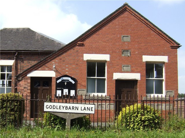
Dilhorne
Civil Parish in Staffordshire Staffordshire Moorlands
England
Dilhorne
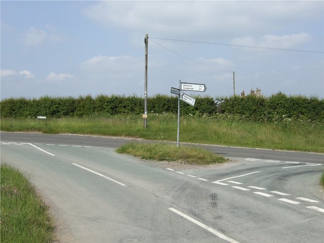
Dilhorne is a civil parish located in the county of Staffordshire, England. Situated approximately 4 miles east of the town of Cheadle, Dilhorne covers an area of about 2 square miles and is home to a population of around 1,500 people.
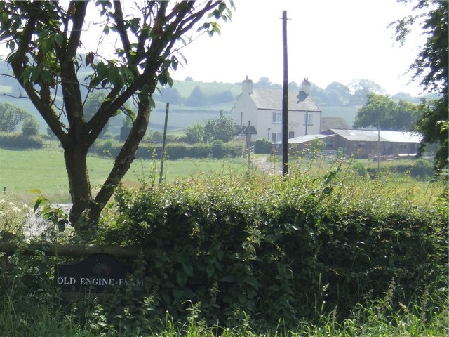
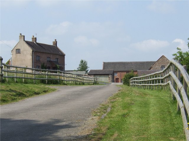
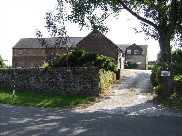
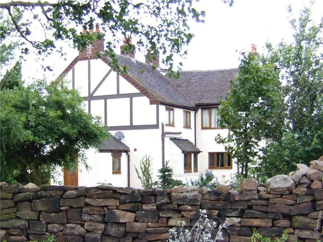
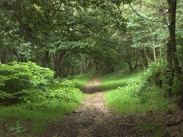
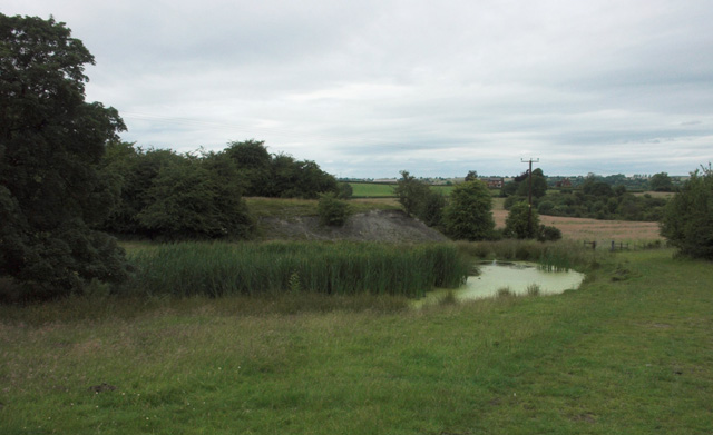
The parish is primarily a rural area characterized by picturesque countryside and rolling hills. Dilhorne is surrounded by farmland, and agriculture plays a significant role in the local economy. The landscape is dotted with charming cottages and traditional farmhouses, adding to the area's idyllic charm.
The village itself is small but vibrant, with a community spirit that is evident in the various events and activities organized throughout the year. Dilhorne has a close-knit community, and residents often come together for social gatherings and fundraisers.
The parish boasts several notable landmarks, including the historic Dilhorne Hall, a Grade II listed building dating back to the 17th century. The hall is surrounded by beautiful gardens and offers a glimpse into the area's rich history.
Nature enthusiasts can enjoy the nearby Dilhorne Recreation Ground, a popular green space that provides opportunities for outdoor activities such as walking, picnicking, and sports. The area is also well-connected to the larger towns and cities in Staffordshire, making it an attractive place to live for those seeking a quieter rural lifestyle with easy access to urban amenities.
Overall, Dilhorne is a charming civil parish that offers a peaceful and picturesque setting for its residents, with a strong sense of community and a rich historical heritage.
If you have any feedback on the listing, please let us know in the comments section below.
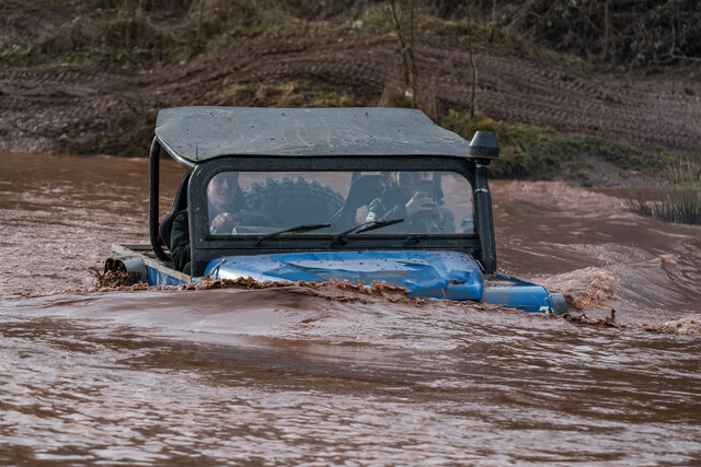
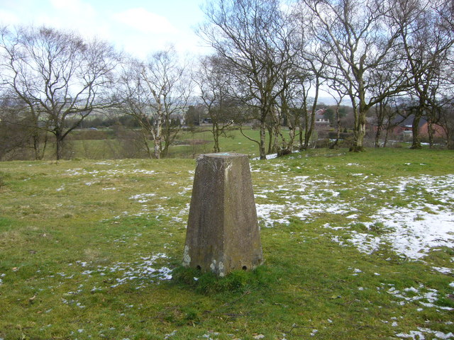
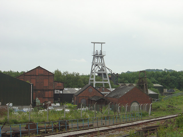
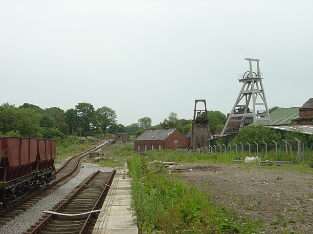
Dilhorne Images
Images are sourced within 2km of 52.998256/-2.042999 or Grid Reference SJ9744. Thanks to Geograph Open Source API. All images are credited.


Dilhorne is located at Grid Ref: SJ9744 (Lat: 52.998256, Lng: -2.042999)
Administrative County: Staffordshire
District: Staffordshire Moorlands
Police Authority: Staffordshire
What 3 Words
///endearing.taker.couriers. Near Cheadle, Staffordshire
Nearby Locations
Related Wikis

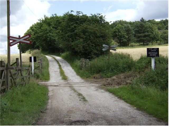
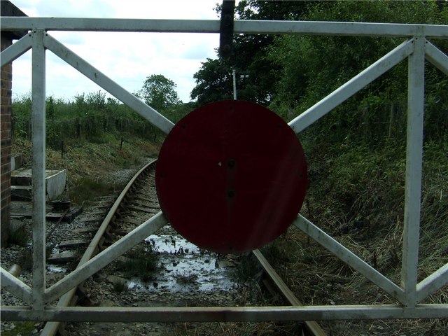
Dilhorne Park railway station
Dilhorne Park railway station is a heritage railway station in Staffordshire on the Foxfield Railway. The station is a halt set in woodland, and at 760...

Dilhorne
Dilhorne is an ancient parish and village in Staffordshire, three miles from Cheadle and six miles from Stoke-on-Trent. The village is within the Staffordshire...
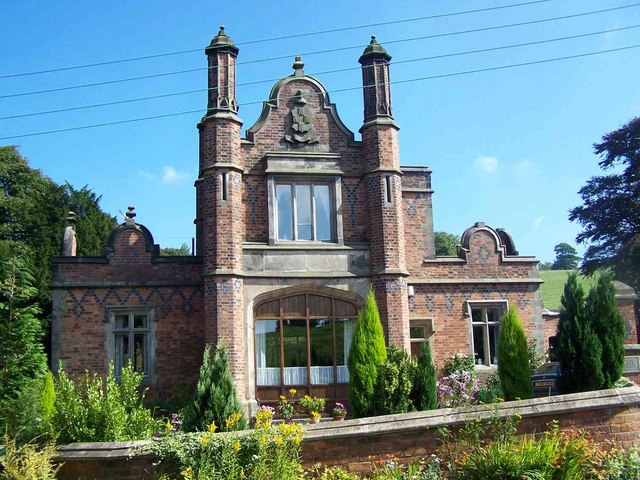
Dilhorne Hall
Dilhorne Hall located in Dilhorne, Staffordshire, England, was the ancestral home of the Buller family. == History == The Hall occupied an area of approximately...

Caverswall
Caverswall is a village and parish in Staffordshire, to the south west of Staffordshire Moorlands. In the middle of the 19th century there were about 1500...

Caverswall Castle
Caverswall Castle is a privately owned early-17th-century English mansion built in a castellar style upon the foundations and within the walls of a 13th...
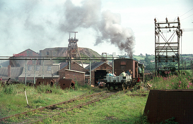
Cheadle Coalfield
The Cheadle Coalfield is a coalfield in the United Kingdom. Centred on the town of Cheadle, Staffordshire and its outlying villages it lies to the east...
Foxfield Railway
The Foxfield Railway is a preserved standard gauge line located south east of Stoke-on-Trent. The line was built in 1893 to serve the colliery at Dilhorne...

Cookshill
Cookshill is a small village in the civil parish of Caverswall, Staffordshire, England, near to Weston Coyney. == References ==
Nearby Amenities
Located within 500m of 52.998256,-2.042999Have you been to Dilhorne?
Leave your review of Dilhorne below (or comments, questions and feedback).