Foxfield Wood

Wood, Forest in Staffordshire Staffordshire Moorlands

England

Foxfield Wood

Car or Boat, Caverswall Quarry
Car or Boat, Caverswall Quarry Credit: Brian Deegan

Foxfield Wood is a picturesque woodland located in Staffordshire, England. Spanning an area of approximately 50 acres, it is nestled in the heart of the Staffordshire Moorlands. The wood is known for its diverse range of flora and fauna, making it a popular destination for nature enthusiasts and wildlife lovers.

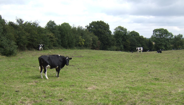
The woodland is primarily composed of broadleaf trees, including oak, beech, and birch, which create a dense canopy overhead. This canopy provides ample shade and shelter for a variety of woodland animals, such as deer, foxes, and squirrels, which can often be spotted roaming the forest floor.

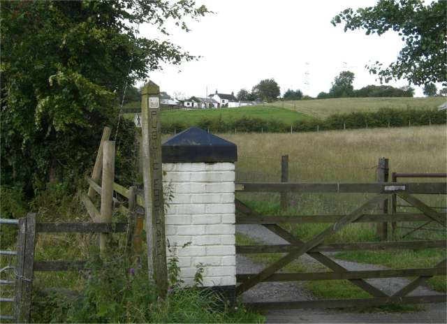
Walking through Foxfield Wood is a truly immersive experience, with a network of well-maintained footpaths that allow visitors to explore the area at their own pace. As you wander along the winding trails, you may stumble upon charming clearings dotted with wildflowers, adding bursts of color to the otherwise green landscape.

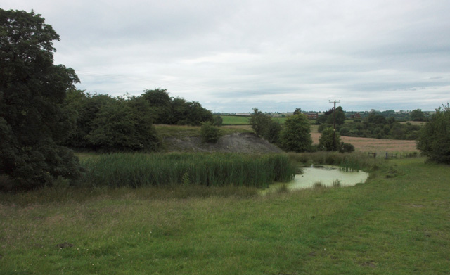
The wood also boasts a small pond, which serves as a vital water source for the resident wildlife. The tranquil atmosphere surrounding the pond is perfect for birdwatching, as numerous species of birds, including woodpeckers and owls, frequent the area.

Foxfield Wood is not only a haven for wildlife but also an important conservation site. Efforts are made to preserve the natural habitat and protect the woodland ecosystem, ensuring its longevity for future generations to enjoy. The wood is open to the public year-round, allowing visitors to connect with nature and appreciate the beauty of this Staffordshire gem.

If you have any feedback on the listing, please let us know in the comments section below.

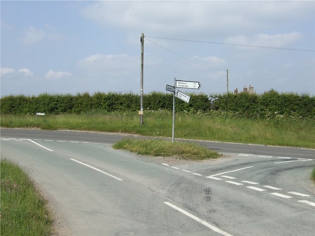
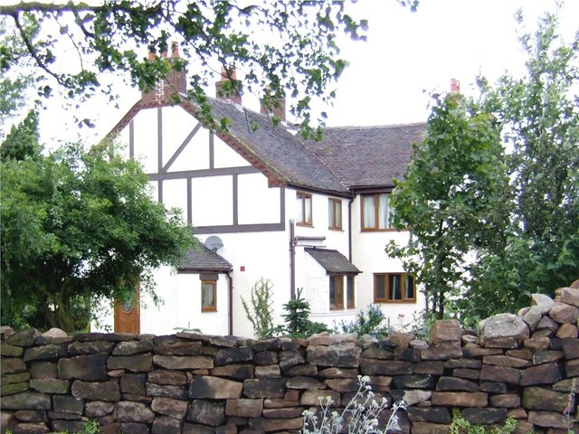
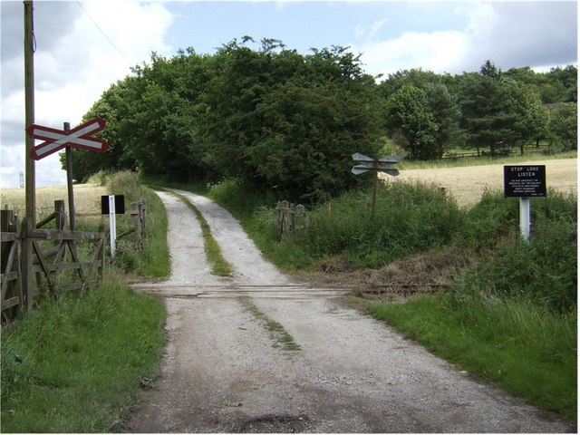
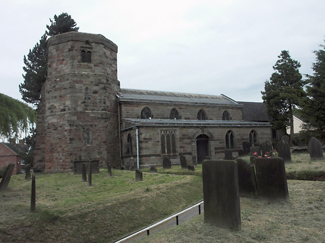
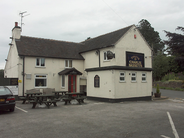
Foxfield Wood Images

Images are sourced within 2km of 53.000658/-2.0391475 or Grid Reference SJ9744. Thanks to Geograph Open Source API. All images are credited.

Car or Boat, Caverswall Quarry
Dilhorne trig
Dilhorne trig
Dilhorne Colliery This small colliery was an outlier to the main North Staffordshire coalfield around the Potteries and was always situated in a rural setting. Despite closure in the 60s, many of the original colliery buildings have survived, partly due to having been occupied by a chemical firm that operated the site until very recently. The colliery was also used as the base for the Foxfield Light Railway <a href="https://www.geograph.org.uk/photo/427914">SJ9744 : Foxfield Light Railway at Dilhorne Colliery, 1970</a> until it developed its current headquarters at Caverswall. The line was the rail link from the colliery to the main British Rail network.
Since the move to Caverswall, the Foxfield Railway has not operated passenger services to the colliery site, terminating short at Dilhorne Park. In recent years work has been proceeding to bring the rest of line up to standard again, and passenger services are due to recommence to Dilhorne Colliery in 2007. As part of the regeneration of the site, Heritage Lottery funding has been made avaialble for refurbishment of parts of the colliery site, including the main headgear. This is particularly interesting in being of reinforced concrete construction which was always a rarity.
Dilhorne Colliery
This small colliery was an outlier to the main North Staffordshire coalfield around the Potteries and was always situated in a rural setting. Despite closure in the 60s, many of the original colliery buildings have survived, partly due to having been occupied by a chemical firm that operated the site until very recently. The colliery was also used as the base for the Foxfield Light Railway SJ9744 : Foxfield Light Railway at Dilhorne Colliery, 1970 until it developed its current headquarters at Caverswall. The line was the rail link from the colliery to the main British Rail network. Since the move to Caverswall, the Foxfield Railway has not operated passenger services to the colliery site, terminating short at Dilhorne Park. In recent years work has been proceeding to bring the rest of line up to standard again, and passenger services are due to recommence to Dilhorne Colliery in 2007. As part of the regeneration of the site, Heritage Lottery funding has been made avaialble for refurbishment of parts of the colliery site, including the main headgear. This is particularly interesting in being of reinforced concrete construction which was always a rarity.
Dilhorne Colliery Station Work in progress (June 2006) on the new terminus of the Foxfield Light Railway. This was the original terminus and headquarters of the railway before its move to Caverswall, after which the service to the colliery site was discontinued. heritage lottery grants have bee obtained for redevelopment of the colliery site, including refurbishment of some of the colliery buildings and structures. The main headgear structure on the right has already benefited from this.
Dilhorne Colliery Station
Work in progress (June 2006) on the new terminus of the Foxfield Light Railway. This was the original terminus and headquarters of the railway before its move to Caverswall, after which the service to the colliery site was discontinued. heritage lottery grants have bee obtained for redevelopment of the colliery site, including refurbishment of some of the colliery buildings and structures. The main headgear structure on the right has already benefited from this.
Foxfield Light Railway at Dilhorne Colliery, 1970 A shot taken during the early days of the Foxfield Light Railway, for comparison with those of the present day <a href="https://www.geograph.org.uk/photo/427619">SJ9744 : Dilhorne Colliery</a>. This was at the time the railway's operating centre, using many of the sidings in the former colliery area. These have since been removed, basically leaving only the main line. Several of the colliery buildings visible in this picture no longer exist, and the spoil heap has been landscaped.
Foxfield Light Railway at Dilhorne Colliery, 1970
A shot taken during the early days of the Foxfield Light Railway, for comparison with those of the present day SJ9744 : Dilhorne Colliery. This was at the time the railway's operating centre, using many of the sidings in the former colliery area. These have since been removed, basically leaving only the main line. Several of the colliery buildings visible in this picture no longer exist, and the spoil heap has been landscaped.
Dilhorne Methodist Church Dilhorne Methodist Church in Godleybrook was built in 1816. It is part of the Cheadle Methodist Circuit.
Dilhorne Methodist Church
Dilhorne Methodist Church in Godleybrook was built in 1816. It is part of the Cheadle Methodist Circuit.
Old Engine Farm The area around this farm was extensively mined for coal. In the 1770s, two Newcomen-type steam engines, known as "fire engines", were built to pump water from a nearby mine.
Old Engine Farm
The area around this farm was extensively mined for coal. In the 1770s, two Newcomen-type steam engines, known as "fire engines", were built to pump water from a nearby mine.
Bank Top Farm
Bank Top Farm
Little Bank Top Farm
Junction of Tickhill Lane and Bank Top Road
Summerhill House
Summerhill House
Farm Crossing on the Foxfield Steam Railway The Foxfield Railway was built in 1892-1893 to provide a link to the national railway network for the Foxfield Colliery. It is now a preserved steam railway run by the Foxfield Light Railway Society.
Farm Crossing on the Foxfield Steam Railway
The Foxfield Railway was built in 1892-1893 to provide a link to the national railway network for the Foxfield Colliery. It is now a preserved steam railway run by the Foxfield Light Railway Society.
Blake Hall Fisheries near Brookhouses These 30 acres of fishing lakes have been created in stages since 1990 by local farmer John Heath.
Blake Hall Fisheries near Brookhouses
These 30 acres of fishing lakes have been created in stages since 1990 by local farmer John Heath.
Overgrown pond near Dilhorne This small pond is beside the crossing of several footpaths. It may have been connected with long-closed Blake Hall Colliery which was nearby.
Overgrown pond near Dilhorne
This small pond is beside the crossing of several footpaths. It may have been connected with long-closed Blake Hall Colliery which was nearby.
All Saints church, Dilhorne The Grade II listed Church of All Saints at Dilhorne has one of the few octagonal towers in the country. The lower part of the tower was built in the early 13th century while the remainder of the church dates from the late 13th century.
All Saints church, Dilhorne
The Grade II listed Church of All Saints at Dilhorne has one of the few octagonal towers in the country. The lower part of the tower was built in the early 13th century while the remainder of the church dates from the late 13th century.
Charlie Bassett's - Dilhorne
Ward Hill Farm entrance
Staffordshire dairy land View east of Bate Lane near Greenhead.
Staffordshire dairy land
View east of Bate Lane near Greenhead.
Show me another place!

Foxfield Wood is located at Grid Ref: SJ9744 (Lat: 53.000658, Lng: -2.0391475)

Administrative County: Staffordshire

District: Staffordshire Moorlands

Police Authority: Staffordshire

What 3 Words

///ignoring.duplicity.lunges. Near Cheadle, Staffordshire

Related Wikis

Dilhorne Park railway station

Dilhorne Park railway station is a heritage railway station in Staffordshire on the Foxfield Railway. The station is a halt set in woodland, and at 760...

Dilhorne

Dilhorne is an ancient parish and village in Staffordshire, three miles from Cheadle and six miles from Stoke-on-Trent. The village is within the Staffordshire...

Dilhorne Hall

Dilhorne Hall located in Dilhorne, Staffordshire, England, was the ancestral home of the Buller family. == History == The Hall occupied an area of approximately...

Cheadle Coalfield

The Cheadle Coalfield is a coalfield in the United Kingdom. Centred on the town of Cheadle, Staffordshire and its outlying villages it lies to the east...

Caverswall

Caverswall is a village and parish in Staffordshire, to the south west of Staffordshire Moorlands. In the middle of the 19th century there were about 1500...

Caverswall Castle

Caverswall Castle is a privately owned early-17th-century English mansion built in a castellar style upon the foundations and within the walls of a 13th...
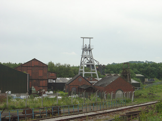
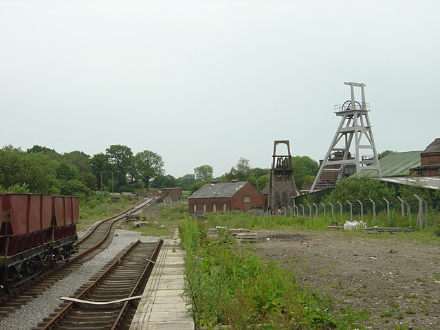
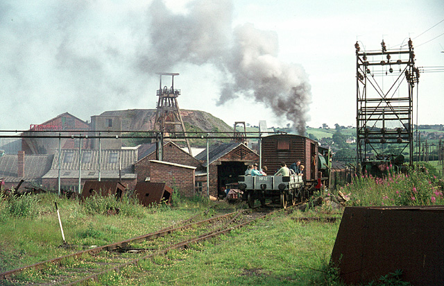
Foxfield Railway

The Foxfield Railway is a preserved standard gauge line located south east of Stoke-on-Trent. The line was built in 1893 to serve the colliery at Dilhorne...

Cookshill

Cookshill is a small village in the civil parish of Caverswall, Staffordshire, England, near to Weston Coyney. == References ==

Related Videos

woods walk in consall | Three District | camping in UK | Survival camp | life in UK |adventure trip

I_survived_another_wet_camp #Survival_Camp_in_the_UK #nature #life_of_a_student #hindi #uk #viralvideos #indianvlogger ...

Scouting in the UK 1| Indian Student in the UK | adventure time | camping | scouting | woods walk

I_survived_another_wet_camp #Survival_Camp_in_the_UK #nature #life_of_a_student #hindi #uk #viralvideos #indianvlogger ...

Scouting in the UK 4 | Indian Student in the UK | camping in woods

I_survived_another_wet_camp #Survival_Camp_in_the_UK #nature #life_of_a_student #hindi #uk #viralvideos #indianvlogger ...

Whitehurst Lane Nr Cellarhead to Dilhorne village boundary - Morning walk, Mid April, 2020

Whitehurst Lane, Nr Cellarhead to Dilhorne village boundary - Morning walk, Mid April, 2020. After dropping the good wife off to ...

Nearby Amenities

Located within 500m of 53.000658,-2.0391475
Railway: switch
Lat/Long: 52.9989654/-2.0369497
Railway: switch
Lat/Long: 53.0007721/-2.0463052
Railway: switch
Lat/Long: 53.0010068/-2.0460064
Railway: switch
Lat/Long: 53.0014839/-2.0370676
Railway: switch
Lat/Long: 53.0015226/-2.037037
Railway: switch
Lat/Long: 53.001652/-2.0371285
Railway: buffer_stop
Lat/Long: 53.0016975/-2.0452635
Railway: railway_crossing
Lat/Long: 52.9993275/-2.0369191
Railway: buffer_stop
Lat/Long: 52.9988912/-2.0367854
Railway: switch
Lat/Long: 52.9996874/-2.0368999
Railway: buffer_stop
Lat/Long: 53.0004296/-2.0369644
Railway: switch
Lat/Long: 52.999567/-2.037012
Railway: buffer_stop
Lat/Long: 52.9997144/-2.0368985
Historic: memorial
Memorial: war_memorial
Lat/Long: 52.9998157/-2.0347291
Railway: level_crossing
Lat/Long: 53.0025992/-2.0387033
Railway: buffer_stop
Lat/Long: 52.9990888/-2.0375877
Railway: buffer_stop
Lat/Long: 52.9991127/-2.0370349
Power: pole
Lat/Long: 52.9981067/-2.0374486
Foxfield Colliery
Public Transport: station
Railway: station
Usage: tourism
Lat/Long: 52.9984067/-2.0369415
Power: pole
Lat/Long: 52.9969188/-2.0376865
The data included in this document is from www.openstreetmap.org. The data is made available under ODbL.

Have you been to Foxfield Wood?

Leave your review of Foxfield Wood below (or comments, questions and feedback).