Derwent
Civil Parish in Derbyshire High Peak
England
Derwent
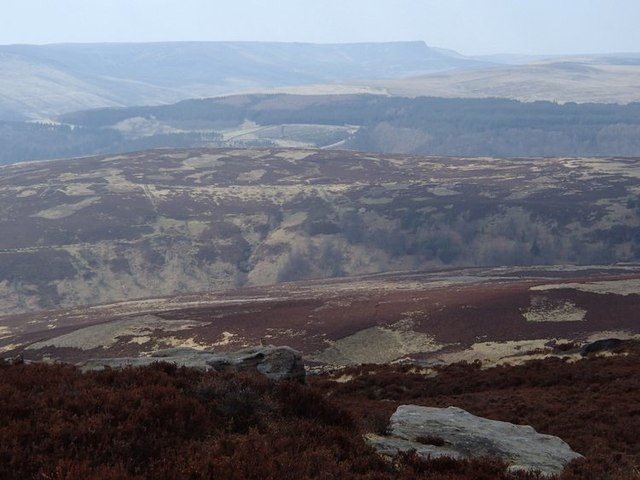
Derwent is a civil parish located in the county of Derbyshire, England. Situated within the Peak District National Park, the parish covers an area of about 13 square miles and is home to a population of approximately 1,500 residents. The village of Derwent is located in a picturesque valley, surrounded by rolling hills and scenic landscapes.
The area is known for its rich history, with evidence of human settlements dating back to the Neolithic period. The village itself has a charming, traditional character, with many well-preserved stone buildings and cottages. The parish is also home to several historical sites, including Derwent Hall, a Grade II listed building that dates back to the 18th century.
Derwent is a popular destination for outdoor enthusiasts, offering a range of activities such as hiking, cycling, and fishing. The nearby Ladybower Reservoir attracts visitors for its scenic beauty and water-based activities. The reservoir was famously used during World War II for the training of the Dambusters, a Royal Air Force squadron.
The economy of Derwent is primarily based on agriculture and tourism, with several local businesses catering to the needs of visitors. The village has a primary school, a church, and a village hall, which serves as a community hub for various events and activities.
Overall, Derwent, Derbyshire, offers a peaceful and idyllic setting for residents and visitors alike, with its stunning natural landscapes, historical sites, and range of outdoor activities.
If you have any feedback on the listing, please let us know in the comments section below.
Derwent Images
Images are sourced within 2km of 53.395502/-1.704656 or Grid Reference SK1988. Thanks to Geograph Open Source API. All images are credited.


Derwent is located at Grid Ref: SK1988 (Lat: 53.395502, Lng: -1.704656)
Administrative County: Derbyshire
District: High Peak
Police Authority: Derbyshire
What 3 Words
///canoe.tracking.tribal. Near Hope Valley, Derbyshire
Nearby Locations
Related Wikis

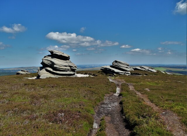
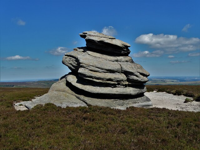
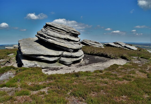
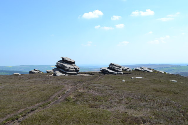
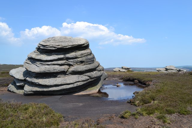
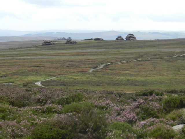
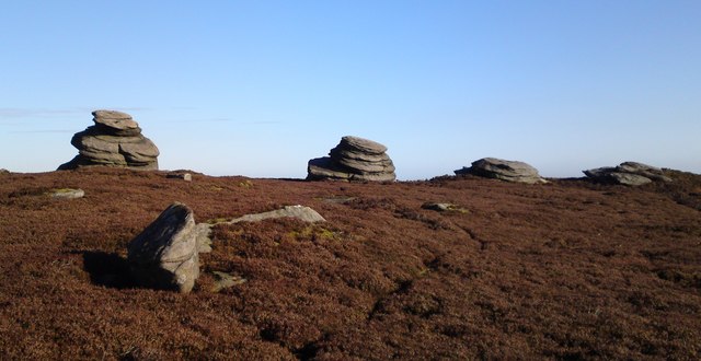
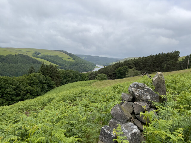
Derwent Edge
Derwent Edge is a Millstone Grit escarpment that lies above the Upper Derwent Valley in the Peak District National Park in the English county of Derbyshire...

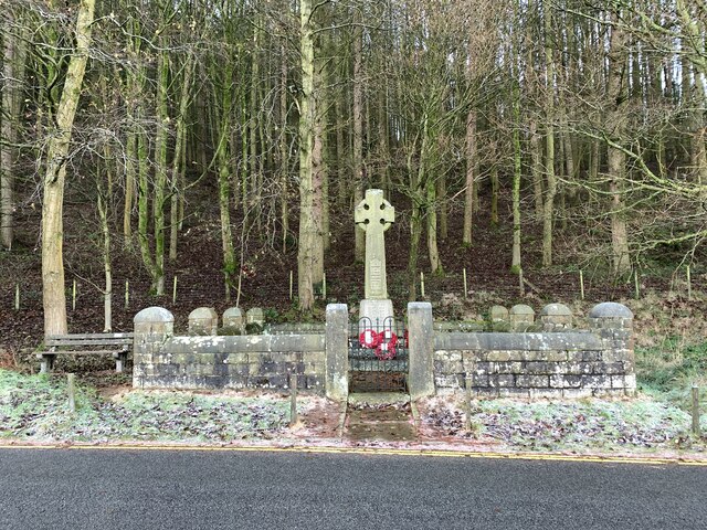
Derwent Woodlands War Memorial
Derwent Woodlands War Memorial is a 20th-century grade II listed war memorial near the Ladybower Reservoir, Derbyshire. == History == The war memorial...

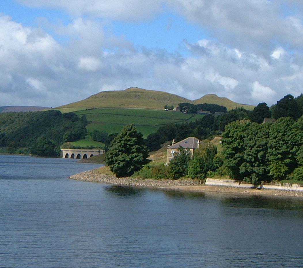
Ladybower Reservoir
Ladybower Reservoir is a large Y-shaped, artificial reservoir, the lowest of three in the Upper Derwent Valley in Derbyshire, England. The River Ashop...

Derwent, Derbyshire
Derwent was a village 'drowned' in 1944 when the Ladybower Reservoir in Derbyshire, England was created. The village of Ashopton, Derwent Woodlands church...
Crook Hill
Crook Hill is a small hill in the Peak District National Park in the English county of Derbyshire, 5 kilometres (3.1 mi) northeast of Castleton. ��2�...

Lost Lad
Lost Lad is a hill, 518 metres (1,699 ft) high on the Derwent Edge in the Peak District in the county of Derbyshire in England. It is a subpeak of Back...

River Ashop
The River Ashop is a river in the Derbyshire Peak District, England. Its source is on the eastern slopes of Mill Hill, three miles south east of Glossop...

Hordron Edge stone circle
Hordron Edge stone circle, also known as 'The Seven Stones of Hordron' is a Bronze Age stone circle (grid reference SK2152486851) in Derbyshire, England...
Nearby Amenities
Located within 500m of 53.395502,-1.704656Have you been to Derwent?
Leave your review of Derwent below (or comments, questions and feedback).