Grainfoot Clough
Valley in Derbyshire High Peak
England
Grainfoot Clough
Grainfoot Clough is a picturesque valley situated in the county of Derbyshire, England. Nestled within the beautiful Peak District National Park, it offers visitors a tranquil and scenic escape from the hustle and bustle of city life.
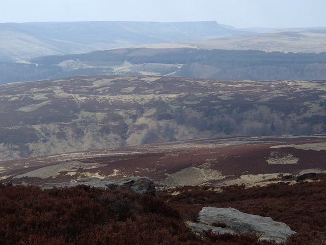
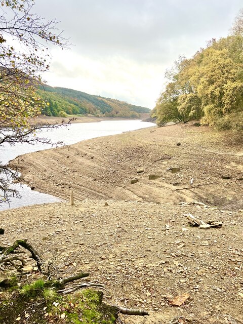
The valley is characterized by its rolling hills, lush green meadows, and charming stone-built cottages. It is traversed by the meandering Grainfoot Brook, which adds to the idyllic atmosphere of the area. The brook is fed by several natural springs and is home to a variety of aquatic life, including brown trout.
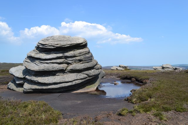
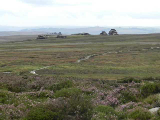
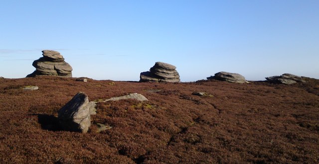
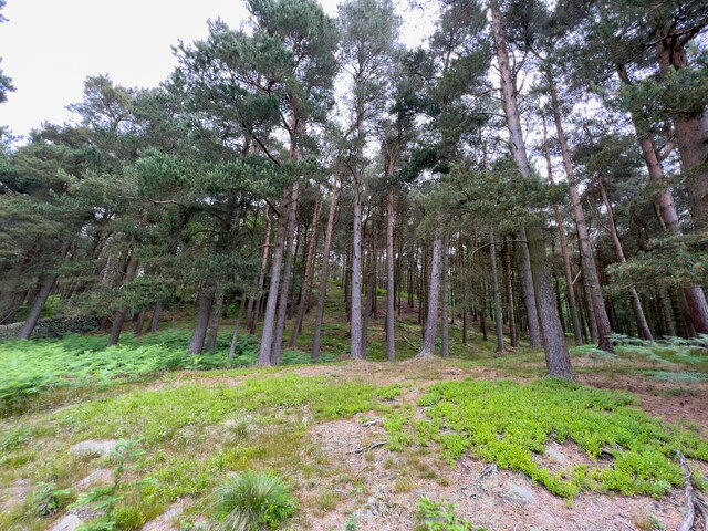
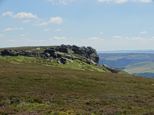
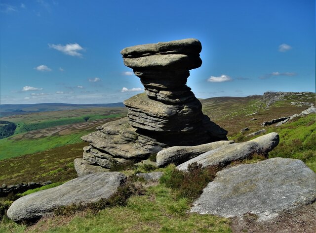
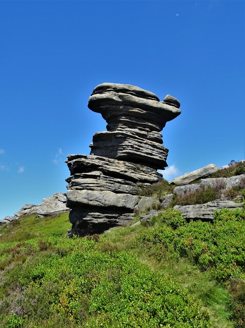
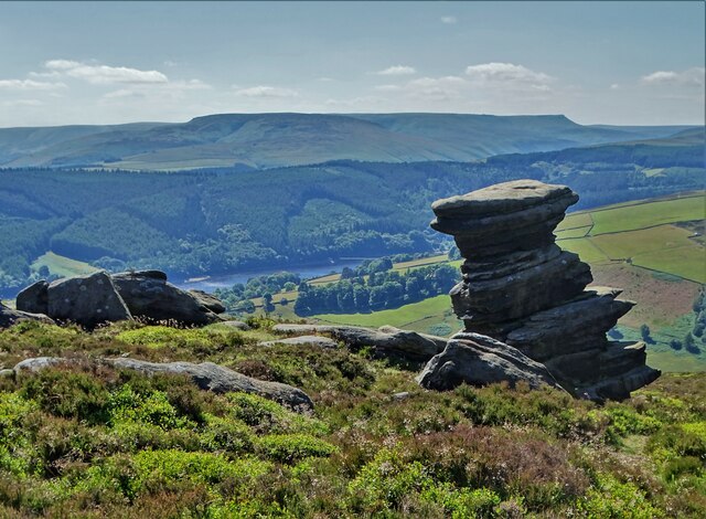
Grainfoot Clough is also renowned for its rich biodiversity. The valley is covered in a patchwork of woodlands, heathlands, and moorlands, providing habitats for numerous plant and animal species. Visitors can spot an array of bird species, such as peregrine falcons, curlews, and red grouse, as well as rare wildflowers like the Derbyshire feather-moss and Jacob's ladder.
The valley is a haven for outdoor enthusiasts, with an extensive network of walking trails and footpaths. The popular Derwent Valley Heritage Way passes through Grainfoot Clough, allowing hikers to explore the valley's breathtaking scenery and discover its historical landmarks, including ancient stone circles and remnants of old lead mines.
For those seeking a peaceful retreat, Grainfoot Clough offers a range of accommodation options, from rustic bed and breakfasts to cozy holiday cottages. Additionally, there are several quaint tearooms and country pubs in the nearby villages, where visitors can savor traditional English fare and locally brewed ales.
In conclusion, Grainfoot Clough is a hidden gem in Derbyshire, offering a perfect blend of natural beauty, biodiversity, and outdoor activities. Whether you are a nature lover, history enthusiast, or simply seeking serenity, this enchanting valley has something to offer everyone.
If you have any feedback on the listing, please let us know in the comments section below.
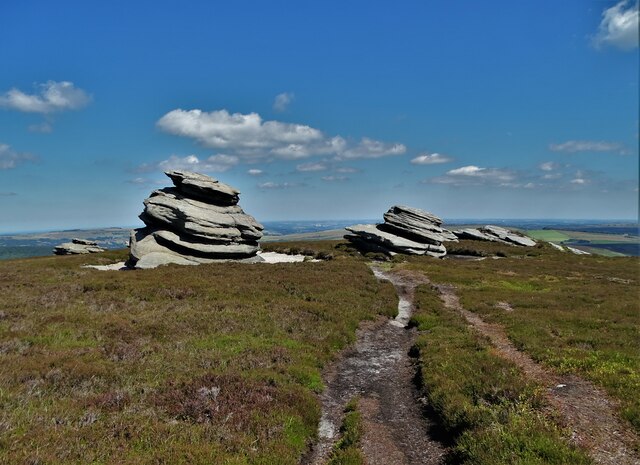
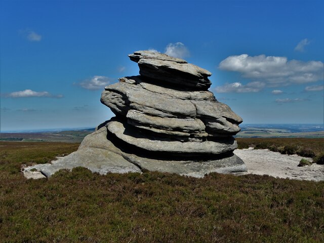
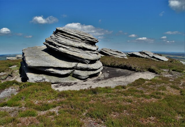
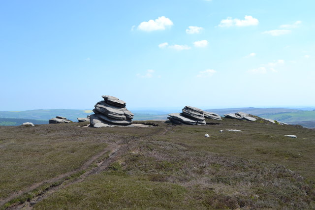
Grainfoot Clough Images
Images are sourced within 2km of 53.39027/-1.7069477 or Grid Reference SK1988. Thanks to Geograph Open Source API. All images are credited.
Grainfoot Clough is located at Grid Ref: SK1988 (Lat: 53.39027, Lng: -1.7069477)
Administrative County: Derbyshire
District: High Peak
Police Authority: Derbyshire
What 3 Words
///detail.schools.joked. Near Hope Valley, Derbyshire
Nearby Locations
Related Wikis

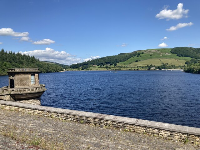
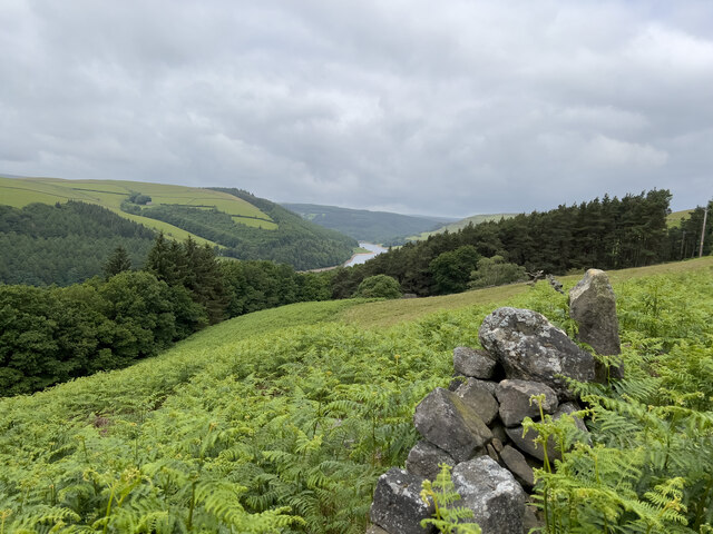
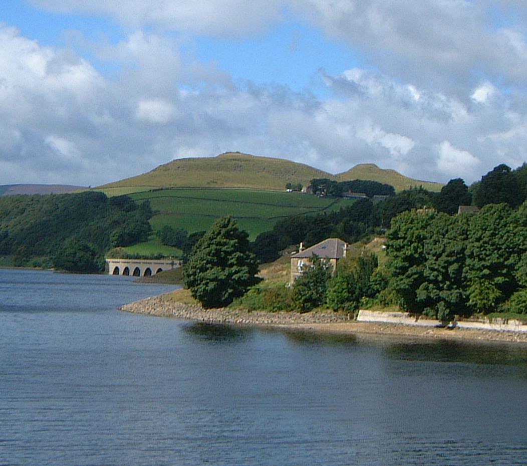
Ladybower Reservoir
Ladybower Reservoir is a large Y-shaped, artificial reservoir, the lowest of three in the Upper Derwent Valley in Derbyshire, England. The River Ashop...

Derwent Edge
Derwent Edge is a Millstone Grit escarpment that lies above the Upper Derwent Valley in the Peak District National Park in the English county of Derbyshire...

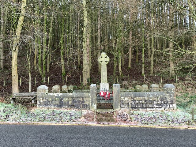
Derwent Woodlands War Memorial
Derwent Woodlands War Memorial is a 20th-century grade II listed war memorial near the Ladybower Reservoir, Derbyshire. == History == The war memorial...

Derwent, Derbyshire
Derwent was a village 'drowned' in 1944 when the Ladybower Reservoir in Derbyshire, England was created. The village of Ashopton, Derwent Woodlands church...
Crook Hill
Crook Hill is a small hill in the Peak District National Park in the English county of Derbyshire, 5 kilometres (3.1 mi) northeast of Castleton. ��2�...

River Ashop
The River Ashop is a river in the Derbyshire Peak District, England. Its source is on the eastern slopes of Mill Hill, three miles south east of Glossop...

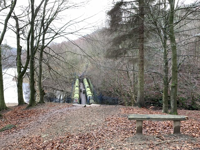
Birchinlee
Birchinlee is the site of "Tin Town", a village built by the Derwent Valley Water Board for the workers (and their families) who constructed the Derwent...

Ashopton
Ashopton was a small village in Derbyshire, England, in the valley of the River Ashop. The village population was less than 100. Details are included in...
Nearby Amenities
Located within 500m of 53.39027,-1.7069477Have you been to Grainfoot Clough?
Leave your review of Grainfoot Clough below (or comments, questions and feedback).