White Tor
Hill, Mountain in Derbyshire High Peak
England
White Tor
White Tor is a prominent hill located in the county of Derbyshire, England. Situated within the Peak District National Park, it forms part of the stunning landscape that attracts outdoor enthusiasts and nature lovers alike. With an elevation of approximately 417 meters (1,368 feet), it is considered a hill rather than a mountain.
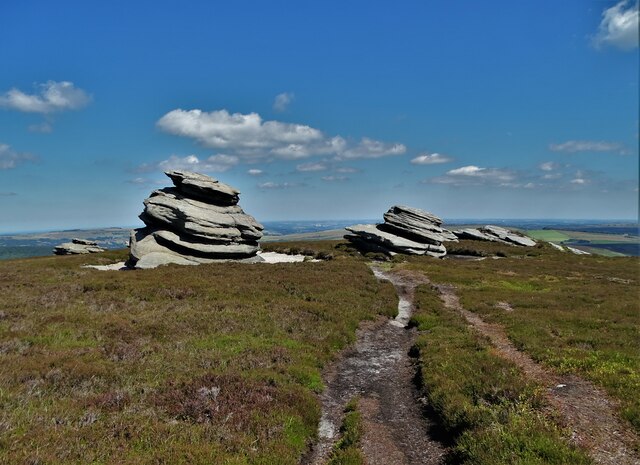
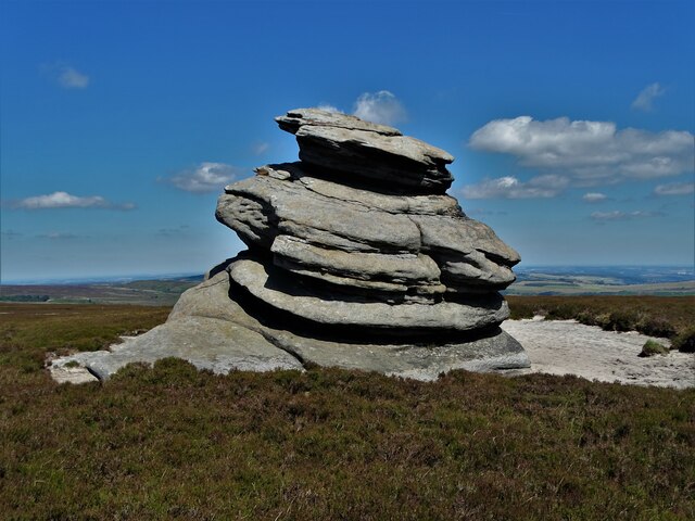
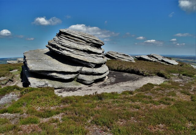
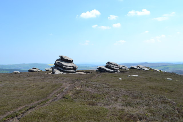
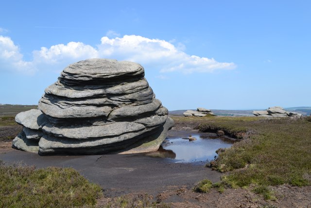
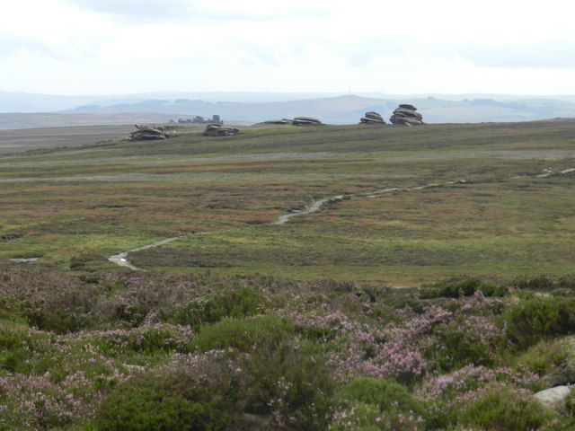
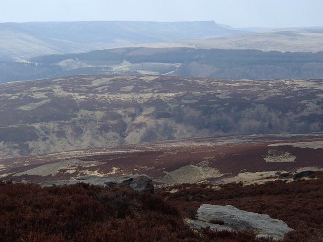
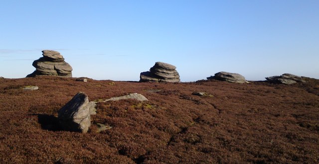
The tor is located near the village of Alport and offers breathtaking views of the surrounding countryside. Its distinctive white color, which gives it its name, is due to the presence of limestone rock formations. These formations are a result of millions of years of erosion and weathering.
White Tor is a popular destination for hikers, walkers, and climbers. Its relatively easy accessibility makes it suitable for people of all ages and fitness levels. The hill offers various footpaths and trails, allowing visitors to explore its beauty and enjoy the tranquil atmosphere of the Peak District.
Wildlife enthusiasts can also find a diverse range of flora and fauna in the vicinity of White Tor. The hill is home to a variety of bird species, including peregrine falcons, kestrels, and buzzards. Additionally, visitors may encounter wild rabbits, squirrels, and even deer during their exploration.
Overall, White Tor in Derbyshire is a picturesque hill that offers stunning views, diverse wildlife, and a peaceful escape for those seeking to immerse themselves in the natural beauty of the Peak District.
If you have any feedback on the listing, please let us know in the comments section below.
White Tor Images
Images are sourced within 2km of 53.395706/-1.7027899 or Grid Reference SK1988. Thanks to Geograph Open Source API. All images are credited.


White Tor is located at Grid Ref: SK1988 (Lat: 53.395706, Lng: -1.7027899)
Administrative County: Derbyshire
District: High Peak
Police Authority: Derbyshire
What 3 Words
///sometime.pillows.detergent. Near Hope Valley, Derbyshire
Nearby Locations
Related Wikis

Derwent Edge
Derwent Edge is a Millstone Grit escarpment that lies above the Upper Derwent Valley in the Peak District National Park in the English county of Derbyshire...

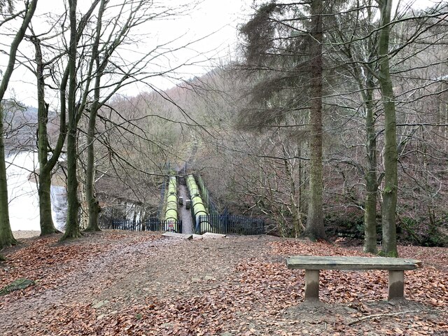
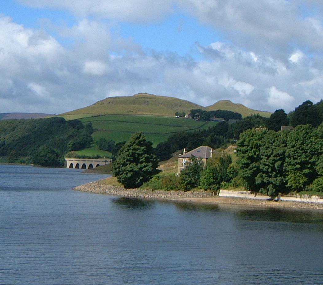
Ladybower Reservoir
Ladybower Reservoir is a large Y-shaped, artificial reservoir, the lowest of three in the Upper Derwent Valley in Derbyshire, England. The River Ashop...

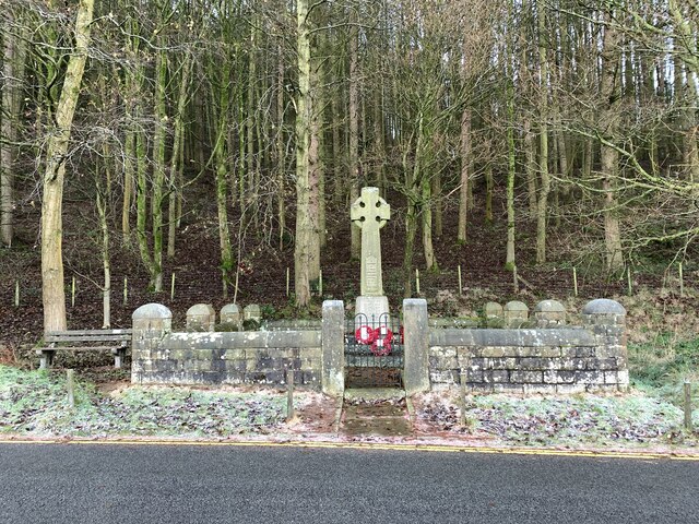
Derwent Woodlands War Memorial
Derwent Woodlands War Memorial is a 20th-century grade II listed war memorial near the Ladybower Reservoir, Derbyshire. == History == The war memorial...

Derwent, Derbyshire
Derwent was a village 'drowned' in 1944 when the Ladybower Reservoir in Derbyshire, England was created. The village of Ashopton, Derwent Woodlands church...

Lost Lad
Lost Lad is a hill, 518 metres (1,699 ft) high on the Derwent Edge in the Peak District in the county of Derbyshire in England. It is a subpeak of Back...
Crook Hill
Crook Hill is a small hill in the Peak District National Park in the English county of Derbyshire, 5 kilometres (3.1 mi) northeast of Castleton. ��2�...

Hordron Edge stone circle
Hordron Edge stone circle, also known as 'The Seven Stones of Hordron' is a Bronze Age stone circle (grid reference SK2152486851) in Derbyshire, England...

River Ashop
The River Ashop is a river in the Derbyshire Peak District, England. Its source is on the eastern slopes of Mill Hill, three miles south east of Glossop...
Nearby Amenities
Located within 500m of 53.395706,-1.7027899Have you been to White Tor?
Leave your review of White Tor below (or comments, questions and feedback).