Desborough
Civil Parish in Northamptonshire
England
Desborough
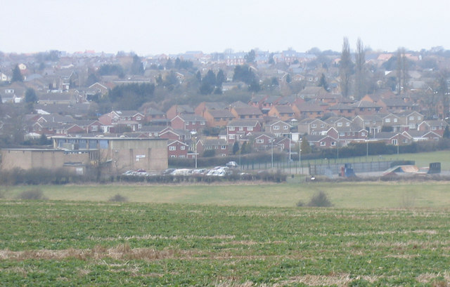
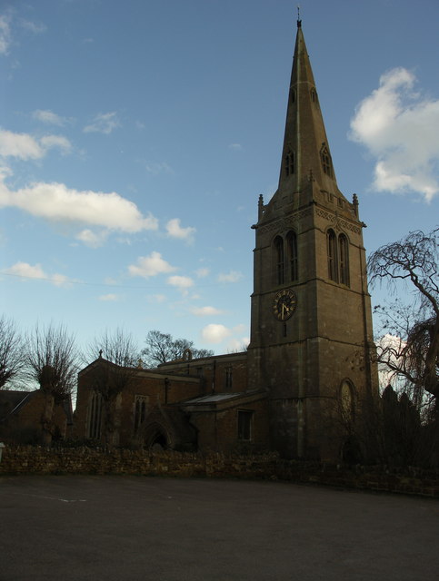
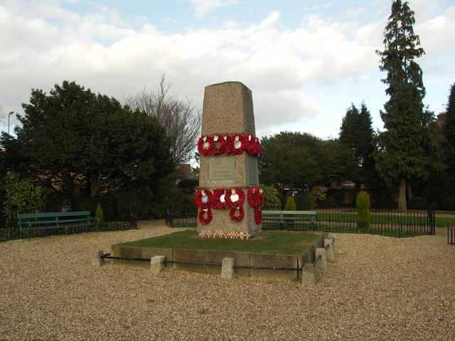
Desborough is a civil parish located in the county of Northamptonshire, England. Situated about 6 miles northeast of Kettering and approximately 15 miles west of the county town of Northampton, it is a small town with a population of around 11,000 residents.
Historically, Desborough was known for its thriving boot and shoe industry, which played a significant role in the town's development. Today, the town retains some of its industrial heritage, with a few shoe factories still operating in the area.
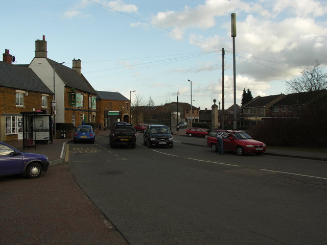
Desborough offers a range of amenities to its residents, including several local shops, supermarkets, pubs, and restaurants. The town also has a primary school and a secondary school, providing education for children of all ages.
Nature lovers can enjoy the nearby Desborough Greenway, a linear park that provides a great place for walking, cycling, and enjoying the outdoors. The park follows the route of a disused railway line and offers picturesque views of the surrounding countryside.
Desborough is well-connected to the rest of the county, with good transport links. The town is situated close to the A6 road, which provides easy access to nearby towns and cities. The nearest railway station is Kettering, which offers regular services to London and other major cities.
Overall, Desborough is a small but vibrant town, offering a blend of history, amenities, and natural beauty. With its convenient location and friendly community, it provides a pleasant place to live for its residents.
If you have any feedback on the listing, please let us know in the comments section below.
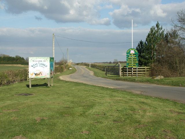
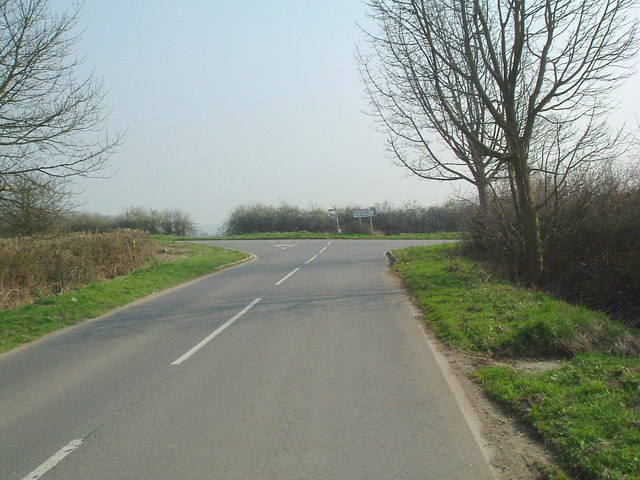
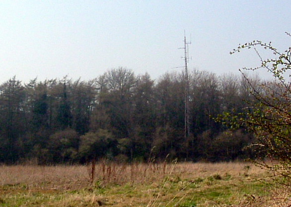
Desborough Images
Images are sourced within 2km of 52.442656/-0.827537 or Grid Reference SP7983. Thanks to Geograph Open Source API. All images are credited.


Desborough is located at Grid Ref: SP7983 (Lat: 52.442656, Lng: -0.827537)
Unitary Authority: North Northamptonshire
Police Authority: Northamptonshire
What 3 Words
///develop.interest.typed. Near Desborough, Northamptonshire
Nearby Locations
Related Wikis

Desborough Town F.C.
Desborough Town Football Club is a football club based in Desborough, Northamptonshire, England. They are currently members of the United Counties League...
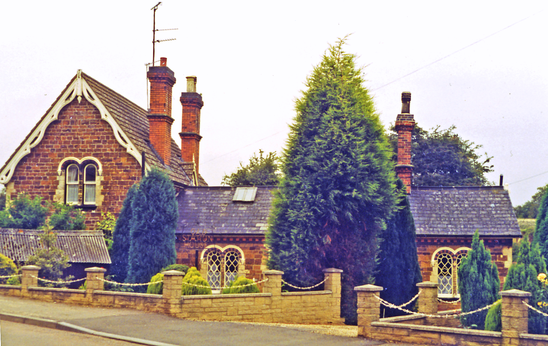
Desborough railway station
Desborough railway station was built by the Midland Railway on its extension from Leicester to Bedford and Hitchin. == History == The station opened on...
Desborough
Desborough is a town in North Northamptonshire, England, lying in the Ise Valley between Market Harborough and Kettering. It was an industrial centre for...

The Plens
The Plens is a 5 hectare nature reserve in Desborough in Northamptonshire. It is managed by the Wildlife Trust for Bedfordshire, Cambridgeshire and Northamptonshire...
Nearby Amenities
Located within 500m of 52.442656,-0.827537Have you been to Desborough?
Leave your review of Desborough below (or comments, questions and feedback).