Cubley
Civil Parish in Derbyshire Derbyshire Dales
England
Cubley
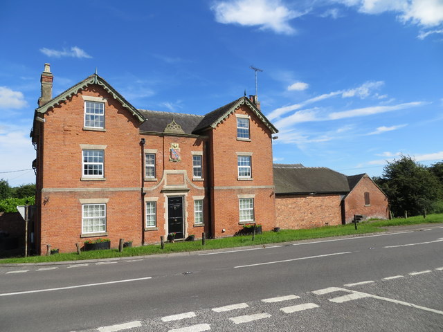
Cubley is a small civil parish located in the county of Derbyshire, England. Situated in the East Midlands region, it is part of the local government district of South Derbyshire. The parish covers an area of approximately 4 square miles and is predominantly rural in nature.
The village of Cubley itself is home to a small population, with around 200 residents. It is located approximately 10 miles south of the city of Derby and is surrounded by picturesque countryside, providing a peaceful and idyllic setting.
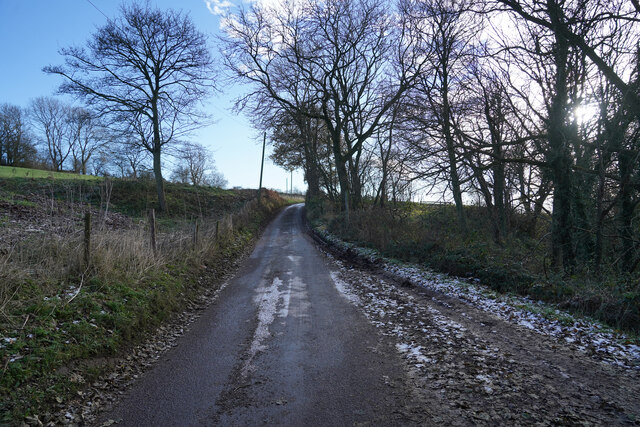
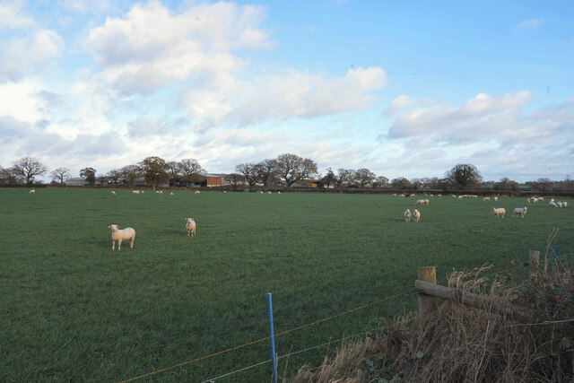
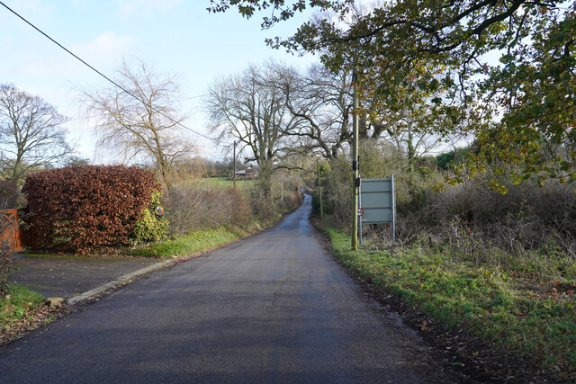
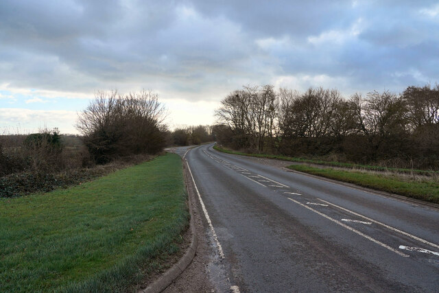
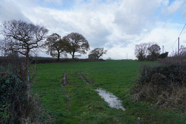
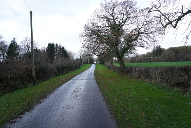
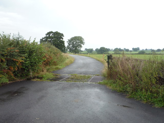
The landscape of Cubley is characterized by rolling hills, green fields, and charming country lanes. The area is known for its farming activities, with agriculture playing a significant role in the local economy. There are several farms scattered across the parish, contributing to the agricultural heritage of the region.
The village features a few amenities for its residents, including a village hall and a local pub. However, due to its small size, many residents rely on nearby towns and villages for additional services and facilities.
Cubley is well-connected to neighboring areas by road, with easy access to major transport links. The A515 road runs through the parish, providing convenient connections to nearby towns and cities.
Overall, Cubley offers a tranquil countryside setting, making it an attractive place for those seeking a peaceful and rural lifestyle in Derbyshire.
If you have any feedback on the listing, please let us know in the comments section below.
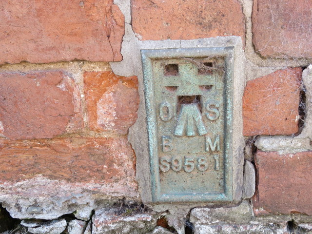
Cubley Images
Images are sourced within 2km of 52.941254/-1.760257 or Grid Reference SK1638. Thanks to Geograph Open Source API. All images are credited.


Cubley is located at Grid Ref: SK1638 (Lat: 52.941254, Lng: -1.760257)
Administrative County: Derbyshire
District: Derbyshire Dales
Police Authority: Derbyshire
What 3 Words
///sentences.pills.contracts. Near Doveridge, Derbyshire
Nearby Locations
Related Wikis

Cubley, Derbyshire
Cubley is a parish of two closely linked villages six miles (10 km) south of Ashbourne in Derbyshire. Great Cubley and Little Cubley are known collectively...
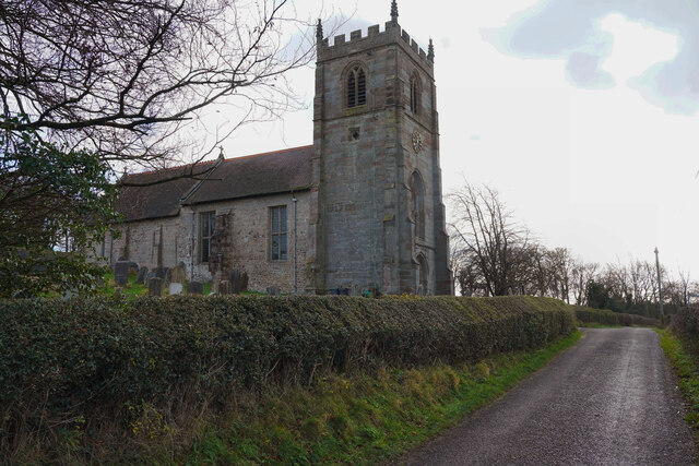
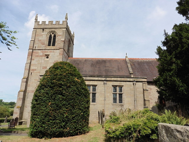
St Andrew's Church, Cubley
St Andrew's Church, Cubley is a Grade I listed parish church in the Church of England in Cubley, Derbyshire. == History == The church dates from the mid...

Hungry Bentley
Hungry Bentley is a deserted medieval village and civil parish in the Derbyshire Dales district of Derbyshire, England, between Uttoxeter and Derby. The...

Stydd Hall
Stydd Hall (Castle) is a country house located near to the village of Yeaveley, Derbyshire, 15 miles (24 km) west of Derby, close to the A515 between Wyaston...
Nearby Amenities
Located within 500m of 52.941254,-1.760257Have you been to Cubley?
Leave your review of Cubley below (or comments, questions and feedback).