Great Cubley
Settlement in Derbyshire Derbyshire Dales
England
Great Cubley
Great Cubley is a small village located in the county of Derbyshire, in the East Midlands region of England. Situated approximately 5 miles southwest of Ashbourne, it falls within the Derbyshire Dales district and is part of the civil parish of Cubley. As of the 2011 census, the village had a population of around 100 residents.
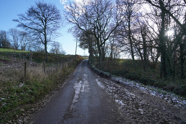
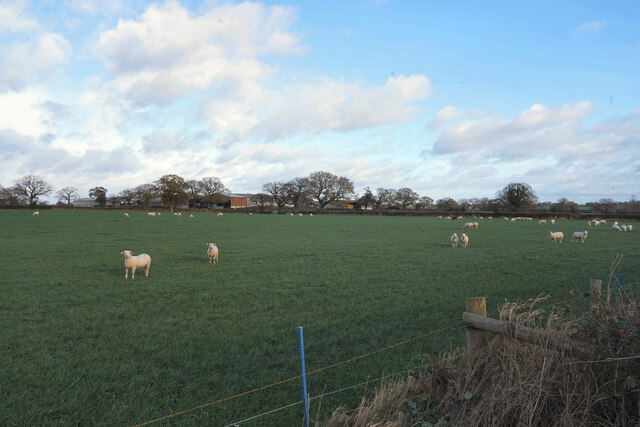
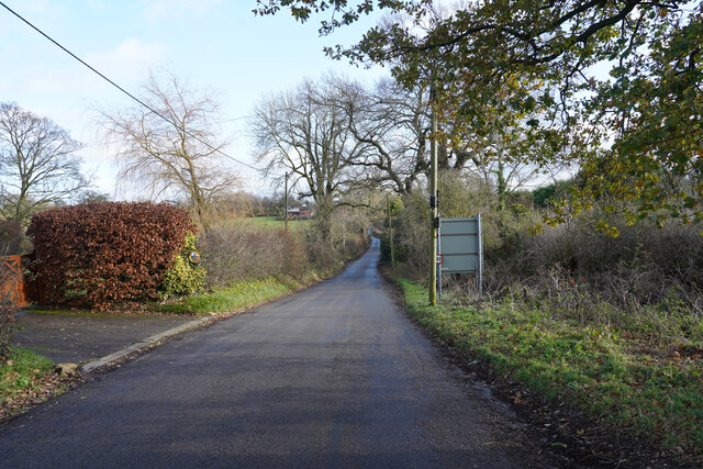
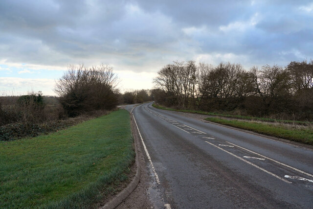
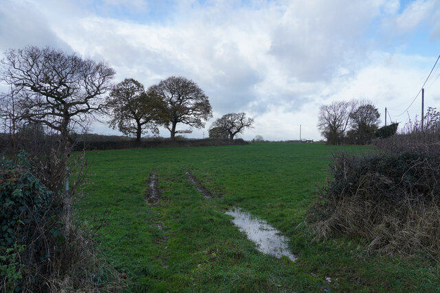
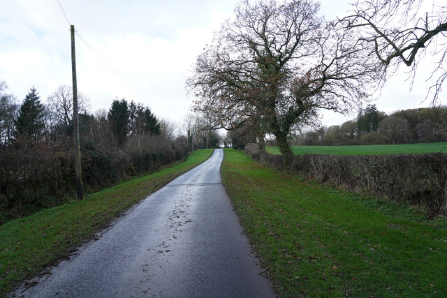
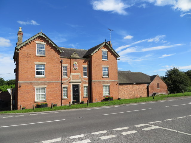
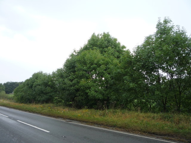
The village of Great Cubley is characterized by its rural setting, with picturesque countryside surrounding it. The landscape is dominated by rolling hills, green fields, and meandering streams, providing a tranquil atmosphere for residents and visitors alike. The village is primarily residential, consisting of a mix of traditional stone cottages, farmhouses, and modern housing.
There are limited amenities within the village, with no shops or schools located directly in Great Cubley. However, a wider range of facilities can be found in the nearby town of Ashbourne, which offers a variety of shops, schools, and recreational opportunities.
Great Cubley is well-positioned for those who enjoy outdoor activities. The surrounding area provides ample opportunities for walking, cycling, and exploring the beautiful Derbyshire countryside. Additionally, the village is located in close proximity to the Peak District National Park, renowned for its stunning landscapes and outdoor pursuits.
Overall, Great Cubley offers a peaceful and idyllic setting for those seeking a rural lifestyle, while still maintaining convenient access to nearby towns and recreational activities.
If you have any feedback on the listing, please let us know in the comments section below.
Great Cubley Images
Images are sourced within 2km of 52.939124/-1.755939 or Grid Reference SK1638. Thanks to Geograph Open Source API. All images are credited.


Great Cubley is located at Grid Ref: SK1638 (Lat: 52.939124, Lng: -1.755939)
Administrative County: Derbyshire
District: Derbyshire Dales
Police Authority: Derbyshire
What 3 Words
///suave.gear.bonfires. Near Doveridge, Derbyshire
Nearby Locations
Related Wikis

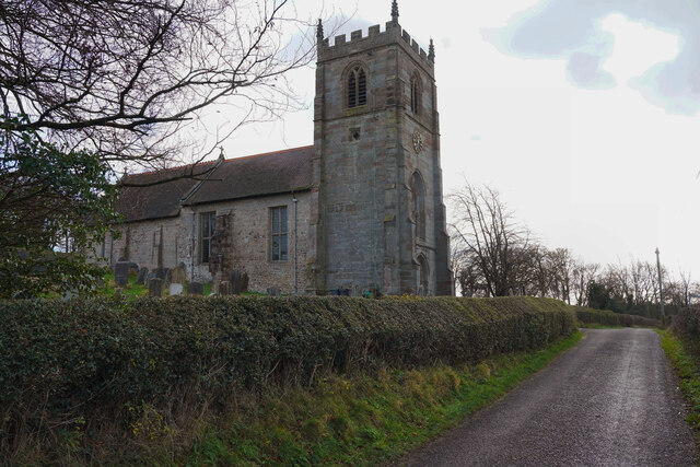
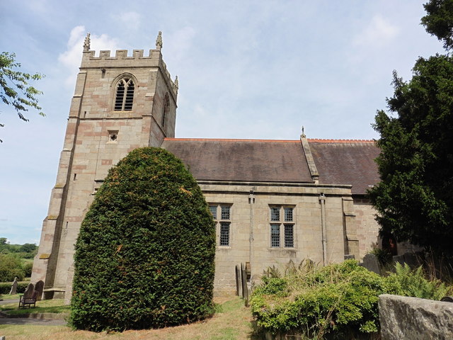
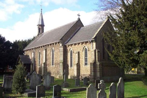
St Andrew's Church, Cubley
St Andrew's Church, Cubley is a Grade I listed parish church in the Church of England in Cubley, Derbyshire. == History == The church dates from the mid...
Cubley, Derbyshire
Cubley is a parish of two closely linked villages six miles (10 km) south of Ashbourne in Derbyshire. Great Cubley and Little Cubley are known collectively...

Hungry Bentley
Hungry Bentley is a deserted medieval village and civil parish in the Derbyshire Dales district of Derbyshire, England, between Uttoxeter and Derby. The...
Alkmonton
Alkmonton is a village and civil parish in the Derbyshire Dales district of Derbyshire, England, roughly between Uttoxeter and Derby. The parish had a...
Nearby Amenities
Located within 500m of 52.939124,-1.755939Have you been to Great Cubley?
Leave your review of Great Cubley below (or comments, questions and feedback).