Cubley, Great
Settlement in Derbyshire Derbyshire Dales
England
Cubley, Great
Cubley is a small village located in the county of Derbyshire, England. Situated in the district of South Derbyshire, it is part of the civil parish of Great. The village is nestled amidst the picturesque countryside, offering stunning views and a tranquil atmosphere.
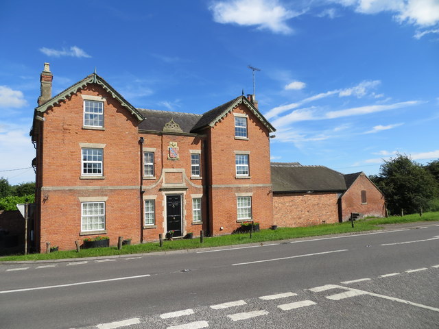
With a population of around 300 residents, Cubley is known for its tight-knit and friendly community. The village is primarily residential, with a mix of traditional stone-built cottages and more modern housing developments. The architecture reflects the charm of the area, with many buildings showcasing the region's rich history.
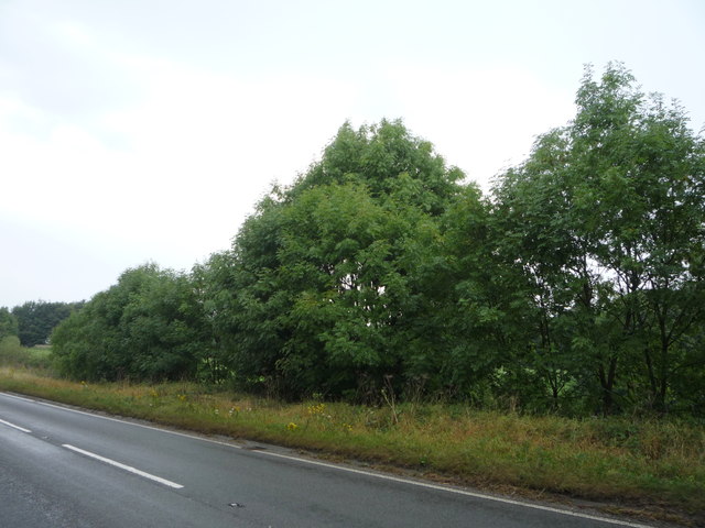
Cubley is surrounded by beautiful countryside, making it an ideal location for outdoor enthusiasts. The village is close to several walking and cycling trails, providing ample opportunities for exploration and enjoying the natural beauty of the area. Additionally, the nearby River Dove is popular for fishing, attracting anglers from far and wide.
Despite its small size, Cubley boasts a strong sense of community spirit. The village has a local pub, which serves as a hub for social gatherings and events. There is also a village hall that hosts various activities and clubs, bringing residents together.
For amenities and services, residents of Cubley can easily access nearby towns such as Uttoxeter and Derby, which offer a wider range of shops, supermarkets, and leisure facilities. The village is well-connected by road, with good transport links to the surrounding areas.
In summary, Cubley is a charming village in Great, Derbyshire, offering a peaceful and close-knit community, picturesque countryside, and easy access to nearby towns and amenities.
If you have any feedback on the listing, please let us know in the comments section below.
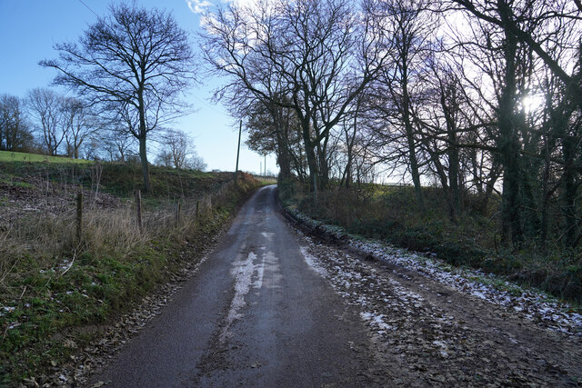
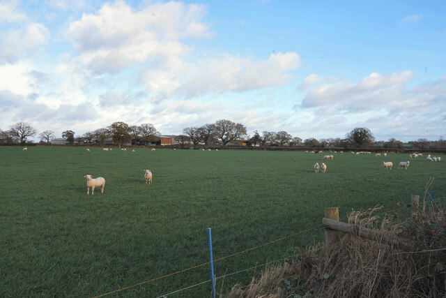
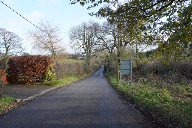
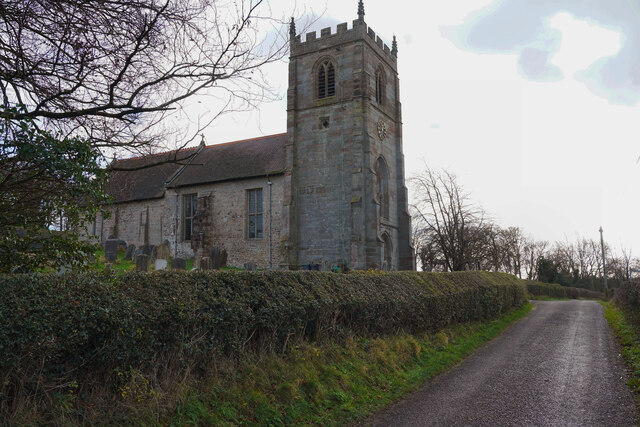
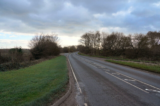
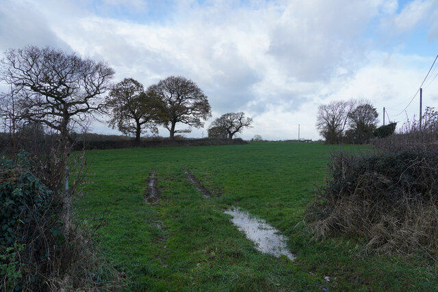
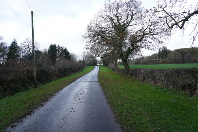
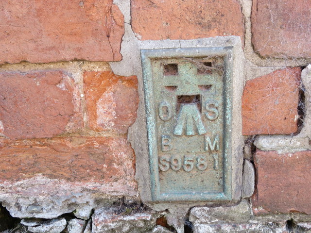
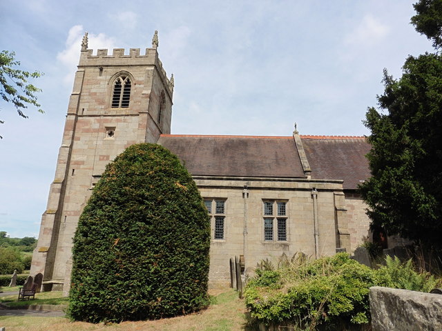
Cubley, Great Images
Images are sourced within 2km of 52.939124/-1.755939 or Grid Reference SK1638. Thanks to Geograph Open Source API. All images are credited.


Cubley, Great is located at Grid Ref: SK1638 (Lat: 52.939124, Lng: -1.755939)
Administrative County: Derbyshire
District: Derbyshire Dales
Police Authority: Derbyshire
What 3 Words
///suave.gear.bonfires. Near Doveridge, Derbyshire
Nearby Locations
Related Wikis

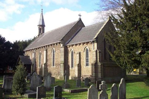
St Andrew's Church, Cubley
St Andrew's Church, Cubley is a Grade I listed parish church in the Church of England in Cubley, Derbyshire. == History == The church dates from the mid...
Cubley, Derbyshire
Cubley is a parish of two closely linked villages six miles (10 km) south of Ashbourne in Derbyshire. Great Cubley and Little Cubley are known collectively...

Hungry Bentley
Hungry Bentley is a deserted medieval village and civil parish in the Derbyshire Dales district of Derbyshire, England, between Uttoxeter and Derby. The...
Alkmonton
Alkmonton is a village and civil parish in the Derbyshire Dales district of Derbyshire, England, roughly between Uttoxeter and Derby. The parish had a...
Nearby Amenities
Located within 500m of 52.939124,-1.755939Have you been to Cubley, Great?
Leave your review of Cubley, Great below (or comments, questions and feedback).