Creswell

Civil Parish in Staffordshire Stafford

England

Creswell

Wind turbines near Doxey, Staffordshire
Wind turbines near Doxey, Staffordshire Credit: Roy Hughes

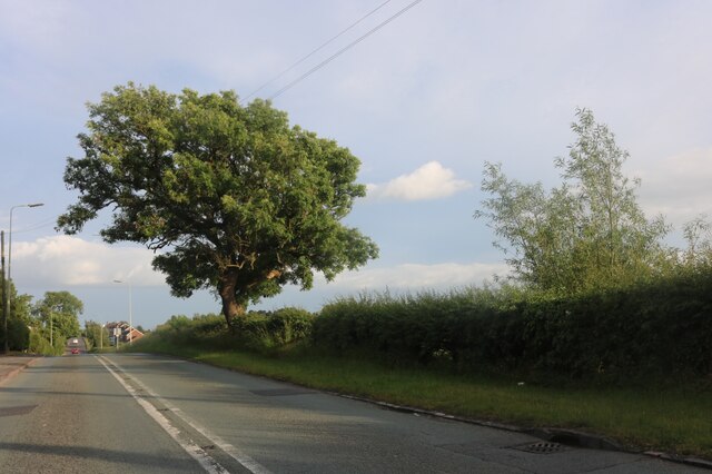
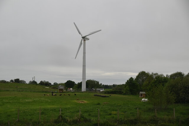
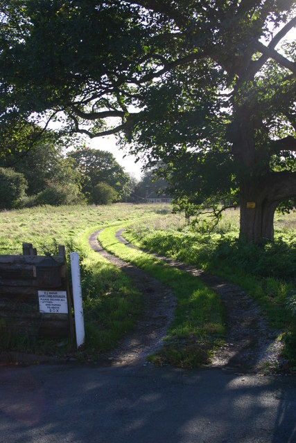
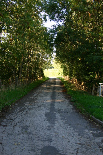
Creswell is a civil parish located in the county of Staffordshire, England. It is situated in the East Staffordshire district and covers an area of approximately 5.5 square miles. The parish is predominantly rural and is surrounded by picturesque countryside, offering residents and visitors a tranquil and scenic environment.

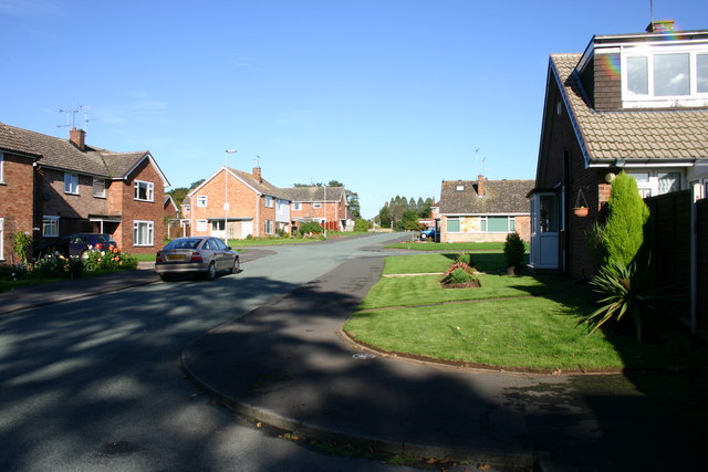
The village of Creswell itself is small and charming, with a population of around 500 people. It is known for its close-knit community and friendly atmosphere. The village features a few amenities such as a local pub, a post office, and a village hall, which serves as a hub for various community activities and events.

The parish is also home to a number of historic buildings and landmarks, including St. Mary's Church. This Grade II listed church dates back to the 12th century and is a prominent feature of the local landscape. The area is also known for its traditional architecture, with several well-preserved cottages and farmhouses dotted throughout the countryside.

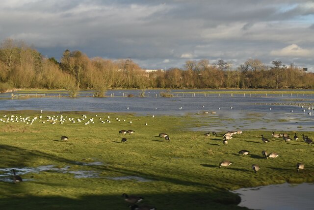
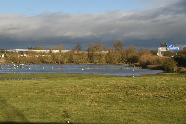
Nature enthusiasts will appreciate the beautiful surroundings of Creswell, as the parish is located near the Peak District National Park. This offers ample opportunities for outdoor activities such as hiking, cycling, and birdwatching. The nearby River Dove is also a popular spot for fishing and boating.

Overall, Creswell is a charming and picturesque civil parish that offers a peaceful and close-knit community, historic landmarks, and access to stunning natural landscapes.

If you have any feedback on the listing, please let us know in the comments section below.
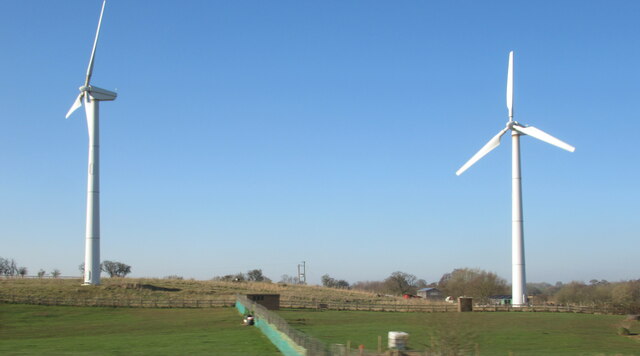
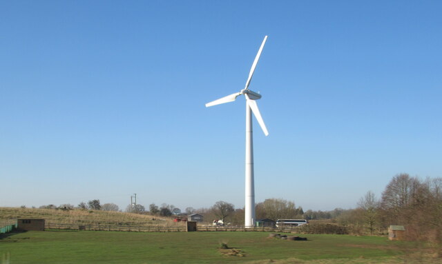
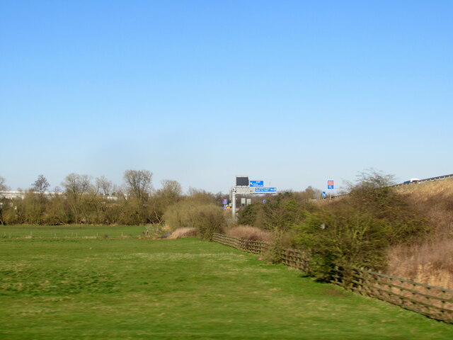
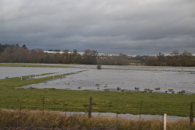
Creswell Images

Images are sourced within 2km of 52.835378/-2.143007 or Grid Reference SJ9026. Thanks to Geograph Open Source API. All images are credited.

Wind turbines near Doxey, Staffordshire
A wind turbine near Doxey, Staffordshire
Railway passing underneath the M6 Motorway south of Junction 14
Localised flooding by River Sow
Creswell Grove heading for Stafford
Wildfowl and localised flooding
Localised flooding
Localised flooding
Gantry, M6 The M6 motorway runs from junction 19 of the M1 at the Catthorpe Interchange, near Rugby to the Gretna junction (J45). Here it becomes the A74(M) and M74 which continues to Glasgow.

The M6 is the longest motorway in the United Kingdom (232 miles) and one of the busiest. It incorporates the first length of motorway opened in the UK (the Preston bypass in 1958) and forms part of a motorway "Backbone of Britain", running north-south between London and Glasgow via the industrial north of England. It is also part of the east-west route between the Midlands and the east coast ports.
Gantry, M6
The M6 motorway runs from junction 19 of the M1 at the Catthorpe Interchange, near Rugby to the Gretna junction (J45). Here it becomes the A74(M) and M74 which continues to Glasgow. The M6 is the longest motorway in the United Kingdom (232 miles) and one of the busiest. It incorporates the first length of motorway opened in the UK (the Preston bypass in 1958) and forms part of a motorway "Backbone of Britain", running north-south between London and Glasgow via the industrial north of England. It is also part of the east-west route between the Midlands and the east coast ports.
Wind turbine
Wind turbine
Cattle grazing on hillside
Wilkes Wood, Stafford This is Wilkes Wood, a housing estate on the very fringes of north Stafford.
Wilkes Wood, Stafford
This is Wilkes Wood, a housing estate on the very fringes of north Stafford.
Farm Track to Wilkes Wood This track leads from the housing estate of Wilkes Wood to the small woodland called Wilkes Wood.  This is private land so I was not able to get to photograph the woodland.
Farm Track to Wilkes Wood
This track leads from the housing estate of Wilkes Wood to the small woodland called Wilkes Wood. This is private land so I was not able to get to photograph the woodland.
Summerhill Lane. Whitgreave Summerhill Lane at Whitgreave near Stafford.  Just beyond the trees on the right is the M6 motorway.
Summerhill Lane. Whitgreave
Summerhill Lane at Whitgreave near Stafford. Just beyond the trees on the right is the M6 motorway.
St Johns Church, Whitgreave St John's Church in Whitgreave near Stafford.  The church doesn't look particularly old to me (I don't know any of its history) but in the graveyard there are some very old gravestones, one I recall dating 1833.
St Johns Church, Whitgreave
St John's Church in Whitgreave near Stafford. The church doesn't look particularly old to me (I don't know any of its history) but in the graveyard there are some very old gravestones, one I recall dating 1833.
Whitgreave near Stafford Looking westwards down the hill into whitgreave, on the right (out of view) is St Johns Church.
Whitgreave near Stafford
Looking westwards down the hill into whitgreave, on the right (out of view) is St Johns Church.
Chapel Ruins Creswell Chapel on the A5013 near Stafford. The story (I was told today) is that this chapel dates back about 1000yrs. A ruin for many years, this C of E chapel had an annual service held here until about 5 years ago.
Chapel Ruins
Creswell Chapel on the A5013 near Stafford. The story (I was told today) is that this chapel dates back about 1000yrs. A ruin for many years, this C of E chapel had an annual service held here until about 5 years ago.
A5013 to Stafford This is the A5013 at Creswell. The trees on the left are the edge of Rowe's Wood, named after a former head gamekeeper.
A5013 to Stafford
This is the A5013 at Creswell. The trees on the left are the edge of Rowe's Wood, named after a former head gamekeeper.
Rowe's Wood, Creswell This field and woodland are at the side of the A5013, Stafford to Eccleshall Road at Creswell. The wood is called Rowe's Wood after a former Head Gamekeeper.
Rowe's Wood, Creswell
This field and woodland are at the side of the A5013, Stafford to Eccleshall Road at Creswell. The wood is called Rowe's Wood after a former Head Gamekeeper.
Show me another place!

Creswell is located at Grid Ref: SJ9026 (Lat: 52.835378, Lng: -2.143007)

Administrative County: Staffordshire

District: Stafford

Police Authority: Staffordshire

What 3 Words

///bookcases.squares.fund. Near Stafford, Staffordshire

Related Wikis

Creswell, Staffordshire

Creswell is a small village on the north-western edge of Stafford, the county town of Staffordshire, England situated on elevated ground above the wide...

Sir Graham Balfour School

Sir Graham Balfour School is a coeducational secondary school and sixth form located in Stafford, England. It is named after Graham Balfour, son of the...

Great Bridgeford

Great Bridgeford is a village in the Borough of Stafford, Staffordshire, England, and a ward of Seighford civil parish. Population details taken at the...

Holmcroft

Holmcroft is the name of a Stafford, Staffordshire, England, residential estate approximately 1½ miles north of Stafford town centre, situated in a geographic...

Related Videos

Choo Choo to Isabel Trail parkrun tourism adventure

I was joined by Ewan rather than Iona this week for our parkrun tourism adventure and we visited Isabel Trail parkrun in Stafford.

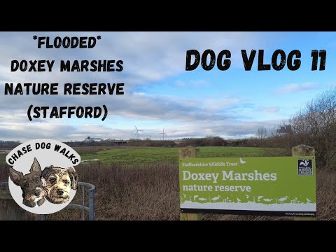
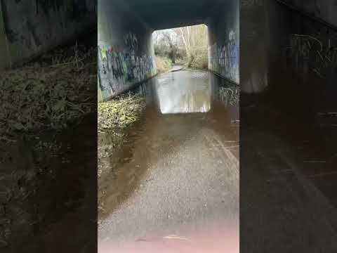
Dog Vlog 11 🐾🐶 - *FLOODED* Doxey Marshes Nature Reserve - Stafford , didn’t quite go to plan !!

Dog Vlog 11 - A Walk at Doxey Marshes Nature Reserve - Stafford *FLOODED* this walk didn't go to plan as the reserve was ...

Nearby Amenities

Located within 500m of 52.835378,-2.143007
Man Made: surveillance
Source: survey
Lat/Long: 52.8343435/-2.1455833
Barrier: lift_gate
Lat/Long: 52.8351334/-2.1367695
Barrier: lift_gate
Lat/Long: 52.8352525/-2.1367005
Barrier: lift_gate
Lat/Long: 52.8357113/-2.1389038
The data included in this document is from www.openstreetmap.org. The data is made available under ODbL.

Have you been to Creswell?

Leave your review of Creswell below (or comments, questions and feedback).