Cretingham
Civil Parish in Suffolk East Suffolk
England
Cretingham
Cretingham is a civil parish located in the county of Suffolk, England. Situated in the eastern region of the country, it lies approximately 13 miles north-east of the county town of Ipswich. The parish covers an area of around 5 square miles and is home to a population of around 300 residents.
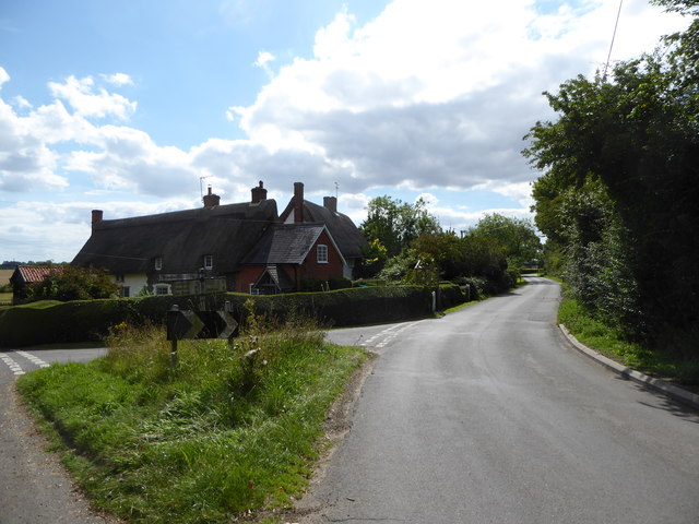
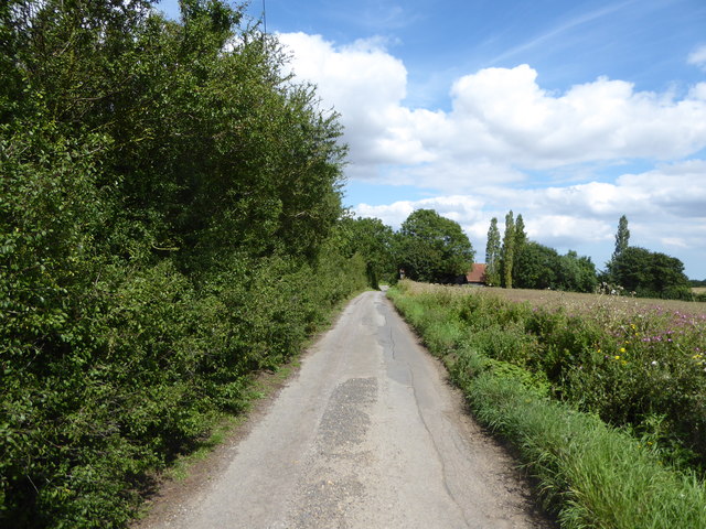
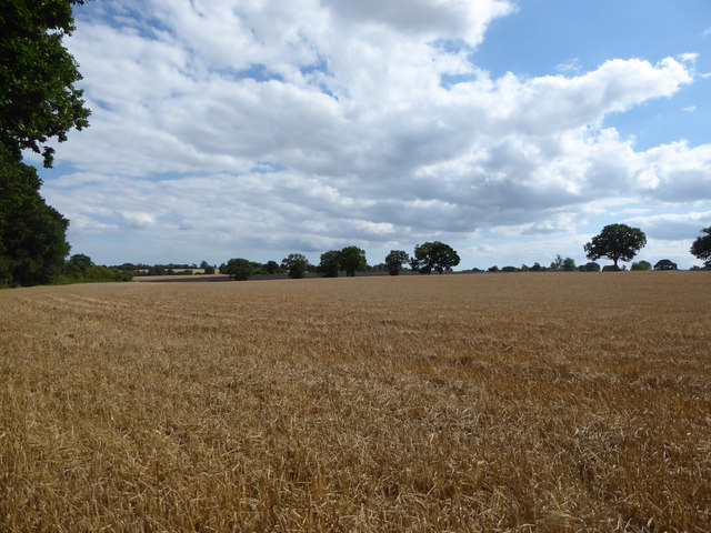
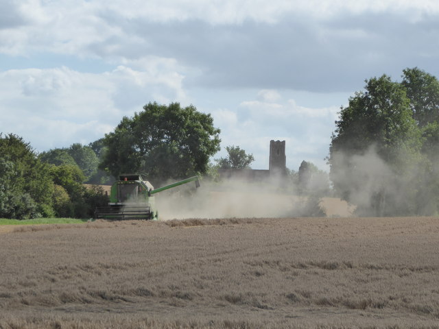
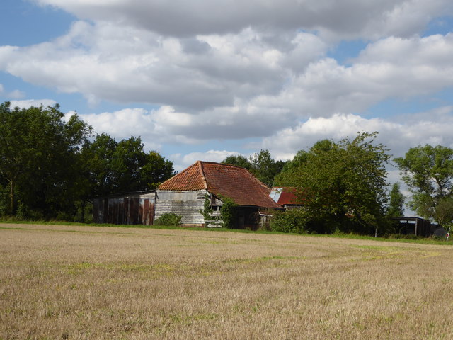
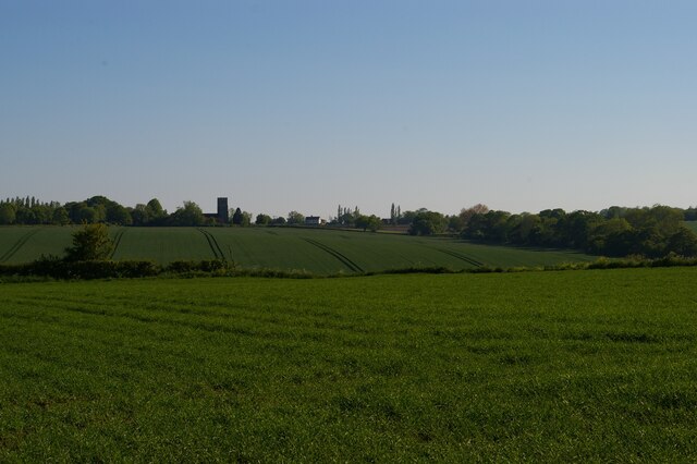
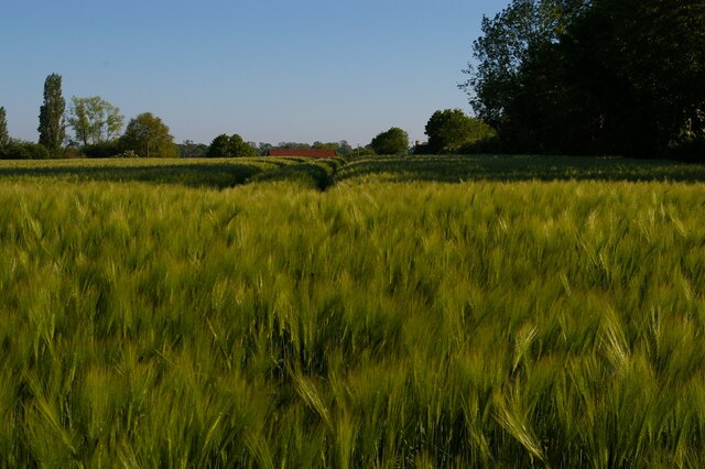
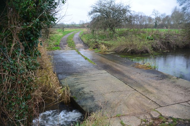
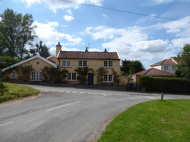
The village of Cretingham is nestled in a rural setting, surrounded by picturesque countryside and farmland. It boasts a charming and tranquil atmosphere, making it an attractive destination for those seeking a peaceful retreat or a taste of traditional English village life.
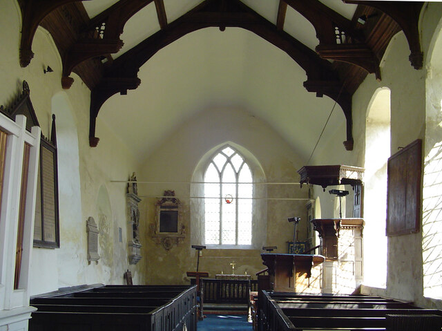
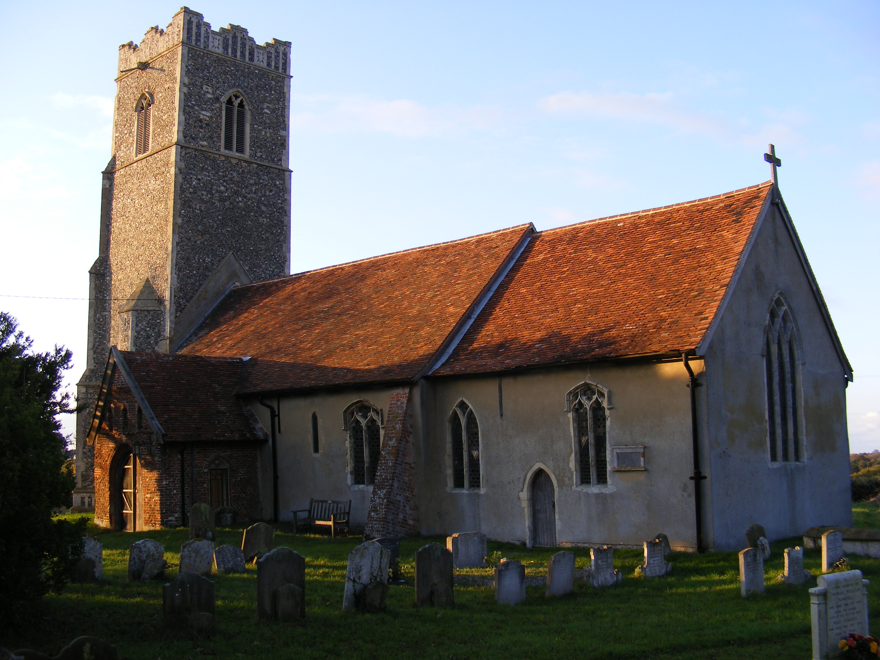
Historically, Cretingham can be traced back to the Domesday Book of 1086, where it was recorded as "Crettinghama." The village has retained much of its historical character, with several listed buildings and structures, including St. Peter's Church, which dates back to the 14th century.
A notable feature of Cretingham is its village pub, The Cretingham Bell, which offers a warm and welcoming atmosphere to locals and visitors alike. The pub serves traditional food and beverages, showcasing the region's culinary delights.
The parish also has a strong sense of community, with various events and activities taking place throughout the year. These include village fairs, summer fetes, and community gatherings, providing opportunities for residents to come together and engage in social activities.
Cretingham's location in the heart of Suffolk allows for easy access to nearby attractions and amenities. With its idyllic setting and rich history, Cretingham offers a peaceful and charming escape for locals and visitors seeking a taste of rural England.
If you have any feedback on the listing, please let us know in the comments section below.
Cretingham Images
Images are sourced within 2km of 52.199286/1.265613 or Grid Reference TM2360. Thanks to Geograph Open Source API. All images are credited.


Cretingham is located at Grid Ref: TM2360 (Lat: 52.199286, Lng: 1.265613)
Administrative County: Suffolk
District: East Suffolk
Police Authority: Suffolk
What 3 Words
///braked.necklaces.reinstate. Near Framlingham, Suffolk
Nearby Locations
Related Wikis

Cretingham
Cretingham is a village and a civil parish in the East Suffolk district, in the English county of Suffolk. It is on the River Deben, 2 miles south off...

East Suffolk (county)
East Suffolk, along with West Suffolk, was created in 1888 as an administrative county of England. The administrative county was based on the eastern quarter...

Brandeston Hall
Brandeston Hall is a grade II* listed house in Old Maids Lane, Brandeston, Suffolk, England.The Hall is the former manor house of Brandeston but is now...

All Saints' Church, Brandeston
The Church of All Saints is a Church of England parish church in Brandeston, Suffolk, England. The church dates from the Middle Age and is a Grade I listed...
Brandeston
Brandeston is a village in Suffolk, England on the River Deben 11 miles (18 km) northeast of Ipswich. Brandeston is west of Kettleburgh and northwest of...
Monewden
Monewden ( MON-ə-dən) is a small village and a civil parish in the hundred of Loss (Also: Loes, Loose), in the East Suffolk District, in the English county...

Earl Soham
Earl Soham is a small settlement in Suffolk, England. It is on the A1120 road and is 4 kilometres (2 mi) west of the town of Framlingham. Earl Soham once...

High House Meadows, Monewden
High House Meadows, Monewden is a three hectare biological Site of Special Scientific Interest west of Monewden in Suffolk.These unimproved meadows have...
Have you been to Cretingham?
Leave your review of Cretingham below (or comments, questions and feedback).