Little Gorse

Wood, Forest in Staffordshire Stafford

England

Little Gorse

A wind turbine near Doxey, Staffordshire
A wind turbine near Doxey, Staffordshire Credit: Roy Hughes

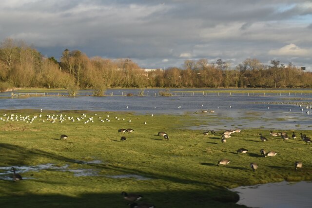
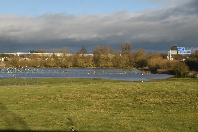
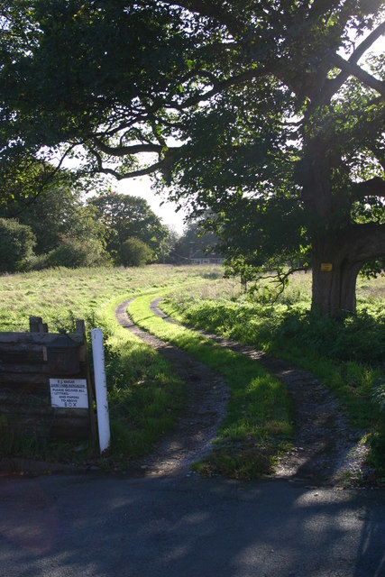
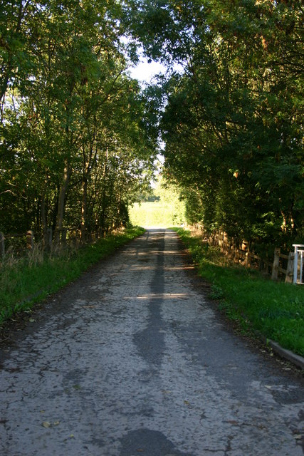
Little Gorse is a small woodland area situated in the county of Staffordshire, England. Covering an approximate area of 50 acres, it is located in close proximity to the village of Wood and is often referred to as Little Gorse Wood or Little Gorse Forest.

The woodland is predominantly composed of a variety of native tree species, including oak, birch, beech, and ash. These trees form a dense canopy that provides shade and shelter for numerous wildlife species. The forest floor is adorned with an array of wildflowers and ferns, creating a picturesque and serene environment.

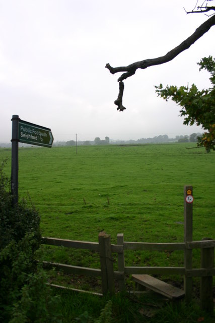
Little Gorse is a popular destination for nature enthusiasts and hikers due to its tranquil atmosphere and scenic beauty. Several well-maintained walking trails meander through the woodland, allowing visitors to explore its diverse flora and fauna. The paths are often carpeted with fallen leaves, providing a delightful crunch underfoot during autumn.

The forest is home to a variety of animal species, including deer, foxes, badgers, and a wide range of bird species. Birdwatchers can spot woodpeckers, owls, and various songbirds throughout the woodland.

The management of Little Gorse focuses on preserving the natural habitat and ensuring the sustainability of the woodland ecosystem. Conservation efforts include periodic tree maintenance to promote healthy growth and prevent overcrowding, as well as the removal of invasive species to protect the native flora and fauna.

Overall, Little Gorse offers a serene escape from urban life, providing visitors with an opportunity to immerse themselves in nature and experience the tranquility of a Staffordshire woodland.

If you have any feedback on the listing, please let us know in the comments section below.
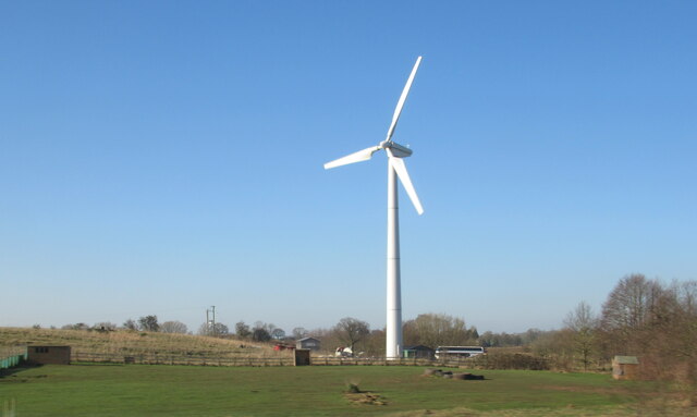
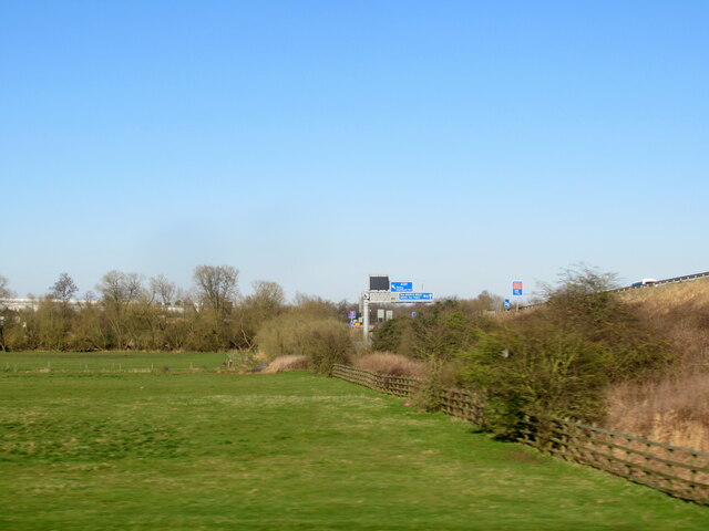
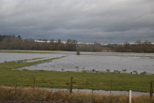
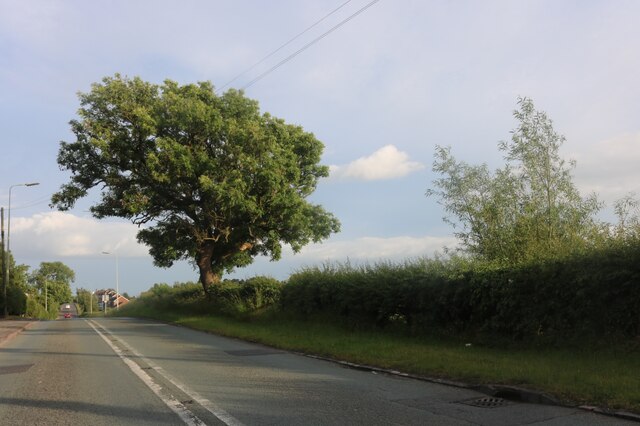
Little Gorse Images

Images are sourced within 2km of 52.837136/-2.1419317 or Grid Reference SJ9026. Thanks to Geograph Open Source API. All images are credited.

A wind turbine near Doxey, Staffordshire
Railway passing underneath the M6 Motorway south of Junction 14
Localised flooding by River Sow
Creswell Grove heading for Stafford
Wildfowl and localised flooding
Localised flooding
Localised flooding
Wilkes Wood, Stafford This is Wilkes Wood, a housing estate on the very fringes of north Stafford.
Wilkes Wood, Stafford
This is Wilkes Wood, a housing estate on the very fringes of north Stafford.
Farm Track to Wilkes Wood This track leads from the housing estate of Wilkes Wood to the small woodland called Wilkes Wood.  This is private land so I was not able to get to photograph the woodland.
Farm Track to Wilkes Wood
This track leads from the housing estate of Wilkes Wood to the small woodland called Wilkes Wood. This is private land so I was not able to get to photograph the woodland.
Summerhill Lane. Whitgreave Summerhill Lane at Whitgreave near Stafford.  Just beyond the trees on the right is the M6 motorway.
Summerhill Lane. Whitgreave
Summerhill Lane at Whitgreave near Stafford. Just beyond the trees on the right is the M6 motorway.
St Johns Church, Whitgreave St John's Church in Whitgreave near Stafford.  The church doesn't look particularly old to me (I don't know any of its history) but in the graveyard there are some very old gravestones, one I recall dating 1833.
St Johns Church, Whitgreave
St John's Church in Whitgreave near Stafford. The church doesn't look particularly old to me (I don't know any of its history) but in the graveyard there are some very old gravestones, one I recall dating 1833.
Whitgreave near Stafford Looking westwards down the hill into whitgreave, on the right (out of view) is St Johns Church.
Whitgreave near Stafford
Looking westwards down the hill into whitgreave, on the right (out of view) is St Johns Church.
Chapel Ruins Creswell Chapel on the A5013 near Stafford. The story (I was told today) is that this chapel dates back about 1000yrs. A ruin for many years, this C of E chapel had an annual service held here until about 5 years ago.
Chapel Ruins
Creswell Chapel on the A5013 near Stafford. The story (I was told today) is that this chapel dates back about 1000yrs. A ruin for many years, this C of E chapel had an annual service held here until about 5 years ago.
A5013 to Stafford This is the A5013 at Creswell. The trees on the left are the edge of Rowe's Wood, named after a former head gamekeeper.
A5013 to Stafford
This is the A5013 at Creswell. The trees on the left are the edge of Rowe's Wood, named after a former head gamekeeper.
Rowe's Wood, Creswell This field and woodland are at the side of the A5013, Stafford to Eccleshall Road at Creswell. The wood is called Rowe's Wood after a former Head Gamekeeper.
Rowe's Wood, Creswell
This field and woodland are at the side of the A5013, Stafford to Eccleshall Road at Creswell. The wood is called Rowe's Wood after a former Head Gamekeeper.
A5013 to Eccleshall This is a view of the A5013 near Creswell looking in the direction of Eccleshall. A treacherous road for cyclists; we are forced to use the narrow footpath (unless very brave!).
A5013 to Eccleshall
This is a view of the A5013 near Creswell looking in the direction of Eccleshall. A treacherous road for cyclists; we are forced to use the narrow footpath (unless very brave!).
Derelict Chapel Creswell Chapel. I was forced to use a 200mm lens for this view because the ruin is on private ground. The view is from a public footpath. More info and another view has been submitted.
Derelict Chapel
Creswell Chapel. I was forced to use a 200mm lens for this view because the ruin is on private ground. The view is from a public footpath. More info and another view has been submitted.
Public footpath to Seighford There is a sign next to this stile (on the tree to the right) saying 'trespassers will be prosecuted'. This stile is on the A5013 and the path goes across the River sow to Seighford.
Public footpath to Seighford
There is a sign next to this stile (on the tree to the right) saying 'trespassers will be prosecuted'. This stile is on the A5013 and the path goes across the River sow to Seighford.
Fields and Cattle next to a bridleway Fields and cattle next to the bridleway from Seighford.
Fields and Cattle next to a bridleway
Fields and cattle next to the bridleway from Seighford.
Show me another place!

Little Gorse is located at Grid Ref: SJ9026 (Lat: 52.837136, Lng: -2.1419317)

Administrative County: Staffordshire

District: Stafford

Police Authority: Staffordshire

What 3 Words

///income.skewing.damp. Near Stafford, Staffordshire

Related Wikis

Creswell, Staffordshire

Creswell is a small village on the north-western edge of Stafford, the county town of Staffordshire, England situated on elevated ground above the wide...

Sir Graham Balfour School

Sir Graham Balfour School is a coeducational secondary school and sixth form located in Stafford, England. It is named after Graham Balfour, son of the...

Whitgreave

Whitgreave is a very small village a few miles to the NNW of Stafford situated midway between the M6 motorway to the west and the A34 trunk road to the...

Great Bridgeford

Great Bridgeford is a village in the Borough of Stafford, Staffordshire, England, and a ward of Seighford civil parish. Population details taken at the...

Holmcroft

Holmcroft is the name of a Stafford, Staffordshire, England, residential estate approximately 1½ miles north of Stafford town centre, situated in a geographic...

Tillington, Staffordshire

Tillington is an area of Stafford, in Staffordshire, England. The area lies about 1½ miles north of the town centre. Essentially, the district lies within...

Marston, Milwich

Marston is a village and civil parish 12 miles (19 km) south of Stoke-on-Trent, in the Stafford district, in the county of Staffordshire, England. In 2011...

Great Bridgeford railway station

Great Bridgeford railway station served the village of Great Bridgeford, Staffordshire, England from 1837 to 1959 on the Stafford-Manchester line. ��2...

Nearby Amenities

Located within 500m of 52.837136,-2.1419317
Man Made: surveillance
Source: survey
Lat/Long: 52.8343435/-2.1455833
Traffic Signals
Crossing: no
Traffic Signals Direction: forward
Lat/Long: 52.8369615/-2.1348235
Traffic Signals
Crossing: no
Traffic Signals Direction: forward
Lat/Long: 52.8366868/-2.1345473
Crossing
Crossing: traffic_signals
Lat/Long: 52.8367126/-2.1345545
Barrier: lift_gate
Lat/Long: 52.8351334/-2.1367695
Barrier: lift_gate
Lat/Long: 52.8352525/-2.1367005
Power: pole
Lat/Long: 52.839698/-2.13616
Barrier: lift_gate
Lat/Long: 52.8357113/-2.1389038
The data included in this document is from www.openstreetmap.org. The data is made available under ODbL.

Have you been to Little Gorse?

Leave your review of Little Gorse below (or comments, questions and feedback).