Cranford
Civil Parish in Northamptonshire
England
Cranford
Cranford is a civil parish located in the county of Northamptonshire, England. Situated in the East Midlands region, it lies approximately 10 miles northeast of the town of Kettering and 18 miles northwest of the city of Northampton. The parish covers an area of around 6.5 square miles and is home to a population of approximately 500 residents.
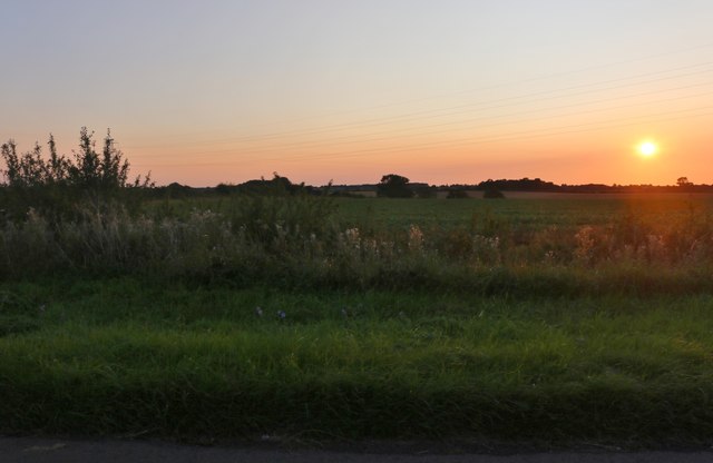
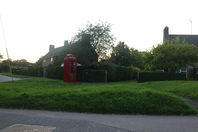
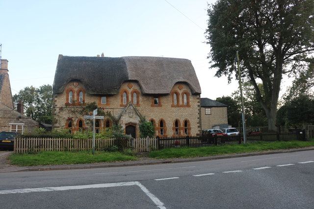
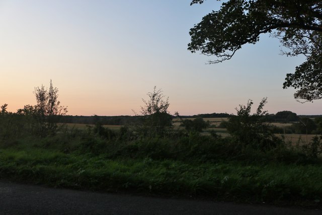
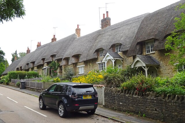
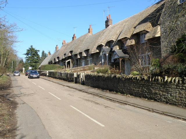
Cranford is a picturesque village surrounded by rolling countryside and farmland. It has a rich historical heritage, with evidence of human settlement dating back to the Roman period. The village is characterized by its traditional stone-built houses and buildings, giving it a charming and timeless feel.
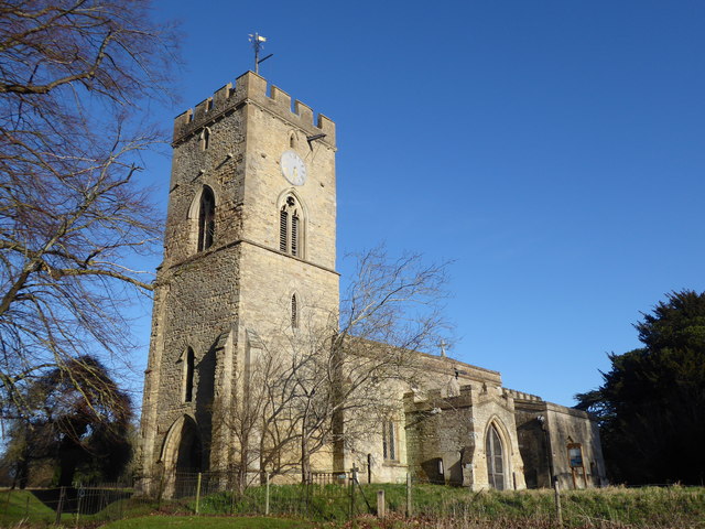
The heart of the village is centered around St. Andrew's Church, a beautiful medieval structure that dates back to the 13th century. The church is a focal point for the community and holds regular services and events throughout the year.
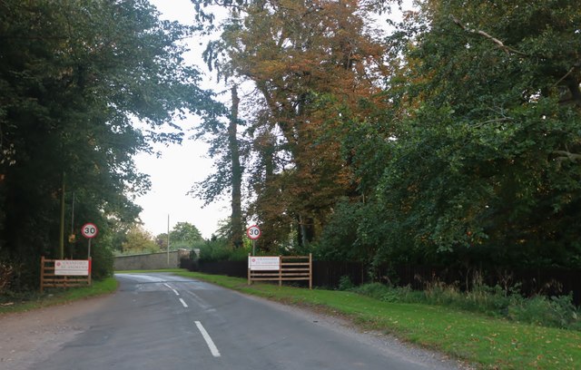
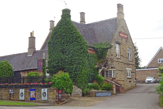
Despite its small size, Cranford boasts a thriving local community with various amenities and services. These include a village hall, a primary school, a pub, and a post office. The village also benefits from excellent transport links, with easy access to major roads and nearby railway stations.
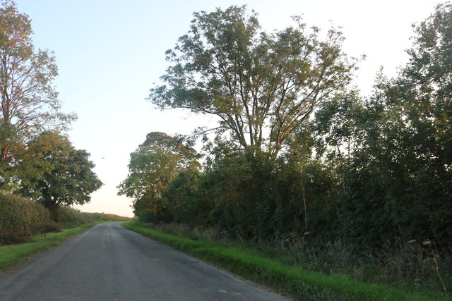
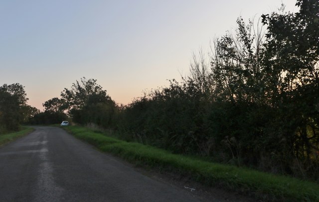
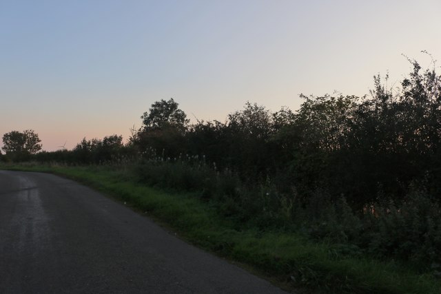
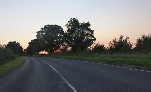
Cranford is surrounded by stunning countryside, making it an ideal location for outdoor activities such as walking, cycling, and horse riding. The nearby River Ise offers opportunities for fishing and boating enthusiasts.
Overall, Cranford is a charming and idyllic village that combines a rich history with a strong sense of community and a beautiful natural environment.
If you have any feedback on the listing, please let us know in the comments section below.
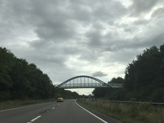
Cranford Images
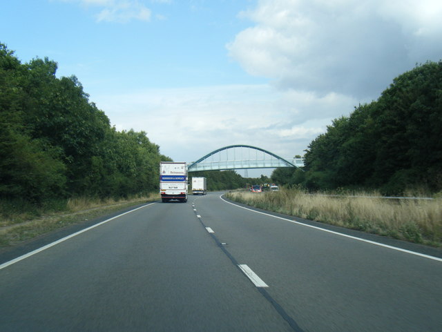
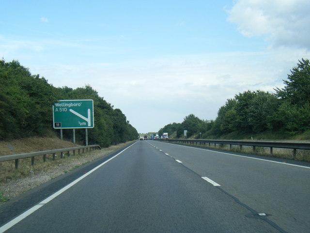
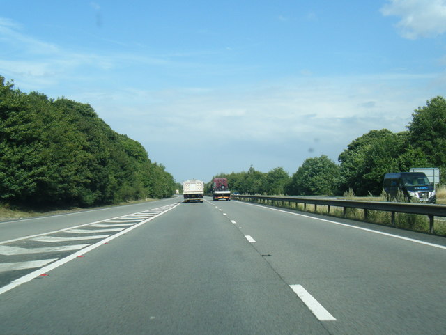
Images are sourced within 2km of 52.388404/-0.645657 or Grid Reference SP9277. Thanks to Geograph Open Source API. All images are credited.
Cranford is located at Grid Ref: SP9277 (Lat: 52.388404, Lng: -0.645657)
Unitary Authority: North Northamptonshire
Police Authority: Northamptonshire
What 3 Words
///sharpness.colleague.rainwater. Near Burton Latimer, Northamptonshire
Nearby Locations
Related Wikis
Cranford St Andrew
Cranford St Andrew is a village and former civil parish, now in the parish of Cranford, in the North Northamptonshire district, in the ceremonial county...
Cranford, Northamptonshire
Cranford is a civil parish in the North Northamptonshire district, in the ceremonial county of Northamptonshire, England. The two settlements in the parish...

St Andrew's Church, Cranford
St Andrew's Church is a redundant Anglican church in Cranford St Andrew, Northamptonshire, England. It is recorded in the National Heritage List for England...

Cranford St John
Cranford St John is a village and former civil parish, now in the parish of Cranford, in the North Northamptonshire district, in the ceremonial county...
Related Videos

Walking Kettering to Cranfords Ironstone & Railway History
I walk from Kettering Railway station to Cranford using the Dismantled railway to get there as I wanted to revisit Cranford with my ...

Emilias walking vlog.
A spring walk from the Twywell Hills and Dales to Cranford and back.

Walking Cranfords Huge Quarry Face
This is Cranford Ironstone quarry. So much ironstone was mined from Northamptonshire many scars in the land can still be seen.

Road Travel City #scenicnature #familyvitanata #shortsvideo #short
Welcome friends to our channel: Scenic Nature. #scenicnature #familyvitanata Please subscribe to the Scenic Nature.
Nearby Amenities
Located within 500m of 52.388404,-0.645657Have you been to Cranford?
Leave your review of Cranford below (or comments, questions and feedback).