Cranfield

Civil Parish in Bedfordshire

England

Cranfield

Crawley Road, Cranfield The road passes the end of the Cranfield airfield runway. The sign, on the wrong side of the road, has been reversed by wind or some other agency, as the runway centreline is behind the camera.
Crawley Road, Cranfield Credit: Robin Webster

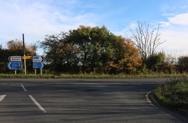
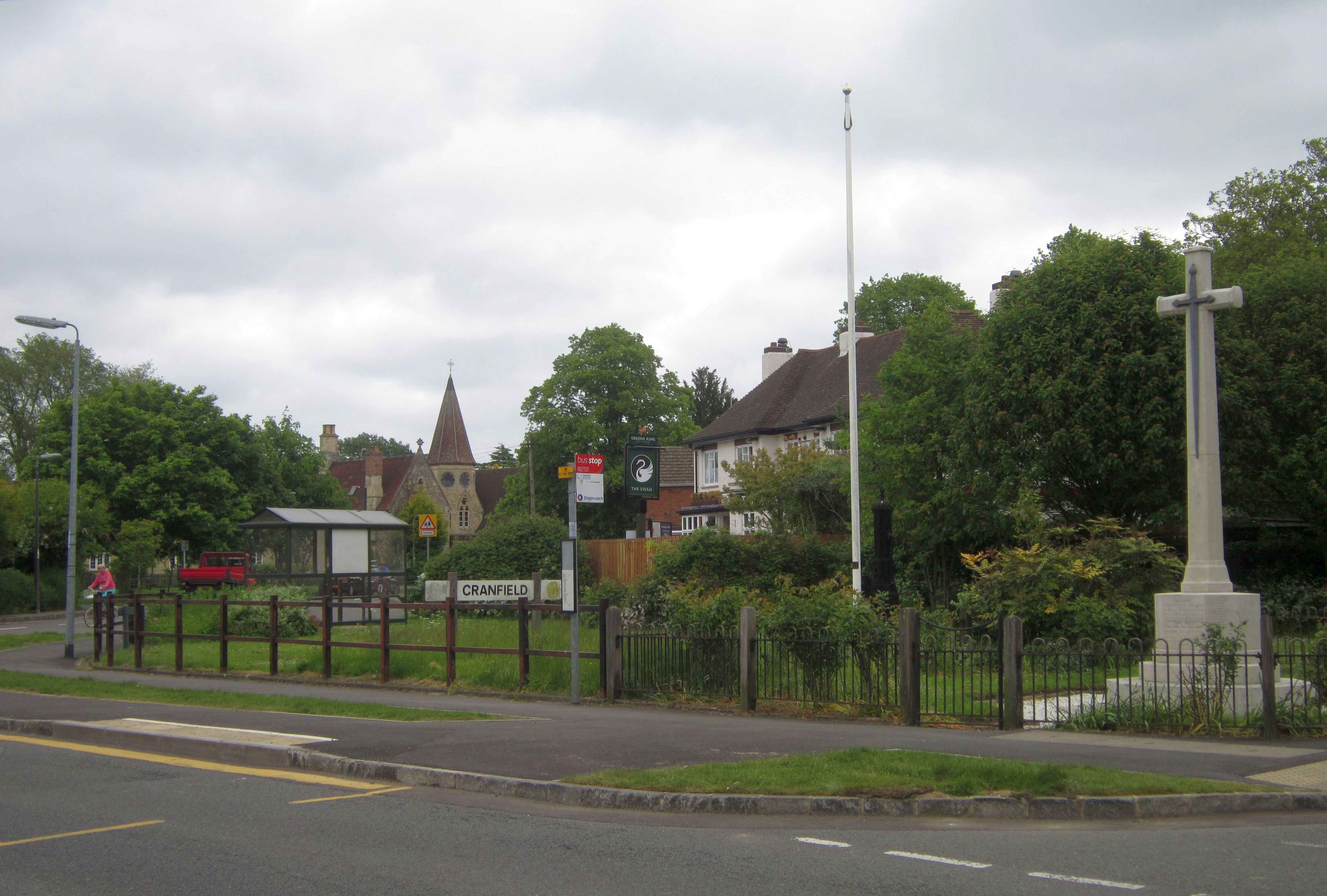
Cranfield is a civil parish located in the county of Bedfordshire, England. Situated approximately 8 miles east of Milton Keynes and 15 miles north-west of Bedford, it covers an area of around 2,700 acres. The parish is made up of several small villages and hamlets, including Cranfield village, Bourne End, and Wharley End.

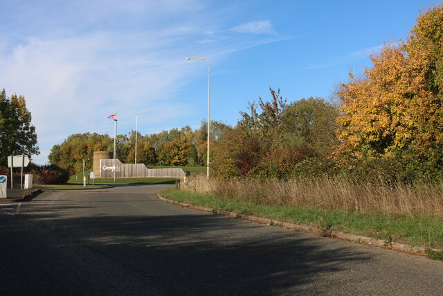
Cranfield is primarily known for its close proximity to Cranfield University, a prestigious postgraduate institution specializing in technology and management. The university has a significant impact on the local economy, attracting students and academics from all over the world.

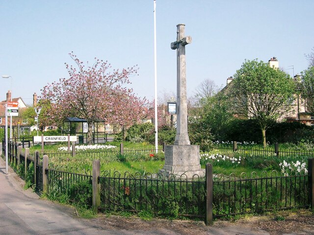
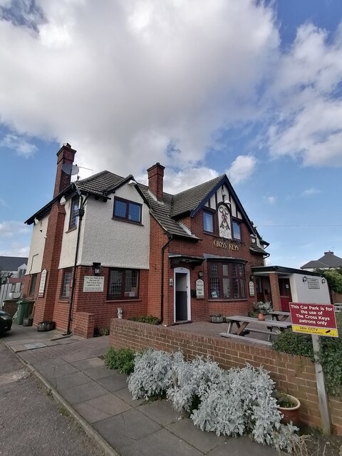
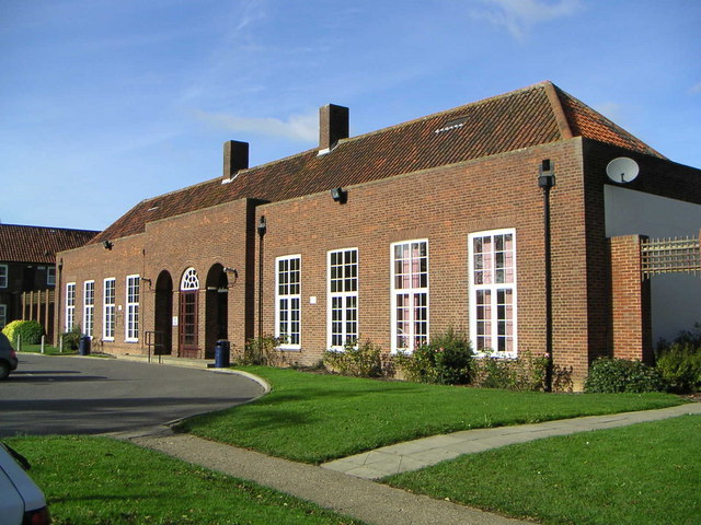
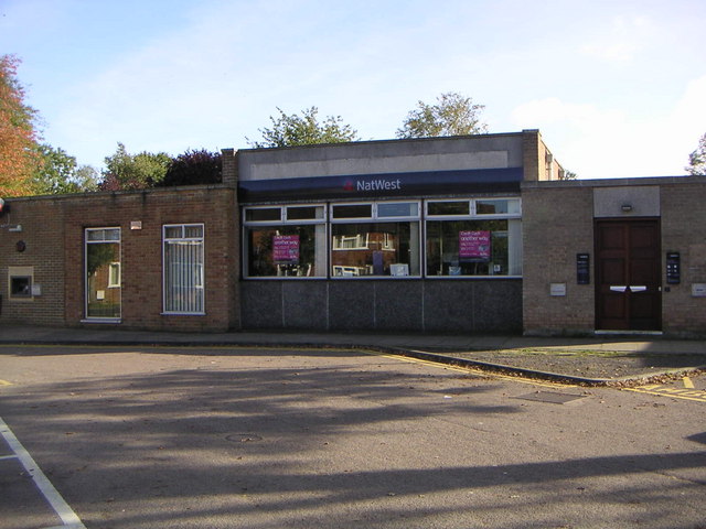
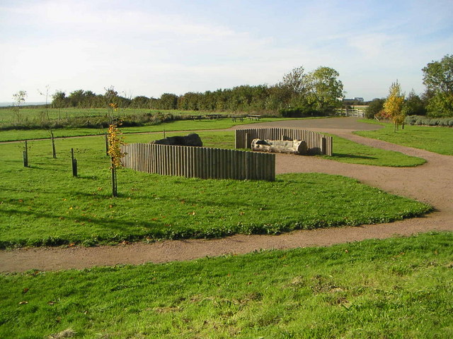
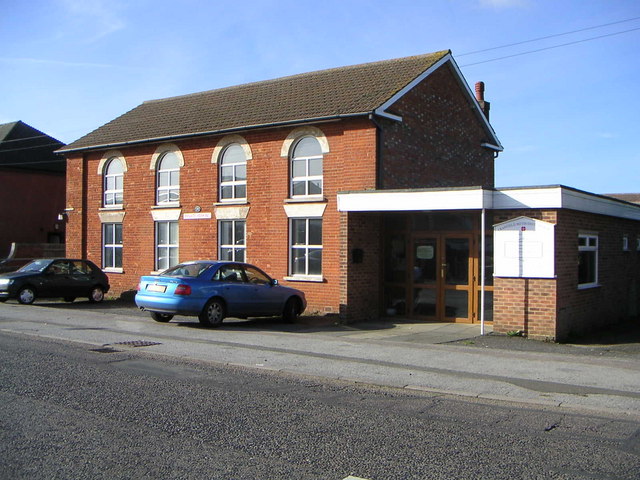
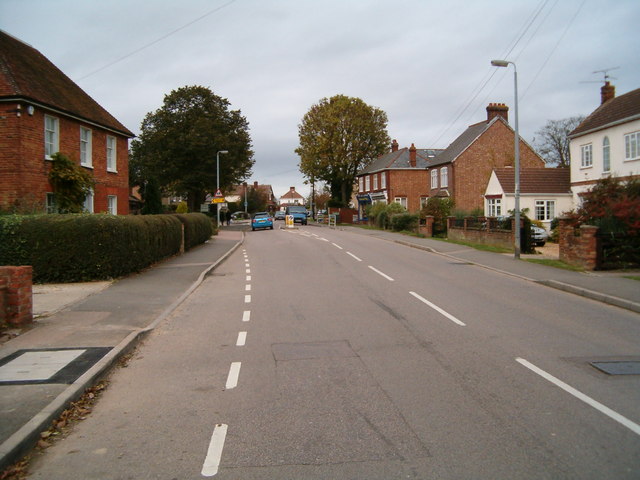
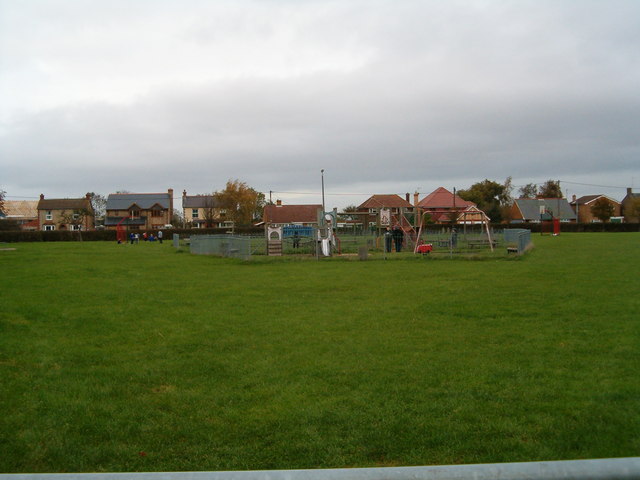
The village itself is characterized by a mix of modern and traditional architecture, with historic buildings such as the 14th-century Holy Cross Church standing alongside newer developments. Cranfield has a small but vibrant community, with a range of amenities including shops, pubs, and restaurants. The village also boasts several parks and open spaces, providing residents with opportunities for outdoor leisure activities.

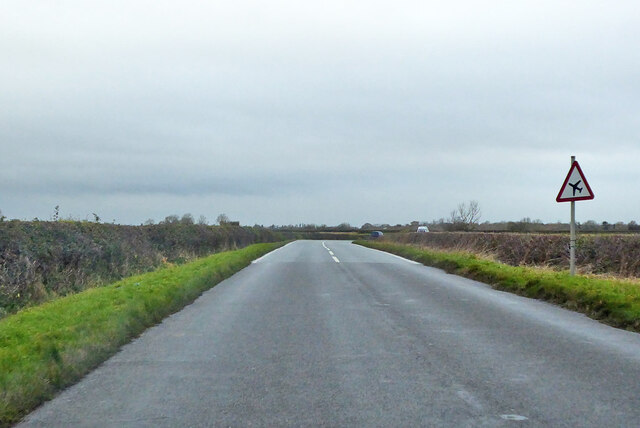
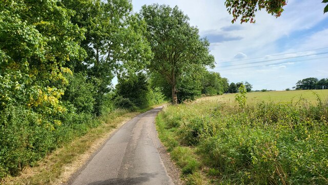
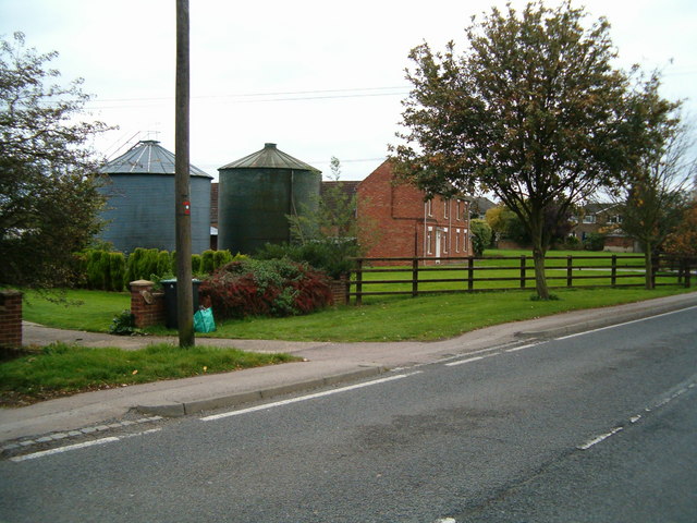
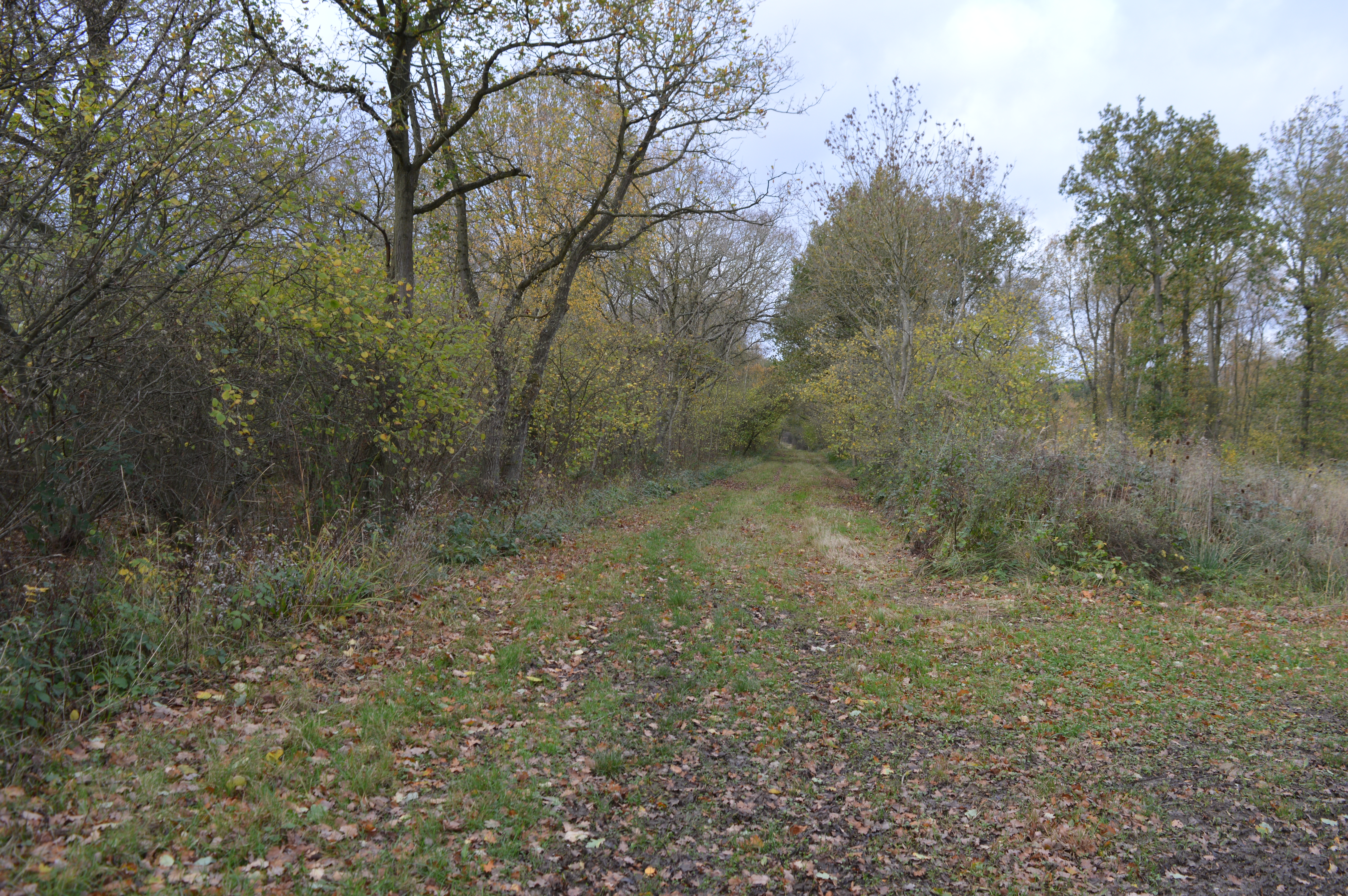
The surrounding countryside is predominantly agricultural, with farmland and open fields stretching for miles. This makes Cranfield an attractive location for those seeking a peaceful and rural lifestyle, while still having access to nearby towns and cities.

Transport links in Cranfield are relatively good, with the M1 motorway just a few miles away, offering easy access to London and the North. The village is also served by regular bus services, connecting it to neighboring towns and villages.

Overall, Cranfield offers a unique blend of rural charm and academic excellence, making it an attractive place to live and study.

If you have any feedback on the listing, please let us know in the comments section below.

Cranfield Images

Images are sourced within 2km of 52.07487/-0.610647 or Grid Reference SP9542. Thanks to Geograph Open Source API. All images are credited.

Crawley Road, Cranfield The road passes the end of the Cranfield airfield runway. The sign, on the wrong side of the road, has been reversed by wind or some other agency, as the runway centreline is behind the camera.
Crawley Road, Cranfield
The road passes the end of the Cranfield airfield runway. The sign, on the wrong side of the road, has been reversed by wind or some other agency, as the runway centreline is behind the camera.
Crawley Road towards North Crawley
Crawley Road towards North Crawley From Cranfield.
Crawley Road towards North Crawley
From Cranfield.
War Memorial, Cranfield Situated on the corner of the High Street and Church Walk.
War Memorial, Cranfield
Situated on the corner of the High Street and Church Walk.
The Cross Keys public house Cranfield
Wood End road Dead end road which is part of the John Bunyan Trail.
Wood End road
Dead end road which is part of the John Bunyan Trail.
Junction on Cranfield Road On the southern edge of the airport.
Junction on Cranfield Road
On the southern edge of the airport.
Roundabout at the entrance to Cranfield University
Lanchester Hall, Cranfield University A reception building on the Cranfield University campus for the student accommodation.
Lanchester Hall, Cranfield University
A reception building on the Cranfield University campus for the student accommodation.
Natwest Bank, Cranfield University A Natwest Bank branch located on the Cranfield University campus.
Natwest Bank, Cranfield University
A Natwest Bank branch located on the Cranfield University campus.
Cranfield Millennium Park A small reclaimed site that was previously used as an industrial depot was turned into a park to help increase the visual aspect of the area as this is the main entrance for people coming into the village.
Cranfield Millennium Park
A small reclaimed site that was previously used as an industrial depot was turned into a park to help increase the visual aspect of the area as this is the main entrance for people coming into the village.
Cranfield Methodist Church Meeting Hall & Methodist Church located in Cranfield along the main road.
Cranfield Methodist Church
Meeting Hall & Methodist Church located in Cranfield along the main road.
Cranfield The main road running through Cranfield village.
Cranfield
The main road running through Cranfield village.
East End, Cranfield Where rural life and village life meet.  A couple of silos in the middle of a row of houses.
East End, Cranfield
Where rural life and village life meet. A couple of silos in the middle of a row of houses.
Broad Green, Cranfield A children's play area in the middle of the village green.
Broad Green, Cranfield
A children's play area in the middle of the village green.
Cranfield United Sportsground on the edge of Cranfield village.
Cranfield United
Sportsground on the edge of Cranfield village.
Round the back Looking across at the back of the high street in Cranfield from Lodge Lane.
Round the back
Looking across at the back of the high street in Cranfield from Lodge Lane.
Cranfield Church The parish church, Cranfield.
Cranfield Church
The parish church, Cranfield.
Show me another place!

Cranfield is located at Grid Ref: SP9542 (Lat: 52.07487, Lng: -0.610647)

Unitary Authority: Central Bedfordshire

Police Authority: Bedfordshire

What 3 Words

///agreeing.thighs.strumming. Near Cranfield, Bedfordshire

Nearby Locations

Cranfield Cranfield

Related Wikis

Cranfield Airport

Cranfield Airport (ICAO: EGTC) is an airfield just outside the village of Cranfield, in Bedfordshire, England. It is 7 NM (13 km; 8.1 mi) south-west of...

Cranfield

Cranfield is a village and civil parish in the west of Bedfordshire, England, situated between Bedford and Milton Keynes. It had a population of 4,909...

Cranfield United F.C.

Cranfield United Football Club is a football club based in Cranfield, near Bedford, Bedfordshire, England. The club is affiliated to the Bedfordshire County...

Church of St Peter & St Paul, Cranfield

Church of St Peter & St Paul is a Grade I listed church in Cranfield, Bedfordshire, England. It became a listed building on 23 January 1961. == See... ==

Cranfield University

Cranfield University is a British postgraduate-only public research university specialising in science, engineering, design, technology and management...

Cranfield School of Management

Cranfield School of Management, established in 1967, is a business school that is part of Cranfield University in Bedfordshire, United Kingdom. Cranfield...

Cranfield Court

Cranfield Court was a country house in Cranfield, Bedfordshire, England. It belonged to the Harter family. The last house at the site was Elizabethan,...

Marston Thrift

Marston Thrift is a 37.4-hectare (92-acre) biological Site of Special Scientific Interest between Marston Moretaine and Cranfield in Bedfordshire. It was...

Nearby Amenities

Located within 500m of 52.07487,-0.610647
Aeroway: holding_position
Holding Position Type: runway
Lat/Long: 52.0787628/-0.6121425
Turning Circle
Turning Circle: hammer
Lat/Long: 52.0706497/-0.608149
Turning Circle
Turning Circle: knuckle
Lat/Long: 52.0709962/-0.6088152
Aeroway: holding_position
Holding Position Type: runway
Lat/Long: 52.0764992/-0.6139933
Cranfield VOR
Airmark: beacon
Beacon Code: CFD
Beacon Type: VOR
Frequency: 116.50 MHz
Lat/Long: 52.0742122/-0.6108391
Crossing
Crossing: uncontrolled
Crossing Island: no
Crossing Ref: zebra
Source: bing
Tactile Paving: yes
Lat/Long: 52.0716112/-0.60599
Aeroway: windsock
Source: Bing
Lat/Long: 52.0776628/-0.6140687
Barrier: kissing_gate
Lat/Long: 52.0761819/-0.6174072
Aeroway: holding_position
Holding Position Type: runway
Lat/Long: 52.0742726/-0.6163599
Turning Circle
Turning Circle: knuckle
Lat/Long: 52.0722986/-0.6077599
Turning Circle
Turning Circle: knuckle
Lat/Long: 52.0735186/-0.6069553
Direction: 140
Generator Method: photovoltaic
Generator Output Electricity: yes
Generator Solar Modules: 14
Generator Source: solar
Generator Type: solar_photovoltaic_panel
Location: roof
Power: generator
Lat/Long: 52.0706964/-0.6090524
Direction: 140
Generator Method: photovoltaic
Generator Output Electricity: yes
Generator Solar Modules: 12
Generator Source: solar
Generator Type: solar_photovoltaic_panel
Location: roof
Power: generator
Lat/Long: 52.0710003/-0.609087
Direction: 120
Generator Method: photovoltaic
Generator Output Electricity: yes
Generator Solar Modules: 14
Generator Source: solar
Generator Type: solar_photovoltaic_panel
Location: roof
Power: generator
Lat/Long: 52.071791/-0.6085904
Direction: 35
Generator Method: photovoltaic
Generator Output Electricity: yes
Generator Solar Modules: 8
Generator Source: solar
Generator Type: solar_photovoltaic_panel
Location: roof
Power: generator
Lat/Long: 52.0723275/-0.6086838
Direction: 300
Generator Method: photovoltaic
Generator Output Electricity: yes
Generator Solar Modules: 14
Generator Source: solar
Generator Type: solar_photovoltaic_panel
Location: roof
Power: generator
Lat/Long: 52.0723153/-0.6087507
Direction: 145
Generator Method: photovoltaic
Generator Output Electricity: yes
Generator Solar Modules: 12
Generator Source: solar
Generator Type: solar_photovoltaic_panel
Location: roof
Power: generator
Lat/Long: 52.0711443/-0.6081039
Direction: 130
Generator Method: photovoltaic
Generator Output Electricity: yes
Generator Solar Modules: 6
Generator Source: solar
Generator Type: solar_photovoltaic_panel
Location: roof
Power: generator
Lat/Long: 52.071113/-0.6077222
Direction: 145
Generator Method: photovoltaic
Generator Output Electricity: yes
Generator Solar Modules: 15
Generator Source: solar
Generator Type: solar_photovoltaic_panel
Location: roof
Power: generator
Lat/Long: 52.0706269/-0.6085394
Fixme: solar panel?
Lat/Long: 52.0714747/-0.6059197
Aeroway: holding_position
Holding Position Type: ILS
Lat/Long: 52.0748087/-0.6173291
Aeroway: navigationaid
Navigationaid: papi
Lat/Long: 52.0756808/-0.6122673
Airmark: beacon
Beacon Type: ILS
Glideslope: yes
Lat/Long: 52.0755769/-0.6111004
The data included in this document is from www.openstreetmap.org. The data is made available under ODbL.

Have you been to Cranfield?

Leave your review of Cranfield below (or comments, questions and feedback).