Cranford St John
Settlement in Northamptonshire
England
Cranford St John

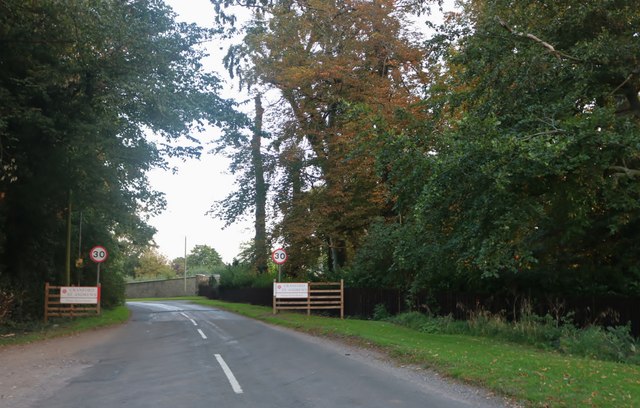
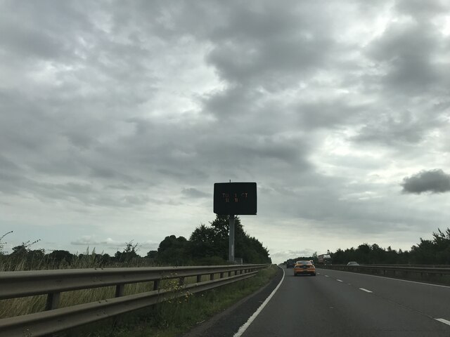
Cranford St John is a small village located in the county of Northamptonshire, England. Situated approximately six miles east of Kettering, the village is nestled in the picturesque countryside of the East Midlands region. With a population of around 200 inhabitants, Cranford St John exudes a quaint and peaceful charm.
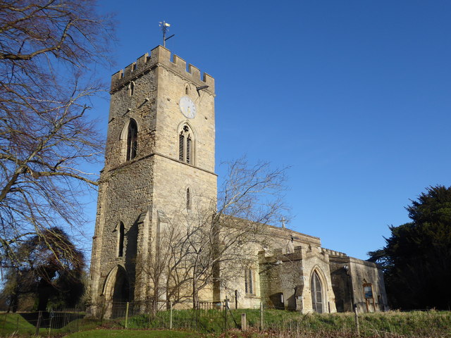
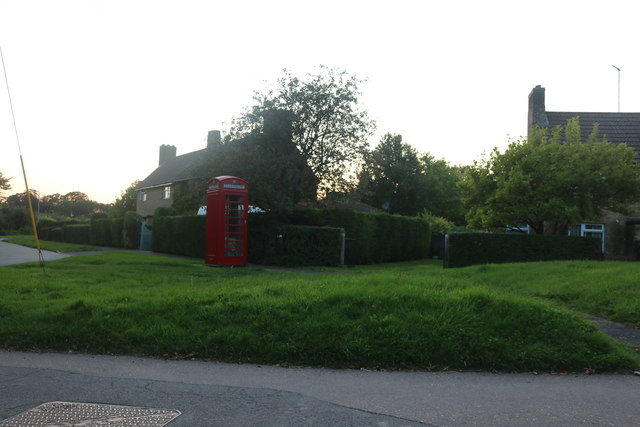
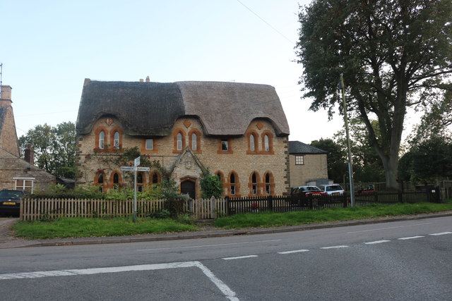
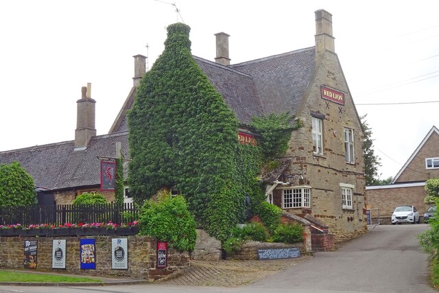
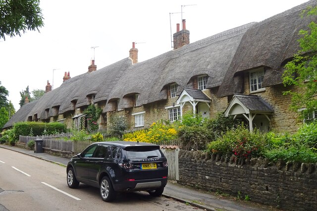
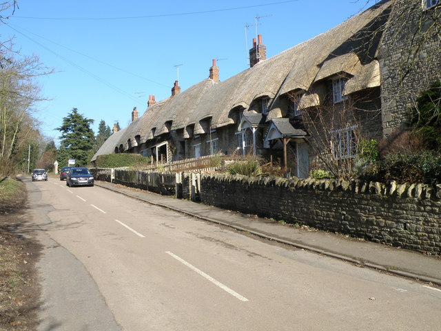
The village is characterized by its traditional stone cottages, which lend a sense of historical authenticity to the area. The focal point of the village is the Church of St John the Baptist, a beautiful medieval building dating back to the 13th century. Its stunning architectural features and serene surroundings make it a popular destination for visitors and locals alike.
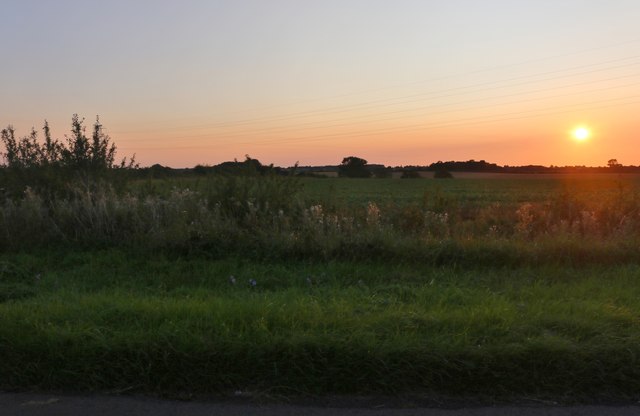
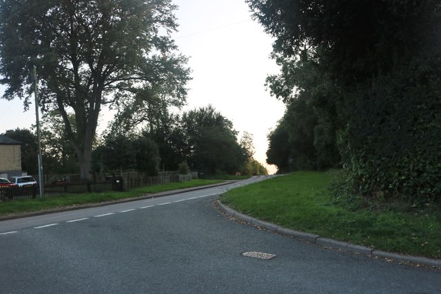
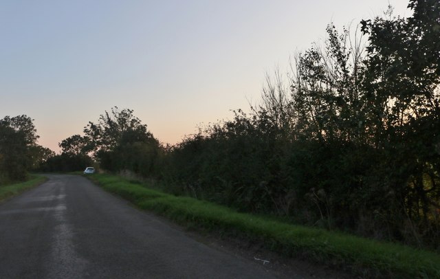
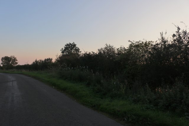
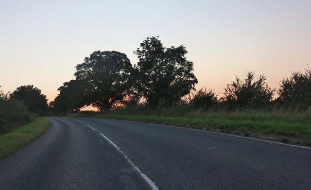
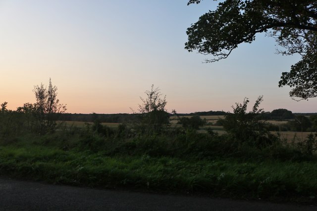
Cranford St John is surrounded by lush green fields and meadows, offering ample opportunities for countryside walks and outdoor activities. The nearby Cranford Hall, a Grade II listed country house, adds to the village's allure with its grandeur and historical significance.
Although small in size, the village has a strong sense of community, with several social events and gatherings taking place throughout the year. The Cranford St John Village Hall plays a central role in hosting these events, fostering a sense of togetherness among its residents.
In terms of amenities, Cranford St John has a limited range of facilities. However, nearby towns such as Kettering and Corby offer a wider array of services, including schools, shops, and healthcare facilities.
Overall, Cranford St John offers a peaceful and idyllic setting for those seeking a tranquil rural lifestyle in the heart of the Northamptonshire countryside.
If you have any feedback on the listing, please let us know in the comments section below.
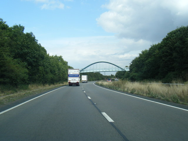
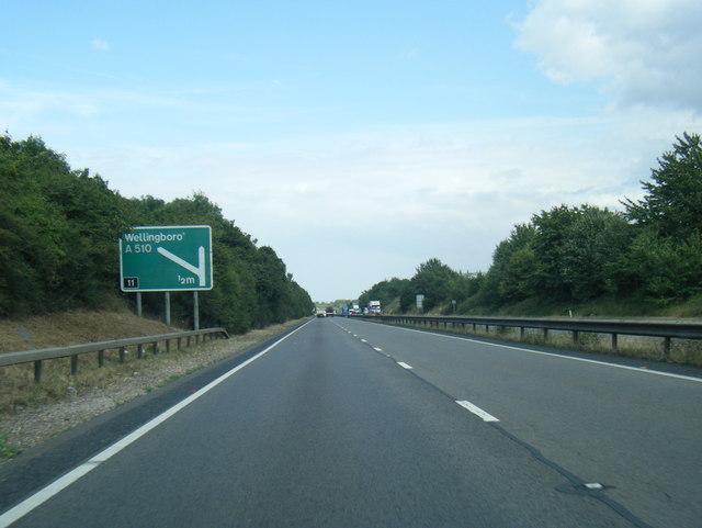
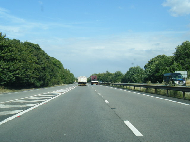
Cranford St John Images
Images are sourced within 2km of 52.383703/-0.638719 or Grid Reference SP9277. Thanks to Geograph Open Source API. All images are credited.
Cranford St John is located at Grid Ref: SP9277 (Lat: 52.383703, Lng: -0.638719)
Unitary Authority: North Northamptonshire
Police Authority: Northamptonshire
What 3 Words
///logo.bleaching.folders. Near Burton Latimer, Northamptonshire
Nearby Locations
Related Wikis

Cranford St John
Cranford St John is a village and former civil parish, now in the parish of Cranford, in the North Northamptonshire district, in the ceremonial county...

Cranford railway station
Cranford railway station served the civil parish of Cranford, Northamptonshire, England, from 1866 to 1961 on the Kettering, Thrapston and Huntingdon Railway...

St Andrew's Church, Cranford
St Andrew's Church is a redundant Anglican church in Cranford St Andrew, Northamptonshire, England. It is recorded in the National Heritage List for England...
Cranford, Northamptonshire
Cranford is a civil parish in the North Northamptonshire district, in the ceremonial county of Northamptonshire, England. The two settlements in the parish...
Cranford St Andrew
Cranford St Andrew is a village and former civil parish, now in the parish of Cranford, in the North Northamptonshire district, in the ceremonial county...

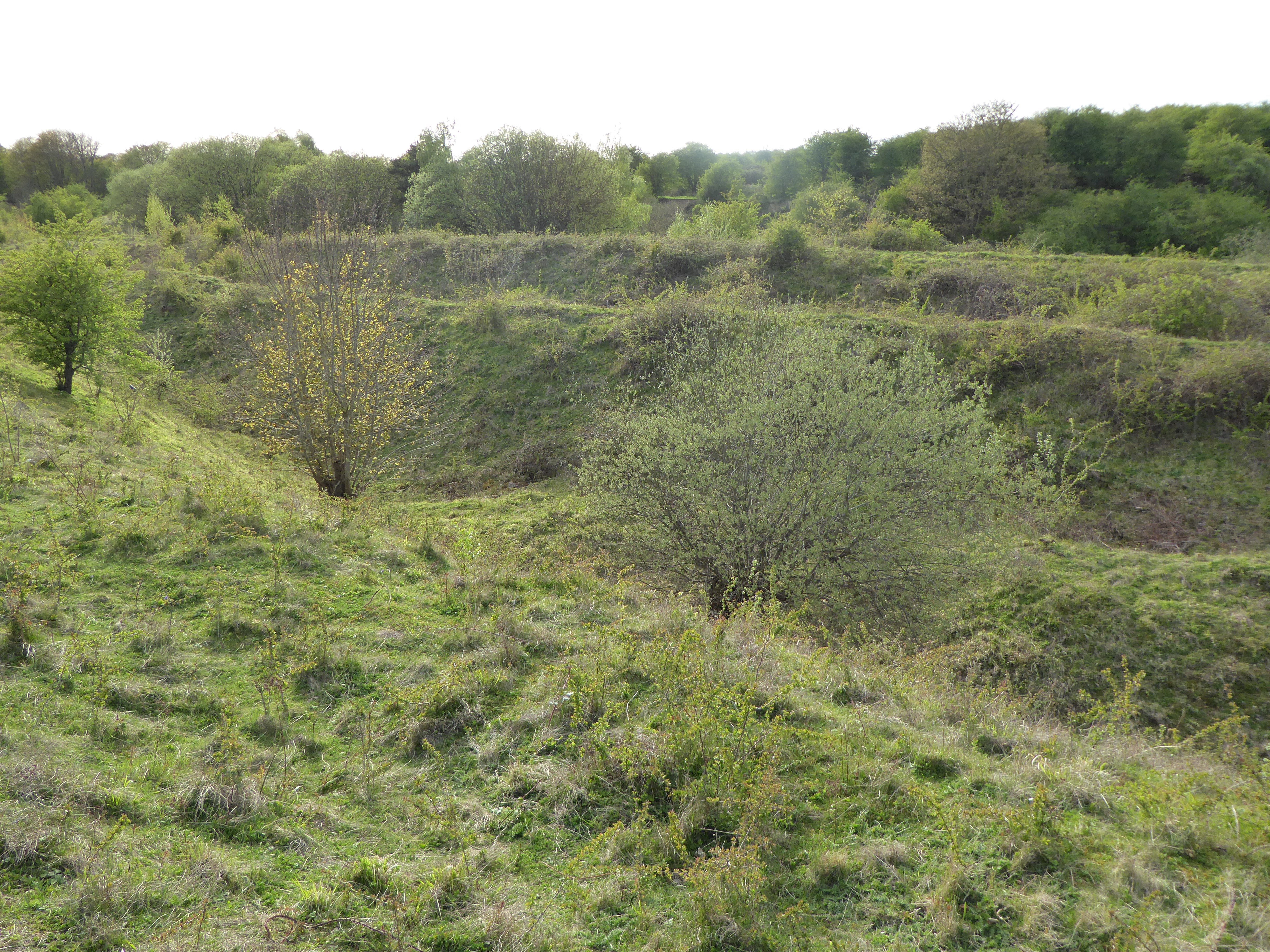
Cranford St John SSSI
Cranford St John SSSI is a 2.8-hectare (6.9-acre) geological Site of Special Scientific Interest in Cranford St John, east of Kettering in Northamptonshire...
Twywell Gullet
Twywell Gullet is a 17.1-hectare (42-acre) biological Site of Special Scientific Interest east of Kettering in Northamptonshire. It is part of the 54.6...

Woodwell
Woodwell is a hamlet in the English county of Northamptonshire, about a mile west of the village of Woodford. It is at the end of a cul-de-sac lane....
Nearby Amenities
Located within 500m of 52.383703,-0.638719Have you been to Cranford St John?
Leave your review of Cranford St John below (or comments, questions and feedback).