Cranford St Andrew
Settlement in Northamptonshire
England
Cranford St Andrew

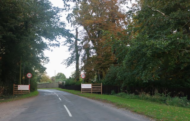
Cranford St Andrew is a small village located in the county of Northamptonshire, England. Situated approximately 10 miles northeast of the town of Kettering, it is part of the borough of Kettering and falls under the jurisdiction of the East Midlands region. The village lies in close proximity to the A14 road, providing convenient access to nearby towns and cities.
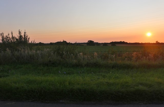
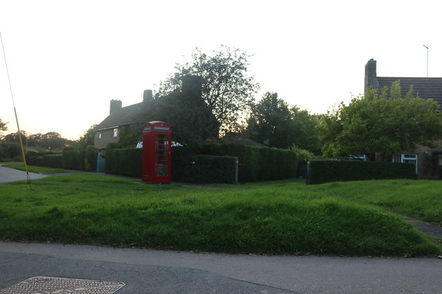
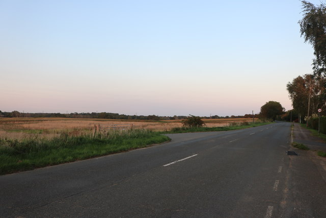
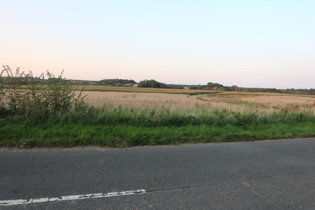
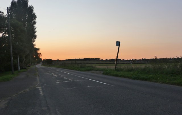
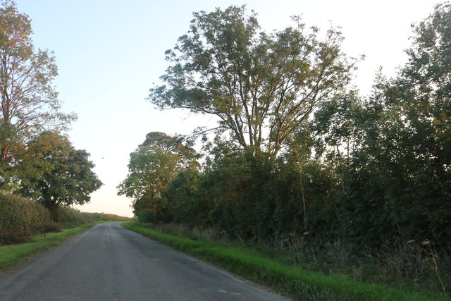
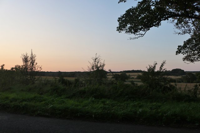
With a population of around 300 residents, Cranford St Andrew retains a tight-knit community atmosphere. The village is characterized by picturesque countryside surroundings, featuring rolling green fields and charming rural landscapes. This makes it an ideal location for those seeking a peaceful and idyllic lifestyle away from the hustle and bustle of larger urban areas.
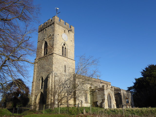
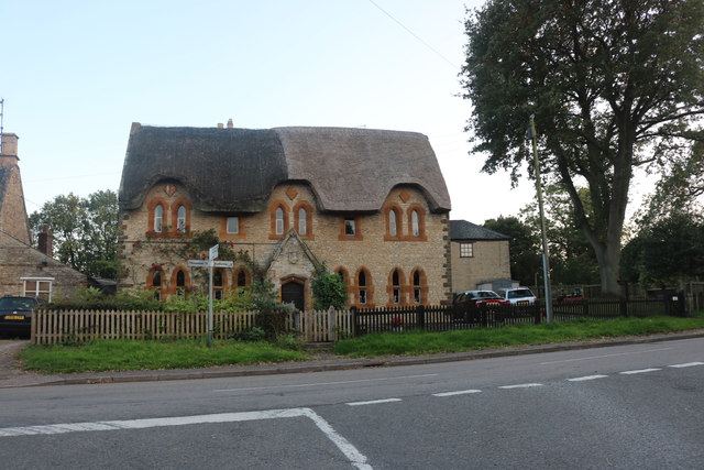
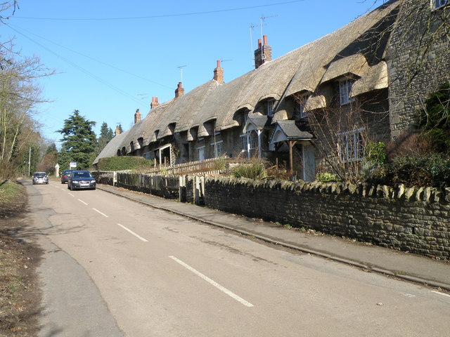
The village is home to St Andrew's Church, a Grade II listed building that dates back to the 13th century. It serves as a focal point for the community, hosting regular religious services and various community events throughout the year. Additionally, Cranford St Andrew boasts a village hall, providing a venue for social gatherings, meetings, and recreational activities.
While Cranford St Andrew does not have any significant commercial or retail establishments, the nearby towns of Kettering and Wellingborough offer a wide range of amenities and services, including shopping centers, supermarkets, schools, and healthcare facilities.
Overall, Cranford St Andrew is a tranquil and close-knit village, offering a peaceful countryside lifestyle within easy reach of larger towns and cities.
If you have any feedback on the listing, please let us know in the comments section below.
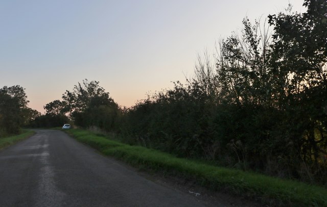
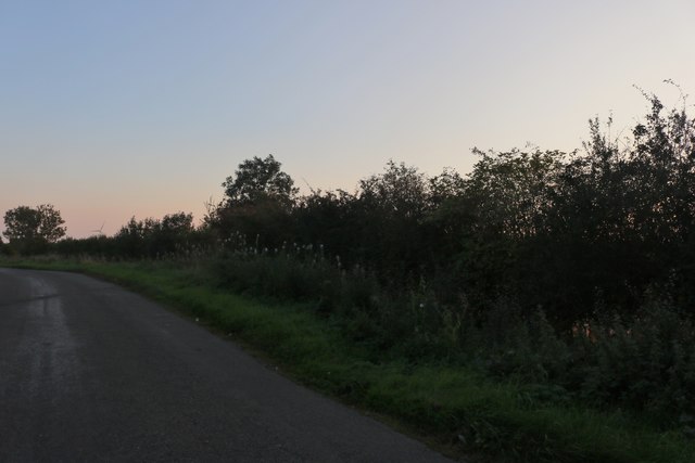
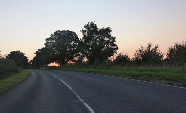
Cranford St Andrew Images
Images are sourced within 2km of 52.386828/-0.647851 or Grid Reference SP9277. Thanks to Geograph Open Source API. All images are credited.
Cranford St Andrew is located at Grid Ref: SP9277 (Lat: 52.386828, Lng: -0.647851)
Unitary Authority: North Northamptonshire
Police Authority: Northamptonshire
What 3 Words
///research.caskets.formation. Near Burton Latimer, Northamptonshire
Nearby Locations
Related Wikis
Cranford St Andrew
Cranford St Andrew is a village and former civil parish, now in the parish of Cranford, in the North Northamptonshire district, in the ceremonial county...

St Andrew's Church, Cranford
St Andrew's Church is a redundant Anglican church in Cranford St Andrew, Northamptonshire, England. It is recorded in the National Heritage List for England...
Cranford, Northamptonshire
Cranford is a civil parish in the North Northamptonshire district, in the ceremonial county of Northamptonshire, England. The two settlements in the parish...

Cranford St John
Cranford St John is a village and former civil parish, now in the parish of Cranford, in the North Northamptonshire district, in the ceremonial county...

Cranford railway station
Cranford railway station served the civil parish of Cranford, Northamptonshire, England, from 1866 to 1961 on the Kettering, Thrapston and Huntingdon Railway...

Cranford St John SSSI
Cranford St John SSSI is a 2.8-hectare (6.9-acre) geological Site of Special Scientific Interest in Cranford St John, east of Kettering in Northamptonshire...
Twywell Gullet
Twywell Gullet is a 17.1-hectare (42-acre) biological Site of Special Scientific Interest east of Kettering in Northamptonshire. It is part of the 54.6...

Burton Latimer Hall
Burton Latimer Hall is an Elizabethan manor house in the village of Burton Latimer, Northamptonshire. It is a Grade I listed building.The Hall, probably...
Nearby Amenities
Located within 500m of 52.386828,-0.647851Have you been to Cranford St Andrew?
Leave your review of Cranford St Andrew below (or comments, questions and feedback).