Cranham
Settlement in Gloucestershire Stroud
England
Cranham
Cranham is a picturesque village located in the Cotswolds, within the county of Gloucestershire, England. Situated approximately six miles northeast of the city of Gloucester, Cranham offers a charming and tranquil atmosphere, surrounded by stunning countryside.
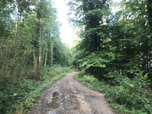
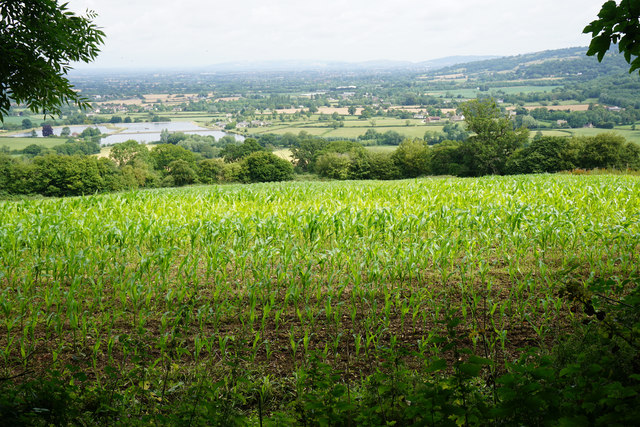
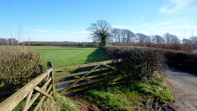
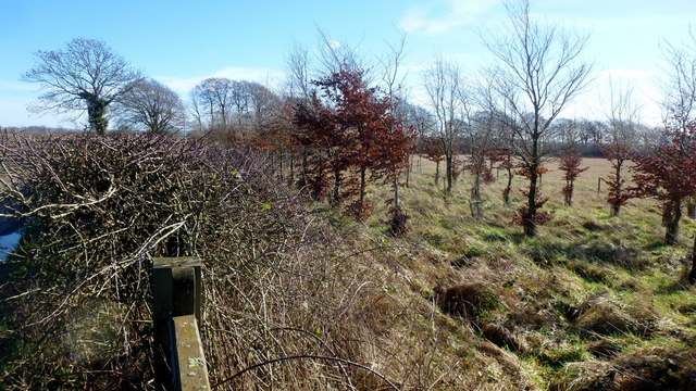
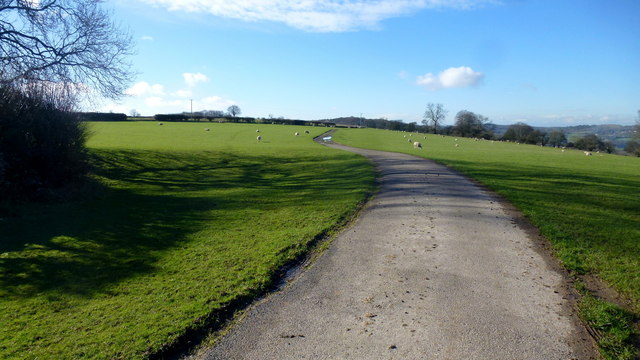
The village is known for its traditional Cotswold stone houses, which add to its distinctive character. Its idyllic setting makes it a popular destination for tourists seeking a peaceful retreat. The surrounding landscape is dominated by rolling hills, lush green fields, and ancient woodlands, providing ample opportunities for outdoor activities such as hiking, cycling, and horseback riding.
Cranham is home to a close-knit community, with a population of around 500 residents. The village features a handful of amenities, including a local pub, a village hall, and a primary school. Additionally, it hosts a number of community events throughout the year, fostering a strong sense of community spirit.
One of the notable landmarks in Cranham is the Church of St. James, a beautiful medieval church dating back to the 12th century. The church is known for its stunning stained glass windows and intricate architectural details.
Overall, Cranham offers a peaceful retreat in the heart of the Cotswolds, with its picturesque scenery, traditional architecture, and strong community spirit. It is an ideal destination for those seeking a break from the hustle and bustle of city life and a chance to immerse themselves in the natural beauty of Gloucestershire.
If you have any feedback on the listing, please let us know in the comments section below.
Cranham Images
Images are sourced within 2km of 51.81212/-2.1546101 or Grid Reference SO8912. Thanks to Geograph Open Source API. All images are credited.


Cranham is located at Grid Ref: SO8912 (Lat: 51.81212, Lng: -2.1546101)
Administrative County: Gloucestershire
District: Stroud
Police Authority: Gloucestershire
What 3 Words
///stun.remaining.fabricate. Near Painswick, Gloucestershire
Nearby Locations
Related Wikis

Cranham, Gloucestershire
Cranham is a village in the English county of Gloucestershire. Forming part of the district of Stroud it is to be found a mile or so east of the A46 road...

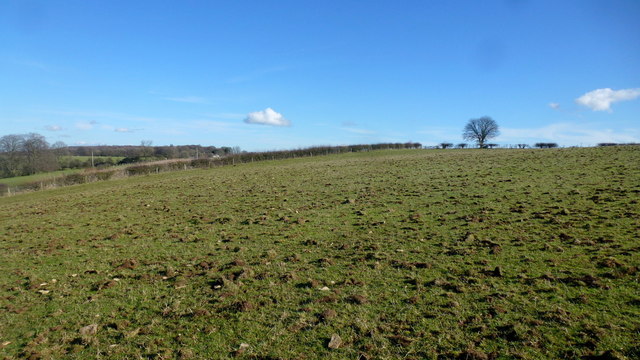
Cotswold Commons and Beechwoods
Cotswold Commons and Beechwoods (grid reference SO900130) is a 665.5-hectare (1,644-acre) biological Site of Special Scientific Interest in Gloucestershire...
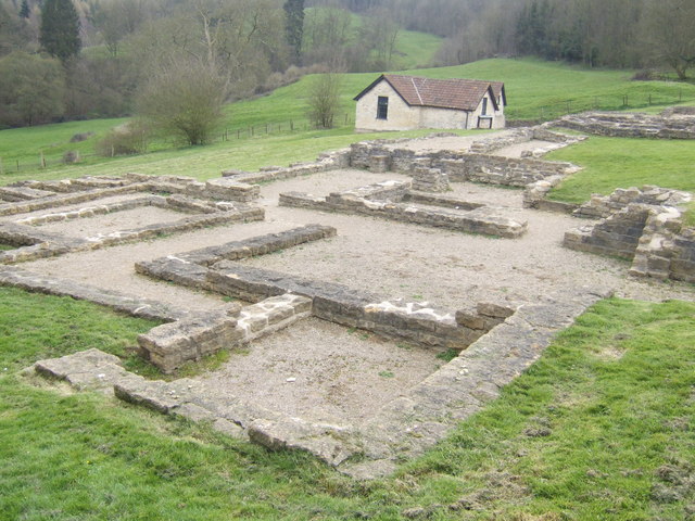
Great Witcombe Roman Villa
Great Witcombe Roman Villa was a villa built during the Roman occupation of Britain. It is located on a hillside at Great Witcombe, near Gloucester in...

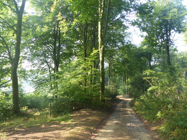
Workmans Wood, Sheepscombe
Workmans Wood (grid reference SO900109) is a wood just to the east of the village of Sheepscombe, in the Cotswolds, Gloucestershire. It is a biological...
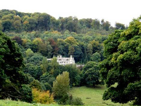
Prinknash Abbey
Prinknash Abbey (pronounced locally variously as "Prinidge/Prinnish") (IPA: ) is a Roman Catholic monastery in the Vale of Gloucester in the Diocese of...

Cooper's Hill Cheese-Rolling and Wake
The Cooper's Hill Cheese-Rolling and Wake is an annual event held on the Spring Bank Holiday at Cooper's Hill, near Gloucester in England. Participants...

Painswick Lodge
Painswick Lodge is a grade I listed house in Painswick, Gloucestershire, England. The rubble stone building, which has been extensively reworked and remodelled...

Sheepscombe
Sheepscombe is a small village in the civil parish of Painswick, in the Stroud district, in the county of Gloucestershire, England. Sheepscombe is located...
Nearby Amenities
Located within 500m of 51.81212,-2.1546101Have you been to Cranham?
Leave your review of Cranham below (or comments, questions and feedback).