Cranham

Settlement in Essex

England

Cranham

Underground trains at Upminster
Underground trains at Upminster Credit: David Robinson

Cranham is a small village located in the borough of Havering, in the county of Essex, England. Situated on the northeastern outskirts of London, Cranham is known for its idyllic rural setting and its close proximity to the urban city center.

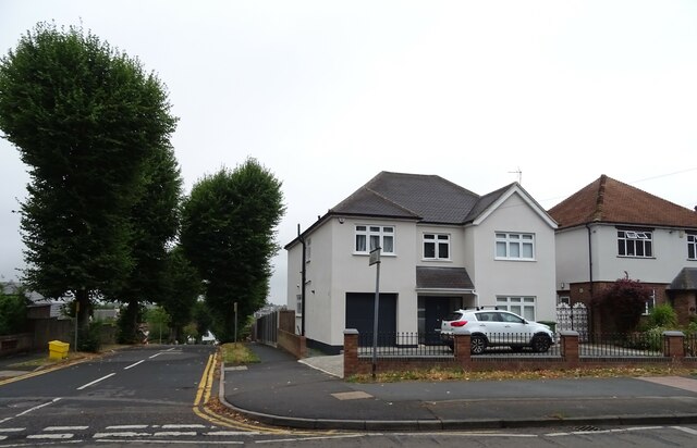
With a population of approximately 3,500 residents, Cranham offers a peaceful and tranquil environment for those seeking a break from the hustle and bustle of city life. The village is characterized by its charming cottages, tree-lined streets, and beautiful open green spaces, making it a popular choice for families and retirees alike.

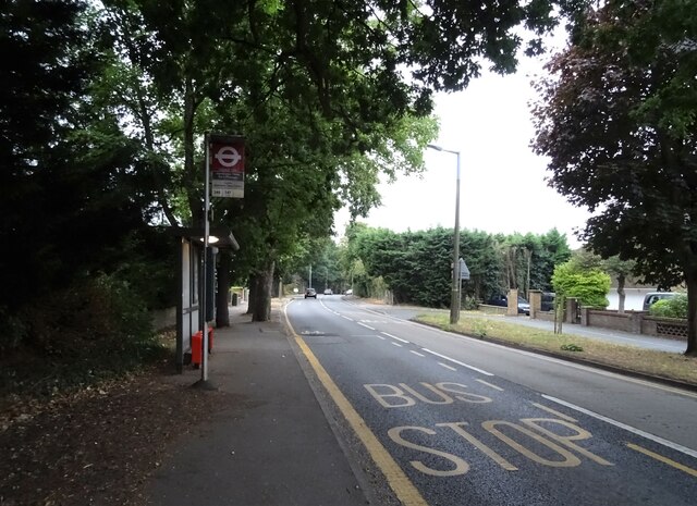
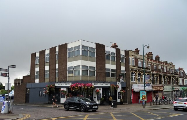
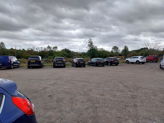
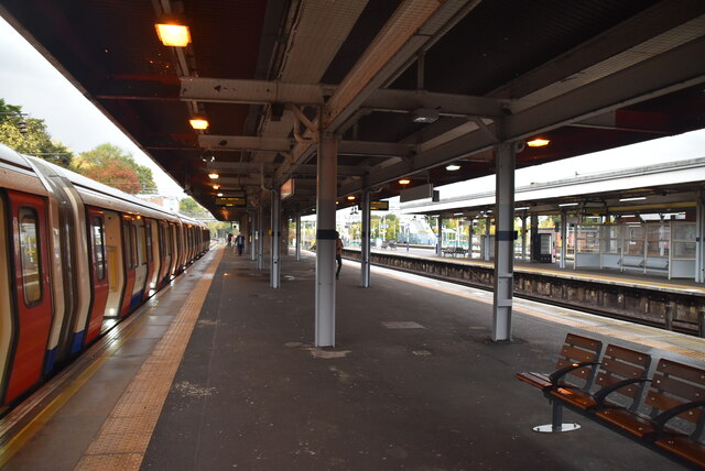
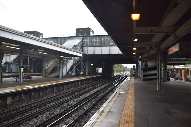
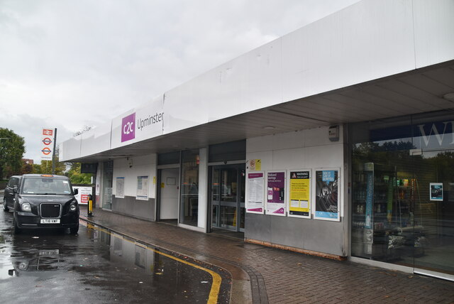
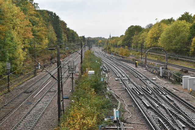
Cranham is well-connected to the surrounding areas via public transportation, with several bus routes and a nearby train station providing easy access to London and other nearby towns. The village also benefits from a range of local amenities, including a post office, convenience stores, and a selection of independent shops and restaurants.

Nature enthusiasts will appreciate Cranham's proximity to a number of green spaces and parks, including Cranham Marshes Nature Reserve and Cranham Golf Course. These areas offer opportunities for outdoor activities such as walking, birdwatching, and golfing.

The village is also home to a number of historical landmarks, including the ancient Church of St. Luke, which dates back to the 12th century. Additionally, Cranham has a strong sense of community and hosts various events throughout the year, such as the Cranham Feast and the Cranham Village Fete.

Overall, Cranham, Essex provides a charming and picturesque setting for residents and visitors, combining the tranquility of a rural village with the convenience of nearby urban amenities.

If you have any feedback on the listing, please let us know in the comments section below.
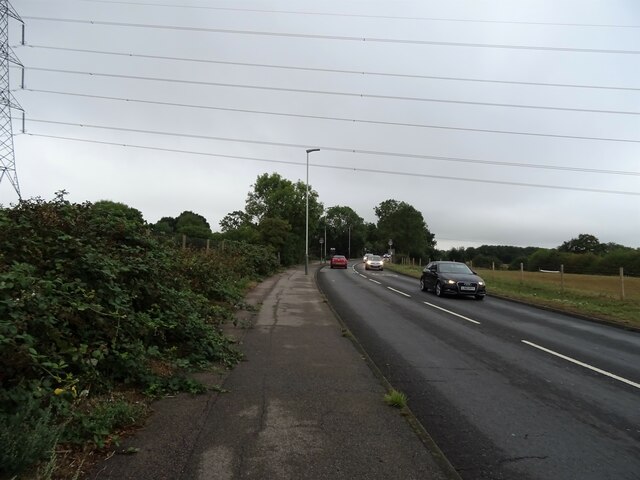
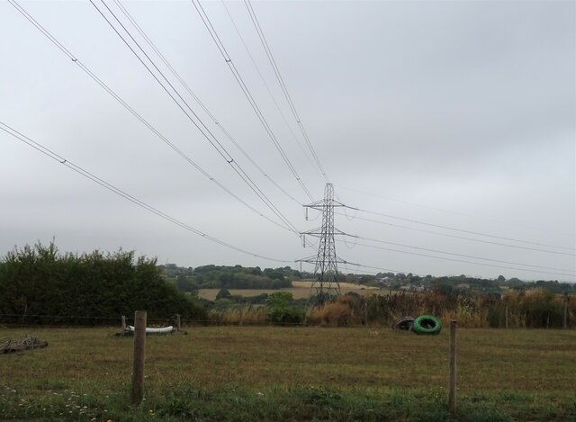
Cranham Images

Images are sourced within 2km of 51.565259/0.269543 or Grid Reference TQ5787. Thanks to Geograph Open Source API. All images are credited.

Underground trains at Upminster
Woodland beside Southend Arterial Road (A127)
Southend Arterial Road (A127) Looking east towards the M25 Motorway.
Southend Arterial Road (A127)
Looking east towards the M25 Motorway.
Farm buildings on Hall Lane
Hall Lane Towards Upminster.
Hall Lane
Towards Upminster.
Grazing and pylon Off Hall Lane.
Grazing and pylon
Off Hall Lane.
House on Hall Lane, Upminster
Bus stop and shelter on Hall Lane, Upminster
Train approaching Upminster Railway Station
The Junction public house, Upminster On Station Road.
See <a href="https://www.geograph.org.uk/photo/7269538">TQ5686 : Sign for the Junction public house, Upminster</a> for sign.
The Junction public house, Upminster
Sign for the Junction public house, Upminster See <a href="https://www.geograph.org.uk/photo/7269536">TQ5686 : The Junction public house, Upminster</a> for context.
Sign for the Junction public house, Upminster
St Mary's Lane under the M25 Motorway This is the last B-road, and the penultimate road overall, to pass under (rather than over) the M25 before the Dartford Crossing.
St Mary's Lane under the M25 Motorway
This is the last B-road, and the penultimate road overall, to pass under (rather than over) the M25 before the Dartford Crossing.
Puddle Cafe
Puddle Cafe
Car park
Car park
District Line, Upminster Station Upminster station is a London Underground and National Rail interchange station in London fare zone 6. It is the easternmost station on the London Underground network and the eastern terminus of the District line service. The station is owned by Network Rail and is managed by the c2c; who provide train services on the London–Tilbury–Southend route from Fenchurch Street. It is also the eastern terminus of a shuttle service to Romford operated by Greater Anglia. The station opened to the public on Friday 1 May 1885. 
Wikipedia: <span class="nowrap"><a title="http://en.wikipedia.org/wiki/Upminster_station" rel="nofollow ugc noopener" href="http://en.wikipedia.org/wiki/Upminster_station">Link</a><img style="margin-left:2px;" alt="External link" title="External link - shift click to open in new window" src="https://s1.geograph.org.uk/img/external.png" width="10" height="10"/></span>
District Line, Upminster Station
Upminster station is a London Underground and National Rail interchange station in London fare zone 6. It is the easternmost station on the London Underground network and the eastern terminus of the District line service. The station is owned by Network Rail and is managed by the c2c; who provide train services on the London–Tilbury–Southend route from Fenchurch Street. It is also the eastern terminus of a shuttle service to Romford operated by Greater Anglia. The station opened to the public on Friday 1 May 1885. Wikipedia: LinkExternal link
Upminster Station Upminster station is a London Underground and National Rail interchange station in London fare zone 6. It is the easternmost station on the London Underground network and the eastern terminus of the District line service. The station is owned by Network Rail and is managed by the c2c; who provide train services on the London–Tilbury–Southend route from Fenchurch Street. It is also the eastern terminus of a shuttle service to Romford operated by Greater Anglia. The station opened to the public on Friday 1 May 1885. 
Wikipedia: <span class="nowrap"><a title="http://en.wikipedia.org/wiki/Upminster_station" rel="nofollow ugc noopener" href="http://en.wikipedia.org/wiki/Upminster_station">Link</a><img style="margin-left:2px;" alt="External link" title="External link - shift click to open in new window" src="https://s1.geograph.org.uk/img/external.png" width="10" height="10"/></span>
Upminster Station
Upminster station is a London Underground and National Rail interchange station in London fare zone 6. It is the easternmost station on the London Underground network and the eastern terminus of the District line service. The station is owned by Network Rail and is managed by the c2c; who provide train services on the London–Tilbury–Southend route from Fenchurch Street. It is also the eastern terminus of a shuttle service to Romford operated by Greater Anglia. The station opened to the public on Friday 1 May 1885. Wikipedia: LinkExternal link
Main line (L) and District Line (R) The London, Tilbury and Southend Railway is a railway line linking Fenchurch Street railway station in London with northeast London and the entire length of the northern Thames Gateway area of southern Essex to Shoeburyness. The line has two branches the direct line via Basildon and the longer slower line via Grays and Tilbury. The two lines divide at Barking and Pitsea. The line was opened in 1854.
Main line (L) and District Line (R)
The London, Tilbury and Southend Railway is a railway line linking Fenchurch Street railway station in London with northeast London and the entire length of the northern Thames Gateway area of southern Essex to Shoeburyness. The line has two branches the direct line via Basildon and the longer slower line via Grays and Tilbury. The two lines divide at Barking and Pitsea. The line was opened in 1854.
Show me another place!

Cranham is located at Grid Ref: TQ5787 (Lat: 51.565259, Lng: 0.269543)

Unitary Authority: Havering

Police Authority: Metropolitan

What 3 Words

///snow.saints.minus. Near Cranham, London

Nearby Locations

Cranham

Related Wikis

Cranham (ward)

Cranham is an electoral ward in the London Borough of Havering. The ward was originally created in 1965 and abolished in 1978. It was created again in...

Cranham

Cranham is a residential area of east London, and part of the London Borough of Havering. It is located 17.5 miles (28 km) east-northeast of Charing Cross...

Hall Mead School

Hall Mead School is a coeducational secondary school with academy status, located in Cranham area of the London Borough of Havering, England. == Faculty... ==
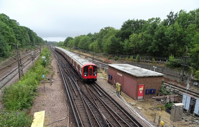
Upminster Depot

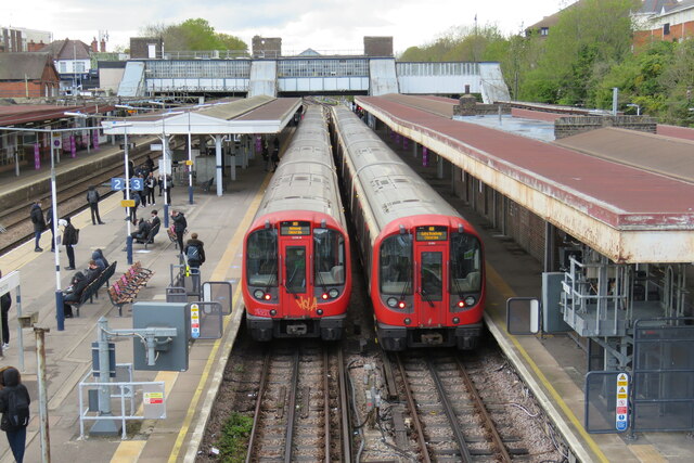
Upminster Depot is a London Underground railway depot on the District line, in Cranham, East London. The depot is located beyond Upminster station, the...

Nearby Amenities

Located within 500m of 51.565259,0.269543
Cranham
Is In: Upminster
Place: suburb
Population: 12500
Wikidata: Q2514068
Wikipedia: en:Cranham
Lat/Long: 51.5614882/0.2679097
Turning Circle
Lat/Long: 51.5648554/0.2689094
Ref GB Tflcid: RWG121929
Traffic Calming: hump
Lat/Long: 51.5649965/0.2670061
Bus Stop
Briarleas Gardens
Naptan AtcoCode: 490004309N
Naptan Bearing: N
Naptan CommonName: Briarleas Gardens
Naptan Street: FRONT LANE
Naptan Verified: no
Public Transport: platform
Lat/Long: 51.5672966/0.2679282
Bus Stop
Briarleas Gardens
Naptan AtcoCode: 490004309S
Naptan Bearing: N
Naptan CommonName: Briarleas Gardens
Naptan Street: FRONT LANE
Naptan Verified: no
Public Transport: platform
Lat/Long: 51.5681193/0.2684462
Bus Stop
Brunswick Avenue
Naptan AtcoCode: 490004529S
Naptan Bearing: N
Naptan CommonName: Brunswick Avenue Waycross Rd
Naptan Street: WAYCROSS ROAD
Naptan Verified: no
Public Transport: platform
Lat/Long: 51.5685209/0.2701344
Bus Stop
Kings Gardens
Naptan AtcoCode: 490008777N
Naptan Bearing: N
Naptan CommonName: Kings Gardens
Naptan Street: FRONT LANE
Naptan Verified: no
Public Transport: platform
Lat/Long: 51.5651697/0.2670279
Bus Stop
Kings Gardens
Naptan AtcoCode: 490008777S
Naptan Bearing: N
Naptan CommonName: Kings Gardens
Naptan Street: FRONT LANE
Naptan Verified: no
Public Transport: platform
Lat/Long: 51.5661699/0.267889
Bus Stop
Hail & Ride Moor Lane
Naptan AtcoCode: 490010014E
Naptan Bearing: E
Naptan CommonName: CranhamMoor Lane Front Lane
Naptan Verified: no
Physically Present: no
Public Transport: platform
Lat/Long: 51.5619585/0.2674036
Bus Stop
Moor Lane
Bench: yes
Lit: yes
Naptan AtcoCode: 490010014N
Naptan Bearing: N
Naptan CommonName: CranhamMoor Lane Front Lane
Naptan Indicator: Stop
Naptan Verified: no
Public Transport: platform
Shelter: yes
Tactile Paving: no
Lat/Long: 51.5618136/0.2669475
Bus Stop
Moor Lane
Bench: yes
Lit: yes
Naptan AtcoCode: 490010014S
Naptan Bearing: N
Naptan CommonName: CranhamMoor Lane Front Lane
Naptan Verified: no
Public Transport: platform
Shelter: yes
Tactile Paving: no
Lat/Long: 51.5616405/0.2671845
Bus Stop
Hail & Ride Moor Lane
Naptan AtcoCode: 490015799W
Naptan Bearing: W
Naptan CommonName: Cranham Moor Lane
Naptan Verified: no
Physically Present: no
Public Transport: platform
Lat/Long: 51.5626173/0.2708668
Bus Stop
Hail & Ride Heron Way
Naptan AtcoCode: 490015840N
Naptan Bearing: N
Naptan CommonName: Heron Way
Naptan Verified: no
Physically Present: no
Public Transport: platform
Lat/Long: 51.5652732/0.2731706
Bus Stop
Hail & Ride Heron Way
Naptan AtcoCode: 490015840S
Naptan Bearing: S
Naptan CommonName: Heron Way
Naptan Verified: no
Physically Present: no
Public Transport: platform
Lat/Long: 51.5652413/0.2733646
Bus Stop
Front Lane
Naptan AtcoCode: 490013381E
Naptan Bearing: E
Naptan CommonName: Front Lane
Naptan Street: AVON ROAD
Naptan Verified: no
Public Transport: platform
Lat/Long: 51.5685853/0.2677338
Bus Stop
Front Lane
Naptan AtcoCode: 490013381W
Naptan Bearing: W
Naptan CommonName: Front Lane
Naptan Street: AVON ROAD
Naptan Verified: no
Public Transport: platform
Lat/Long: 51.5685394/0.2669076
Shop: convenience
Lat/Long: 51.5686426/0.2676789
Fast Food
Lat/Long: 51.5685826/0.2684069
Pharmacy
Lat/Long: 51.5686159/0.2679101
Post Office
Cranham Post Office
Brand: Post Office
Brand Wikidata: Q1783168
Check Date: 2023-09-27
Operator: Tesco Express
Ref Pol Id: 24586
Source: OS_OpenData_StreetView
Website: https://www.postoffice.co.uk/branch-finder/2020262/cranham
Lat/Long: 51.5618435/0.2667625
Tesco Express
Addr Housenumber: 77-81
Addr Postcode: RM14 1XL
Addr Street: Front Lane
Brand: Tesco Express
Brand Wikidata: Q98456772
Contact Website: https://www.tesco.com/store-locator/upminster/77-81-front-ln
Fhrs Id: 373259
Shop: convenience
Lat/Long: 51.5619438/0.2667139
Atm
Check Date: 2021-06-20
Operator: Tesco Bank
Lat/Long: 51.5620505/0.266773
Barrier: bollard
Lat/Long: 51.5676315/0.2656855
Bicycle Parking
Access: yes
Bicycle Parking: stands
Capacity: 4
Covered: no
Fee: no
Source: survey
Lat/Long: 51.5619697/0.2672488
Bicycle Parking
Access: yes
Bicycle Parking: stands
Capacity: 4
Covered: no
Fee: no
Source: survey
Lat/Long: 51.561708/0.266979
Bicycle Parking
Access: yes
Bicycle Parking: stands
Capacity: 2
Covered: no
Fee: no
Lat/Long: 51.5626865/0.2664285
Bicycle Parking
Bicycle Parking: stands
Capacity: 4
Ref GB Tflcid: RWG122623
Lat/Long: 51.5685964/0.267656
Bicycle Parking
Bicycle Parking: stands
Capacity: 4
Ref GB Tflcid: RWG122624
Lat/Long: 51.5685679/0.2681832
Post Box
Operator: Royal Mail
Operator Wikidata: Q638098
Post Box Type: pillar
Lat/Long: 51.5617575/0.2669728
Pub
The Plough
Operator: Stonegate
Operator Wikidata: Q7619176
Website: https://www.craftunionpubs.com/plough-upminster
Lat/Long: 51.5621665/0.2664989
Bicycle Parking
Access: yes
Bicycle Parking: stands
Capacity: 2
Covered: no
Fee: no
Lat/Long: 51.5627816/0.2664019
Bicycle Parking
Access: yes
Bicycle Parking: stands
Capacity: 2
Covered: no
Fee: no
Lat/Long: 51.5625878/0.266474
Post Box
Operator: Royal Mail
Operator Wikidata: Q638098
Post Box Type: pillar
Lat/Long: 51.5652767/0.2643075
Post Box
Operator: Royal Mail
Operator Wikidata: Q638098
Post Box Type: pillar
Lat/Long: 51.568598/0.2679127
Post Box
Operator: Royal Mail
Operator Wikidata: Q638098
Post Box Type: lamp
Lat/Long: 51.5668694/0.2747073
Post Box
Operator: Royal Mail
Operator Wikidata: Q638098
Post Box Type: pillar
Lat/Long: 51.5623872/0.2701585
The data included in this document is from www.openstreetmap.org. The data is made available under ODbL.

Have you been to Cranham?

Leave your review of Cranham below (or comments, questions and feedback).