Daniels Grove
Wood, Forest in Gloucestershire Stroud
England
Daniels Grove
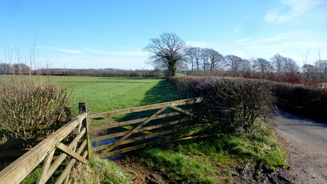
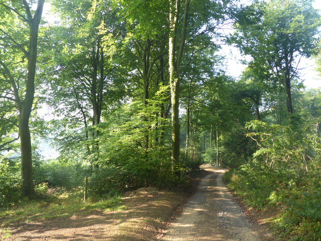
Daniels Grove is a picturesque woodland located in Gloucestershire, England. Situated within the larger Forest of Dean, this idyllic grove is known for its natural beauty and tranquility. The grove is named after Daniel, a local landowner who once owned the land where it now stands.
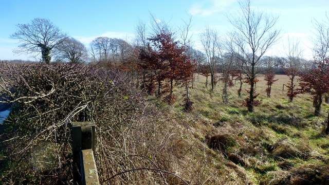
Covering an area of approximately 100 acres, Daniels Grove is predominantly made up of ancient oak trees, which provide a rich habitat for a variety of wildlife. The thick foliage creates a dense canopy, allowing only dappled sunlight to filter through, creating a peaceful atmosphere.
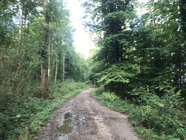
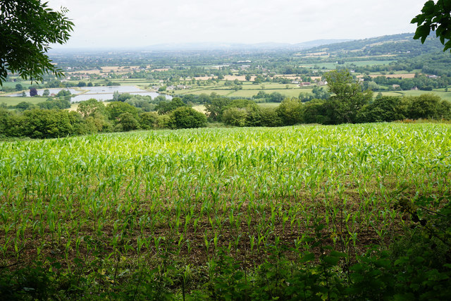
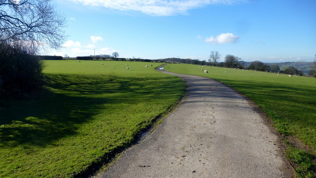
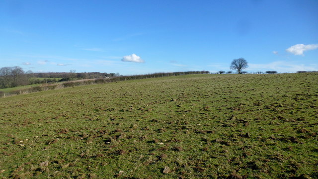
Visitors to Daniels Grove can enjoy leisurely walks along the well-maintained paths that wind through the forest. These paths offer stunning views of the surrounding countryside, with glimpses of rolling hills and open fields. The grove is particularly popular during the autumn months when the leaves of the oak trees turn vibrant shades of red, orange, and gold, creating a breathtaking display.
Wildlife enthusiasts will be delighted by the abundance of fauna that calls Daniels Grove home. The grove is home to a diverse array of bird species, including woodpeckers, owls, and various songbirds. Additionally, deer, foxes, and squirrels can often be spotted darting through the undergrowth.
For those seeking a peaceful retreat in nature, Daniels Grove provides the perfect escape. Whether it's a leisurely stroll, birdwatching, or simply enjoying the serenity of the woodland, this hidden gem in Gloucestershire offers a truly enchanting experience for visitors of all ages.
If you have any feedback on the listing, please let us know in the comments section below.
Daniels Grove Images
Images are sourced within 2km of 51.814997/-2.1550552 or Grid Reference SO8912. Thanks to Geograph Open Source API. All images are credited.


Daniels Grove is located at Grid Ref: SO8912 (Lat: 51.814997, Lng: -2.1550552)
Administrative County: Gloucestershire
District: Stroud
Police Authority: Gloucestershire
What 3 Words
///leave.supposes.undulation. Near Painswick, Gloucestershire
Nearby Locations
Related Wikis

Cranham, Gloucestershire
Cranham is a village in the English county of Gloucestershire. Forming part of the district of Stroud it is to be found a mile or so east of the A46 road...

Cotswold Commons and Beechwoods
Cotswold Commons and Beechwoods (grid reference SO900130) is a 665.5-hectare (1,644-acre) biological Site of Special Scientific Interest in Gloucestershire...
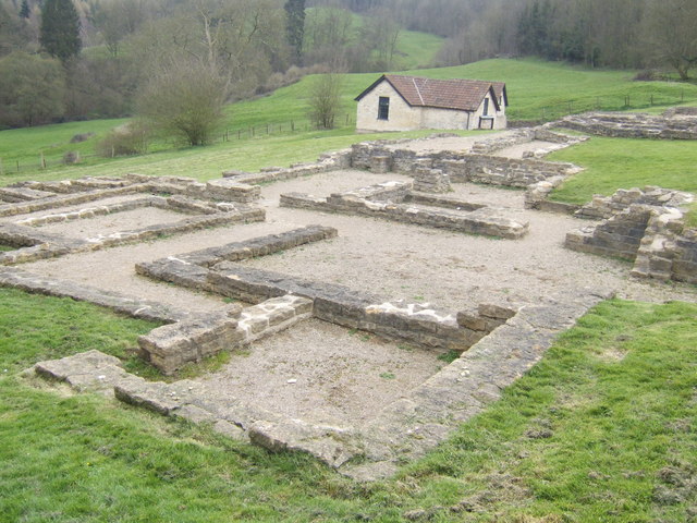
Great Witcombe Roman Villa
Great Witcombe Roman Villa was a villa built during the Roman occupation of Britain. It is located on a hillside at Great Witcombe, near Gloucester in...
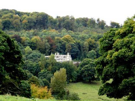
Prinknash Abbey
Prinknash Abbey (pronounced locally variously as "Prinidge/Prinnish") (IPA: ) is a Roman Catholic monastery in the Vale of Gloucester in the Diocese of...
Nearby Amenities
Located within 500m of 51.814997,-2.1550552Have you been to Daniels Grove?
Leave your review of Daniels Grove below (or comments, questions and feedback).