Cossall
Civil Parish in Nottinghamshire Broxtowe
England
Cossall
Cossall is a civil parish located in the Broxtowe district of Nottinghamshire, England. It is situated approximately 9 miles west of Nottingham city center and is surrounded by the neighboring parishes of Awsworth, Trowell, and Ilkeston.
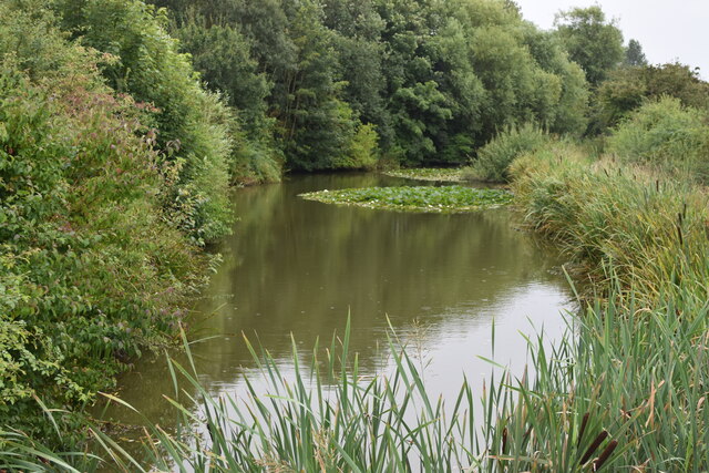
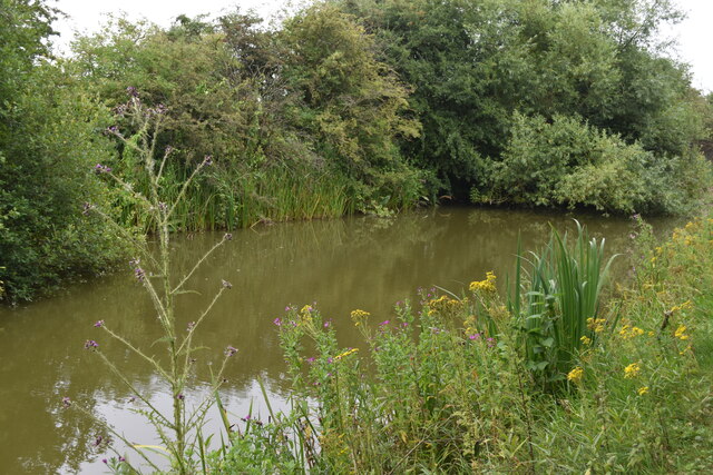
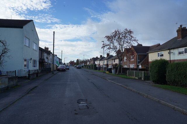
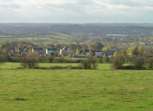
The small village of Cossall is home to a population of around 1,000 residents. Historically, the area was primarily agricultural, but it has seen some development in recent years, including the construction of new residential properties. Despite these changes, Cossall has managed to retain its rural charm and is known for its picturesque countryside and peaceful atmosphere.
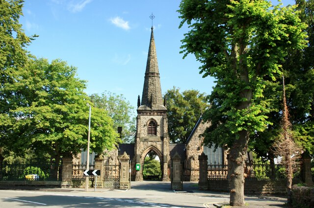
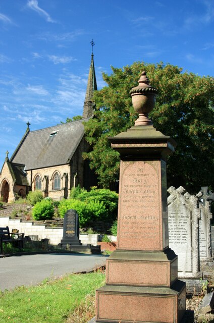
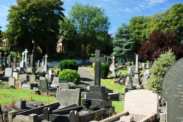
The parish features a mix of traditional and modern architecture, with a number of historic buildings still standing. One notable landmark is Cossall Old Church, a Grade II listed building that dates back to the 12th century. The church's architectural style is predominantly Gothic, and it holds regular services for the local community.
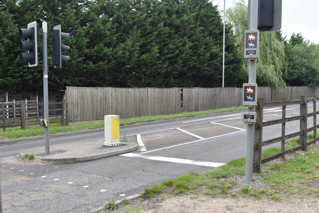
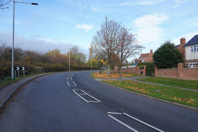
Cossall is well-connected in terms of transportation, with the A6096 road passing through the village, providing easy access to neighboring towns and the wider Nottinghamshire area. The village also benefits from regular bus services, ensuring convenient travel options for its residents.
In terms of amenities, Cossall has a few small local businesses, including a convenience store and a pub, providing essential services and a social hub for the community. Additionally, there are several parks and green spaces, offering opportunities for outdoor recreation and leisure activities.
Overall, Cossall is a charming and tranquil village, offering a peaceful residential environment with easy access to both rural and urban amenities.
If you have any feedback on the listing, please let us know in the comments section below.
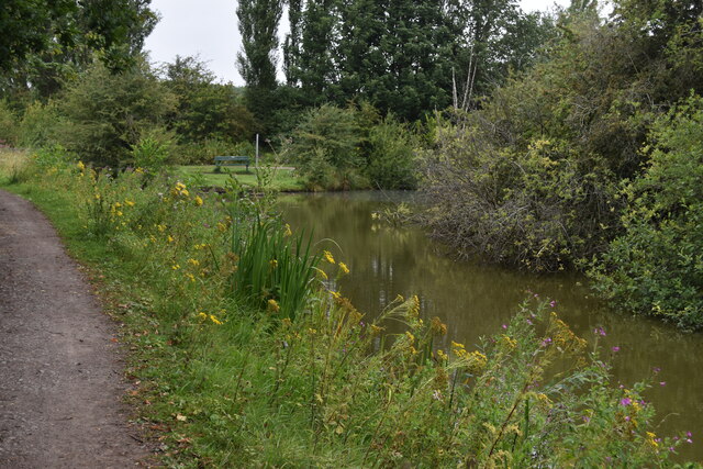
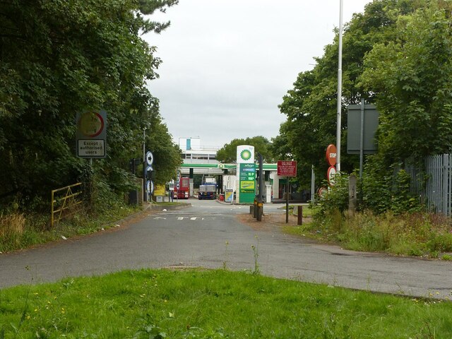
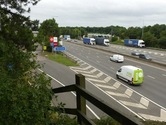
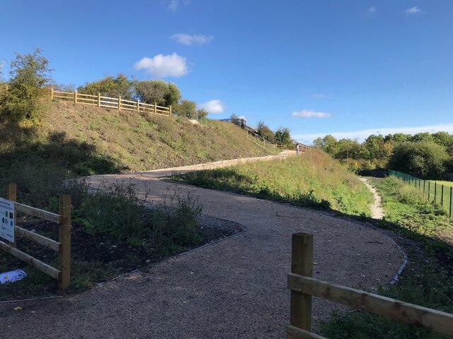
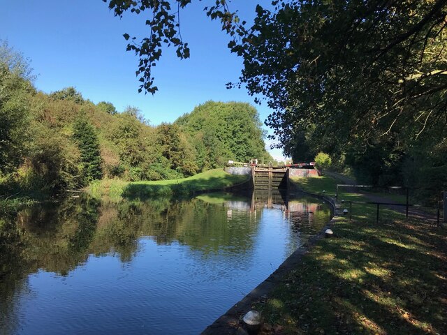
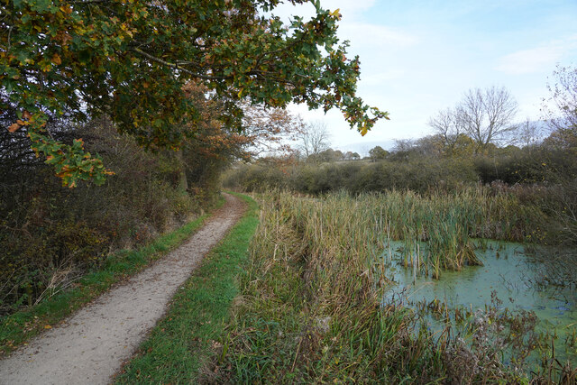
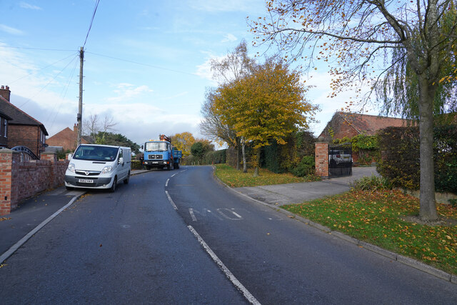
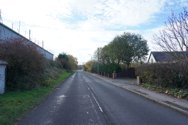
Cossall Images
Images are sourced within 2km of 52.976822/-1.28048 or Grid Reference SK4842. Thanks to Geograph Open Source API. All images are credited.
Cossall is located at Grid Ref: SK4842 (Lat: 52.976822, Lng: -1.28048)
Administrative County: Nottinghamshire
District: Broxtowe
Police Authority: Nottinghamshire
What 3 Words
///young.noses.wants. Near Kimberley, Nottinghamshire
Nearby Locations
Related Wikis

Cossall
Cossall is a village and civil parish 1 mile (1.6 km) east of Ilkeston in Nottinghamshire, England. The 2001 Census recorded a parish population of 612...

St Catherine's Church, Cossall
St Catherine's Church, Cossall is a Grade II* listed parish church in the Church of England in Cossall, Nottinghamshire, England. == History == The church...
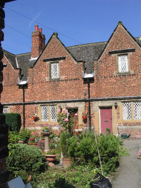
Willoughby Almshouses
The Willoughby Almshouses were erected in 1685 in Cossall, Nottinghamshire, England.These were originally for "4 single poor men over 60 years of age and...
Babbington
Babbington is a hamlet in Nottinghamshire, England. It is located 2 miles south of Kimberley, close to the M1 motorway. It is part of Kimberley civil parish...

Ilkeston Junction and Cossall railway station
Ilkeston Junction and Cossall railway station was a railway station which served the town of Ilkeston in Derbyshire, England. == History == It was opened...

Ilkeston railway station
Ilkeston railway station serves the town of Ilkeston, Derbyshire, England. It is located at the site of the former Ilkeston Junction and Cossall station...
Giltbrook Viaduct
Giltbrook Viaduct was a railway viaduct built in the Erewash Valley between Awsworth and Giltbrook in Nottinghamshire. It was demolished in 1973 to make...
Oldmoor Wood
Oldmoor Wood is a woodland in Nottinghamshire, England, near the village of Strelley. It covers a total area of 15.11 hectares (37.34 acres). It is owned...
Nearby Amenities
Located within 500m of 52.976822,-1.28048Have you been to Cossall?
Leave your review of Cossall below (or comments, questions and feedback).