Cossall Marsh
Settlement in Nottinghamshire Broxtowe
England
Cossall Marsh
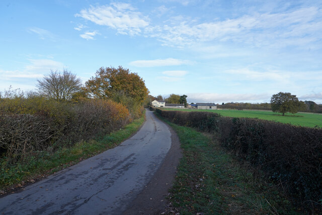
Cossall Marsh is a small, rural area located in Nottinghamshire, England. Situated approximately 5 miles northwest of Nottingham city center, it is nestled between the towns of Ilkeston and Eastwood. The marsh is part of the wider Cossall village, which is known for its picturesque landscapes and peaceful atmosphere.
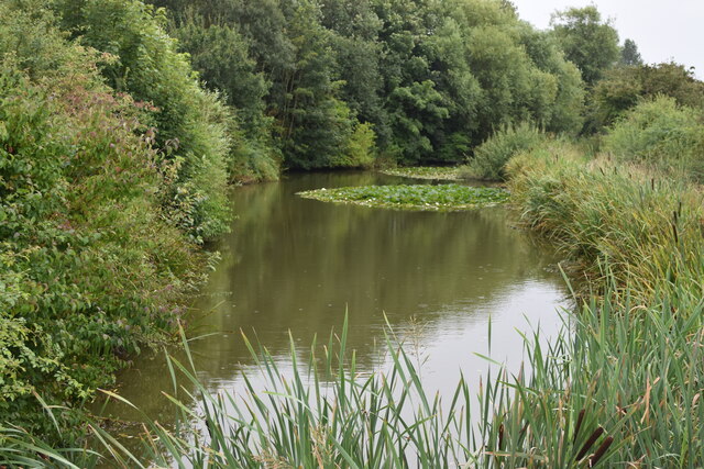
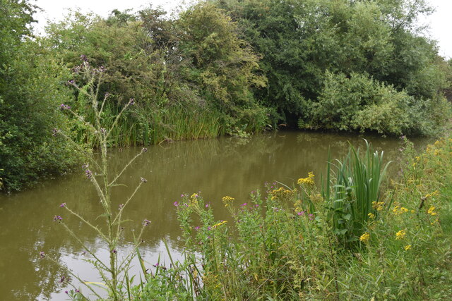
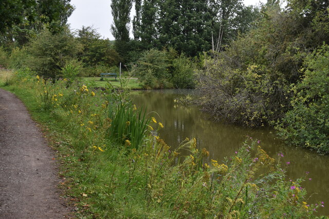
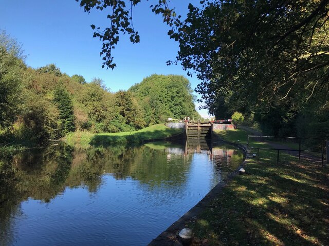
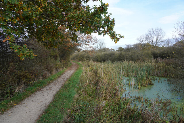
Covering an area of around 200 acres, Cossall Marsh is a designated Site of Special Scientific Interest (SSSI). It is renowned for its diverse range of plant and animal species, making it a popular spot for nature enthusiasts and birdwatchers. The marsh is home to various wetland habitats, including reed beds, ponds, and meadows, which support a rich ecosystem.
The area is teeming with wildlife, with regular sightings of rare birds such as bitterns, kingfishers, and reed warblers. In addition, the marsh provides a habitat for amphibians like frogs and newts, as well as small mammals, including water voles and shrews.
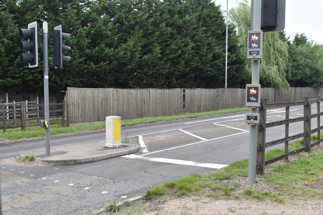
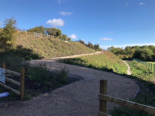
Cossall Marsh offers visitors a chance to explore its serene surroundings through a network of well-maintained footpaths and nature trails. With its idyllic scenery, the marsh provides a tranquil escape from the bustling city life, attracting both locals and tourists seeking solace in nature.
Overall, Cossall Marsh in Nottinghamshire offers a unique and diverse natural environment, showcasing the beauty of the British countryside and providing a haven for wildlife lovers.
If you have any feedback on the listing, please let us know in the comments section below.
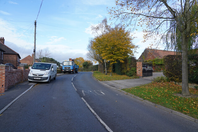
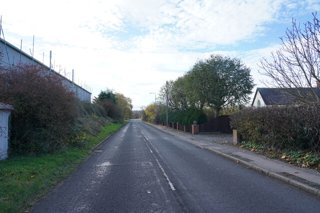
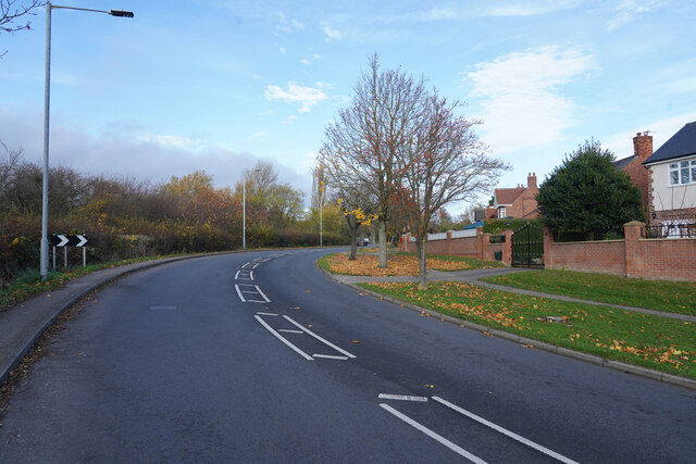
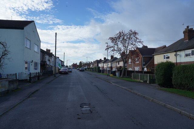
Cossall Marsh Images
Images are sourced within 2km of 52.981081/-1.285995 or Grid Reference SK4842. Thanks to Geograph Open Source API. All images are credited.
Cossall Marsh is located at Grid Ref: SK4842 (Lat: 52.981081, Lng: -1.285995)
Administrative County: Nottinghamshire
District: Broxtowe
Police Authority: Nottinghamshire
What 3 Words
///dragon.nails.about. Near Awsworth, Nottinghamshire
Nearby Locations
Related Wikis

Ilkeston railway station
Ilkeston railway station serves the town of Ilkeston, Derbyshire, England. It is located at the site of the former Ilkeston Junction and Cossall station...

Cossall
Cossall is a village and civil parish 1 mile (1.6 km) east of Ilkeston in Nottinghamshire, England. The 2001 Census recorded a parish population of 612...

Ilkeston Junction and Cossall railway station
Ilkeston Junction and Cossall railway station was a railway station which served the town of Ilkeston in Derbyshire, England. == History == It was opened...

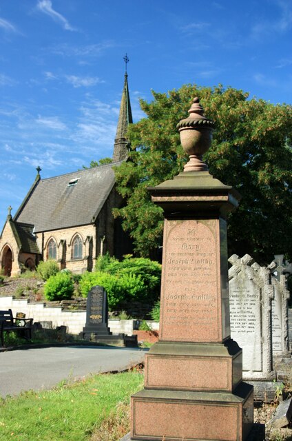
St Catherine's Church, Cossall
St Catherine's Church, Cossall is a Grade II* listed parish church in the Church of England in Cossall, Nottinghamshire, England. == History == The church...
Related Videos


canel walking
ilkeston walking with dog down erewash canel path.
Ilkeston canel walking newton's erewash canel
canel walking.
Nearby Amenities
Located within 500m of 52.981081,-1.285995Have you been to Cossall Marsh?
Leave your review of Cossall Marsh below (or comments, questions and feedback).