Cossall
Settlement in Nottinghamshire Broxtowe
England
Cossall
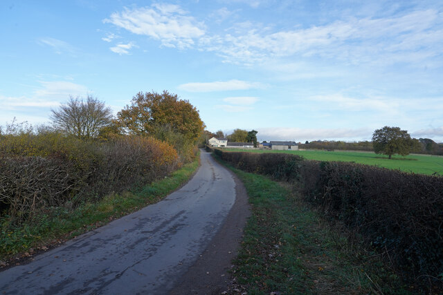
Cossall is a small village located in the Broxtowe borough of Nottinghamshire, England. Situated approximately 10 miles northwest of Nottingham, Cossall is known for its rural charm and picturesque surroundings. The village is bordered by the towns of Ilkeston to the north and Stapleford to the south.
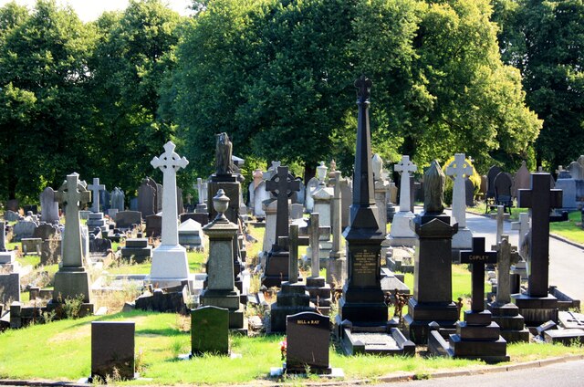
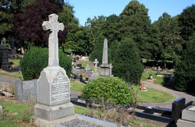
Cossall has a rich history, with evidence of human settlement dating back to the prehistoric era. The village was recorded in the Domesday Book of 1086, highlighting its significance even in medieval times. Today, Cossall retains its quaint and traditional character, with a mix of old cottages and more modern homes.
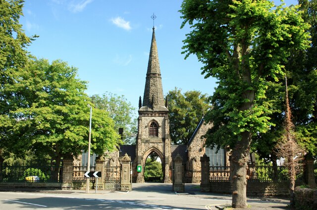
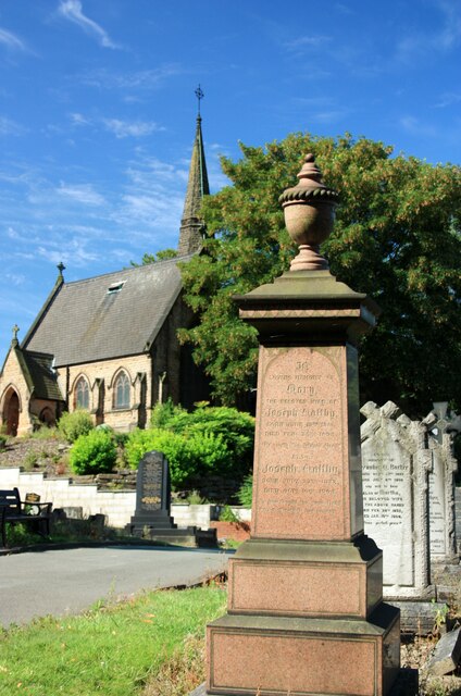
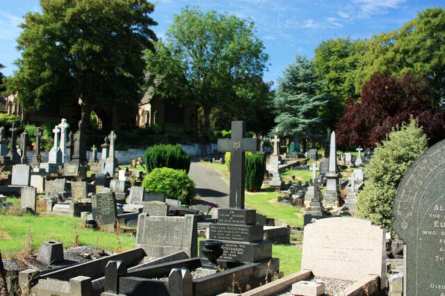
The village is home to the Grade II listed Cossall Church, dedicated to St. Catherine, which dates back to the 13th century. The church boasts beautiful stained glass windows and a striking spire, making it a popular attraction for visitors. Additionally, Cossall has a local primary school, providing education for the village's younger residents.
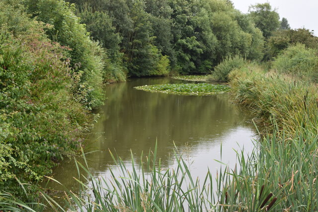
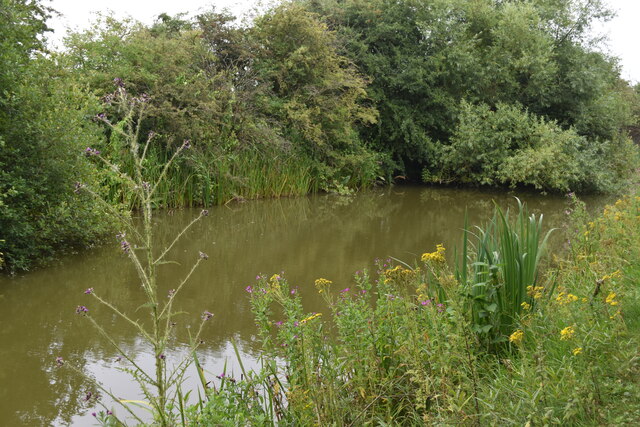
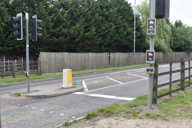
Cossall's location also offers easy access to the nearby countryside, including the Attenborough Nature Reserve, where visitors can enjoy scenic walks and observe various bird species. The village is well-connected, with regular bus services to neighboring towns and cities.
In terms of amenities, Cossall has a village hall and a local pub, providing a sense of community for its residents. The village's peaceful atmosphere and close-knit community make it an attractive place to live for those seeking a quieter and more rural lifestyle.
If you have any feedback on the listing, please let us know in the comments section below.
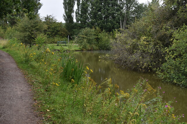
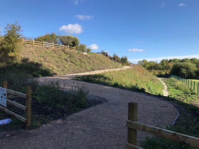
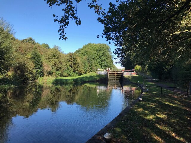
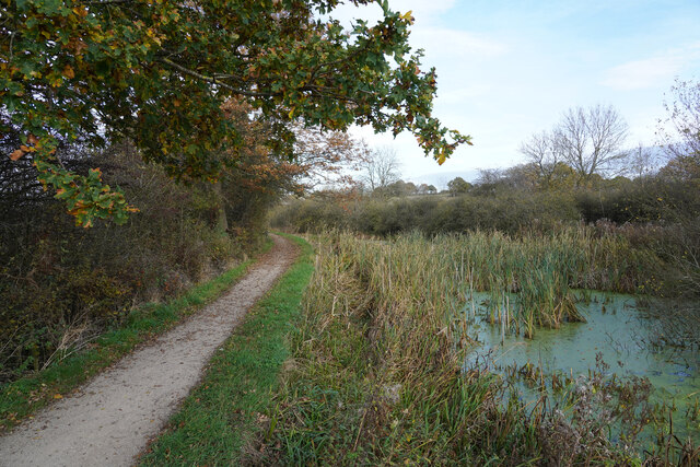
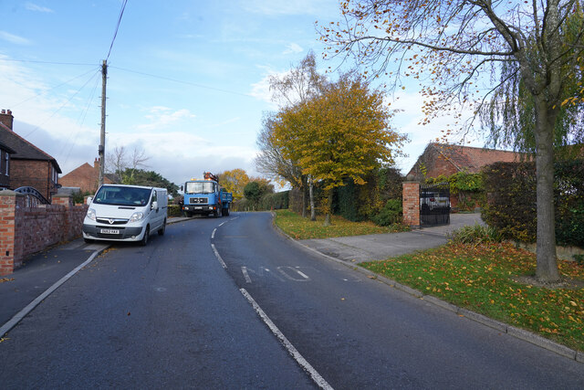
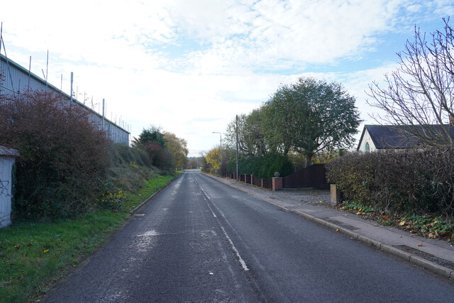
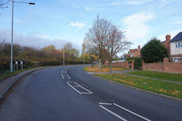
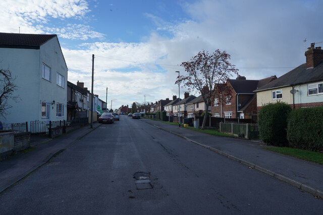
Cossall Images
Images are sourced within 2km of 52.977162/-1.284615 or Grid Reference SK4842. Thanks to Geograph Open Source API. All images are credited.
Cossall is located at Grid Ref: SK4842 (Lat: 52.977162, Lng: -1.284615)
Administrative County: Nottinghamshire
District: Broxtowe
Police Authority: Nottinghamshire
What 3 Words
///acting.villa.sticky. Near Awsworth, Nottinghamshire
Nearby Locations
Related Wikis

Cossall
Cossall is a village and civil parish 1 mile (1.6 km) east of Ilkeston in Nottinghamshire, England. The 2001 Census recorded a parish population of 612...
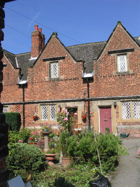
Willoughby Almshouses
The Willoughby Almshouses were erected in 1685 in Cossall, Nottinghamshire, England.These were originally for "4 single poor men over 60 years of age and...

St Catherine's Church, Cossall
St Catherine's Church, Cossall is a Grade II* listed parish church in the Church of England in Cossall, Nottinghamshire, England. == History == The church...

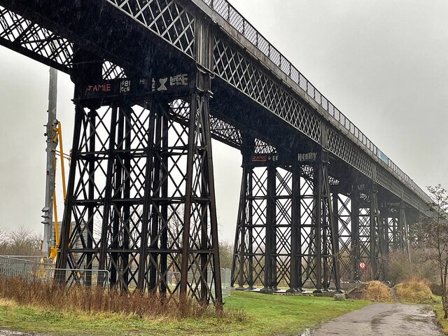
Ilkeston Junction and Cossall railway station
Ilkeston Junction and Cossall railway station was a railway station which served the town of Ilkeston in Derbyshire, England. == History == It was opened...
Nearby Amenities
Located within 500m of 52.977162,-1.284615Have you been to Cossall?
Leave your review of Cossall below (or comments, questions and feedback).