Cossington
Settlement in Leicestershire Charnwood
England
Cossington
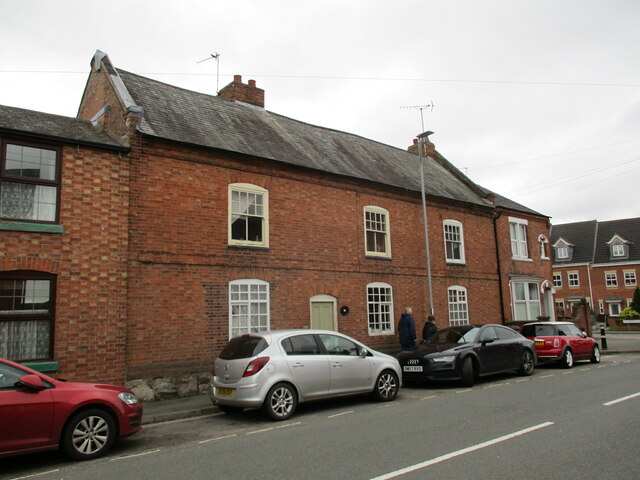
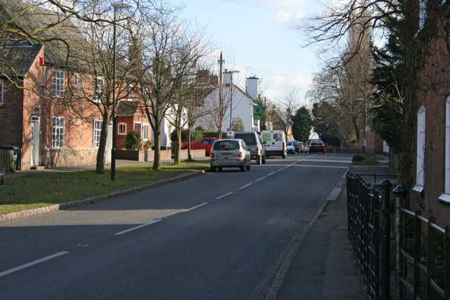
Cossington is a small village located in Leicestershire, England. Situated approximately 6 miles north of the city of Leicester, Cossington is a rural village with a population of around 1,000 residents. The village is known for its picturesque countryside, charming cottages, and friendly community atmosphere.
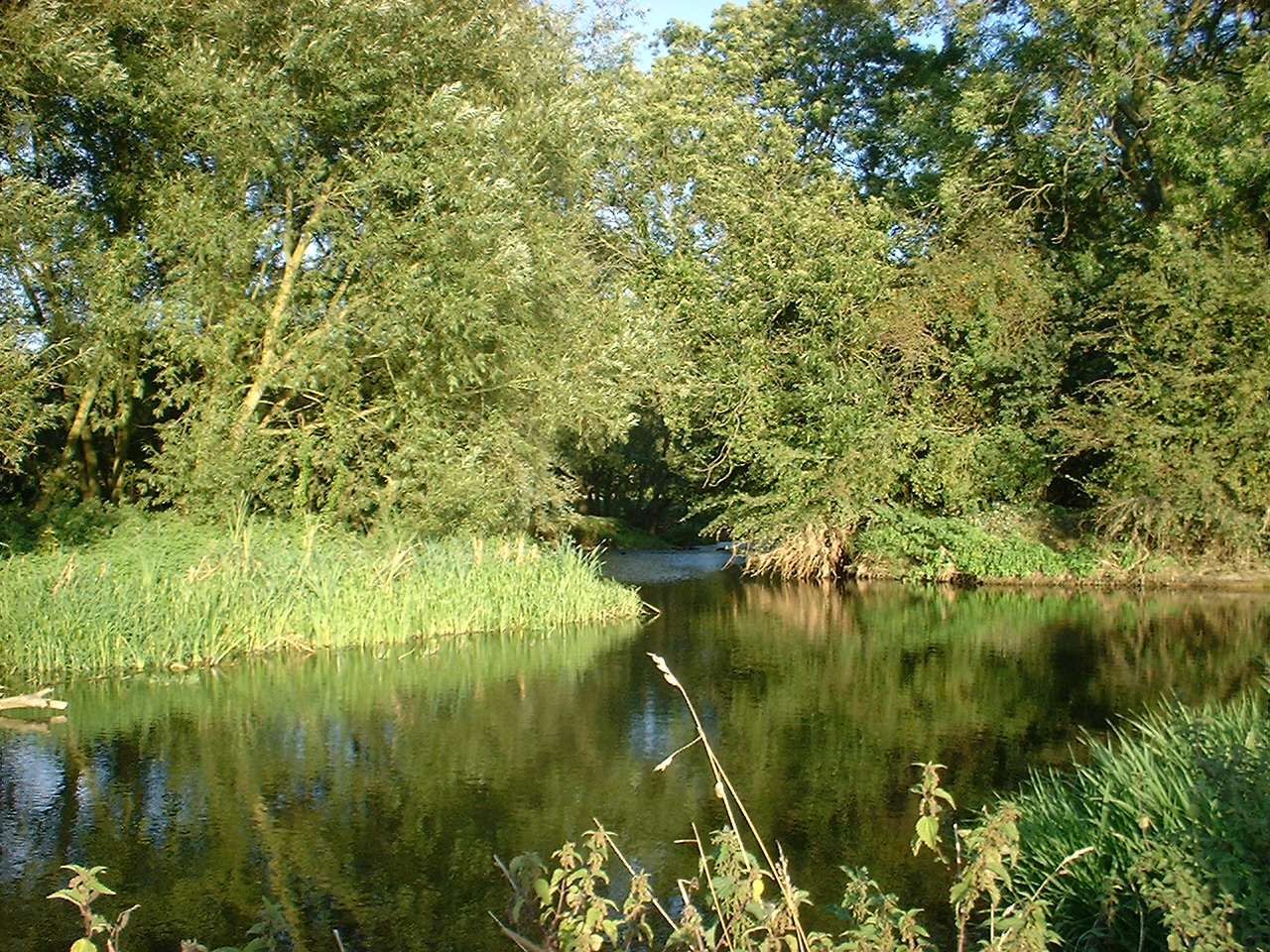
Cossington is surrounded by farmland and open countryside, making it an ideal location for those who enjoy outdoor activities such as walking, cycling, and horse riding. The village is also home to a number of historic buildings, including St. Mary's Church which dates back to the 13th century.
In terms of amenities, Cossington has a village hall, a pub, a primary school, and a small number of shops and businesses. The village is well-connected by road, with easy access to the nearby towns of Loughborough and Melton Mowbray.
Overall, Cossington is a peaceful and idyllic village that offers a high quality of life for its residents. Its rural setting and strong sense of community make it a popular choice for those looking to escape the hustle and bustle of city life.
If you have any feedback on the listing, please let us know in the comments section below.
Cossington Images
Images are sourced within 2km of 52.716801/-1.10587 or Grid Reference SK6013. Thanks to Geograph Open Source API. All images are credited.


Cossington is located at Grid Ref: SK6013 (Lat: 52.716801, Lng: -1.10587)
Administrative County: Leicestershire
District: Charnwood
Police Authority: Leicestershire
What 3 Words
///montage.cabbage.helpfully. Near Sileby, Leicestershire
Nearby Locations
Related Wikis
Cossington, Leicestershire
Cossington is a village within the Soar Valley in Leicestershire, England. It lies between Sileby, Rothley, Ratcliffe-on-the-Wreake and Syston. The population...

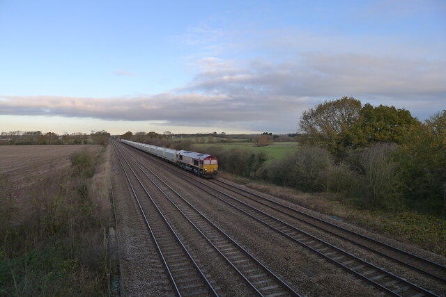
Cossington Gate railway station
Cossington Gate railway station was a small station serving Cossington village in Leicestershire. It served the Midland Counties Railway, built in 1840...
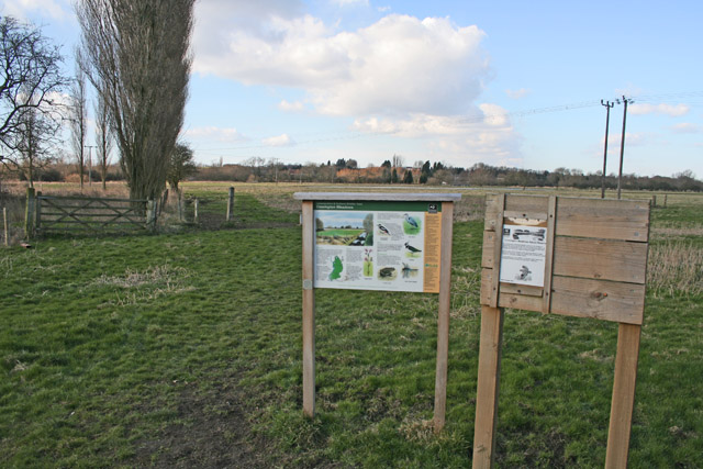
Cossington Meadows
Cossington Meadows is an 88.9 hectares (220 acres) nature reserve west of Cossington in Leicestershire. It is managed by the Leicestershire and Rutland...
River Wreake
The River Wreake is a river in Leicestershire, England. It is a tributary of the River Soar. The river between Stapleford Park and Melton Mowbray is known...
Nearby Amenities
Located within 500m of 52.716801,-1.10587Have you been to Cossington?
Leave your review of Cossington below (or comments, questions and feedback).