Cossington
Civil Parish in Leicestershire Charnwood
England
Cossington

Cossington is a civil parish located in the county of Leicestershire, England. It is situated approximately 7 miles north of the city of Leicester and is part of the Charnwood district. The parish covers an area of around 2.7 square miles and has a population of around 600 residents.
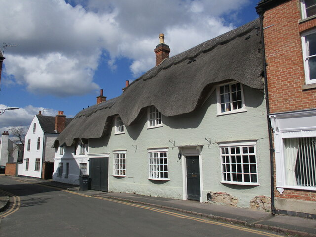
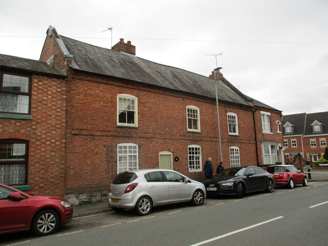
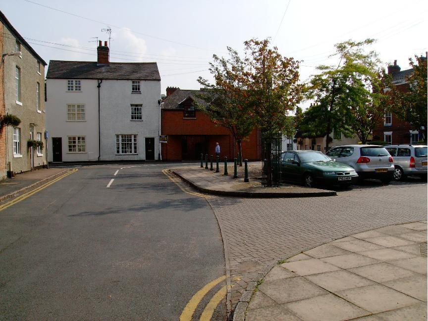
The village of Cossington itself is known for its picturesque rural setting, surrounded by rolling countryside and farmland. It has a rich history, with evidence of settlements dating back to the Roman period. The village features a mix of architectural styles, including traditional thatched cottages and more modern buildings.
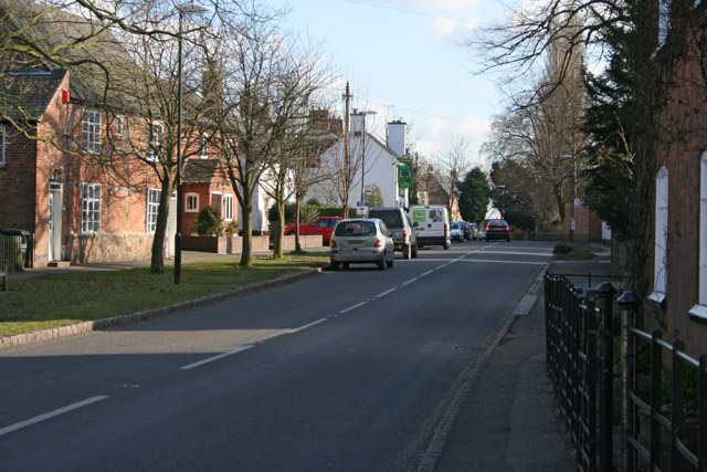
Cossington is a close-knit community, with several amenities that serve the needs of its residents. These include a village hall, a primary school, a post office, and a local pub. The village also has a church, St. Mary's, which dates back to the 13th century and is a notable historical landmark.
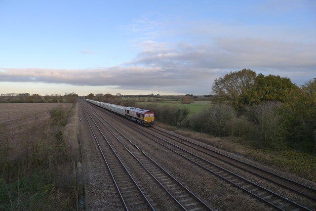
The surrounding area offers plenty of opportunities for outdoor activities, with various footpaths and bridleways that allow residents and visitors to explore the beautiful countryside. The nearby River Soar provides opportunities for boating and fishing.
Transport links in Cossington are convenient, with easy access to the A6 road and the nearby Leicester North railway station. The village is also well-connected to neighboring towns and cities, making it an attractive place to live for those seeking a balance between rural living and easy access to urban amenities.
If you have any feedback on the listing, please let us know in the comments section below.
Cossington Images
Images are sourced within 2km of 52.714662/-1.0941 or Grid Reference SK6113. Thanks to Geograph Open Source API. All images are credited.


Cossington is located at Grid Ref: SK6113 (Lat: 52.714662, Lng: -1.0941)
Administrative County: Leicestershire
District: Charnwood
Police Authority: Leicestershire
What 3 Words
///outright.enjoys.passively. Near Sileby, Leicestershire
Nearby Locations
Related Wikis

Cossington Gate railway station
Cossington Gate railway station was a small station serving Cossington village in Leicestershire. It served the Midland Counties Railway, built in 1840...
Cossington, Leicestershire
Cossington is a village within the Soar Valley in Leicestershire, England. It lies between Sileby, Rothley, Ratcliffe-on-the-Wreake and Syston. The population...
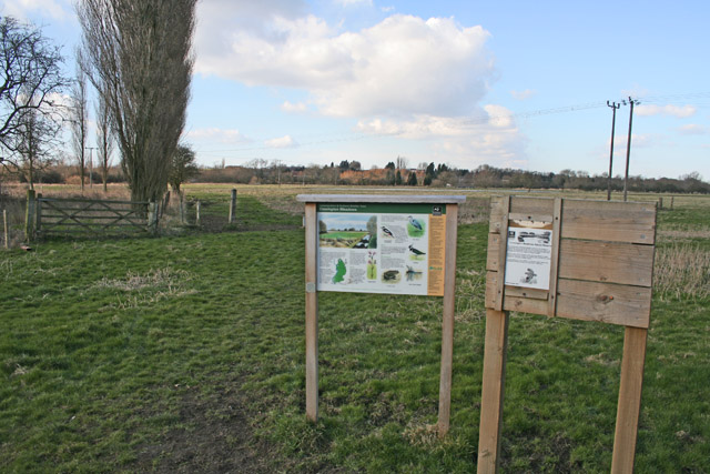
Cossington Meadows
Cossington Meadows is an 88.9 hectares (220 acres) nature reserve west of Cossington in Leicestershire. It is managed by the Leicestershire and Rutland...
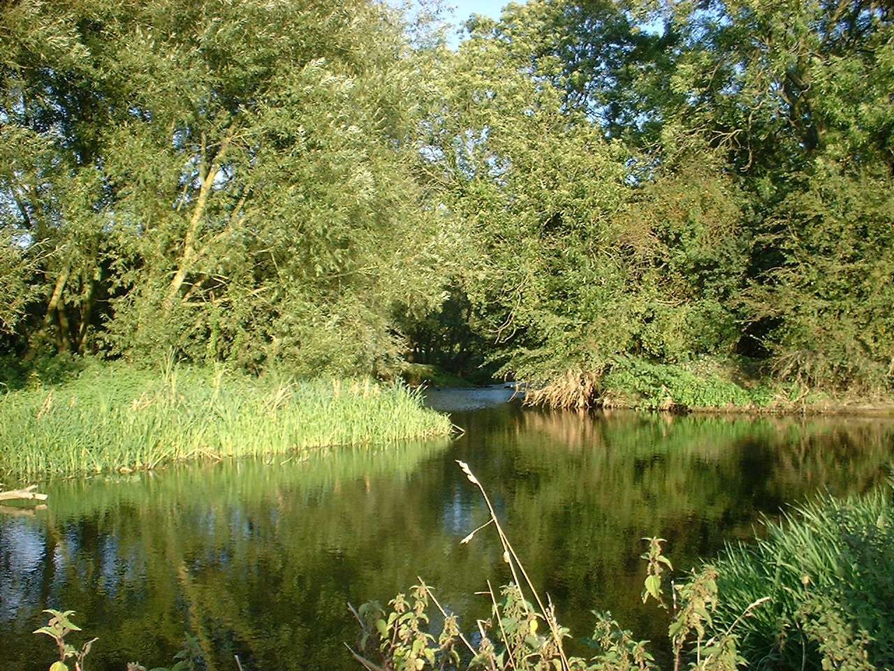
River Wreake
The River Wreake is a river in Leicestershire, England. It is a tributary of the River Soar. The river between Stapleford Park and Melton Mowbray is known...
Syston
Syston ( SY-stən) is a town and civil parish in the district of Charnwood in Leicestershire, England. The population was 11,508 at the 2001 census, rising...
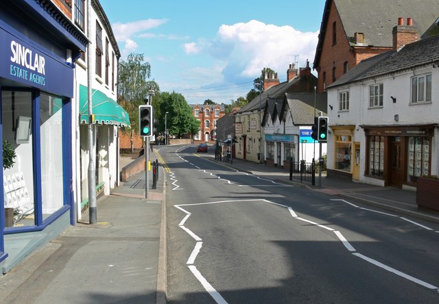
Sileby
Sileby is a former industrial village and civil parish in the Soar Valley in the Charnwood borough of Leicestershire, England. It is located between Leicester...

St Peter & St Paul's Church, Syston
St Peter and St Paul's Church, Syston is a Grade I listed parish church in the Church of England in Syston, Leicestershire. == History == The earliest...
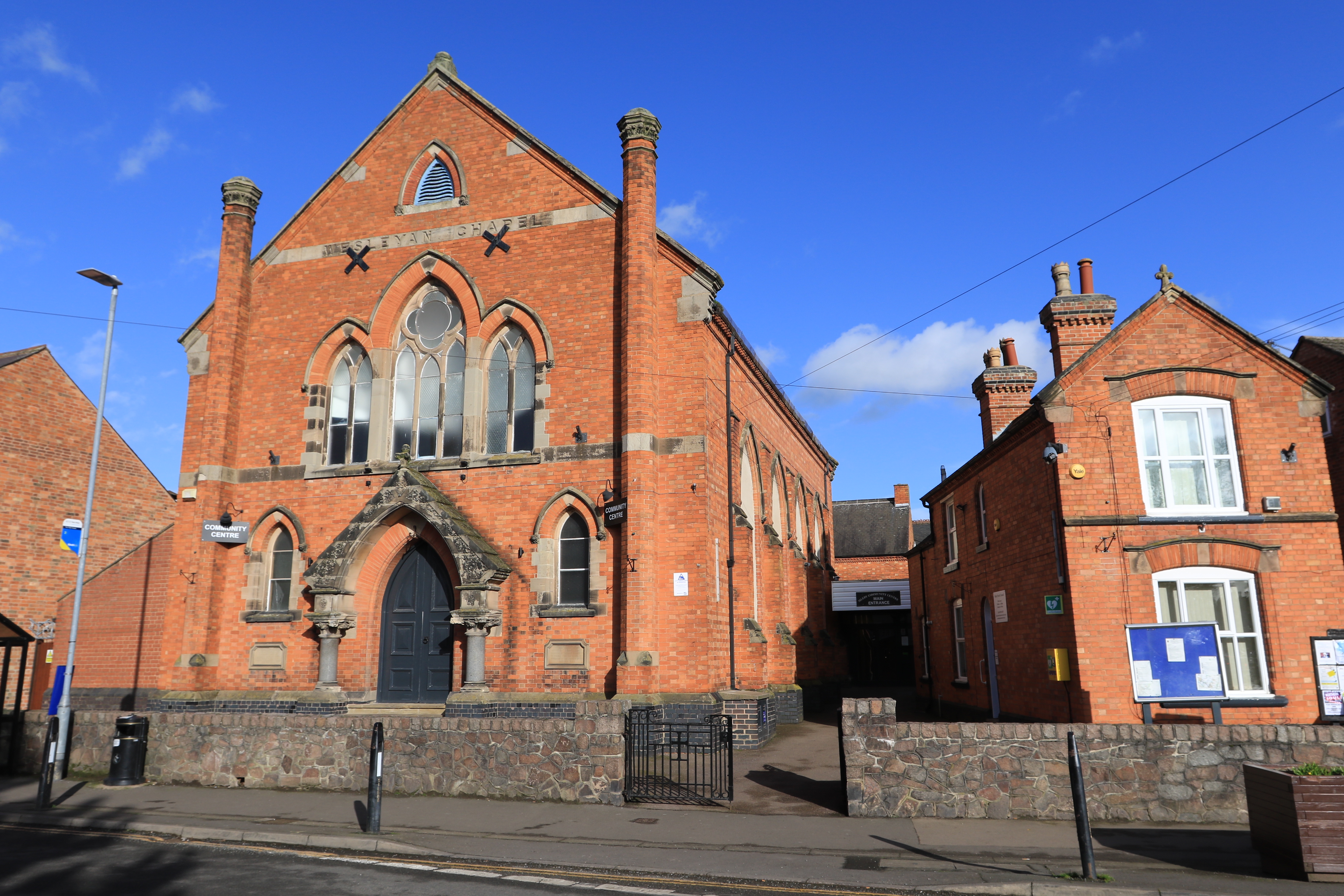
Sileby Wesleyan Methodist Church
Sileby Wesleyan Methodist Church is a former Methodist church in Sileby, Leicestershire. == History == Methodism in Sileby started around 1791 when a cottage...
Nearby Amenities
Located within 500m of 52.714662,-1.0941Have you been to Cossington?
Leave your review of Cossington below (or comments, questions and feedback).