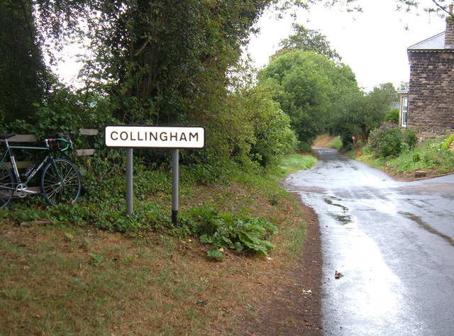
Collingham
Civil Parish in Yorkshire Leeds
England
Collingham
Collingham is a civil parish situated in the county of Yorkshire, in the northern region of England. It is located approximately 5 miles northeast of Wetherby, a market town, and around 14 miles southwest of the historic city of York. The parish encompasses an area of about 6 square miles and is home to a population of around 2,500 residents.
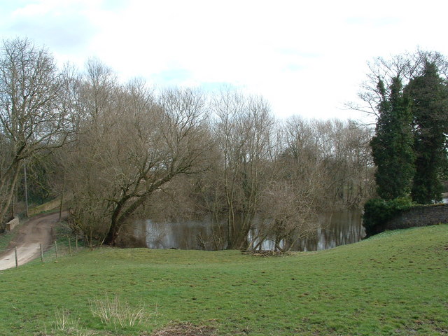
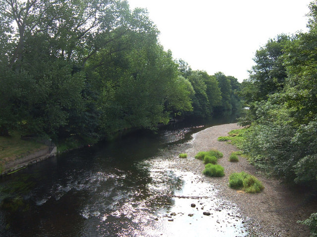
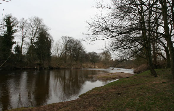
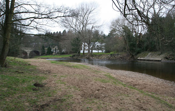
The village of Collingham itself is situated on the banks of the River Wharfe and is known for its picturesque setting and charming, traditional architecture. It consists of a mix of old stone buildings, including some dating back to the 17th century, as well as more modern developments.
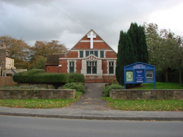
Collingham offers a range of amenities and services to its residents, including a primary school, a medical practice, a post office, several shops, and a community center. The parish also boasts a number of local pubs and restaurants, providing options for leisure and dining.
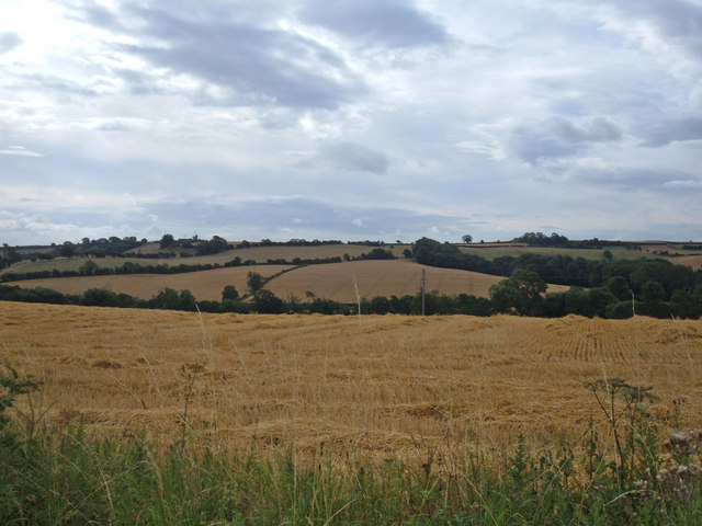
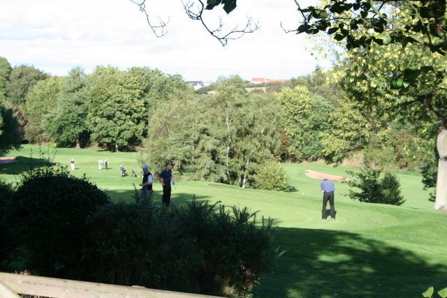
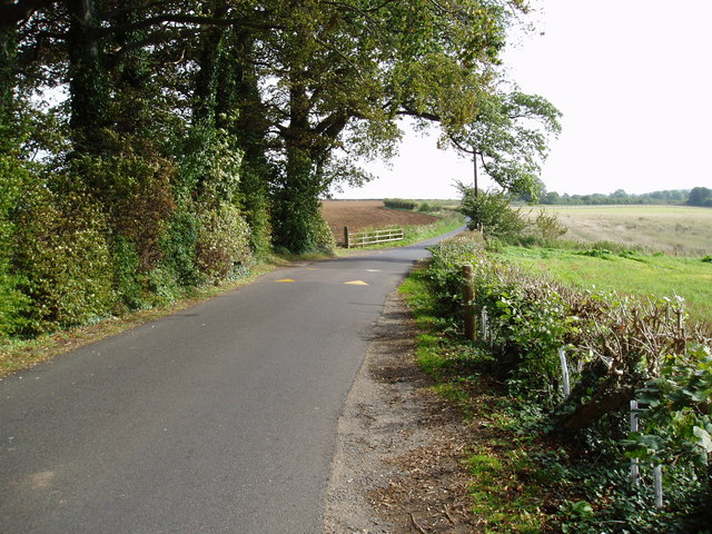
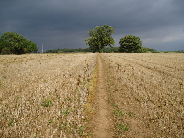
The surrounding countryside provides ample opportunities for outdoor activities and exploration. The nearby Harewood House, a stately home and gardens, is a popular attraction for locals and visitors alike. Additionally, the River Wharfe offers opportunities for boating and fishing.
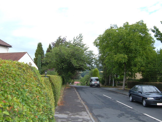
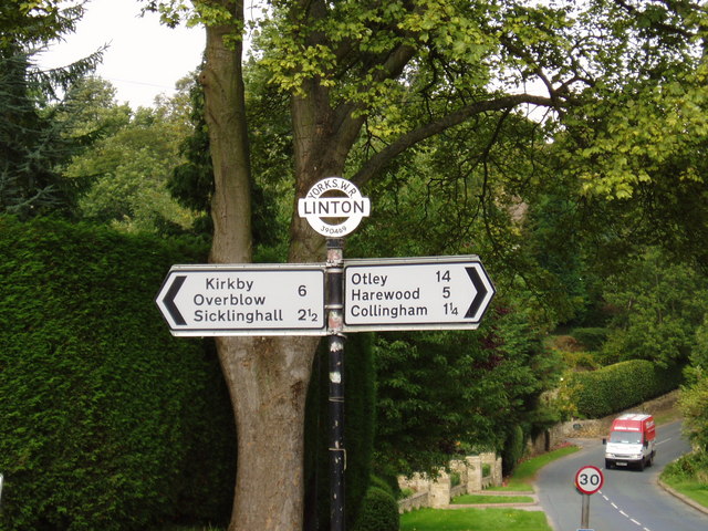
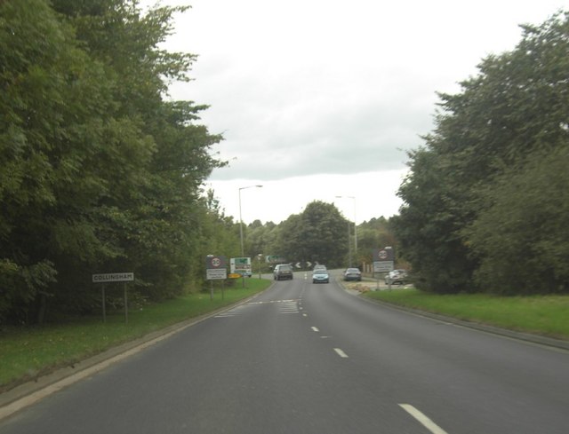
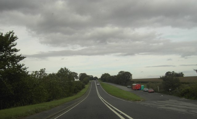
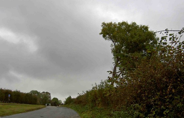
Collingham benefits from good transport links, with the A58 road passing through the parish, connecting it to nearby towns and cities. The village also has a railway station, providing regular services to Leeds, York, and other destinations.
Overall, Collingham is a peaceful and picturesque village in Yorkshire, offering a pleasant rural lifestyle and a strong sense of community.
If you have any feedback on the listing, please let us know in the comments section below.
Collingham Images
Images are sourced within 2km of 53.908032/-1.408301 or Grid Reference SE3845. Thanks to Geograph Open Source API. All images are credited.
Collingham is located at Grid Ref: SE3845 (Lat: 53.908032, Lng: -1.408301)
Division: West Riding
Administrative County: West Yorkshire
District: Leeds
Police Authority: West Yorkshire
What 3 Words
///boost.swerving.viewer. Near Collingham, West Yorkshire
Nearby Locations
Related Wikis
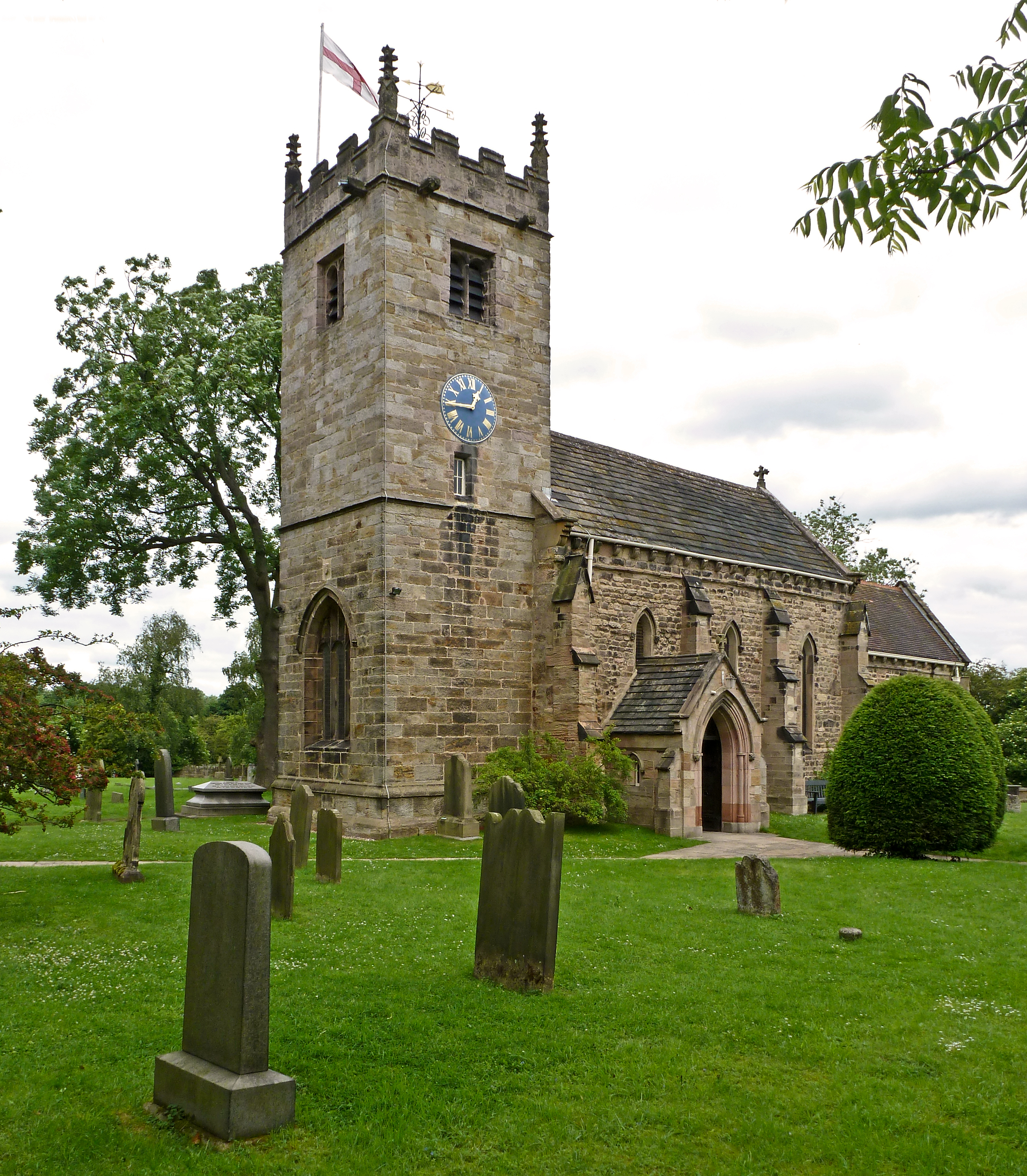
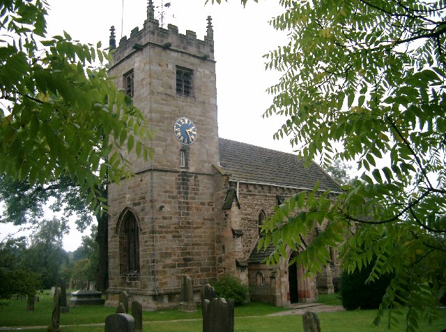
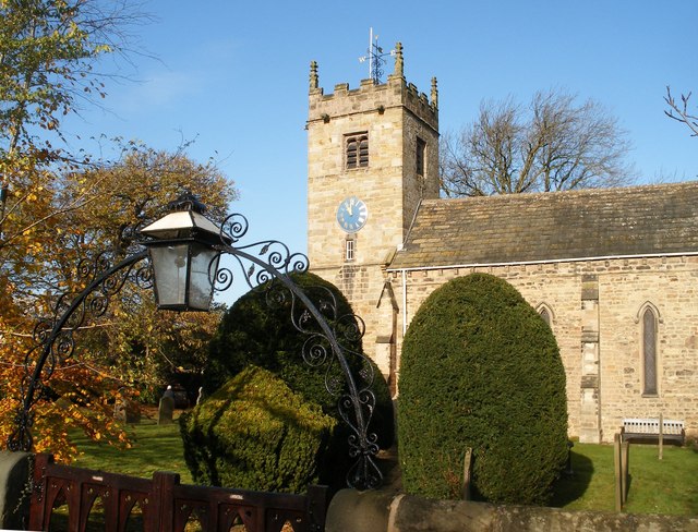
St Oswald's Church, Collingham
St Oswald's Church is an active Anglican church in Collingham, West Yorkshire, England. It is in the Harrogate deanery and Diocese of Leeds. The church...
Collingham, West Yorkshire
Collingham is a village and civil parish 2 miles (3 km) south-west of Wetherby in West Yorkshire, England. It is in the City of Leeds metropolitan borough...
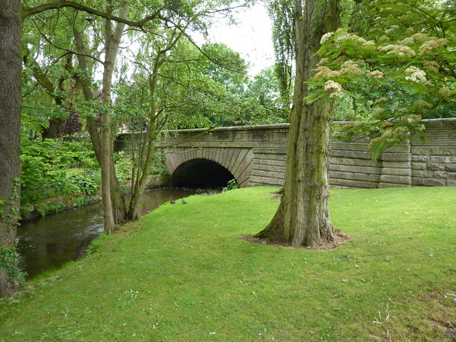
Collingham Bridge
Collingham Bridge is a road bridge that spans the Collingham Beck, a tributary of the River Wharfe on Harewood Road in Collingham, West Yorkshire, England...

Collingham Bridge railway station
Collingham Bridge railway station was a railway station serving the villages of Collingham and Linton in West Yorkshire, England. The station opened on...
Nearby Amenities
Located within 500m of 53.908032,-1.408301Have you been to Collingham?
Leave your review of Collingham below (or comments, questions and feedback).