Collingham
Civil Parish in Nottinghamshire Newark and Sherwood
England
Collingham
Collingham is a civil parish located in Nottinghamshire, England. Situated approximately 6 miles southwest of the city of Newark-on-Trent, Collingham is a small village with a population of around 2,500 residents. The parish covers an area of about 1,482 acres.
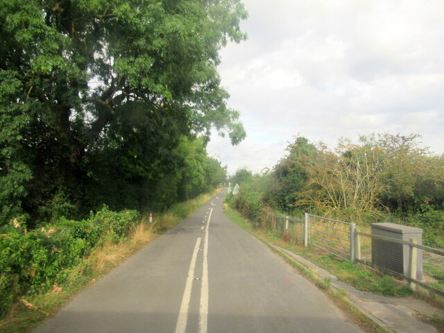
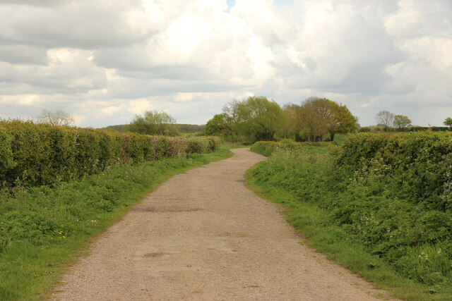
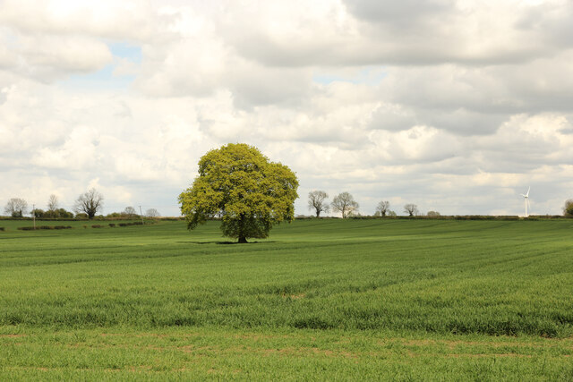
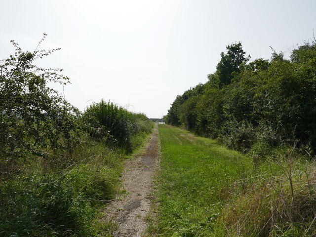
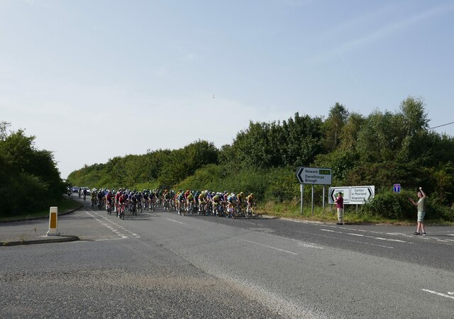
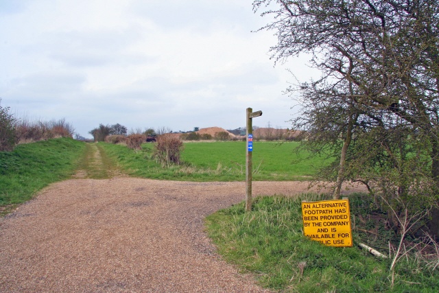
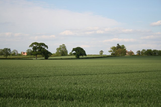
The village is known for its picturesque countryside, with the River Trent flowing nearby. It is a popular destination for nature lovers and outdoor enthusiasts, offering opportunities for walking, cycling, and boating along the river. Collingham also benefits from its proximity to several nature reserves and country parks, such as Besthorpe Nature Reserve and Girton Pits.
The village has a rich history, with evidence of human settlement dating back to the Roman period. There are several historic buildings and landmarks in Collingham, including St. John the Baptist Church, which dates back to the 12th century. The church is a Grade I listed building and features a Norman tower and a rare medieval carved stone font.
Collingham has a close-knit community and offers a range of amenities and services for its residents. These include a primary school, a medical center, a post office, a library, and a variety of shops and local businesses. The village also has a community center that hosts various social and recreational activities.
Overall, Collingham is a charming village that combines natural beauty, a rich history, and a strong sense of community, making it an attractive place to live and visit.
If you have any feedback on the listing, please let us know in the comments section below.
Collingham Images
Images are sourced within 2km of 53.136555/-0.752522 or Grid Reference SK8360. Thanks to Geograph Open Source API. All images are credited.


Collingham is located at Grid Ref: SK8360 (Lat: 53.136555, Lng: -0.752522)
Administrative County: Nottinghamshire
District: Newark and Sherwood
Police Authority: Nottinghamshire
What 3 Words
///whites.immune.trainer. Near South Collingham, Nottinghamshire
Nearby Locations
Related Wikis
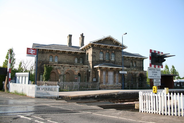
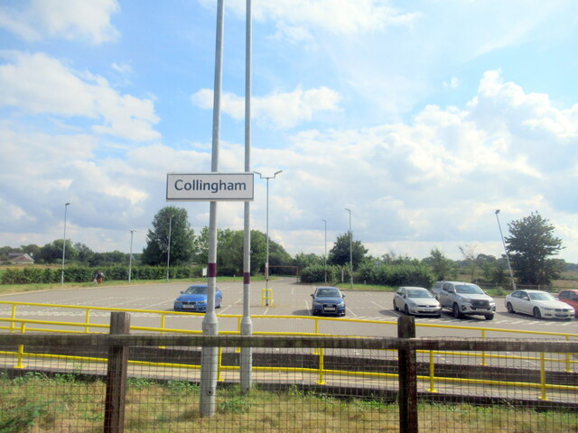
Collingham railway station
Collingham railway station is in the village of Collingham, Nottinghamshire, England, on the Nottingham to Lincoln Line. It is owned by Network Rail and...

Newark Town F.C.
Newark Town Football Club is a football club from Newark on Trent. They are currently members of the United Counties League Division One. == History... ==
Newark and Sherwood United F.C.
Newark and Sherwood United F.C. is a football club that represents the town of Newark-on-Trent, Nottinghamshire but were based in Balderton. They are currently...

Collingham F.C. (Nottinghamshire)
Collingham Football Club is a football club based in Collingham, Nottinghamshire, England. They are currently members of the Nottinghamshire Senior League...
Nearby Amenities
Located within 500m of 53.136555,-0.752522Have you been to Collingham?
Leave your review of Collingham below (or comments, questions and feedback).