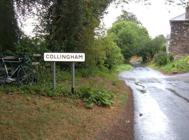
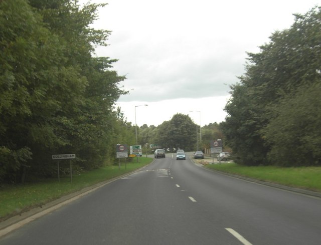
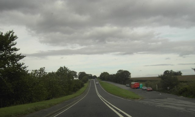
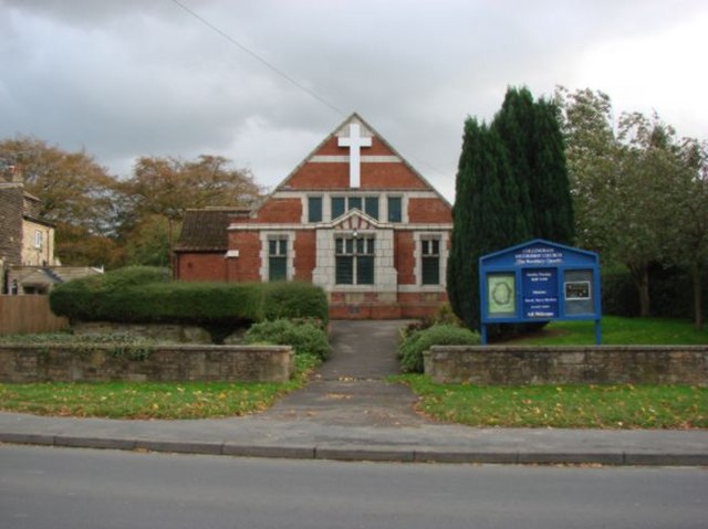
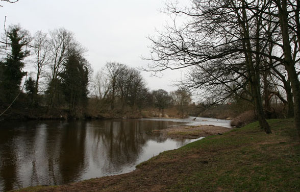
Collingham
Settlement in Yorkshire
England
Collingham
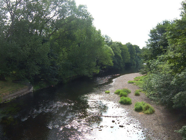
Collingham is a picturesque village located in West Yorkshire, England. It is situated approximately 8 miles northeast of the city of Leeds and within close proximity to the River Wharfe. With a population of around 2,500 residents, Collingham offers a tranquil and friendly community atmosphere.
The village is steeped in history, with records dating back to the Domesday Book of 1086. Its name is derived from the Old English words "Colne" and "ham," which mean "river" and "homestead" respectively. This highlights the village's close association with the river and its agricultural heritage.
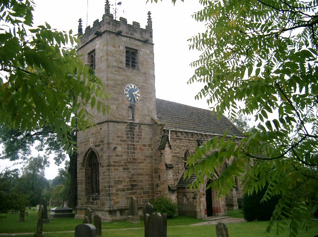
Collingham boasts an array of charming stone houses, many of which are centuries old, giving the village a quintessentially English ambiance. The local St. Oswald's Church, dating back to the 12th century, is a prominent landmark in the area. The church features beautiful stained glass windows and a peaceful churchyard.
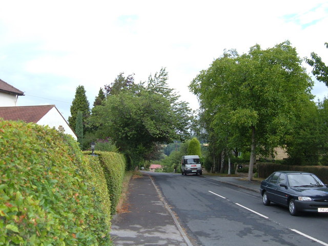
The village offers a range of amenities, including a primary school, village hall, shops, and pubs, making it a self-sufficient community. Its convenient location provides easy access to neighboring towns and cities, making it an attractive place for commuters.
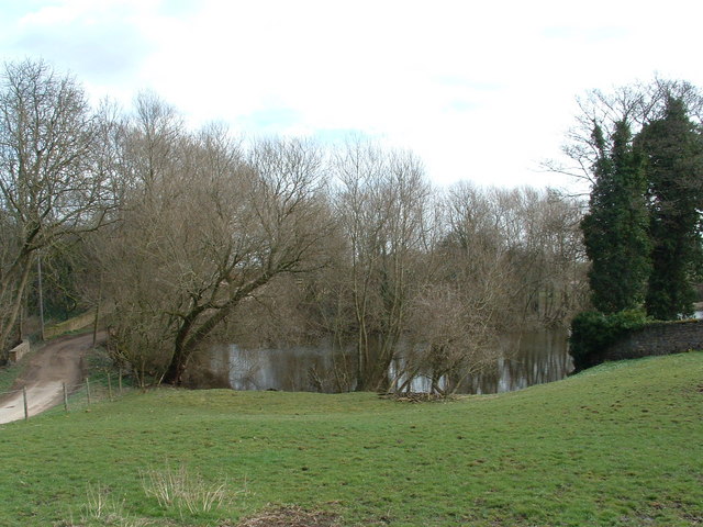
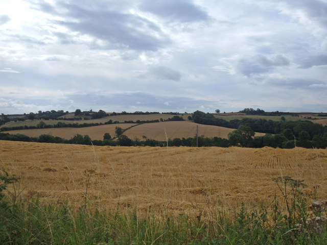
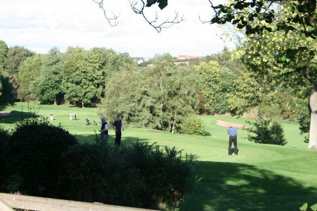
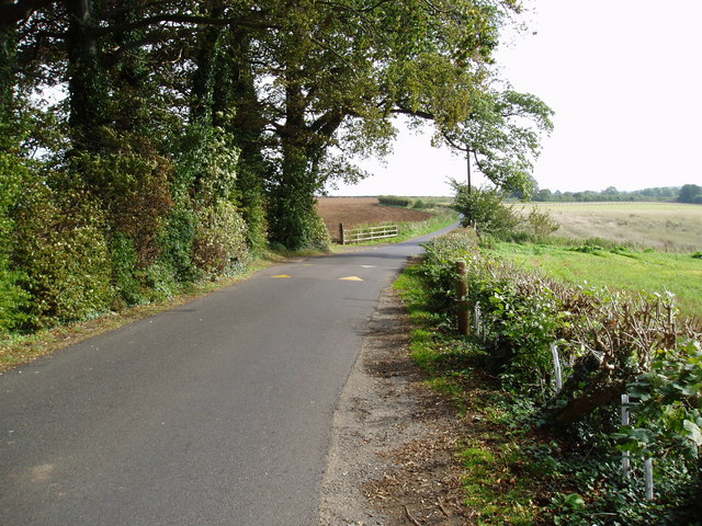
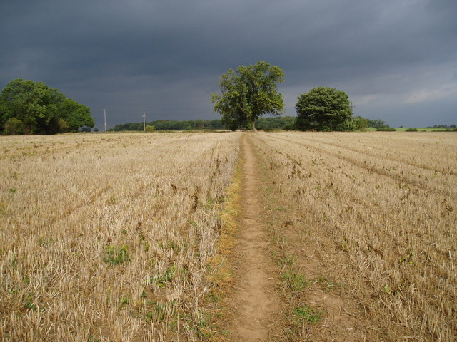
Collingham is surrounded by stunning countryside, providing ample opportunities for outdoor activities such as walking, cycling, and fishing. The nearby Harewood House, a grand estate with magnificent gardens and parkland, is a popular destination for locals and tourists alike.
With its rich history, beautiful surroundings, and close-knit community, Collingham is a charming village that offers a peaceful and idyllic lifestyle for its residents.
If you have any feedback on the listing, please let us know in the comments section below.
Collingham Images
Images are sourced within 2km of 53.908137/-1.4112768 or Grid Reference SE3845. Thanks to Geograph Open Source API. All images are credited.
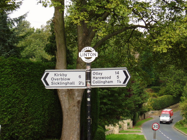
Collingham is located at Grid Ref: SE3845 (Lat: 53.908137, Lng: -1.4112768)
Division: West Riding
Unitary Authority: Leeds
Police Authority: West Yorkshire
What 3 Words
///imprinted.plump.feel. Near Collingham, West Yorkshire
Nearby Locations
Related Wikis
Collingham, West Yorkshire
Collingham is a village and civil parish 2 miles (3 km) south-west of Wetherby in West Yorkshire, England. It is in the City of Leeds metropolitan borough...
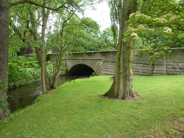
Collingham Bridge
Collingham Bridge is a road bridge that spans the Collingham Beck, a tributary of the River Wharfe on Harewood Road in Collingham, West Yorkshire, England...
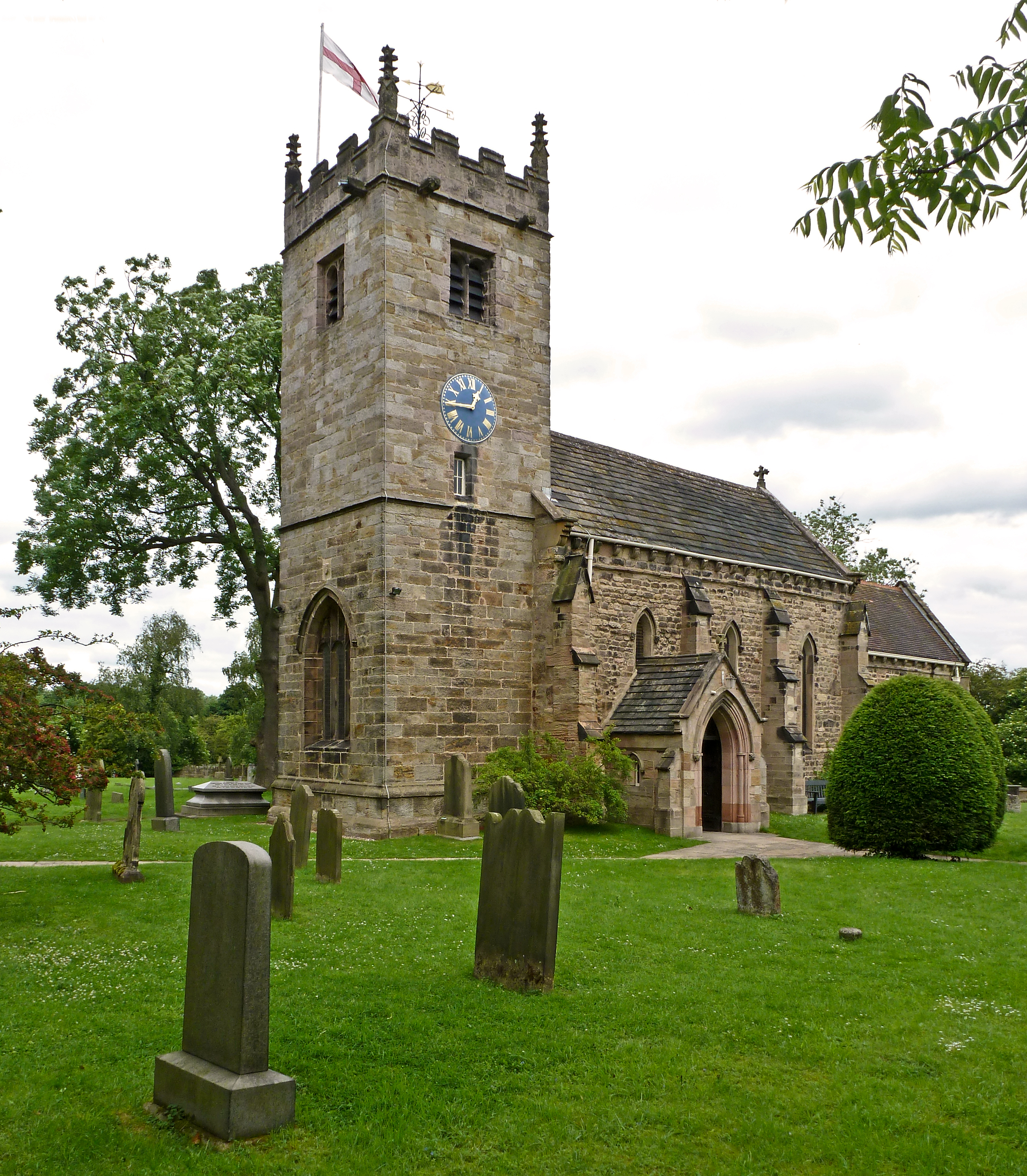
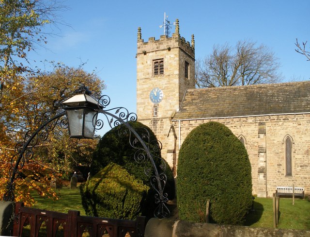
St Oswald's Church, Collingham
St Oswald's Church is an active Anglican church in Collingham, West Yorkshire, England. It is in the Harrogate deanery and Diocese of Leeds. The church...

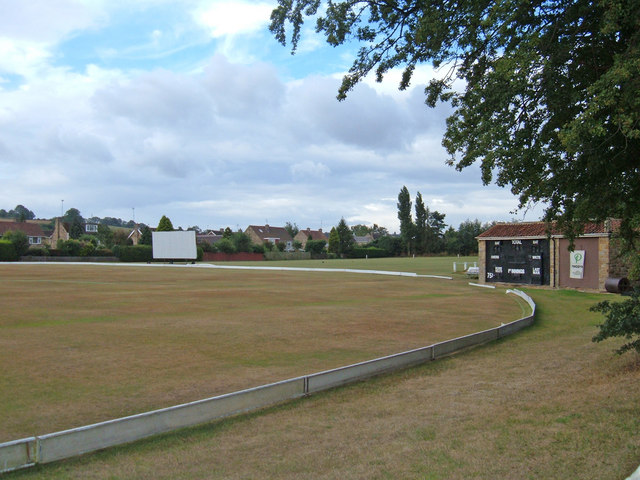
Collingham and Linton Cricket Club Ground
Collingham and Linton Cricket Club is a cricket ground in Collingham, West Yorkshire. The first recorded match on the ground was in 1896. In 1986 the...
Related Videos
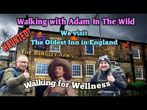
Walking with Adam In The Wild and a Haunted Pub #leeds #ghosts #hauntedpub#ellofawalk
I met up with Adam for a walk and we finished at The Bingley Arms. The hospitality we recieved was second to none along with ...

A revisit to Ox Close Wood and its beautiful river #walkingforwellness #woodland #ellofawalk
It's time to revisit this beautiful woodland after filming here some time ago. A great place to walk and explore with lovely beach ...

A walk round Ox Close Woods #woodland #walkingforwellnesss #rivers #wildlife #ellofawalk
A Gem Of A Walk around Ox Close Woods https://www.facebook.com/groups/932733063906321/?ref=share.

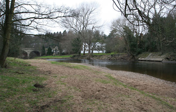
River Wharfe Collingham
A swim with friends in the River Wharfe in Collingham. Starting from the car park by the river at LS22 5BS.
Nearby Amenities
Located within 500m of 53.908137,-1.4112768Have you been to Collingham?
Leave your review of Collingham below (or comments, questions and feedback).