Collingbourne Kingston

Settlement in Wiltshire

England

Collingbourne Kingston

Farmland, Collingbourne Kingston A crop of beans and the copse on Thornhill Down.
Farmland, Collingbourne Kingston Credit: Andrew Smith

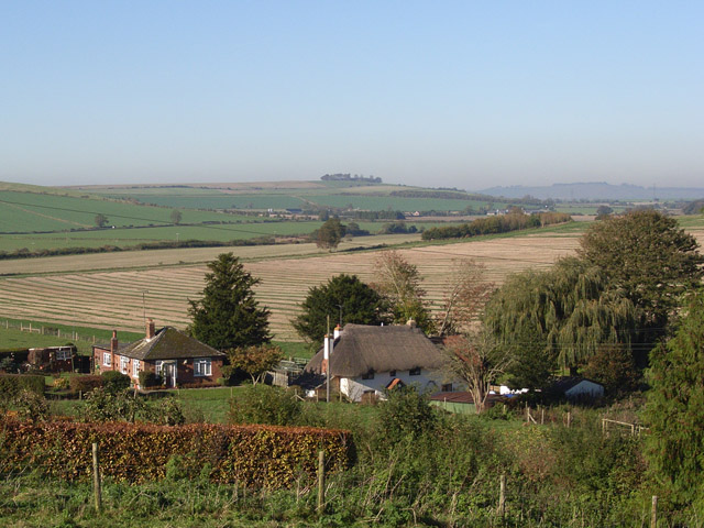
Collingbourne Kingston is a small village located in the county of Wiltshire, England. It is situated in the picturesque countryside, surrounded by rolling hills and farmland. The village is part of the civil parish of Collingbourne Ducis, and it is approximately 10 miles south of the town of Marlborough.

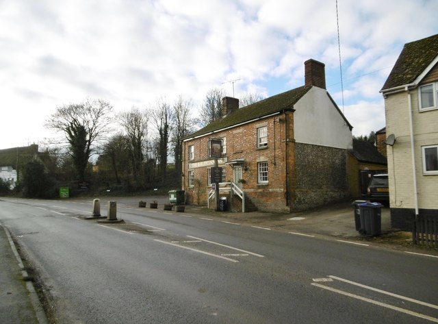
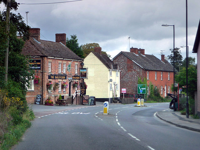
The history of Collingbourne Kingston can be traced back to the Domesday Book, where it is mentioned as "Chollingeburne." The village has a charming and traditional English character, with many old buildings and thatched cottages lining its streets. The parish church, St. Mary's, is a prominent feature in the village, dating back to the 13th century.

Despite its small size, Collingbourne Kingston offers a range of amenities for its residents. These include a primary school, a village hall, a post office, and a local pub. The village also benefits from being close to larger towns such as Andover and Salisbury, which provide additional shopping and recreational facilities.

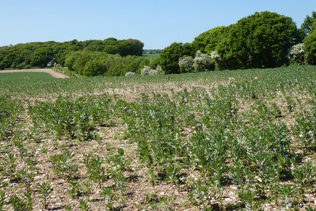
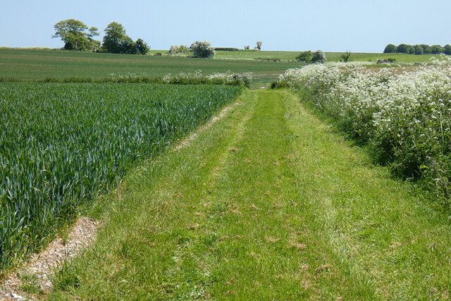
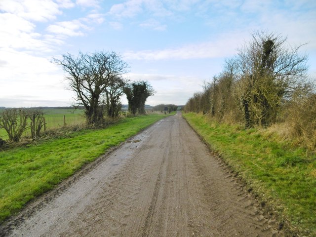
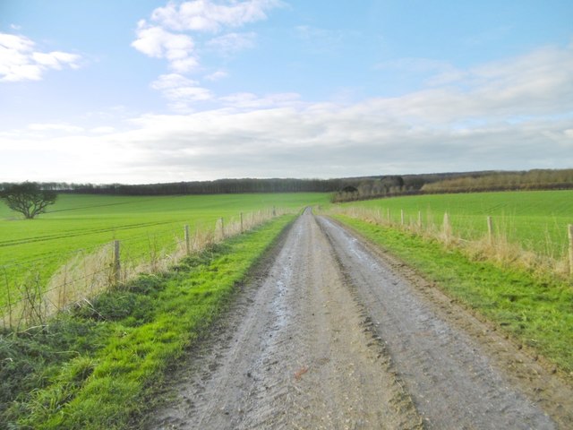
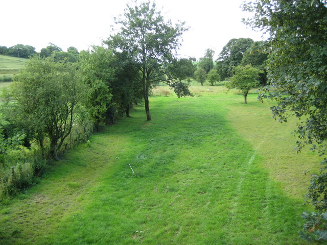
The surrounding countryside provides ample opportunities for outdoor activities, such as walking, cycling, and horse riding. The area is known for its beautiful landscapes, with the nearby North Wessex Downs being designated as an Area of Outstanding Natural Beauty.

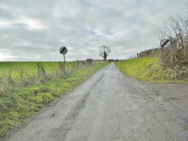
Collingbourne Kingston is well-connected by road, with the A338 running nearby, providing easy access to the wider region. The village also has a strong sense of community, with various events and activities organized throughout the year, including a popular annual village fete.

Overall, Collingbourne Kingston offers a peaceful and idyllic setting, making it an attractive place to live for those seeking a rural lifestyle with easy access to amenities and natural beauty.

If you have any feedback on the listing, please let us know in the comments section below.

Collingbourne Kingston Images

Images are sourced within 2km of 51.297598/-1.658834 or Grid Reference SU2355. Thanks to Geograph Open Source API. All images are credited.

Farmland, Collingbourne Kingston A crop of beans and the copse on Thornhill Down.
Farmland, Collingbourne Kingston
A crop of beans and the copse on Thornhill Down.
Farmland, Collingbourne Kingston A byway beside wheat above Westhill Farm.  Motorists have been asked to desist voluntarily from using this stretch of track and  its surface is much smoother than 11 years earlier <a title="https://www.geograph.org.uk/photo/2915349" href="https://www.geograph.org.uk/photo/2915349">Link</a>.
Farmland, Collingbourne Kingston
A byway beside wheat above Westhill Farm. Motorists have been asked to desist voluntarily from using this stretch of track and its surface is much smoother than 11 years earlier Link.
Collingbourne Kingston Village Hall On the lane to Brunton; complete with playground and playing field: <span class="nowrap"><a title="http://www.collingbournekingston.org.uk/VillageHallB.php" rel="nofollow ugc noopener" href="http://www.collingbournekingston.org.uk/VillageHallB.php">Link</a><img style="margin-left:2px;" alt="External link" title="External link - shift click to open in new window" src="https://s1.geograph.org.uk/img/external.png" width="10" height="10"/></span>
Collingbourne Kingston Village Hall
On the lane to Brunton; complete with playground and playing field: LinkExternal link
Collingbourne Kingston, St. Mary's Parish church overlooking Marlborough Road; dating from C13, listed by Historic England (Grade II*): <span class="nowrap"><a title="http://www.imagesofengland.org.uk/Details/Default.aspx?id=312359&mode=adv" rel="nofollow ugc noopener" href="http://www.imagesofengland.org.uk/Details/Default.aspx?id=312359&mode=adv">Link</a><img style="margin-left:2px;" alt="External link" title="External link - shift click to open in new window" src="https://s1.geograph.org.uk/img/external.png" width="10" height="10"/></span>
Collingbourne Kingston, St. Mary's
Parish church overlooking Marlborough Road; dating from C13, listed by Historic England (Grade II*): LinkExternal link
Collingbourne Kingston, Barleycorn Inn Public house with accommodation on Marlborough Road; early C19, listed by Historic England (Grade II): <span class="nowrap"><a title="http://www.imagesofengland.org.uk/Details/Default.aspx?id=312375&mode=adv" rel="nofollow ugc noopener" href="http://www.imagesofengland.org.uk/Details/Default.aspx?id=312375&mode=adv">Link</a><img style="margin-left:2px;" alt="External link" title="External link - shift click to open in new window" src="https://s1.geograph.org.uk/img/external.png" width="10" height="10"/></span> <span class="nowrap"><a title="http://www.barleycorninn.co.uk/" rel="nofollow ugc noopener" href="http://www.barleycorninn.co.uk/">Link</a><img style="margin-left:2px;" alt="External link" title="External link - shift click to open in new window" src="https://s1.geograph.org.uk/img/external.png" width="10" height="10"/></span>
Collingbourne Kingston, Barleycorn Inn
Public house with accommodation on Marlborough Road; early C19, listed by Historic England (Grade II): LinkExternal link LinkExternal link
Collingbourne Kingston, thatched cottages Norrie Cottage and Mayzells Cottage, on Marlborough Road; C17, listed by Historic England (Grade II): <span class="nowrap"><a title="http://www.imagesofengland.org.uk/Details/Default.aspx?id=312366&mode=adv" rel="nofollow ugc noopener" href="http://www.imagesofengland.org.uk/Details/Default.aspx?id=312366&mode=adv">Link</a><img style="margin-left:2px;" alt="External link" title="External link - shift click to open in new window" src="https://s1.geograph.org.uk/img/external.png" width="10" height="10"/></span>
Collingbourne Kingston, thatched cottages
Norrie Cottage and Mayzells Cottage, on Marlborough Road; C17, listed by Historic England (Grade II): LinkExternal link
Collingbourne Kingston, Mill Drove Lane from Marlborough Road to Parsonage Farm, becoming a byway towards Everleigh.
Collingbourne Kingston, Mill Drove
Lane from Marlborough Road to Parsonage Farm, becoming a byway towards Everleigh.
Collingbourne Kingston, Parsonage Farm Cattle farm on Mill Drove.
Collingbourne Kingston, Parsonage Farm
Cattle farm on Mill Drove.
Collingbourne Kingston, cattle shed At Parsonage Farm.
Collingbourne Kingston, cattle shed
At Parsonage Farm.
Collingbourne Kingston, farm road After Parsonage Farm, Mill Drove continues, to serve a barn, before becoming a byway heading towards Everleigh.
Collingbourne Kingston, farm road
After Parsonage Farm, Mill Drove continues, to serve a barn, before becoming a byway heading towards Everleigh.
Collingbourne Kingston, barn At the end of Mill Drove. Like others nearby, the barn is choc-a-bloc with straw.
Collingbourne Kingston, barn
At the end of Mill Drove. Like others nearby, the barn is choc-a-bloc with straw.
Collingbourne Kingston, byway Byway and farm road, the continuation of Mill Drove, heading towards Everleigh.
Collingbourne Kingston, byway
Byway and farm road, the continuation of Mill Drove, heading towards Everleigh.
Collingbourne Kingston, barn On the byway towards Everleigh; like others nearby, choc-a-bloc with bales.
Collingbourne Kingston, barn
On the byway towards Everleigh; like others nearby, choc-a-bloc with bales.
Collingbourne Kingston, bird feeder Next to a copse on the byway to the village. Patches of woodland in the area are rich in feeders, and pheasants and partridges often seen.
Collingbourne Kingston, bird feeder
Next to a copse on the byway to the village. Patches of woodland in the area are rich in feeders, and pheasants and partridges often seen.
Collingbourne Kingston, byway The continuation of Mill Drove, across cropland towards Everleigh.
Collingbourne Kingston, byway
The continuation of Mill Drove, across cropland towards Everleigh.
Collingbourne Kingston, clamp Silage maturing under a nylon sheet secured with old tyres.
Collingbourne Kingston, clamp
Silage maturing under a nylon sheet secured with old tyres.
Aughton, byway Across the downs, from Falstone Pond to Aughton.
Aughton, byway
Across the downs, from Falstone Pond to Aughton.
Aughton, byway Byway and farm road, across the downs to Aughton; silos at Aughton Farm in the distance.
Aughton, byway
Byway and farm road, across the downs to Aughton; silos at Aughton Farm in the distance.
Show me another place!

Collingbourne Kingston is located at Grid Ref: SU2355 (Lat: 51.297598, Lng: -1.658834)

Unitary Authority: Wiltshire

Police Authority: Wiltshire

What 3 Words

///monopoly.printout.towers. Near Collingbourne Kingston, Wiltshire

Related Wikis

Collingbourne Kingston

Collingbourne Kingston is a village and civil parish about 8 miles (13 km) south of the market town of Marlborough in Wiltshire, England. The village,...

Collingbourne Kingston Halt railway station

Collingbourne Kingston Halt was a small railway station that served the village of Collingbourne Kingston in Wiltshire, England for less than 30 years...

Brunton House

Brunton House is a Grade II* listed house in Brunton, Wiltshire, England. It dates from the late seventeenth or early eighteenth centuries and is of brick...

Brunton, Wiltshire

Brunton is a hamlet adjacent to the village of Collingbourne Kingston in Wiltshire, England. Records of Brunton's existence date back to the 10th century...

Aughton, Wiltshire

Aughton is a hamlet adjacent to the village of Collingbourne Kingston in Wiltshire, England. Aughton took its name from Aeffe, the owner in the 10th century...

Collingbourne railway station

Collingbourne railway station served the village of Collingbourne Ducis in Wiltshire, England. It was on the Midland and South Western Junction Railway...

Collingbourne Ducis

Collingbourne Ducis is a village and civil parish on Salisbury Plain in Wiltshire, England, about 10 miles (16 km) south of Marlborough. It is one of several...

Everleigh, Wiltshire

Everleigh, pronounced and also sometimes spelt Everley, is a village and civil parish in east Wiltshire, England, about 4+1⁄2 miles (7 km) southeast of...

Nearby Amenities

Located within 500m of 51.297598,-1.658834
Mini Roundabout
Direction: clockwise
Lat/Long: 51.3016277/-1.658402
Collingbourne Kingston
Is In: Wiltshire, England, UK
Place: village
Lat/Long: 51.3017763/-1.6577196
Barrier: cattle_grid
Bicycle: yes
Foot: yes
Horse: no
Motorcycle: yes
Lat/Long: 51.295129/-1.6644735
Post Box
Collection Times: Mo-Fr 16:00; Sa 10:00
Operator: Royal Mail
Operator Wikidata: Q638098
Post Box Type: lamp
Ref: SN8 68
Royal Cypher: EIIR
Royal Cypher Wikidata: Q33102113
Lat/Long: 51.3015002/-1.6583267
Historic: memorial
Memorial: war_memorial
Lat/Long: 51.3007875/-1.6583374
Barrier: kissing_gate
Lat/Long: 51.3002113/-1.6566222
AED
Defibrillator
Defibrillator Location: On outside wall of The Barleycorn Pub on corner next to road
Emergency: defibrillator
Lat/Long: 51.3004115/-1.6592267
The data included in this document is from www.openstreetmap.org. The data is made available under ODbL.

Have you been to Collingbourne Kingston?

Leave your review of Collingbourne Kingston below (or comments, questions and feedback).