Coleford
Civil Parish in Gloucestershire Forest of Dean
England
Coleford
Coleford is a civil parish located in the county of Gloucestershire, England. It is situated in the Forest of Dean district, approximately 20 miles west of Gloucester. The town lies on the western edge of the Forest of Dean, nestled in the picturesque Wye Valley.
With a population of around 8,500 people, Coleford is a vibrant and bustling community. The town has a rich history, dating back to Roman times when it was a significant mining area. The coal mining industry played a crucial role in shaping the town's identity and economy throughout the 19th and early 20th centuries.
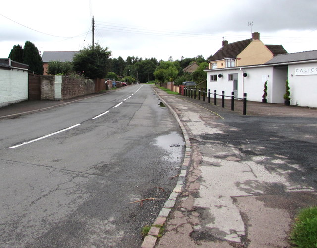
Today, Coleford is known for its charming town center, which features a mix of traditional and modern architecture. The high street offers a range of independent shops, cafes, and pubs, providing a pleasant shopping and dining experience for residents and visitors alike. The town also has a weekly market, where local produce and crafts are sold.
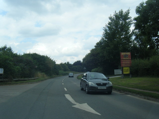
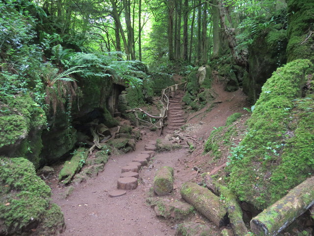
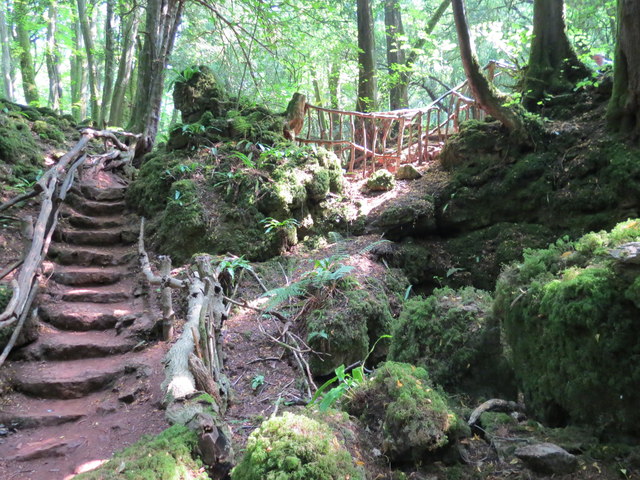
Nature lovers are drawn to Coleford for its proximity to the Forest of Dean, a designated Area of Outstanding Natural Beauty. The forest offers ample opportunities for outdoor activities such as hiking, mountain biking, and wildlife spotting. The nearby Wye Valley, with its stunning river views and picturesque villages, is also a popular destination for tourists.
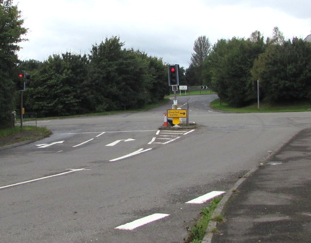
Coleford is well-connected to other parts of Gloucestershire and beyond, with good transport links including bus services and nearby access to the M50 motorway. The town has several schools, healthcare facilities, and recreational amenities, making it an attractive place to live for families and individuals seeking a balance between rural tranquility and modern conveniences.
If you have any feedback on the listing, please let us know in the comments section below.
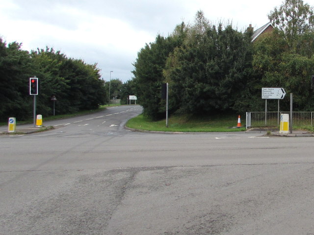
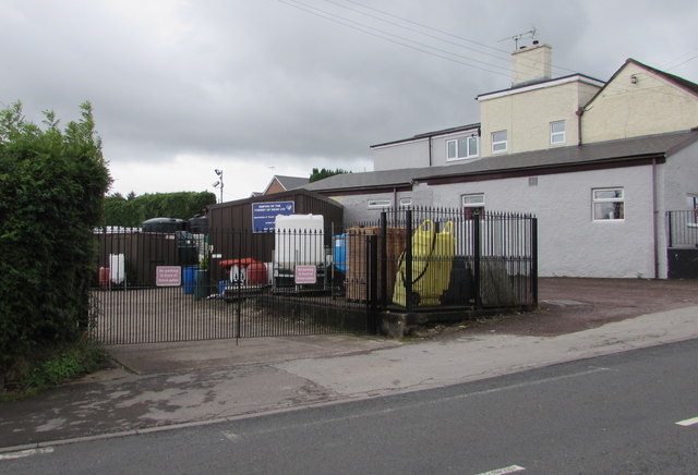
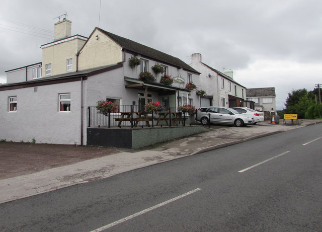
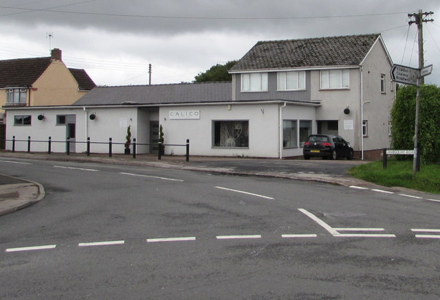
Coleford Images
Images are sourced within 2km of 51.793506/-2.616589 or Grid Reference SO5710. Thanks to Geograph Open Source API. All images are credited.


Coleford is located at Grid Ref: SO5710 (Lat: 51.793506, Lng: -2.616589)
Administrative County: Gloucestershire
District: Forest of Dean
Police Authority: Gloucestershire
What 3 Words
///reject.giving.swerving. Near Coleford, Gloucestershire
Nearby Locations
Related Wikis

Coleford railway station
Coleford railway station served the town of Coleford, Gloucestershire, England, from 1883 to 1917 on the Coleford Railway. == History == The station was...

Coleford Great Western Railway Museum
Coleford Great Western Railway Museum is a railway museum located in Coleford, Gloucestershire, England. The museum was founded in 1988. Based in the former...
Coleford railway station (Severn and Wye Railway)
Coleford (Severn and Wye) railway station is one of two former stations that served the town of Coleford, Gloucestershire, England. The station was the...

Coleford, Gloucestershire
Coleford is a market town in the west of the Forest of Dean, Gloucestershire, England, two miles (3 km) east of the Welsh border and close to the Wye Valley...
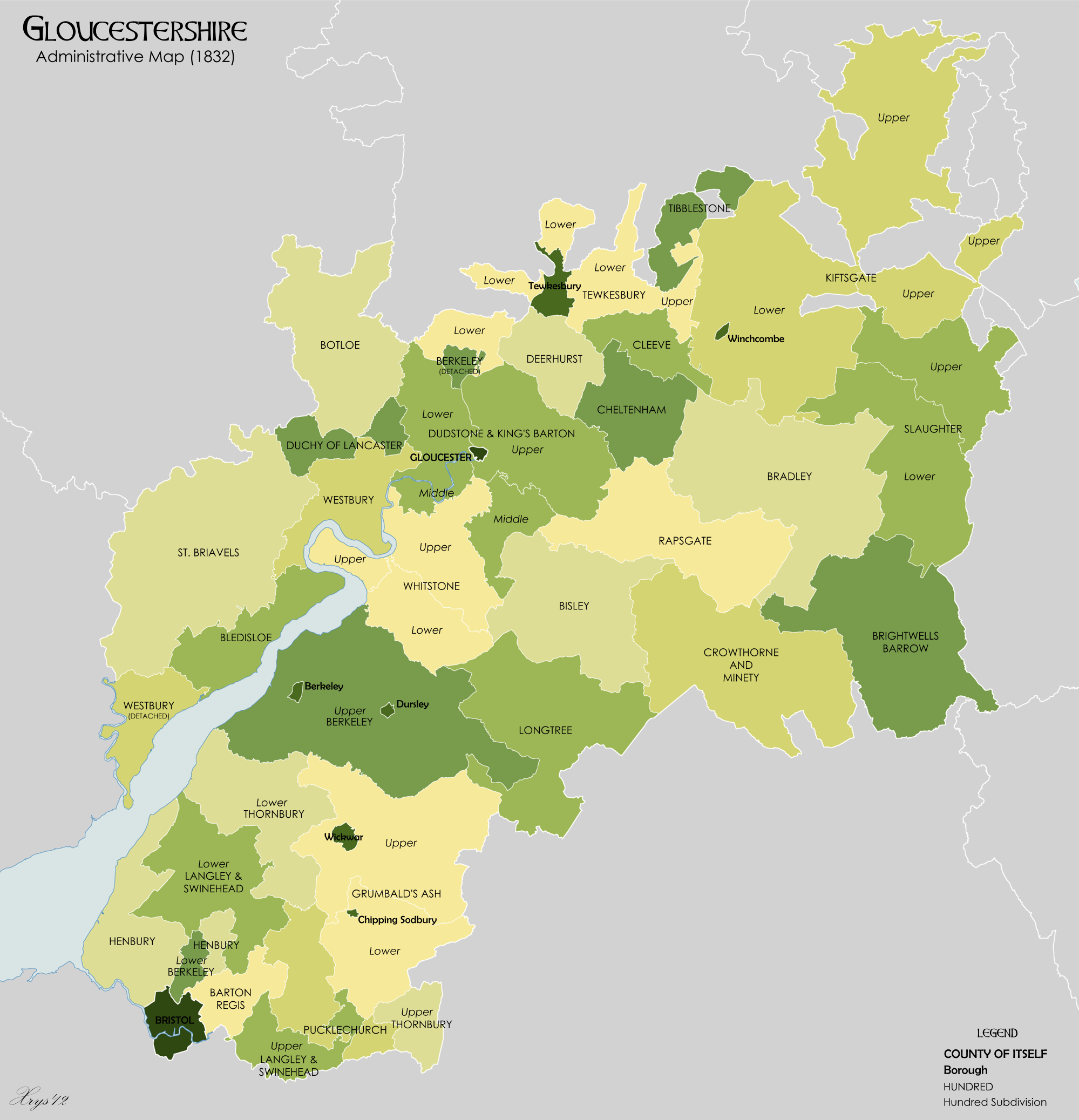
St Briavels Hundred
St Briavels was an ancient hundred of Gloucestershire, England. It comprised the extra-parochial area of the Forest of Dean, and the ancient parishes...
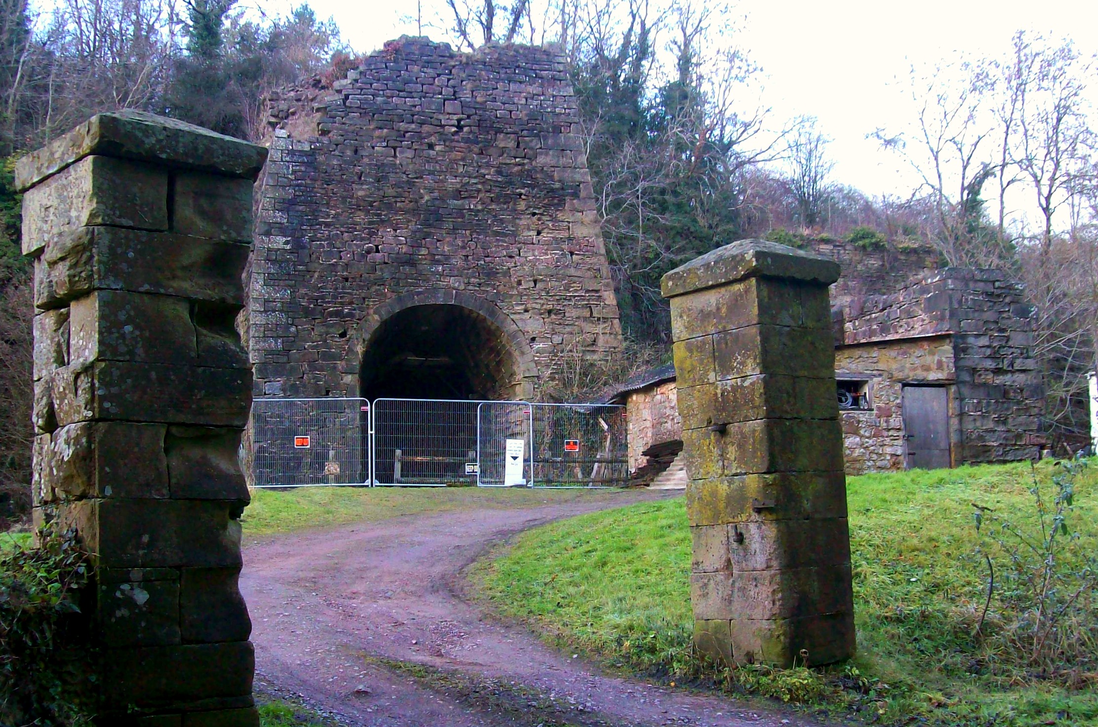
Whitecliff Ironworks
Whitecliff Ironworks, sometimes referred to as Whitecliff Furnace, at Coleford, in the Forest of Dean, Gloucestershire, England, are industrial remains...
Oakiron railway station
Oakiron railway station is the terminus of the 15 in (381 mm) gauge Perrygrove Railway. The line was opened in 1996 and is now open as a heritage railway...
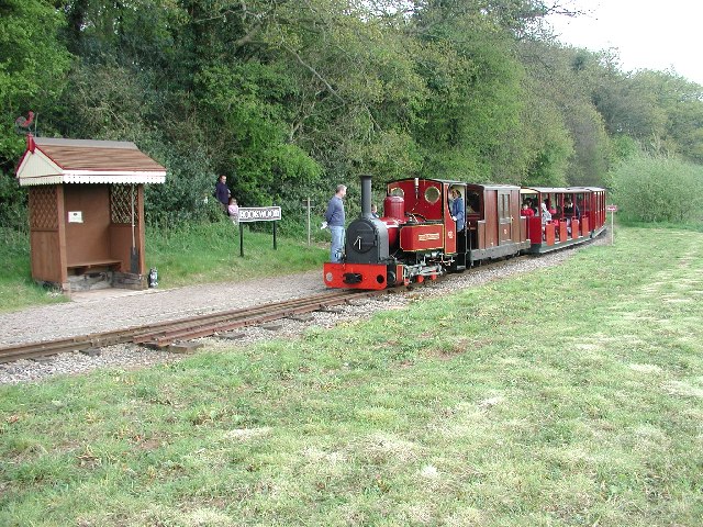
Rookwood railway station
Rookwood railway station is a request stop on the 15 in (381 mm) gauge Perrygrove Railway. The railway was opened in 1996 and is a heritage railway. There...
Nearby Amenities
Located within 500m of 51.793506,-2.616589Have you been to Coleford?
Leave your review of Coleford below (or comments, questions and feedback).