High Nash
Settlement in Gloucestershire Forest of Dean
England
High Nash
High Nash is a small village located in the county of Gloucestershire, England. Situated just 4 miles northeast of the town of Cheltenham, it is nestled in the picturesque Cotswold Hills, an area renowned for its natural beauty and charming rural landscapes.
The village of High Nash is characterized by its idyllic setting, with rolling hills, lush green fields, and meandering country lanes. It boasts a tranquil and peaceful atmosphere, making it an ideal destination for those seeking a respite from the hustle and bustle of city life.
The village itself is relatively small, with a population of around 300 residents. It is predominantly residential, consisting of a mix of traditional Cotswold stone cottages and newer houses. The architecture reflects the area's rich history, with some buildings dating back several centuries.
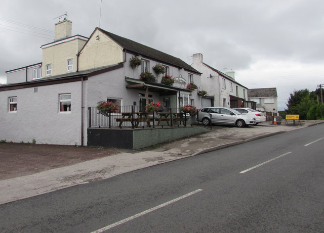
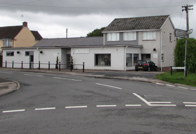
Despite its small size, High Nash benefits from a strong sense of community. The village has a local pub, The Red Lion, which serves as a hub for socializing and gathering. There is also a village hall that hosts various events and activities throughout the year, fostering a sense of togetherness among residents.
From High Nash, residents and visitors have easy access to the surrounding countryside, offering ample opportunities for outdoor activities such as hiking, cycling, and horse riding. The village is also within close proximity to the bustling town of Cheltenham, where a wider range of amenities, shopping, and entertainment options can be found.
If you have any feedback on the listing, please let us know in the comments section below.
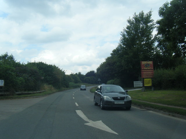
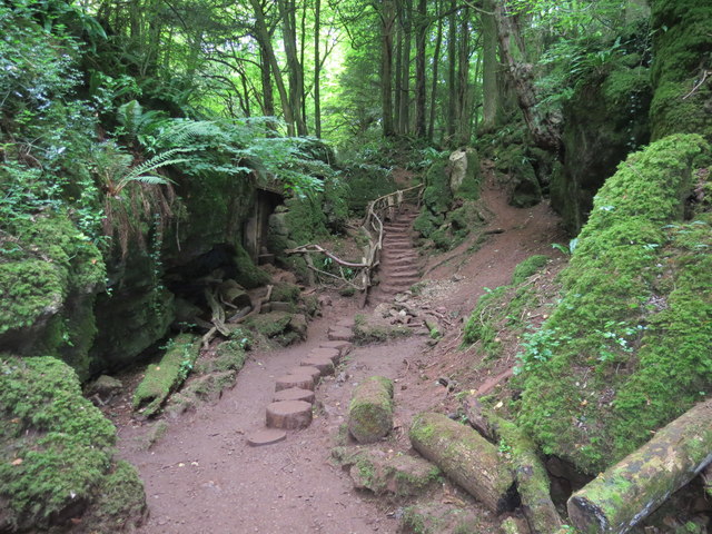
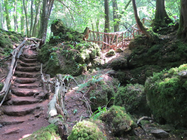
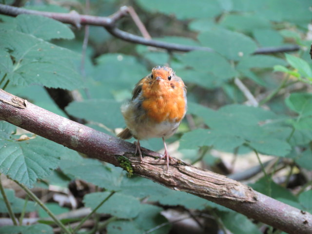
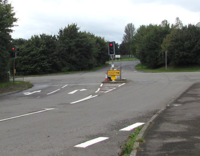
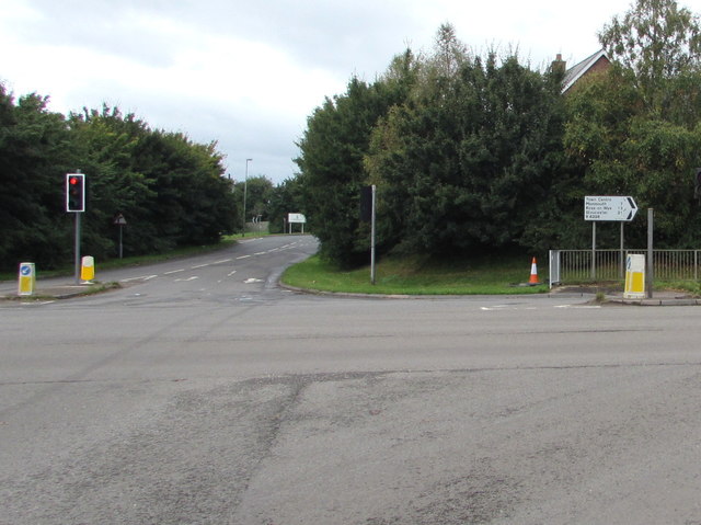
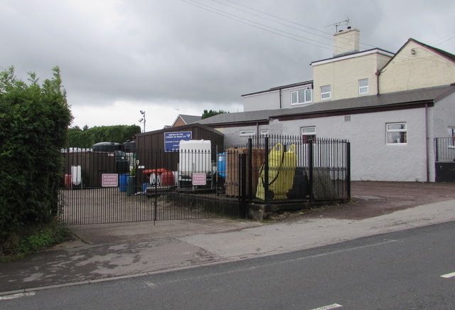
High Nash Images
Images are sourced within 2km of 51.78952/-2.615432 or Grid Reference SO5710. Thanks to Geograph Open Source API. All images are credited.


High Nash is located at Grid Ref: SO5710 (Lat: 51.78952, Lng: -2.615432)
Administrative County: Gloucestershire
District: Forest of Dean
Police Authority: Gloucestershire
What 3 Words
///scoping.invoices.barrel. Near Coleford, Gloucestershire
Nearby Locations
Related Wikis

Coleford, Gloucestershire
Coleford is a market town in the west of the Forest of Dean, Gloucestershire, England, two miles (3 km) east of the Welsh border and close to the Wye Valley...

Coleford railway station (Severn and Wye Railway)
Coleford (Severn and Wye) railway station is one of two former stations that served the town of Coleford, Gloucestershire, England. The station was the...
Coleford railway station
Coleford railway station served the town of Coleford, Gloucestershire, England, from 1883 to 1917 on the Coleford Railway. == History == The station was...

Coleford Great Western Railway Museum
Coleford Great Western Railway Museum is a railway museum located in Coleford, Gloucestershire, England. The museum was founded in 1988. Based in the former...
St Briavels Hundred
St Briavels was an ancient hundred of Gloucestershire, England. It comprised the extra-parochial area of the Forest of Dean, and the ancient parishes...
Oakiron railway station
Oakiron railway station is the terminus of the 15 in (381 mm) gauge Perrygrove Railway. The line was opened in 1996 and is now open as a heritage railway...
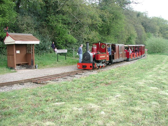
Rookwood railway station
Rookwood railway station is a request stop on the 15 in (381 mm) gauge Perrygrove Railway. The railway was opened in 1996 and is a heritage railway. There...
Heywood railway station (Perrygrove Railway)
Heywood railway station is a request stop on the 15 in (381 mm) gauge Perrygrove Railway. The line was opened in 1996 and is a heritage railway. There...
Nearby Amenities
Located within 500m of 51.78952,-2.615432Have you been to High Nash?
Leave your review of High Nash below (or comments, questions and feedback).