Claife

Civil Parish in Lancashire South Lakeland

England

Claife

Path on Latterbarrow This is the path from Claife Heights, leading up the south ridge towards the summit of Latterbarrow.
Path on Latterbarrow Credit: Adrian Taylor

Claife is a civil parish located in the borough of South Lakeland, in the county of Lancashire, England. Situated on the eastern shore of Lake Windermere, it is a picturesque and tranquil area that attracts tourists and locals alike.

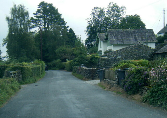
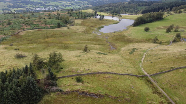
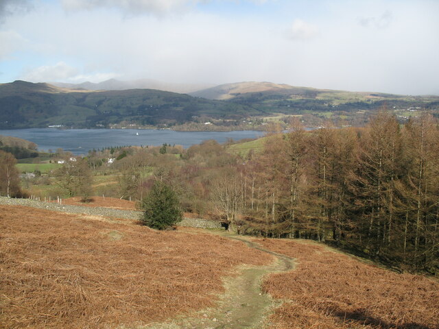
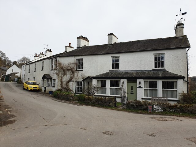
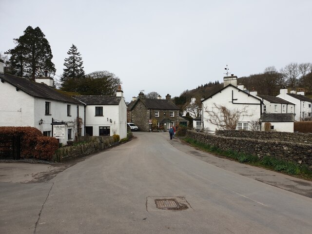
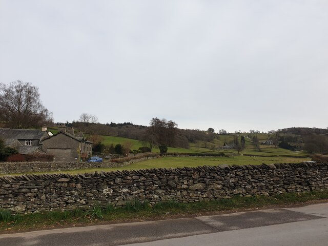
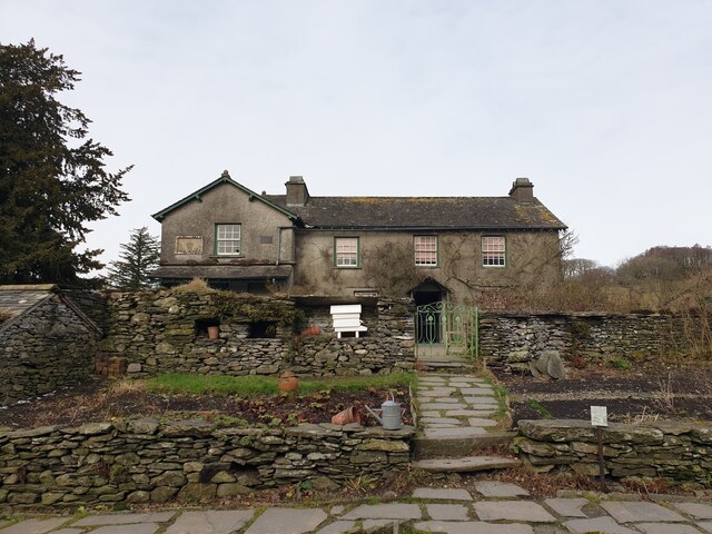
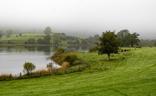
The parish covers an area of approximately 1,750 acres, and is predominantly rural in nature. It consists of a small cluster of homes and farms, surrounded by rolling hills and forests. The landscape is characterized by its stunning views of Lake Windermere, the largest natural lake in England. Visitors to Claife can enjoy walks along the lakeside, taking in the breathtaking scenery and appreciating the peace and serenity of the area.

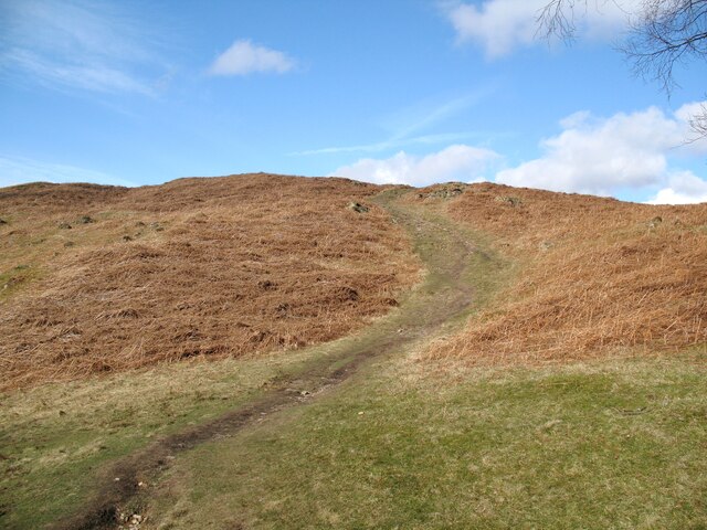
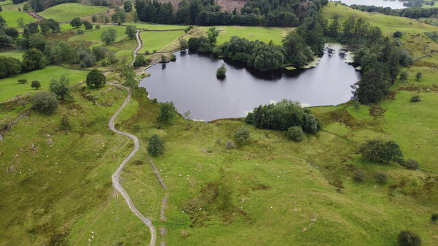
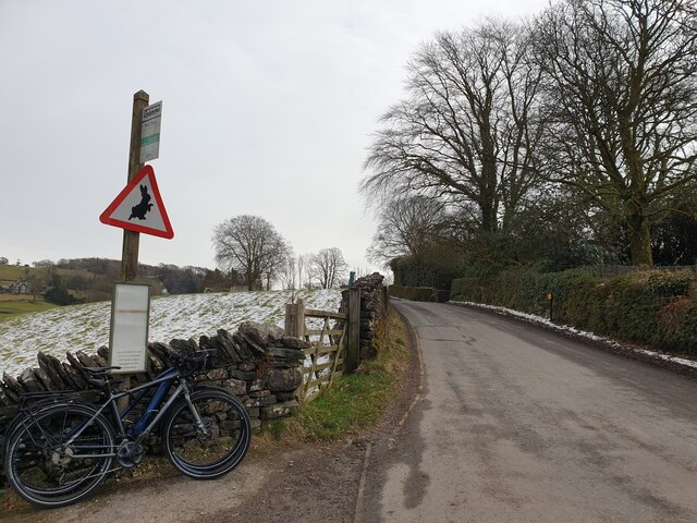
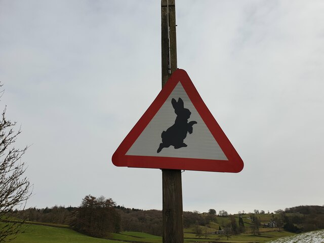
One of the notable features of Claife is Claife Heights, a ridge that runs along the western edge of the parish. It offers panoramic views of the surrounding countryside and is a popular spot for hiking and nature walks. The area is also home to a number of wildlife species, including red deer, buzzards, and otters, making it a haven for nature enthusiasts.

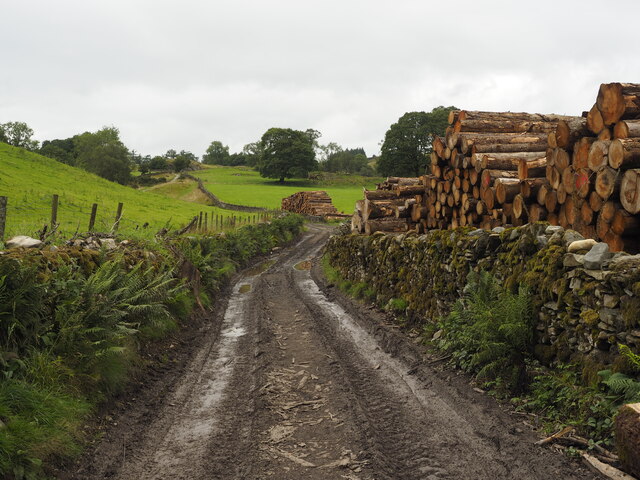
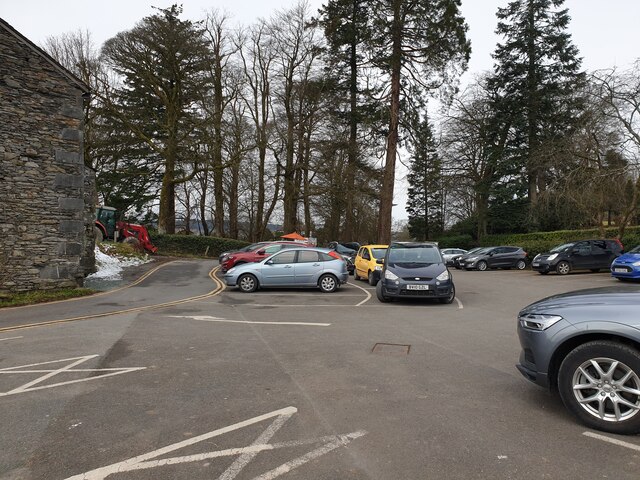
Historically, Claife was an important area for the local economy, with farming and forestry playing a significant role. Today, the economy is largely driven by tourism, as visitors flock to the area to experience its natural beauty and tranquility.

In summary, Claife is a small civil parish in Lancashire, known for its stunning views of Lake Windermere, picturesque countryside, and abundance of wildlife. It offers a peaceful retreat for those seeking to unwind and connect with nature.

If you have any feedback on the listing, please let us know in the comments section below.
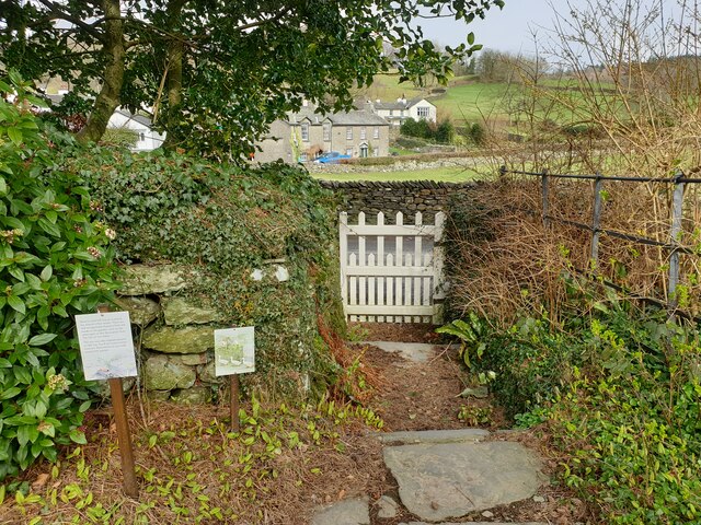
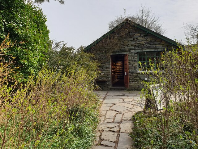
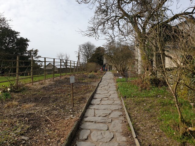
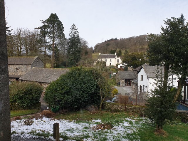
Claife Images

Images are sourced within 2km of 54.368946/-2.965963 or Grid Reference SD3797. Thanks to Geograph Open Source API. All images are credited.

Path on Latterbarrow This is the path from Claife Heights, leading up the south ridge towards the summit of Latterbarrow.
Path on Latterbarrow
This is the path from Claife Heights, leading up the south ridge towards the summit of Latterbarrow.
Lane at Fold Gate
Lane at Fold Gate
The Track up to Moss Eccles Tarn A lot of the trees in this area have blown over in, I presume, last year's gales.  Whether this timber is a result of that or has been deliberately 'harvested' from the local woodland, I don't know.
The Track up to Moss Eccles Tarn
A lot of the trees in this area have blown over in, I presume, last year's gales. Whether this timber is a result of that or has been deliberately 'harvested' from the local woodland, I don't know.
Moss Eccles Tarn from the Air Taken from the north from about 100m above ground. A small part of Esthwaite Water can be seen in the top right hand side of the photo.
Moss Eccles Tarn from the Air
Taken from the north from about 100m above ground. A small part of Esthwaite Water can be seen in the top right hand side of the photo.
Wise Een Tarn from the South Taken from about 120m above the ground, this is the view northwards from nearly above Moss Eccles Tarn
Wise Een Tarn from the South
Taken from about 120m above the ground, this is the view northwards from nearly above Moss Eccles Tarn
Path above Waterson Intake The path is the public footpath from Latterbarrow to High Wray.
Windermere is in the middle distance and there is a snow shower over the Kentmere Fells.
Path above Waterson Intake
The path is the public footpath from Latterbarrow to High Wray. Windermere is in the middle distance and there is a snow shower over the Kentmere Fells.
Houses in Near Sawrey White houses in Near Sawrey, facing the car park for Hill Top.
Houses in Near Sawrey
White houses in Near Sawrey, facing the car park for Hill Top.
Hill Top car park The car park for Hill Top. Considering this was on a chilly March day, I wouldn't like to try and park in the summer!
Hill Top car park
The car park for Hill Top. Considering this was on a chilly March day, I wouldn't like to try and park in the summer!
Near Sawrey Looking along the main road through Near Sawrey.
Near Sawrey
Looking along the main road through Near Sawrey.
Fields beyond Near Sawrey Fields to the north east of Near Sawrey.
Fields beyond Near Sawrey
Fields to the north east of Near Sawrey.
B5285 past Peter Rabbit sign Looking east along the B5285 past the sign warning of Peter Rabbit.
B5285 past Peter Rabbit sign
Looking east along the B5285 past the sign warning of Peter Rabbit.
Peter Rabbit sign A sign warning of Peter Rabbit near Hill Top.
Peter Rabbit sign
A sign warning of Peter Rabbit near Hill Top.
White gate from The Tale of Tom Kitten The white gate that features in an illustration in The Tale of Tom Kitten by Beatrix Potter at Hill Top.
White gate from The Tale of Tom Kitten
The white gate that features in an illustration in The Tale of Tom Kitten by Beatrix Potter at Hill Top.
Hill Top gift shop The gift shop at Hill Top.
Hill Top gift shop
The gift shop at Hill Top.
Down the garden path Looking down the garden path at Hill Top.
Down the garden path
Looking down the garden path at Hill Top.
View from Hill Top Looking out of a window at Hill Top at the houses in Near Sawrey.
View from Hill Top
Looking out of a window at Hill Top at the houses in Near Sawrey.
Hill Top Looking up the garden at Hill Top.
Hill Top
Looking up the garden at Hill Top.
Esthwaite Water Fields alongside Esthwaite Water.
Esthwaite Water
Fields alongside Esthwaite Water.
Show me another place!

Claife is located at Grid Ref: SD3797 (Lat: 54.368946, Lng: -2.965963)

Administrative County: Cumbria

District: South Lakeland

Police Authority: Cumbria

What 3 Words

///thunder.support.villager. Near Windermere, Cumbria

Related Wikis

Claife

Claife is a civil parish in the South Lakeland district of Cumbria, England. It is situated west of Windermere, and east of Esthwaite Water and the village...

Moss Eccles Tarn

Moss Eccles Tarn is a tarn on Claife Heights, near Near Sawrey in the Lake District, Cumbria. It is currently owned by the National Trust and known as...

Claife Heights

Claife Heights is an upland area in the Lake District, near to Windermere in Cumbria, England. It has a topographic prominence of 177 metres (581 ft) so...

Latterbarrow

Latterbarrow is a hill in the English Lake District, east of Hawkshead, Cumbria. It is the subject of a chapter of Wainwright's book The Outlying Fells...

Related Videos

Fallbarrow Holiday Park, Lake District

Join us for a sneak peak of what it's like to holiday at our Heacham Beach Holiday Park. When staying at Fallbarrow Holiday Park ...

Fallbarrow Holiday Park walkaround in Bowness on Windermere. April 2023.

Join us on a walk around Fallbarrow Holiday Park in Bowness on Windermere.

The Lake District - Part 1:Hiking the Wansfell Pike: A Detailed Guide to the Trail

Music courtesy of Epidemic Sound. Sign up here for a free 30 day trial:- https://www.epidemicsound.com/referral/pxfzez We are ...

Nearby Amenities

Located within 500m of 54.368946,-2.965963
Three Dubs Crags
Is In Country Code: GB
Is In County: Cumbria
Is In National Park: Lake District National Park
Place: locality
Source: npe
Lat/Long: 54.3698379/-2.959001
Scale Head
Ele: 253
Natural: peak
Lat/Long: 54.3714124/-2.9621195
Seavy Mire Moss
Place: locality
Lat/Long: 54.3650256/-2.9631536
Seavy Mire Intake
Place: locality
Lat/Long: 54.3660672/-2.9631688
Seavy Mire Hill
Ele: 220
Natural: peak
Lat/Long: 54.3672501/-2.9616384
Ustick Moss Intake
Place: locality
Lat/Long: 54.3688394/-2.961548
The Scale
Place: locality
Lat/Long: 54.3685858/-2.9687694
Wray Mires
Place: locality
Lat/Long: 54.3687992/-2.9710048
Highs Intake
Place: locality
Lat/Long: 54.3718352/-2.9701828
The data included in this document is from www.openstreetmap.org. The data is made available under ODbL.

Have you been to Claife?

Leave your review of Claife below (or comments, questions and feedback).