Seavy Mire Hill

Hill, Mountain in Lancashire South Lakeland

England

Seavy Mire Hill

Path on Latterbarrow This is the path from Claife Heights, leading up the south ridge towards the summit of Latterbarrow.
Path on Latterbarrow Credit: Adrian Taylor

Seavy Mire Hill is a prominent geographical feature located in the county of Lancashire, England. It is classified as a hill, rather than a mountain, due to its elevation and size. Standing at an impressive height of approximately 350 meters (1148 feet) above sea level, it offers breathtaking panoramic views of the surrounding landscape.

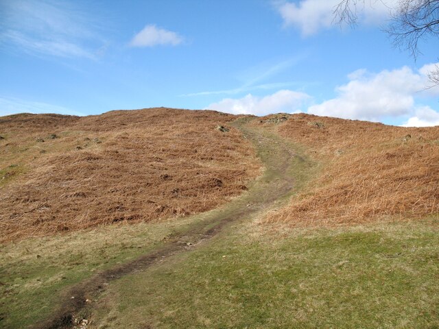
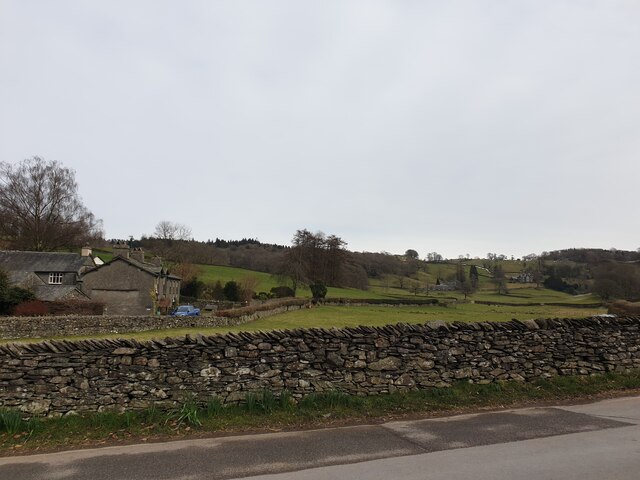
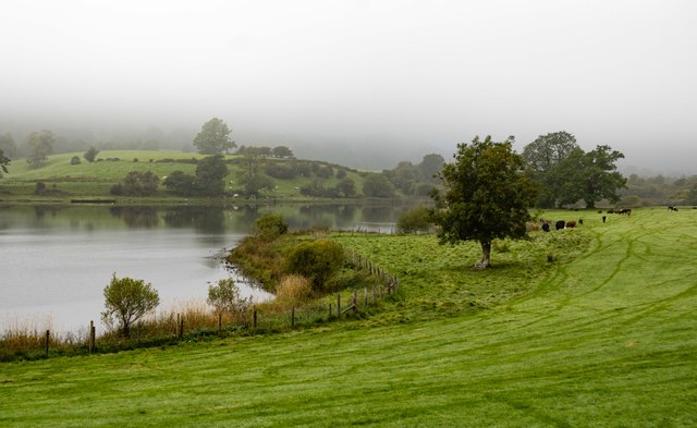
Situated within the Forest of Bowland Area of Outstanding Natural Beauty, Seavy Mire Hill is known for its picturesque setting and diverse wildlife. The hill is covered in a lush blanket of heather, creating a vibrant purple hue during the summer months. This vibrant landscape attracts nature enthusiasts and hikers who enjoy exploring the area's numerous walking trails.

Seavy Mire Hill is also home to a variety of bird species, including the endangered hen harrier. Birdwatchers flock to the area to catch a glimpse of these majestic creatures in their natural habitat. The hill's unique ecological characteristics have contributed to its designation as a Site of Special Scientific Interest (SSSI).

The hill is easily accessible by foot, with a network of footpaths and trails leading to its summit. The climb is moderately challenging, rewarding hikers with sweeping views of the surrounding countryside. On a clear day, one can spot the distant peaks of the Yorkshire Dales and the Lake District National Park.

Seavy Mire Hill offers a tranquil escape from the hustle and bustle of urban life, providing visitors with an opportunity to connect with nature and appreciate the beauty of Lancashire's countryside.

If you have any feedback on the listing, please let us know in the comments section below.

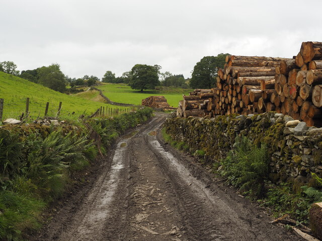
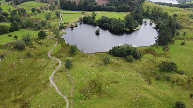
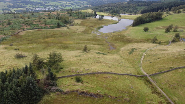
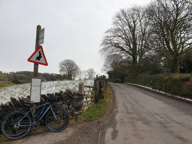
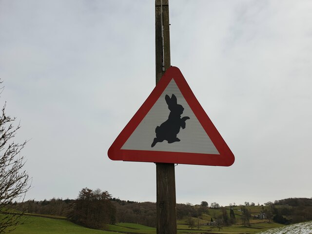
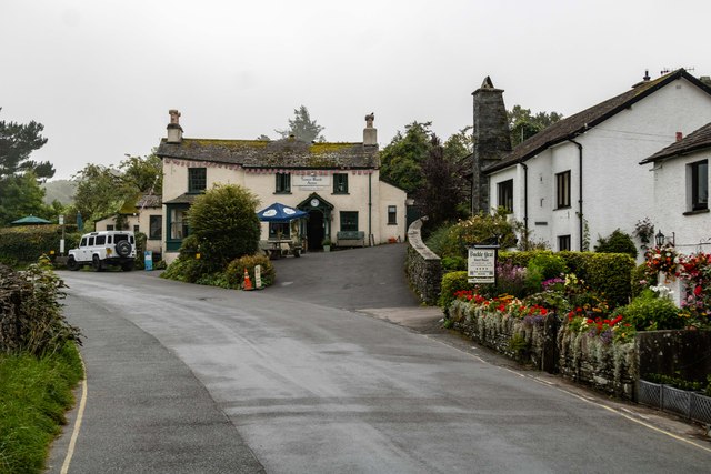
Seavy Mire Hill Images

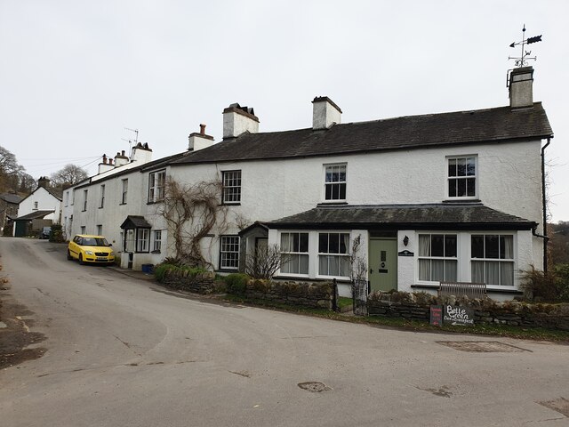
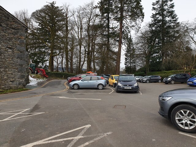
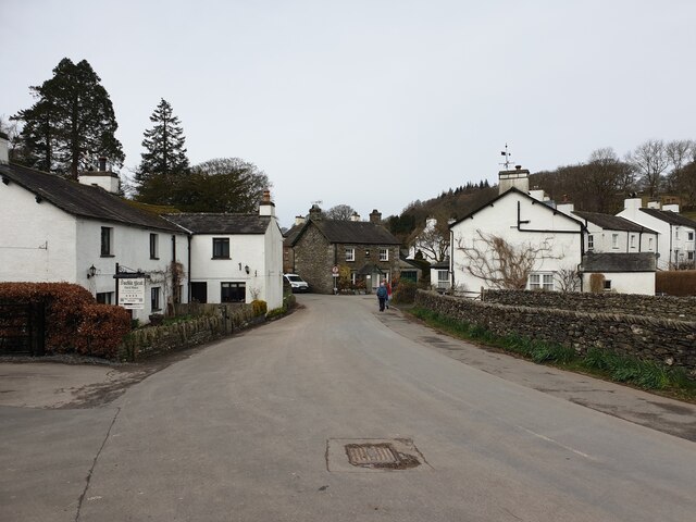
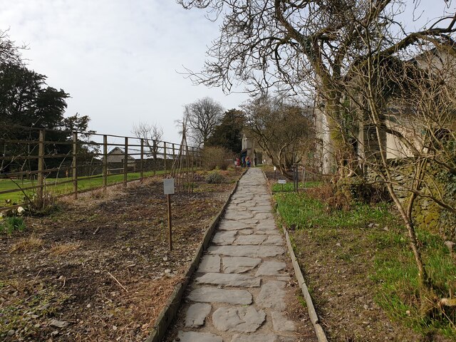
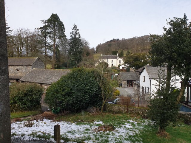
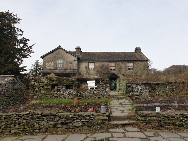
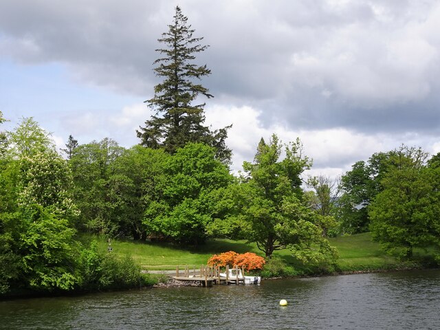
Images are sourced within 2km of 54.367/-2.9617257 or Grid Reference SD3797. Thanks to Geograph Open Source API. All images are credited.

Path on Latterbarrow This is the path from Claife Heights, leading up the south ridge towards the summit of Latterbarrow.
Path on Latterbarrow
This is the path from Claife Heights, leading up the south ridge towards the summit of Latterbarrow.
The Track up to Moss Eccles Tarn A lot of the trees in this area have blown over in, I presume, last year's gales.  Whether this timber is a result of that or has been deliberately 'harvested' from the local woodland, I don't know.
The Track up to Moss Eccles Tarn
A lot of the trees in this area have blown over in, I presume, last year's gales. Whether this timber is a result of that or has been deliberately 'harvested' from the local woodland, I don't know.
Moss Eccles Tarn from the Air Taken from the north from about 100m above ground. A small part of Esthwaite Water can be seen in the top right hand side of the photo.
Moss Eccles Tarn from the Air
Taken from the north from about 100m above ground. A small part of Esthwaite Water can be seen in the top right hand side of the photo.
Wise Een Tarn from the South Taken from about 120m above the ground, this is the view northwards from nearly above Moss Eccles Tarn
Wise Een Tarn from the South
Taken from about 120m above the ground, this is the view northwards from nearly above Moss Eccles Tarn
Houses in Near Sawrey White houses in Near Sawrey, facing the car park for Hill Top.
Houses in Near Sawrey
White houses in Near Sawrey, facing the car park for Hill Top.
Hill Top car park The car park for Hill Top. Considering this was on a chilly March day, I wouldn't like to try and park in the summer!
Hill Top car park
The car park for Hill Top. Considering this was on a chilly March day, I wouldn't like to try and park in the summer!
Near Sawrey Looking along the main road through Near Sawrey.
Near Sawrey
Looking along the main road through Near Sawrey.
Fields beyond Near Sawrey Fields to the north east of Near Sawrey.
Fields beyond Near Sawrey
Fields to the north east of Near Sawrey.
B5285 past Peter Rabbit sign Looking east along the B5285 past the sign warning of Peter Rabbit.
B5285 past Peter Rabbit sign
Looking east along the B5285 past the sign warning of Peter Rabbit.
Peter Rabbit sign A sign warning of Peter Rabbit near Hill Top.
Peter Rabbit sign
A sign warning of Peter Rabbit near Hill Top.
White gate from The Tale of Tom Kitten The white gate that features in an illustration in The Tale of Tom Kitten by Beatrix Potter at Hill Top.
White gate from The Tale of Tom Kitten
The white gate that features in an illustration in The Tale of Tom Kitten by Beatrix Potter at Hill Top.
Hill Top gift shop The gift shop at Hill Top.
Hill Top gift shop
The gift shop at Hill Top.
Down the garden path Looking down the garden path at Hill Top.
Down the garden path
Looking down the garden path at Hill Top.
View from Hill Top Looking out of a window at Hill Top at the houses in Near Sawrey.
View from Hill Top
Looking out of a window at Hill Top at the houses in Near Sawrey.
Hill Top Looking up the garden at Hill Top.
Hill Top
Looking up the garden at Hill Top.
Boat and Jetty, Belle Isle, Windermere
Esthwaite Water Fields alongside Esthwaite Water.
Esthwaite Water
Fields alongside Esthwaite Water.
Tower Bank Arms
Tower Bank Arms
Show me another place!

Seavy Mire Hill is located at Grid Ref: SD3797 (Lat: 54.367, Lng: -2.9617257)

Administrative County: Cumbria

District: South Lakeland

Police Authority: Cumbria

What 3 Words

///telephone.portable.glaze. Near Windermere, Cumbria

Related Wikis

Claife

Claife is a civil parish in the South Lakeland district of Cumbria, England. It is situated west of Windermere, and east of Esthwaite Water and the village...

Moss Eccles Tarn

Moss Eccles Tarn is a tarn on Claife Heights, near Near Sawrey in the Lake District, Cumbria. It is currently owned by the National Trust and known as...

Claife Heights

Claife Heights is an upland area in the Lake District, near to Windermere in Cumbria, England. It has a topographic prominence of 177 metres (581 ft) so...

Near and Far Sawrey

Near Sawrey and Far Sawrey are two neighbouring villages in the Furness area of Cumbria, England. Within the boundaries of the historic county of Lancashire...

Nearby Amenities

Located within 500m of 54.367,-2.9617257
Three Dubs Crags
Is In Country Code: GB
Is In County: Cumbria
Is In National Park: Lake District National Park
Place: locality
Source: npe
Lat/Long: 54.3698379/-2.959001
Ele: 197
Natural: peak
Lat/Long: 54.363814/-2.9637509
Scale Head
Ele: 253
Natural: peak
Lat/Long: 54.3714124/-2.9621195
Sawrey Becks Intake
Place: locality
Lat/Long: 54.3631873/-2.9633648
Seavy Mire Moss
Place: locality
Lat/Long: 54.3650256/-2.9631536
Seavy Mire Intake
Place: locality
Lat/Long: 54.3660672/-2.9631688
Seavy Mire Hill
Ele: 220
Natural: peak
Lat/Long: 54.3672501/-2.9616384
Ustick Moss Intake
Place: locality
Lat/Long: 54.3688394/-2.961548
The Scale
Place: locality
Lat/Long: 54.3685858/-2.9687694
Black Stone Mires
Place: locality
Lat/Long: 54.3660129/-2.9574553
Black Stones Moss
Place: locality
Lat/Long: 54.3668754/-2.9549877
The data included in this document is from www.openstreetmap.org. The data is made available under ODbL.

Have you been to Seavy Mire Hill?

Leave your review of Seavy Mire Hill below (or comments, questions and feedback).