Carberry Hill
Hill, Mountain in Midlothian
Scotland
Carberry Hill
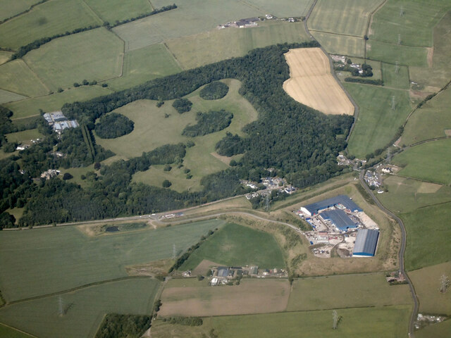
Carberry Hill is a prominent hill located in the county of Midlothian, Scotland. Situated about 9 miles southeast of the capital city of Edinburgh, it forms part of the wider Carberry estate. Rising to an elevation of approximately 220 meters (720 feet), Carberry Hill offers breathtaking panoramic views of the surrounding countryside.
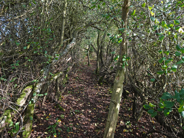
The hill itself is characterized by its gently sloping terrain, which makes it accessible for walkers and hikers of all abilities. Its grassy slopes are adorned with a variety of wildflowers and native plants, adding to the natural beauty of the area. In addition to its scenic appeal, Carberry Hill has a rich historical significance.
Historically, the hill played a pivotal role in the Battle of Carberry, which took place on June 15, 1567. This clash, between the forces of Mary, Queen of Scots, and an alliance of Scottish nobles, resulted in Mary's capture and subsequent abdication of the throne. Today, visitors can explore the remnants of the battle, including the site where Mary made her last stand.
Carberry Hill is a popular destination for outdoor enthusiasts, offering a range of activities such as walking, birdwatching, and photography. The hill is also home to a variety of wildlife, including deer, hares, and a variety of bird species, making it a haven for nature lovers.
Overall, Carberry Hill is a picturesque and historically significant landmark in Midlothian, attracting visitors from near and far who seek to immerse themselves in the natural beauty and rich heritage of the area.
If you have any feedback on the listing, please let us know in the comments section below.
Carberry Hill Images
Images are sourced within 2km of 55.916391/-2.999606 or Grid Reference NT3769. Thanks to Geograph Open Source API. All images are credited.


Carberry Hill is located at Grid Ref: NT3769 (Lat: 55.916391, Lng: -2.999606)
Unitary Authority: East Lothian
Police Authority: The Lothians and Scottish Borders
What 3 Words
///saved.audibly.riot. Near Whitecraig, East Lothian
Nearby Locations
Related Wikis
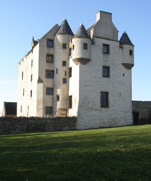
Fa'side Castle
Fa'side Castle (Faside Estate) has previously been known as Fawside, Falside, Ffauside, Fauxside, or Fawsyde and is a 15th-century keep located in East...
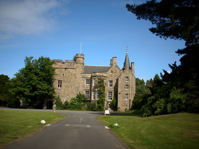
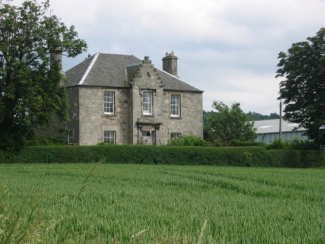
Carberry Tower
Carberry Tower is a historic house in East Lothian, Scotland. The house is situated off the A6124 road, 2 miles (3.2 km) south-east of Musselburgh. Carberry...

Cousland
Cousland is a village in Midlothian, Scotland. It is located 4 kilometres (2.5 mi) east of Dalkeith and 3 kilometres (1.9 mi) west of Ormiston, on a hill...

Cousland Castle
Cousland Castle is a ruined castle near the town of Cousland, Midlothian, Scotland. == Structure == The 16th century ruins of the tower house and enclosure...
Nearby Amenities
Located within 500m of 55.916391,-2.999606Have you been to Carberry Hill?
Leave your review of Carberry Hill below (or comments, questions and feedback).