Thistly Hill

Hill, Mountain in Caithness

Scotland

Thistly Hill

Smithy House (Ruin), Hill of Harley The A99 follows the east coast of Caithness from Latheron, where it leaves the A9, though the town of Wick to John o' Groats at the north-east corner of the Highlands. The road is a trunk road between Latheron and Wick. It was part of the A9 until 1997, when the A9 was re-routed along what had been the A895-A882 link between Latheron and Thurso.

The A99 forms part of the North Coast 500 (NC500) which was launched in 2015. NC500 is a 516-mile scenic route around the north coast of Scotland, starting and ending at Inverness Castle,
Smithy House (Ruin), Hill of Harley Credit: David Dixon

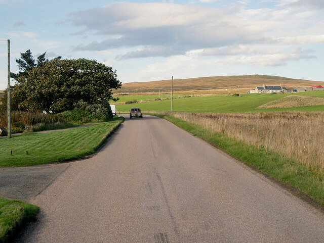
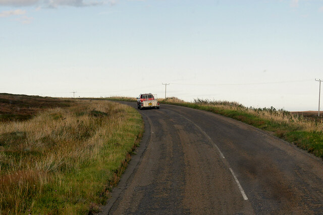
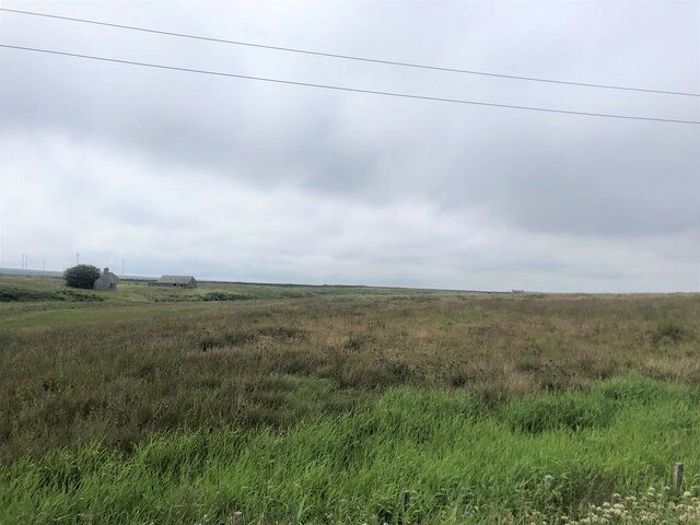
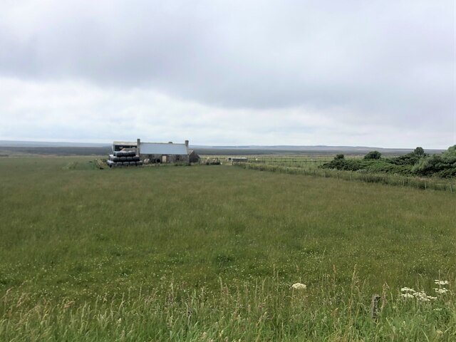
Thistly Hill is a prominent hill located in the county of Caithness, in the Highland region of Scotland. It is situated approximately 7 miles northwest of the town of Thurso and stands at an elevation of 207 meters (679 feet). This hill is part of the wider Caithness landscape, which is known for its rugged beauty and unique geological features.

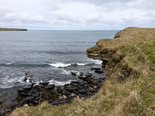
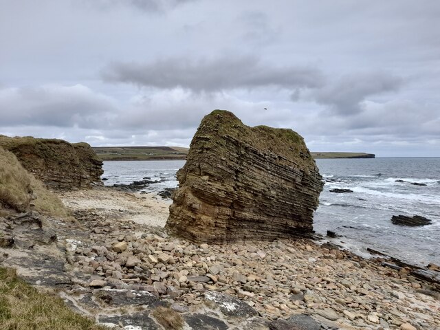
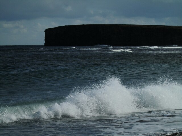
Thistly Hill is characterized by its distinctive conical shape and is composed mainly of sandstone and quartzite rocks, which are remnants of the ancient Moine Thrust Belt. The hill offers breathtaking panoramic views of the surrounding countryside, including the nearby Pentland Firth and the Orkney Islands.

The area surrounding Thistly Hill is rich in biodiversity, providing a habitat for various flora and fauna. Visitors to the hill might encounter a diverse range of plant species, including heather, gorse, and wildflowers, along with occasional sightings of birdlife such as the curlew and meadow pipit.

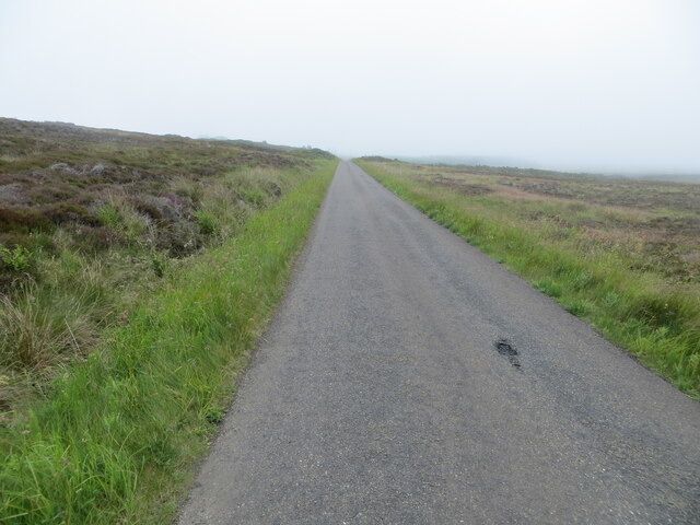
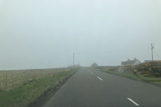
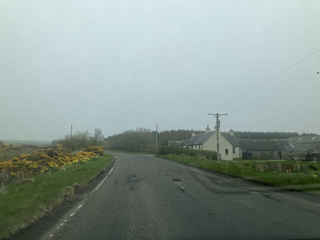
Outdoor enthusiasts and nature lovers are drawn to Thistly Hill as it offers numerous opportunities for outdoor activities such as hillwalking, hiking, and birdwatching. The hill is accessible via well-maintained footpaths, and there are parking facilities available nearby for visitors.

Thistly Hill, with its striking presence and natural beauty, is a popular destination for both locals and tourists alike, providing a peaceful retreat and a chance to immerse oneself in the stunning Scottish landscape.

If you have any feedback on the listing, please let us know in the comments section below.
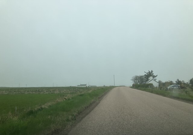
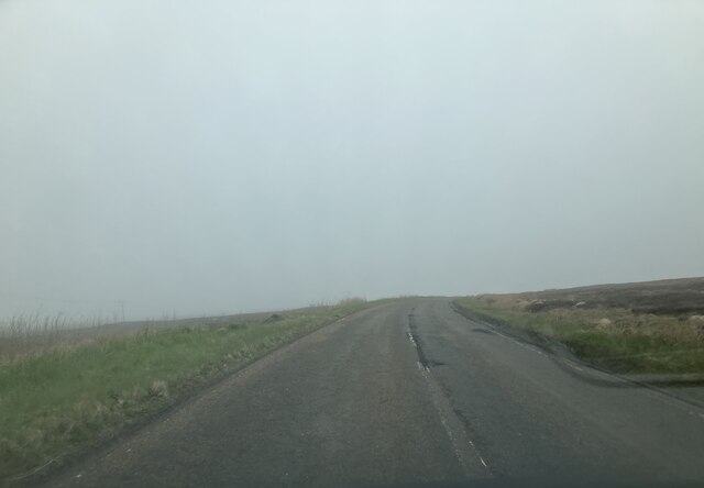
Thistly Hill Images

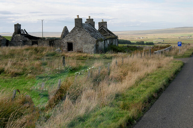
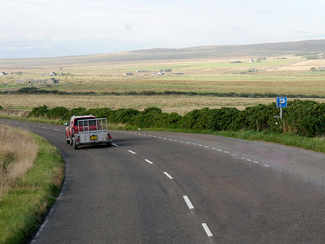
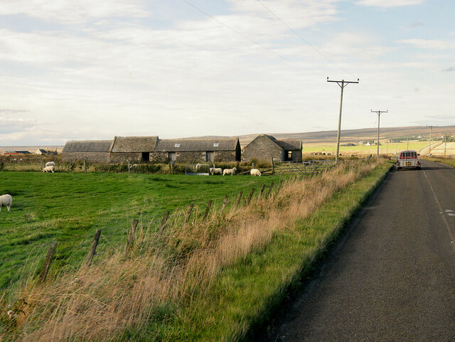
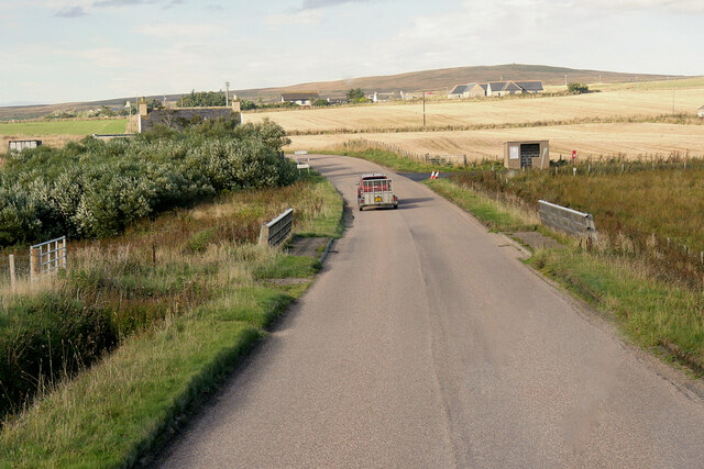
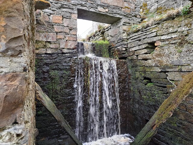
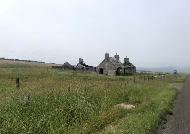
Images are sourced within 2km of 58.592707/-3.0752474 or Grid Reference ND3767. Thanks to Geograph Open Source API. All images are credited.

Smithy House (Ruin), Hill of Harley The A99 follows the east coast of Caithness from Latheron, where it leaves the A9, though the town of Wick to John o' Groats at the north-east corner of the Highlands. The road is a trunk road between Latheron and Wick. It was part of the A9 until 1997, when the A9 was re-routed along what had been the A895-A882 link between Latheron and Thurso.

The A99 forms part of the North Coast 500 (NC500) which was launched in 2015. NC500 is a 516-mile scenic route around the north coast of Scotland, starting and ending at Inverness Castle,
Smithy House (Ruin), Hill of Harley
The A99 follows the east coast of Caithness from Latheron, where it leaves the A9, though the town of Wick to John o' Groats at the north-east corner of the Highlands. The road is a trunk road between Latheron and Wick. It was part of the A9 until 1997, when the A9 was re-routed along what had been the A895-A882 link between Latheron and Thurso. The A99 forms part of the North Coast 500 (NC500) which was launched in 2015. NC500 is a 516-mile scenic route around the north coast of Scotland, starting and ending at Inverness Castle,
Layby on the A99 near Harley The A99 follows the east coast of Caithness from Latheron, where it leaves the A9, though the town of Wick to John o' Groats at the north-east corner of the Highlands. The road is a trunk road between Latheron and Wick. It was part of the A9 until 1997, when the A9 was re-routed along what had been the A895-A882 link between Latheron and Thurso.

The A99 forms part of the North Coast 500 (NC500) which was launched in 2015. NC500 is a 516-mile scenic route around the north coast of Scotland, starting and ending at Inverness Castle,
Layby on the A99 near Harley
The A99 follows the east coast of Caithness from Latheron, where it leaves the A9, though the town of Wick to John o' Groats at the north-east corner of the Highlands. The road is a trunk road between Latheron and Wick. It was part of the A9 until 1997, when the A9 was re-routed along what had been the A895-A882 link between Latheron and Thurso. The A99 forms part of the North Coast 500 (NC500) which was launched in 2015. NC500 is a 516-mile scenic route around the north coast of Scotland, starting and ending at Inverness Castle,
A99, Farm Buildings near Freswick The A99 follows the east coast of Caithness from Latheron, where it leaves the A9, though the town of Wick to John o' Groats at the north-east corner of the Highlands. The road is a trunk road between Latheron and Wick. It was part of the A9 until 1997, when the A9 was re-routed along what had been the A895-A882 link between Latheron and Thurso.

The A99 forms part of the North Coast 500 (NC500) which was launched in 2015. NC500 is a 516-mile scenic route around the north coast of Scotland, starting and ending at Inverness Castle,
A99, Farm Buildings near Freswick
The A99 follows the east coast of Caithness from Latheron, where it leaves the A9, though the town of Wick to John o' Groats at the north-east corner of the Highlands. The road is a trunk road between Latheron and Wick. It was part of the A9 until 1997, when the A9 was re-routed along what had been the A895-A882 link between Latheron and Thurso. The A99 forms part of the North Coast 500 (NC500) which was launched in 2015. NC500 is a 516-mile scenic route around the north coast of Scotland, starting and ending at Inverness Castle,
A99, Bridge over Little Gill Burn The A99 follows the east coast of Caithness from Latheron, where it leaves the A9, though the town of Wick to John o' Groats at the north-east corner of the Highlands. The road is a trunk road between Latheron and Wick. It was part of the A9 until 1997, when the A9 was re-routed along what had been the A895-A882 link between Latheron and Thurso.

The A99 forms part of the North Coast 500 (NC500) which was launched in 2015. NC500 is a 516-mile scenic route around the north coast of Scotland, starting and ending at Inverness Castle,
A99, Bridge over Little Gill Burn
The A99 follows the east coast of Caithness from Latheron, where it leaves the A9, though the town of Wick to John o' Groats at the north-east corner of the Highlands. The road is a trunk road between Latheron and Wick. It was part of the A9 until 1997, when the A9 was re-routed along what had been the A895-A882 link between Latheron and Thurso. The A99 forms part of the North Coast 500 (NC500) which was launched in 2015. NC500 is a 516-mile scenic route around the north coast of Scotland, starting and ending at Inverness Castle,
A99 near Tofts House The A99 follows the east coast of Caithness from Latheron, where it leaves the A9, though the town of Wick to John o' Groats at the north-east corner of the Highlands. The road is a trunk road between Latheron and Wick. It was part of the A9 until 1997, when the A9 was re-routed along what had been the A895-A882 link between Latheron and Thurso.

The A99 forms part of the North Coast 500 (NC500) which was launched in 2015. NC500 is a 516-mile scenic route around the north coast of Scotland, starting and ending at Inverness Castle,
A99 near Tofts House
The A99 follows the east coast of Caithness from Latheron, where it leaves the A9, though the town of Wick to John o' Groats at the north-east corner of the Highlands. The road is a trunk road between Latheron and Wick. It was part of the A9 until 1997, when the A9 was re-routed along what had been the A895-A882 link between Latheron and Thurso. The A99 forms part of the North Coast 500 (NC500) which was launched in 2015. NC500 is a 516-mile scenic route around the north coast of Scotland, starting and ending at Inverness Castle,
A99, Warth Hill The A99 follows the east coast of Caithness from Latheron, where it leaves the A9, though the town of Wick to John o' Groats at the north-east corner of the Highlands. The road is a trunk road between Latheron and Wick. It was part of the A9 until 1997, when the A9 was re-routed along what had been the A895-A882 link between Latheron and Thurso.

The A99 forms part of the North Coast 500 (NC500) which was launched in 2015. NC500 is a 516-mile scenic route around the north coast of Scotland, starting and ending at Inverness Castle,
A99, Warth Hill
The A99 follows the east coast of Caithness from Latheron, where it leaves the A9, though the town of Wick to John o' Groats at the north-east corner of the Highlands. The road is a trunk road between Latheron and Wick. It was part of the A9 until 1997, when the A9 was re-routed along what had been the A895-A882 link between Latheron and Thurso. The A99 forms part of the North Coast 500 (NC500) which was launched in 2015. NC500 is a 516-mile scenic route around the north coast of Scotland, starting and ending at Inverness Castle,
Overhanging Cliff near Freswick Beyond, across Freswick Bay, is Skirza Head.
Overhanging Cliff near Freswick
Beyond, across Freswick Bay, is Skirza Head.
Sea Stack at Freswick This stack shows the layered sedimentary rocks of the area.
Sea Stack at Freswick
This stack shows the layered sedimentary rocks of the area.
At Freswick Mains Within the buildings at Freswick Mains.
At Freswick Mains
Within the buildings at Freswick Mains.
Moorland road heading towards Outertown Cottage Looking south-eastward.
Moorland road heading towards Outertown Cottage
Looking south-eastward.
Freswick Bay Waves catching the afternoon sunlight.
Freswick Bay
Waves catching the afternoon sunlight.
Croft in ruins by the A99
Boggy land at Freswick
Croft at Tofts
Croft at Tofts
Approaching Hilltop Cottage
Approaching Westlands
Approaching Granton Cottage
A99 southbound
A99 southbound
Show me another place!

Thistly Hill is located at Grid Ref: ND3767 (Lat: 58.592707, Lng: -3.0752474)

Unitary Authority: Highland

Police Authority: Highlands and Islands

What 3 Words

///wriggled.slimy.refuse. Near John o' Groats, Highland

Related Wikis

Skirza

Skirza or Skirsa, is a small remote linear fishing village, overlooking Freswick Bay to the south and Skirza Head to the southeast, in eastern Caithness...

Freswick

Freswick ( FREZZ-ik) or Skirsa, is a small remote hamlet, overlooking Freswick Bay to the east, in eastern Caithness, Scottish Highlands and is in the...

Auckengill

Auckengill is a settlement, 6 miles (10 kilometres) south of John o' Groats, on the east coast of Caithness, within the Scottish council area of Highland...

Nybster

Nybster is a scattered rural and crofting township, situated in Caithness and is in the Scottish council area of Highland. It is located along the A9 road...

Nearby Amenities

Located within 500m of 58.592707,-3.0752474
Source: PGS
Lat/Long: 58.5888834/-3.0716345
Source: PGS
Lat/Long: 58.589144/-3.0719217
Created By: dmgroom_coastlines
Source: PGS
Lat/Long: 58.589423/-3.072241
Source: PGS
Lat/Long: 58.5896343/-3.0724476
Source: PGS
Lat/Long: 58.5898847/-3.0726622
Source: PGS
Lat/Long: 58.5902681/-3.0728645
Source: PGS
Lat/Long: 58.5906135/-3.0729611
Source: PGS
Lat/Long: 58.590969/-3.0730372
Source: PGS
Lat/Long: 58.5913759/-3.0730704
Source: PGS
Lat/Long: 58.5919383/-3.0729112
Source: PGS
Lat/Long: 58.5921681/-3.0727001
Source: PGS
Lat/Long: 58.5923822/-3.0724452
Source: PGS
Lat/Long: 58.5927376/-3.0720305
Source: PGS
Lat/Long: 58.5929041/-3.0717301
Source: PGS
Lat/Long: 58.5930315/-3.0713985
Source: PGS
Lat/Long: 58.593169/-3.0710919
Created By: dmgroom_coastlines
Source: PGS
Lat/Long: 58.593391/-3.070288
Source: PGS
Lat/Long: 58.5934026/-3.0699474
Source: PGS
Lat/Long: 58.5934523/-3.06968
Source: PGS
Lat/Long: 58.593631/-3.067347
Passing Place
Lat/Long: 58.5941137/-3.0828957
Passing Place
Lat/Long: 58.5944566/-3.0791439
Freswick Links
Heritage: yes
Historic: archaeological_site
Wikidata: Q56664380
Lat/Long: 58.591922/-3.0746377
Passing Place
Lat/Long: 58.5947549/-3.0758209
Power: pole
Lat/Long: 58.5894868/-3.0803982
Power: pole
Lat/Long: 58.5907365/-3.0821829
Power: pole
Lat/Long: 58.5901408/-3.0813382
Power: pole
Lat/Long: 58.5889482/-3.0796713
Power: pole
Lat/Long: 58.5917343/-3.082457
Power: pole
Lat/Long: 58.592585/-3.0826641
Power: pole
Lat/Long: 58.5933934/-3.0829077
Power: pole
Lat/Long: 58.5941869/-3.0830864
Power: pole
Lat/Long: 58.5969541/-3.075577
Power: pole
Lat/Long: 58.5965499/-3.0755567
Power: pole
Lat/Long: 58.5960887/-3.0755973
Power: pole
Lat/Long: 58.5956507/-3.0755892
Power: pole
Lat/Long: 58.5951756/-3.0755851
Power: pole
Lat/Long: 58.5947503/-3.0755831
The data included in this document is from www.openstreetmap.org. The data is made available under ODbL.

Have you been to Thistly Hill?

Leave your review of Thistly Hill below (or comments, questions and feedback).