City of Durham
Civil Parish in Durham
England
City of Durham
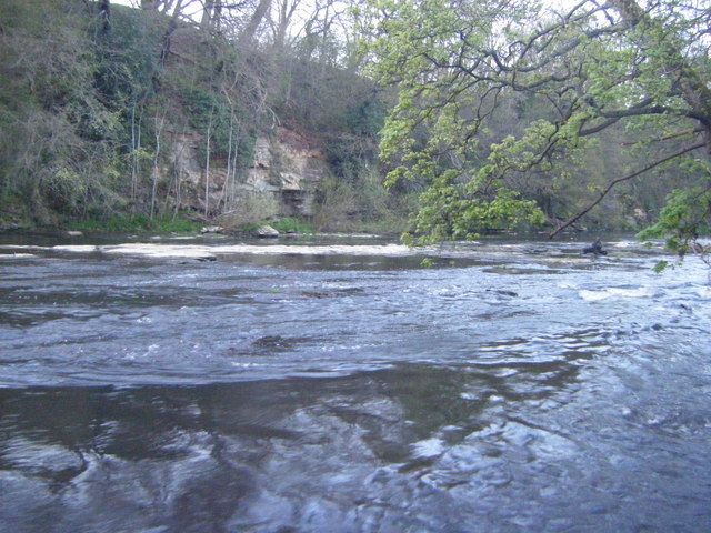
The City of Durham, located in the county of Durham in northeast England, is a historic and vibrant city with a population of approximately 48,000 residents. The city is situated on the River Wear and is known for its stunning medieval architecture, charming cobbled streets, and its world-renowned Durham Cathedral and Castle, both of which are UNESCO World Heritage Sites.
Durham is home to one of the oldest universities in the world, the prestigious Durham University, which adds to the city's vibrant and intellectual atmosphere. The university's beautiful campus, situated alongside the river, further enhances the city's picturesque charm.
The city's economy is diverse, with industries such as education, healthcare, retail, and tourism playing significant roles. Durham is a popular tourist destination, attracting visitors from all over the world who come to explore its rich history, visit its museums and galleries, and experience its vibrant cultural scene.
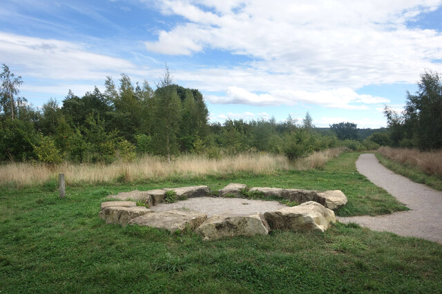
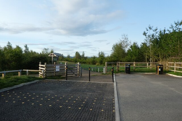
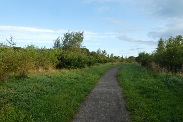
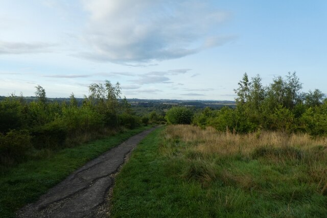
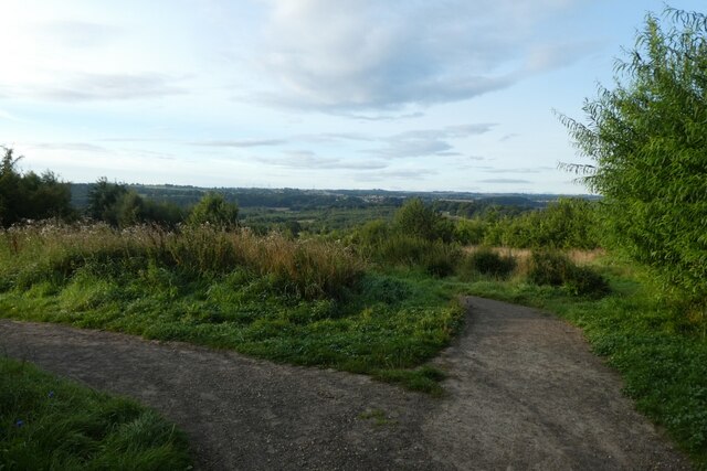
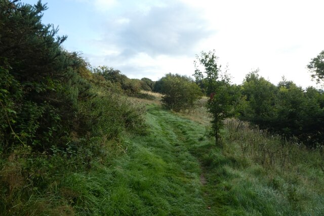
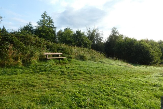
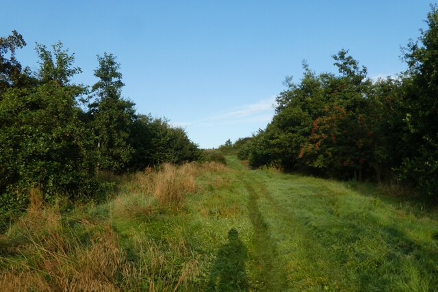
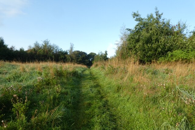
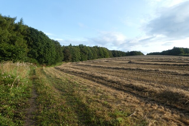
In addition to its historical and cultural attractions, the City of Durham offers a variety of recreational opportunities. The city is surrounded by picturesque countryside, making it a perfect base for outdoor activities such as hiking, cycling, and boating. The River Wear also provides opportunities for fishing and rowing.
Durham is well-connected to other parts of the country, with excellent transport links. The city has its own railway station, providing regular services to major cities such as London, Edinburgh, and Newcastle.
Overall, the City of Durham is a captivating blend of history, culture, and natural beauty, making it a truly unique and appealing place to live or visit.
If you have any feedback on the listing, please let us know in the comments section below.
City of Durham Images
Images are sourced within 2km of 54.766747/-1.580146 or Grid Reference NZ2741. Thanks to Geograph Open Source API. All images are credited.
City of Durham is located at Grid Ref: NZ2741 (Lat: 54.766747, Lng: -1.580146)
Unitary Authority: County Durham
Police Authority: Durham
What 3 Words
///tested.formal.flown. Near Durham, Co. Durham
Nearby Locations
Related Wikis
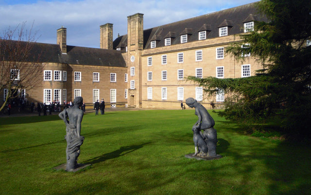
St Mary's College, Durham
St Mary's College is a college of Durham University in England. Following the grant of a supplemental charter in 1895 allowing women to receive degrees...

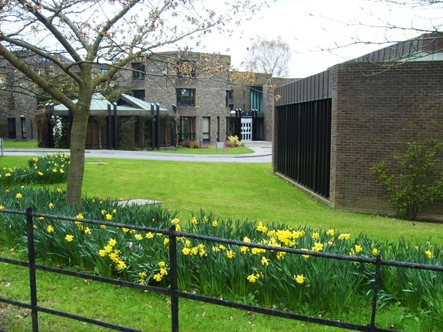
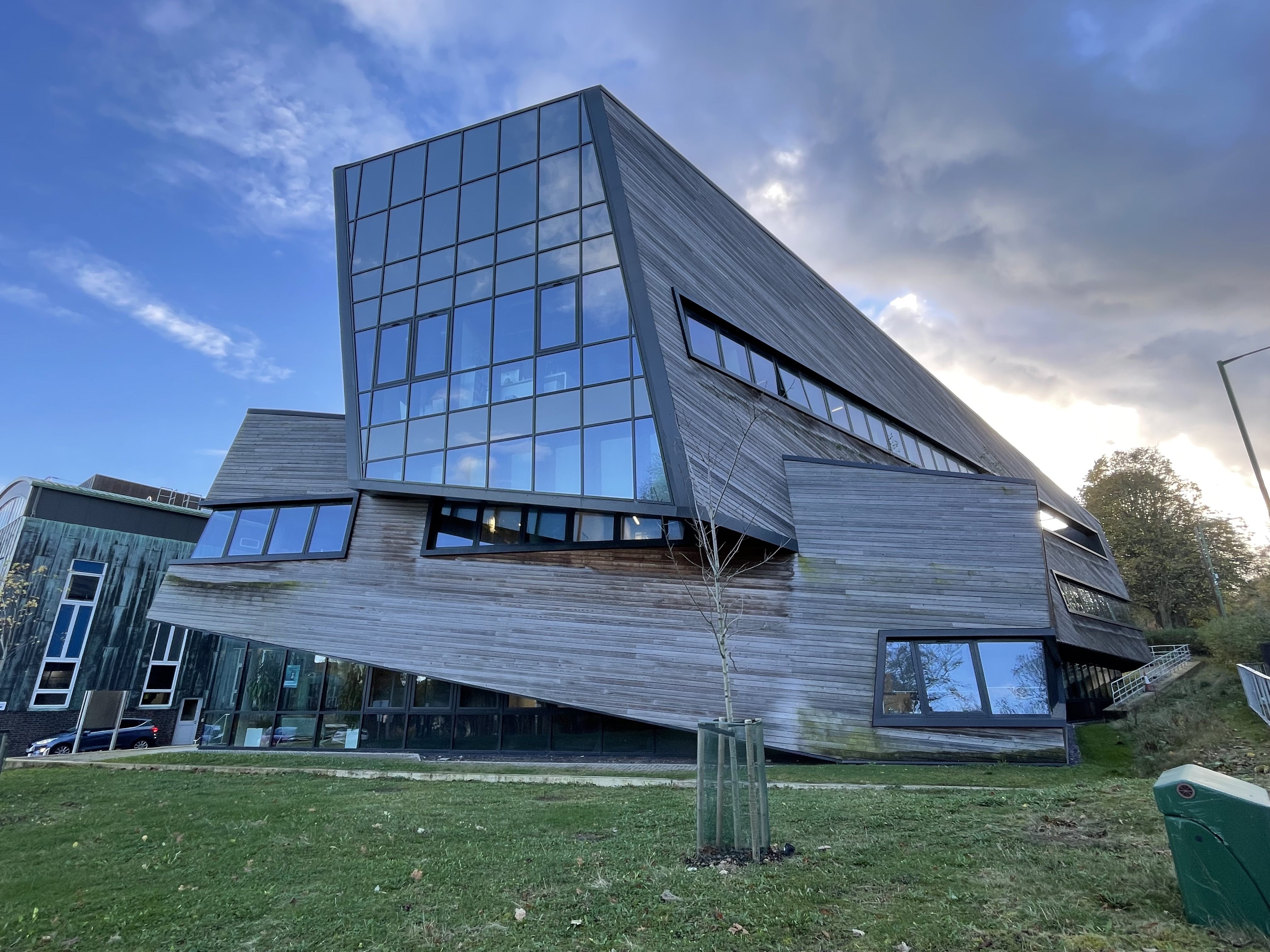
Lower Mountjoy Teaching and Learning Centre
The Lower Mountjoy Teaching and Learning Centre (TLC) is an educational building of Durham University in Durham, England. It is intended to blend into...
Trevelyan College, Durham
Trevelyan College (known colloquially as Trevs) is a college of Durham University, England. Founded in 1966, the college takes its name from social historian...
Institute for Computational Cosmology
The Institute for Computational Cosmology (ICC) is a Research Institute at Durham University, England. It was founded in November 2002 as part of the Ogden...

Grey College, Durham
Grey College is a college of Durham University in England. Although it was originally planned for the college to be named Oliver Cromwell College, this...

St Aidan's College, Durham
St Aidan's College is a college of the University of Durham in England. It had its origins in 1895 as the association of women home students, formalised...

Van Mildert College, Durham
Van Mildert College (known colloquially as Mildert) is a college of Durham University in England. Founded in 1965, it takes its name from William Van Mildert...

Teikyo University of Japan in Durham
Teikyo University of Japan in Durham (帝京大学ダラム分校) is an overseas campus of Teikyo University located on the campus of Durham University in the Lafcadio...
Related Videos


Durham Riverwalk - Walking Around Outside of Greece 4K-HDR UK Walking Tour - Travel Guide
Please subscribe and ring the , Like and share. Durham Riverwalk is a new development in Durham City Centre and ...

Nearby Amenities
Located within 500m of 54.766747,-1.580146Have you been to City of Durham?
Leave your review of City of Durham below (or comments, questions and feedback).