Durham
Historic County in
England
Durham

Durham is a historic county located in the northeast region of England. It is bordered by Northumberland to the north, Cumbria to the west, and North Yorkshire to the south. The county town of Durham is a picturesque city known for its rich history and stunning architecture.
The county is home to the famous Durham Cathedral, a UNESCO World Heritage Site, which dates back to the 11th century. The cathedral's stunning Norman architecture and towering spires make it a popular tourist attraction. Adjacent to the cathedral is Durham Castle, another iconic landmark that was built in the 11th century and is now part of Durham University.
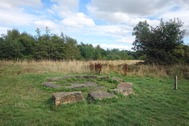
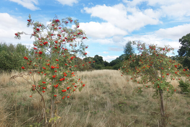
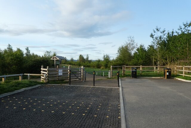
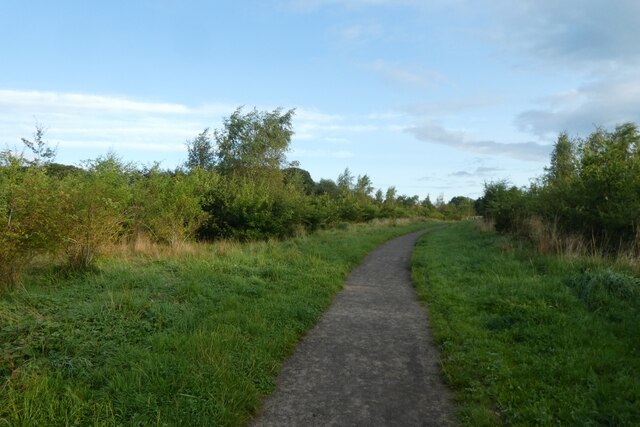
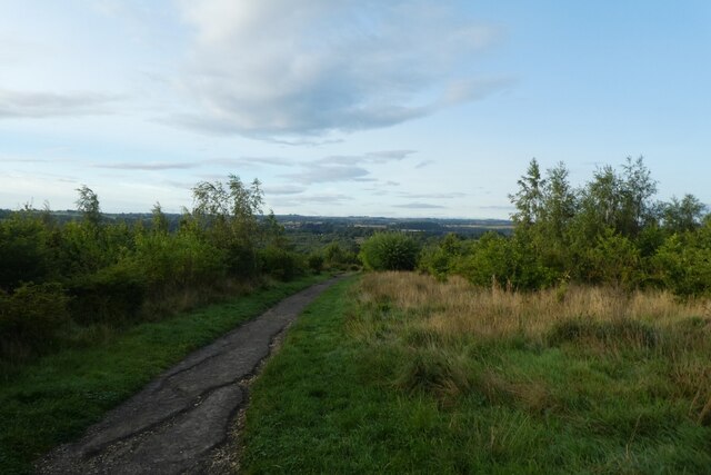
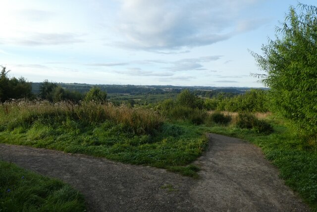
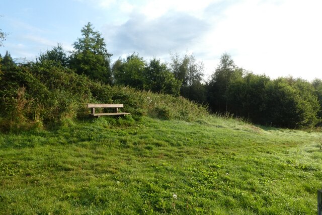
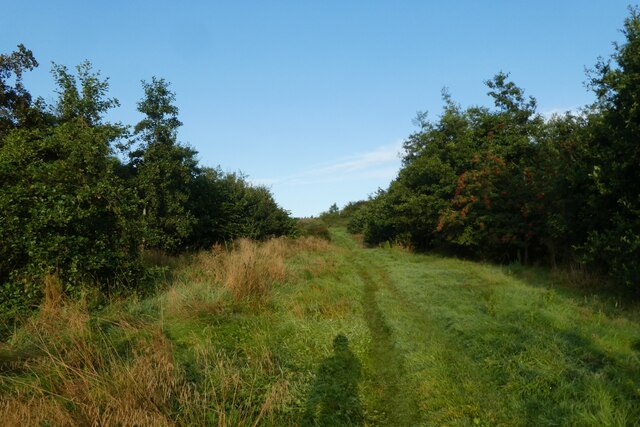
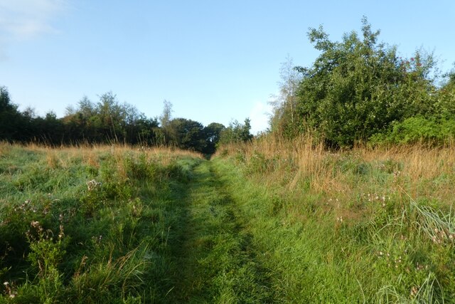
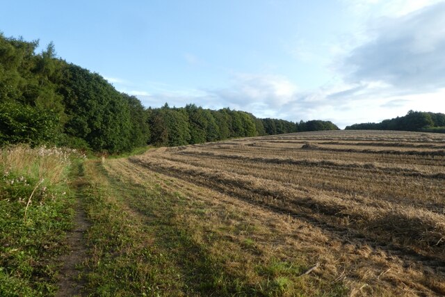
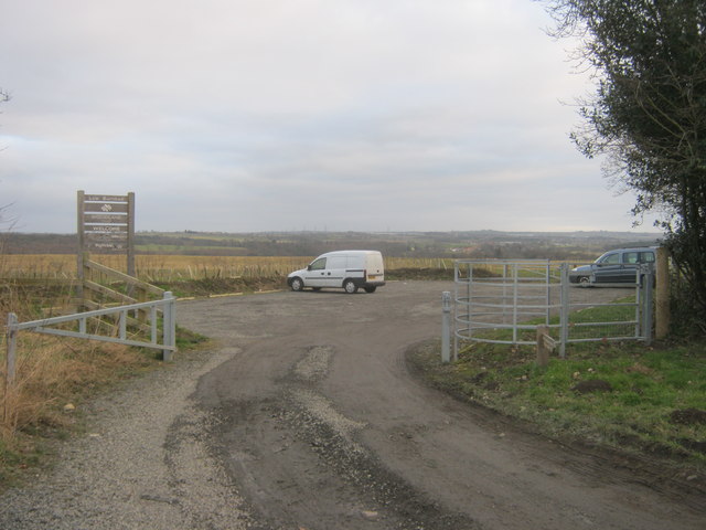
Durham is also known for its beautiful countryside, with rolling hills, valleys, and the River Wear winding through the county. The North Pennines Area of Outstanding Natural Beauty is located in the western part of the county, offering breathtaking landscapes and opportunities for outdoor activities such as hiking and cycling.
The county is steeped in history, with numerous castles, historic houses, and ancient ruins scattered throughout. These include Barnard Castle, Raby Castle, and the ruins of Finchale Priory, among others.
In addition to its historical and natural attractions, Durham is home to a thriving cultural scene. The county hosts various festivals, including the Durham Book Festival and the Durham Brass Festival, showcasing music, literature, and art.
Overall, Durham is a county that seamlessly combines its rich history, stunning landscapes, and vibrant culture, making it an enticing destination for visitors from around the world.
If you have any feedback on the listing, please let us know in the comments section below.
Durham Images
Images are sourced within 2km of 54.7678/-1.5795 or Grid Reference NZ2741. Thanks to Geograph Open Source API. All images are credited.
Durham is located at Grid Ref: NZ2741 (Lat: 54.7678, Lng: -1.5795)
What 3 Words
///bake.device.modern. Near Durham, Co. Durham
Nearby Locations
Related Wikis
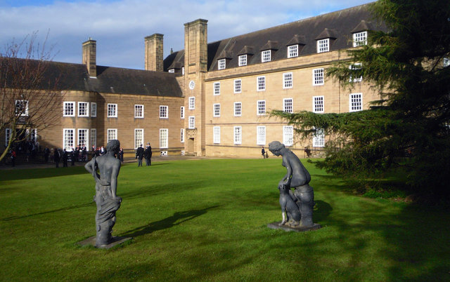
St Mary's College, Durham
St Mary's College is a college of Durham University in England. Following the grant of a supplemental charter in 1895 allowing women to receive degrees...

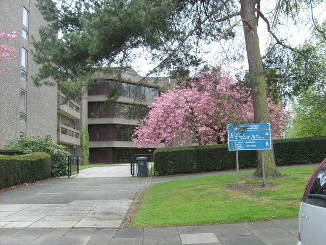
Lower Mountjoy Teaching and Learning Centre
The Lower Mountjoy Teaching and Learning Centre (TLC) is an educational building of Durham University in Durham, England. It is intended to blend into...

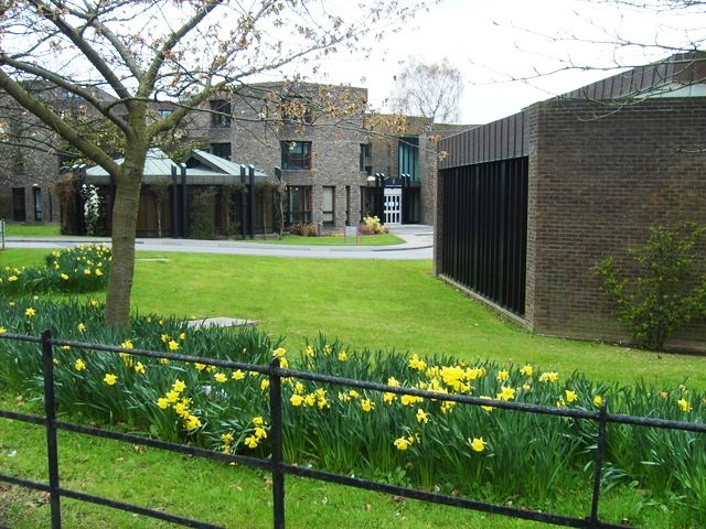
Institute for Computational Cosmology
The Institute for Computational Cosmology (ICC) is a Research Institute at Durham University, England. It was founded in November 2002 as part of the Ogden...

St Cuthbert's Society, Durham
St Cuthbert's Society, colloquially known as Cuth's, is a college of Durham University. It was founded in 1888 for students who were not attached to the...
Durham University Library
The Durham University Library is the centrally administered library of Durham University in England and is part of the university's Library and Collections...
Trevelyan College, Durham
Trevelyan College (known colloquially as Trevs) is a college of Durham University, England. Founded in 1966, the college takes its name from social historian...

Grey College, Durham
Grey College is a college of Durham University in England. Although it was originally planned for the college to be named Oliver Cromwell College, this...

St Leonard's School Boat Club
St Leonard's School Boat Club is a rowing club on the River Wear, based at Prebends Bridge, Durham, County Durham. == History == The club was founded in...
Related Videos

Wet Rainy Walk, Durham City | Binaural Ambient City Sounds 4K
Walking around the historical city of Durham, England on the wet and rainy streets. Captured with the DJI Pocket 2 in 4K with ...


Walking around Durham
A few of the sights in the city of Durham Chapters - http://www.chapterstearooms.co.uk #durham #chapterstearooms.
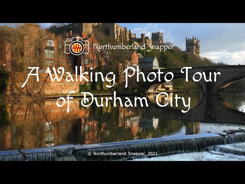
A Walking Photo Tour of Durham City
Video created and uploaded by Northumberland Snapper: http://northumberlandsnapper.blogspot.com Please remember to ...
Nearby Amenities
Located within 500m of 54.7678,-1.5795Have you been to Durham?
Leave your review of Durham below (or comments, questions and feedback).