Gloucestershire
Historic County in
England
Gloucestershire
Gloucestershire is a historic county located in the southwest of England. It is bordered by several counties, including Worcestershire to the north, Oxfordshire to the east, Wiltshire to the south, and Bristol and Somerset to the west. The county covers an area of approximately 1,025 square miles (2,655 square kilometers) and has a population of around 900,000 people.
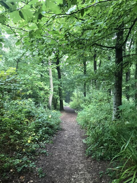
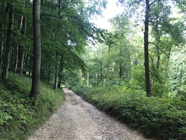
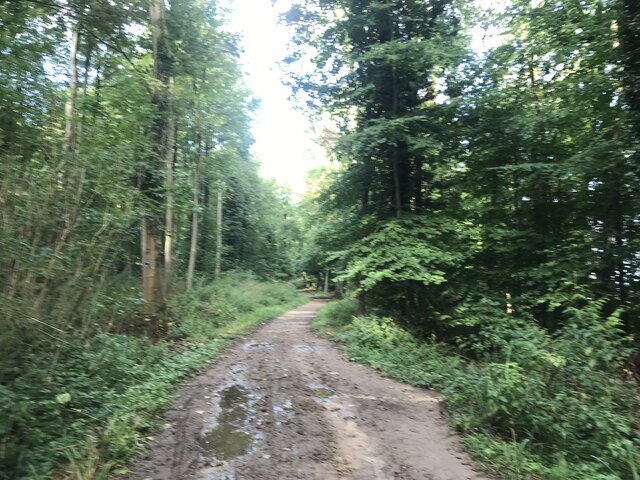
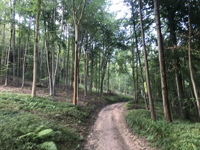
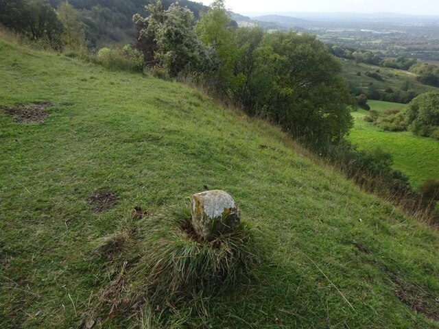
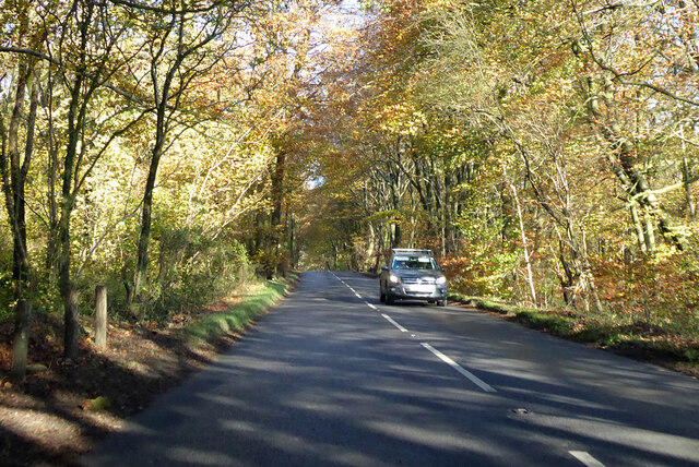
Gloucestershire is known for its picturesque landscapes, which include the rolling hills of the Cotswolds, the Forest of Dean, and the Severn Vale. This scenic beauty attracts many visitors who enjoy exploring the countryside, hiking, and cycling.
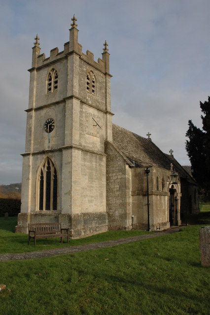
The county has a rich history and boasts several historic towns and landmarks. Gloucester, the county town, is home to the magnificent Gloucester Cathedral, a masterpiece of medieval architecture. Cheltenham, another prominent town, is renowned for its elegant Regency architecture and the famous Cheltenham Festival, a renowned horse racing event.
Gloucestershire is also known for its connections to the arts and literature. The author J.R.R. Tolkien spent much of his childhood in the county, and his experiences there inspired the creation of Middle-earth. Additionally, the playwright William Shakespeare is said to have been influenced by the Forest of Dean while writing his play "A Midsummer Night's Dream."
Furthermore, Gloucestershire has a thriving agricultural industry, with farming playing a significant role in the county's economy. It is well-known for its dairy products, notably cheese, and its famous Gloucestershire Old Spot pigs.
Overall, Gloucestershire is a county that offers a mix of natural beauty, historical landmarks, and cultural significance, making it an enticing destination for both residents and tourists alike.
If you have any feedback on the listing, please let us know in the comments section below.
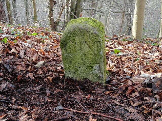
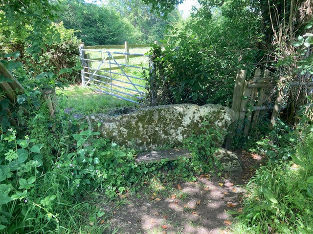
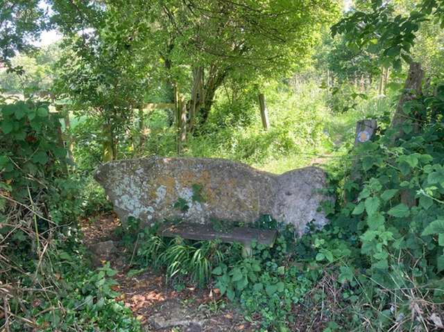
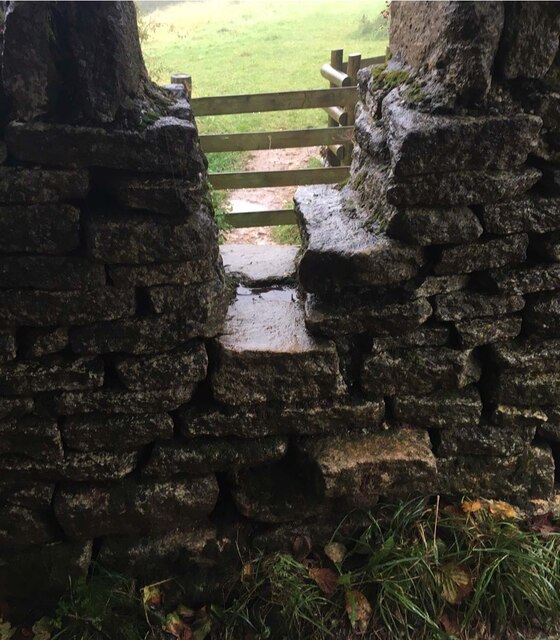
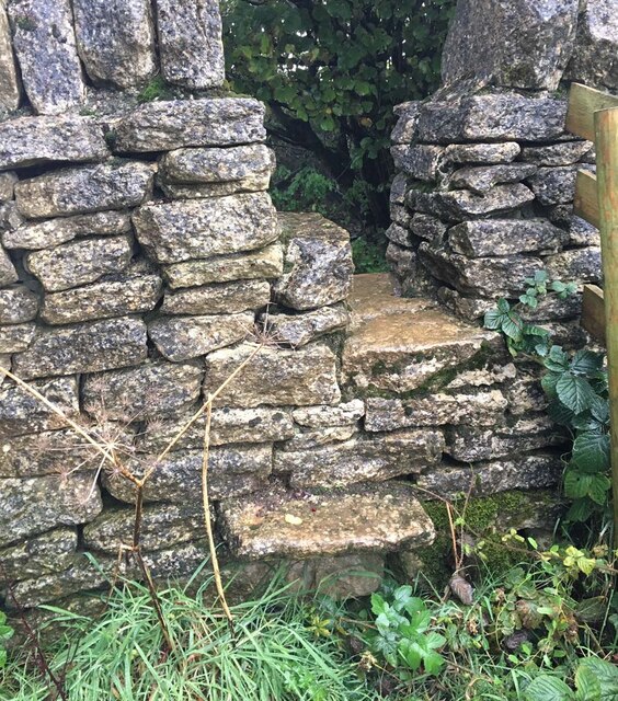
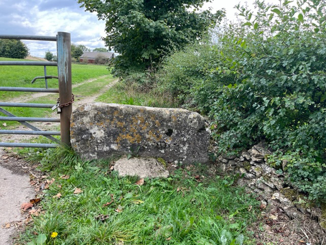
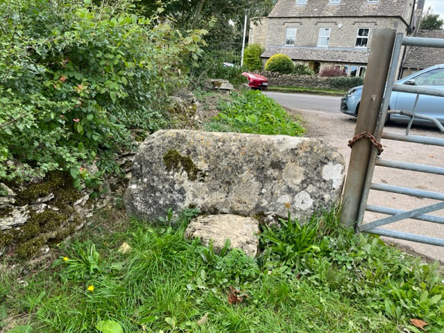
Gloucestershire Images
Images are sourced within 2km of 51.8313/-2.131446 or Grid Reference SO9114. Thanks to Geograph Open Source API. All images are credited.

Gloucestershire is located at Grid Ref: SO9114 (Lat: 51.8313, Lng: -2.131446)
What 3 Words
///cares.walks.stung. Near Shurdington, Gloucestershire
Nearby Locations
Related Wikis
Great Witcombe
Great Witcombe is a village and civil parish 5 miles (8 km) south east of Gloucester, in the Tewkesbury district, in the county of Gloucestershire, England...
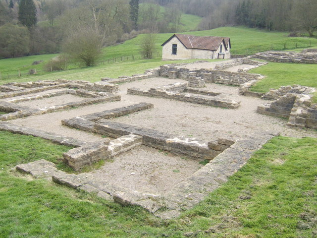
Great Witcombe Roman Villa
Great Witcombe Roman Villa was a villa built during the Roman occupation of Britain. It is located on a hillside at Great Witcombe, near Gloucester in...

Barrow Wake
Barrow Wake is a scenic view in Gloucestershire, near Birdlip, England. Barrow Wake was used as the location for the music video "Wytches" by Pagan Rock...
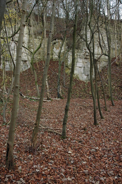
Knap House Quarry, Birdlip
Knap House Quarry, Birdlip (grid reference SO925147) is a 1.80-hectare (4.4-acre) geological Site of Special Scientific Interest in Gloucestershire, notified...
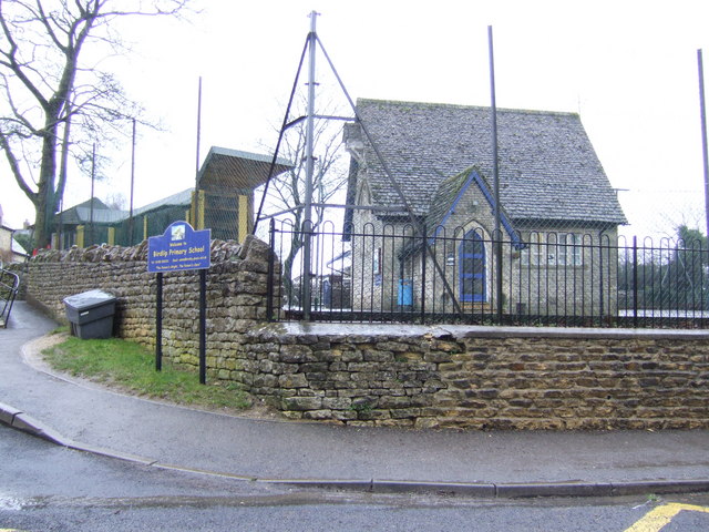
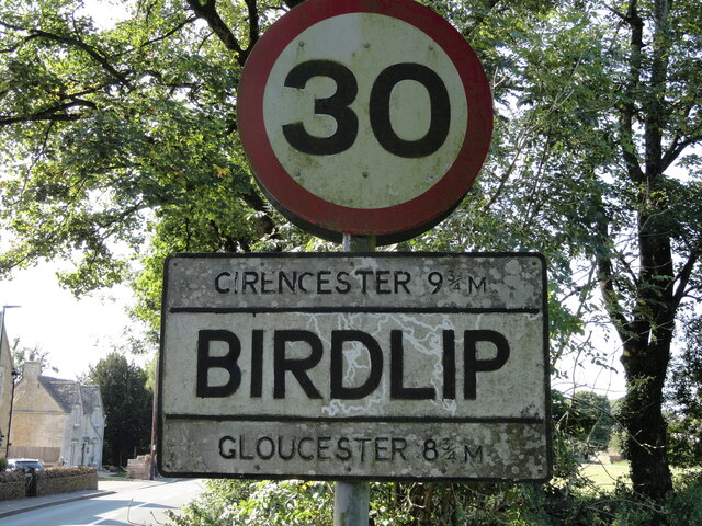
Birdlip
Birdlip is a village and civil parish, in the Cotswold district, in the county of Gloucestershire, England. It is in the Cotswolds Area of Outstanding...

Cooper's Hill Cheese-Rolling and Wake
The Cooper's Hill Cheese-Rolling and Wake is an annual event held on the Spring Bank Holiday at Cooper's Hill, near Gloucester in England. Participants...

Cotswold Commons and Beechwoods
Cotswold Commons and Beechwoods (grid reference SO900130) is a 665.5-hectare (1,644-acre) biological Site of Special Scientific Interest in Gloucestershire...
Henley Bank High School
Henley Bank High School is an 11 to 18 academy in Gloucester, England. It is sponsored by the Greenshaw Learning Trust. In January 2018, the school was...
Nearby Amenities
Located within 500m of 51.8313,-2.131446Have you been to Gloucestershire?
Leave your review of Gloucestershire below (or comments, questions and feedback).