Dorset

Historic County in

England

Dorset

Phone mast, Bulbarrow Hill If you look carefully on the right hand side, about half-way up, you can see two work men dangling.
Phone mast, Bulbarrow Hill Credit: Becky Williamson

Dorset is a historic county located in the South West region of England. It covers an area of approximately 2,653 square kilometers and has a population of around 770,000 people. The county is bordered by Devon to the west, Hampshire to the east, Somerset to the north-east, and the English Channel to the south.

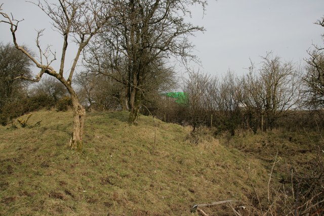
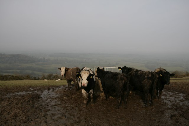
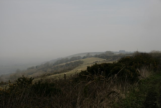
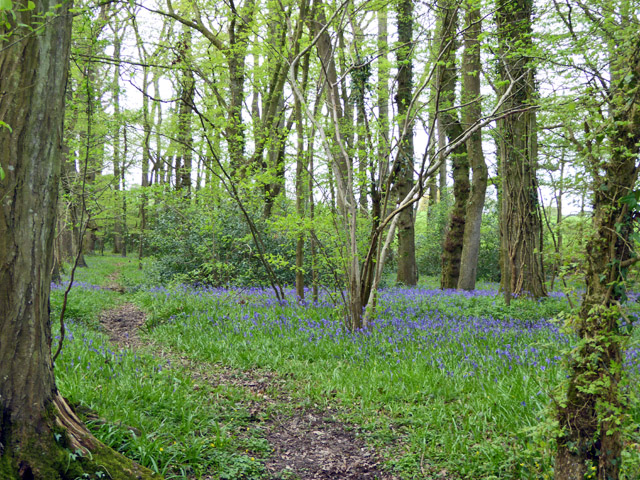
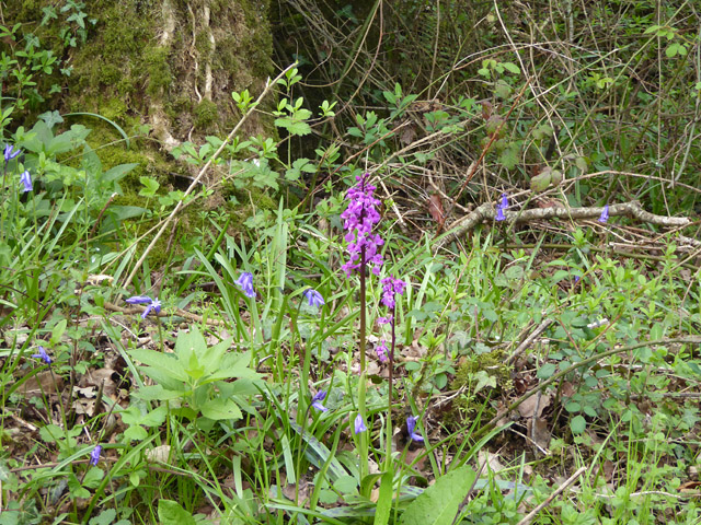
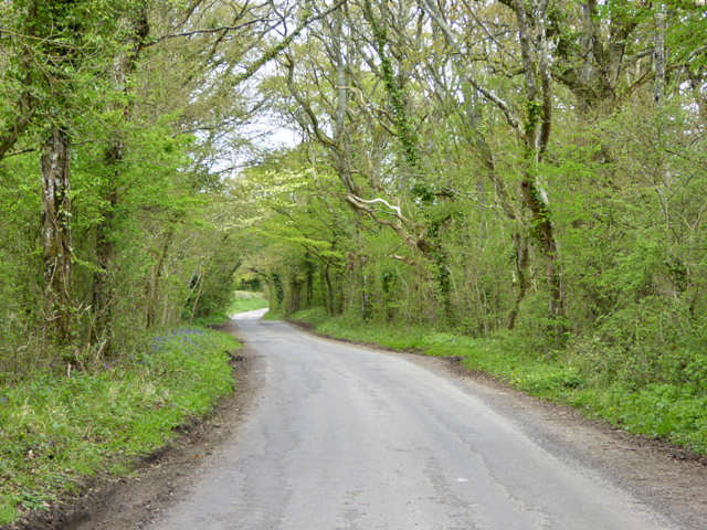
Dorset is known for its picturesque landscapes and stunning coastline, which stretches for about 140 kilometers. It is home to the Jurassic Coast, a UNESCO World Heritage Site, featuring stunning cliffs, rock formations, and fossil-rich beaches. The county is also known for its rolling hills, charming villages, and beautiful countryside, which have made it a popular destination for outdoor enthusiasts and nature lovers.

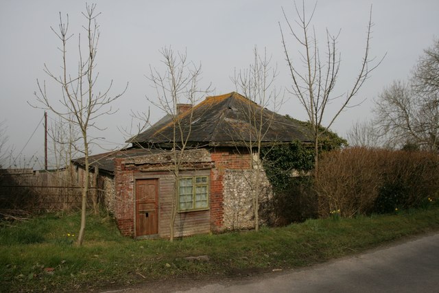
The historic county of Dorset has a rich history dating back thousands of years. It was originally inhabited by the Celtic Durotriges tribe and later became part of the Roman Empire. The county has numerous historical sites and landmarks, including the Iron Age hillfort of Maiden Castle, the ruins of Corfe Castle, and the medieval town of Sherborne.

Dorset is also famous for its connection to the writer Thomas Hardy, who drew inspiration from the county's landscapes and people in his novels. Visitors can explore Hardy's Cottage, where he was born, as well as other locations featured in his works.

In addition to its natural beauty and historical significance, Dorset offers a range of cultural and recreational activities. The county hosts various festivals, such as the Great Dorset Steam Fair and the Dorset County Show, showcasing local traditions and crafts. Dorset is also home to a vibrant arts scene, with numerous galleries, theaters, and music venues.

Overall, Dorset is a county that seamlessly blends its rich history, stunning landscapes, and cultural offerings, making it a captivating destination for visitors and residents alike.

If you have any feedback on the listing, please let us know in the comments section below.
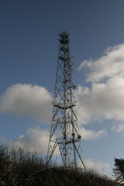
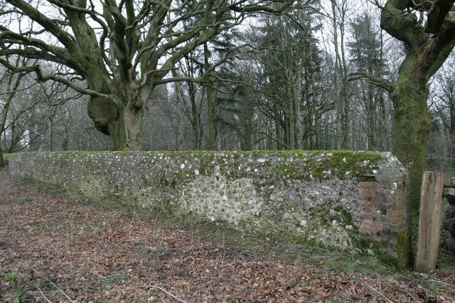
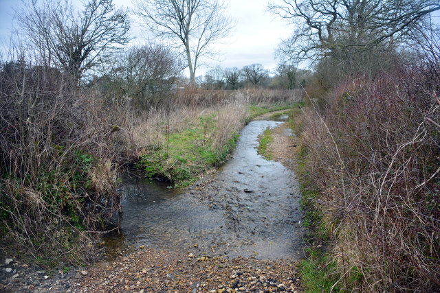
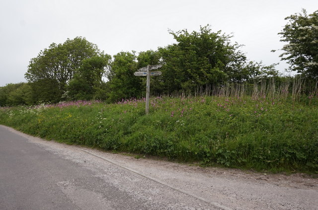
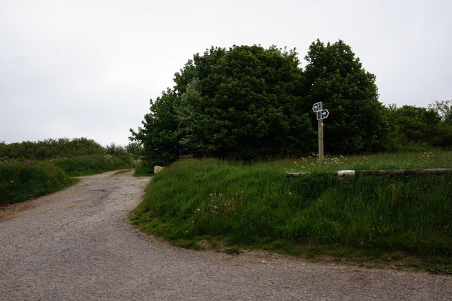
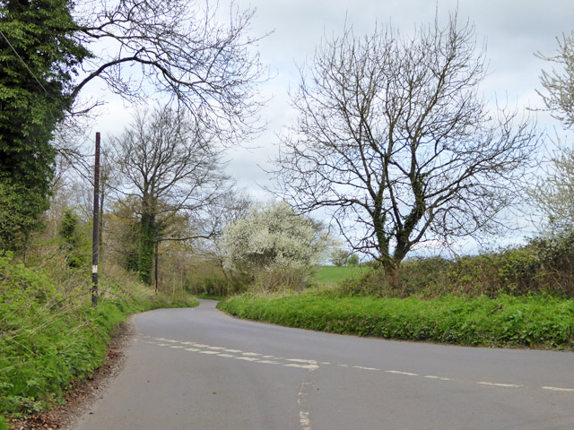
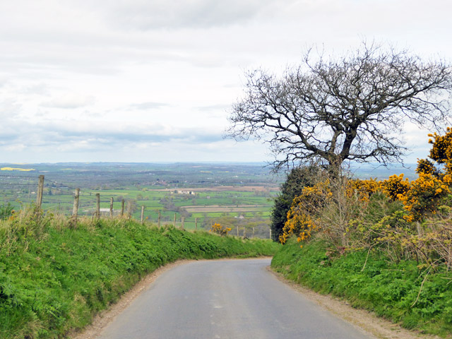
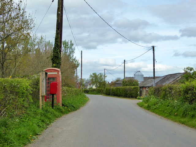
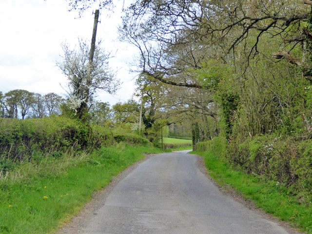
Dorset Images

Images are sourced within 2km of 50.8647/-2.3166 or Grid Reference ST7707. Thanks to Geograph Open Source API. All images are credited.

Phone mast, Bulbarrow Hill If you look carefully on the right hand side, about half-way up, you can see two work men dangling.
Phone mast, Bulbarrow Hill
If you look carefully on the right hand side, about half-way up, you can see two work men dangling.
Wall at Delcombe Head There is an Ordnance Survey benchmark on the wall end. See <span class="nowrap"><a title="http://www.bench-marks.org.uk/bm47073" rel="nofollow ugc noopener" href="http://www.bench-marks.org.uk/bm47073">Link</a><img style="margin-left:2px;" alt="External link" title="External link - shift click to open in new window" src="https://s1.geograph.org.uk/img/external.png" width="10" height="10"/></span> for description and <a href="https://www.geograph.org.uk/photo/4863413">ST7805 : Benchmark on wall, Delcombe Head</a> for closer picture.
Wall at Delcombe Head
There is an Ordnance Survey benchmark on the wall end. See LinkExternal link for description and ST7805 : Benchmark on wall, Delcombe Head for closer picture.
Benchmark on wall, Delcombe Head Ordnance Survey benchmark, described on database at <span class="nowrap"><a title="http://www.bench-marks.org.uk/bm47073" rel="nofollow ugc noopener" href="http://www.bench-marks.org.uk/bm47073">Link</a><img style="margin-left:2px;" alt="External link" title="External link - shift click to open in new window" src="https://s1.geograph.org.uk/img/external.png" width="10" height="10"/></span>. For context photo, see <a href="https://www.geograph.org.uk/photo/4863400">ST7805 : Wall at Delcombe Head</a>.
Benchmark on wall, Delcombe Head
Ordnance Survey benchmark, described on database at LinkExternal link. For context photo, see ST7805 : Wall at Delcombe Head.
Ibberton Ford This ford at Marsh Farm, Ibberton runs along the byway for about 50 metres.
Ibberton Ford
This ford at Marsh Farm, Ibberton runs along the byway for about 50 metres.
Cross Dyke at Ibberton
Baker's Folly, Ibberton
Cows and mud on Chitcombe Down Taken from the Wessex ridgeway, looking north on a very misty morning.
Cows and mud on Chitcombe Down
Taken from the Wessex ridgeway, looking north on a very misty morning.
Misty morning on Chitcombe Down
Cross Tracks on Chitcombe Down
Bridleway at Ibberton Hill
Rural road junction The road ahead, according to the signpost here, goes to Bulbarrow, Stoke Wake and Ansty Cross.
Rural road junction
The road ahead, according to the signpost here, goes to Bulbarrow, Stoke Wake and Ansty Cross.
View north-west from Bulbarrow Hill
Woolland church A grade II listed building, about 1857. 'Unknown dedication' - odd for such a late church, surely someone must know.
Woolland church
A grade II listed building, about 1857. 'Unknown dedication' - odd for such a late church, surely someone must know.
Notice board, postbox, telephone box, Woolland Across the road from Skinners Farm.
Notice board, postbox, telephone box, Woolland
Across the road from Skinners Farm.
Lane north from Woolland Heading towards Fifehead St. Quintin.
Lane north from Woolland
Heading towards Fifehead St. Quintin.
Bluebells, Fudge Copse
Laneside Early Purple Orchids Beating the bluebells into good flower, as is normally the case.
Laneside Early Purple Orchids
Beating the bluebells into good flower, as is normally the case.
Lane towards Fifehead St Quintin A stretch with interesting woodland flora.
Lane towards Fifehead St Quintin
A stretch with interesting woodland flora.
Show me another place!

Dorset is located at Grid Ref: ST7707 (Lat: 50.8647, Lng: -2.3166)

What 3 Words

///squashes.sending.pints. Near Shillingstone, Dorset

Nearby Locations

Dorset Long Wood Woolland

Related Wikis

Woolland

Woolland is a village and civil parish in north Dorset, England, situated in the Blackmore Vale under Bulbarrow Hill 7 miles (11 km) west of Blandford...

Ibberton

Ibberton is a village and civil parish in the county of Dorset in southern England. It is situated in the Blackmore Vale under the scarp face of the Dorset...

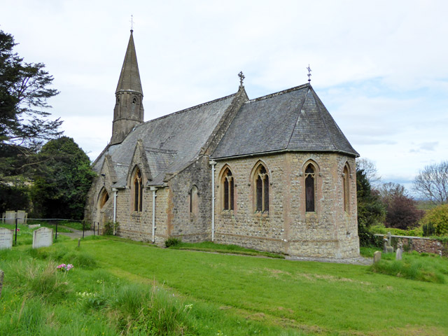
Church of St Eustace, Ibberton

The Parish Church of St Eustace is a Grade II* listed Anglican church in the village of Ibberton, Dorset. It stands to the south of the village, on a steep...

Stoke Wake

Stoke Wake is a hamlet and civil parish, formerly part of the Whiteway hundred in north Dorset, England. It is situated under Bulbarrow Hill on the edge...

Nearby Amenities

Located within 500m of 50.8647,-2.3166
Woolland
Is In: Dorset, England, UK
Place: village
Lat/Long: 50.8618627/-2.3204579
Colour: gray
Design: portal
Line Attachment: suspension
Material: metal
Power: tower
Source: bing
Structure: lattice
Lat/Long: 50.8669509/-2.3113561
Colour: gray
Design: portal
Line Attachment: suspension
Material: metal
Power: tower
Source: bing
Structure: lattice
Lat/Long: 50.8674487/-2.3129034
Colour: gray
Design: portal
Line Attachment: suspension
Material: metal
Power: tower
Source: bing
Structure: lattice
Lat/Long: 50.8683833/-2.3157992
Material: wood
Power: pole
Source: bing
Lat/Long: 50.8654711/-2.3134089
Material: wood
Power: pole
Source: bing
Lat/Long: 50.8672799/-2.3172187
Material: wood
Power: pole
Source: bing
Lat/Long: 50.8679384/-2.3185036
Material: wood
Power: pole
Source: bing
Lat/Long: 50.868601/-2.3198868
Post Box
Post Box Type: lamp
Ref: DT11 100
Ref GB Uprn: 10015441929
Royal Cypher: EIIR
Royal Cypher Wikidata: Q33102113
Lat/Long: 50.8658104/-2.3179146
Barrier: yes
Lat/Long: 50.8661352/-2.3178107
Power: pole
Source: bing
Lat/Long: 50.8611343/-2.318987
Power: pole
Source: bing
Lat/Long: 50.8618267/-2.3171242
Power: pole
Source: bing
Lat/Long: 50.8625251/-2.3161747
Power: pole
Source: bing
Lat/Long: 50.865038/-2.3152905
Power: pole
Source: bing
Lat/Long: 50.864736/-2.3147665
Power: pole
Source: bing
Lat/Long: 50.8644254/-2.3142274
Power: pole
Source: bing
Lat/Long: 50.8640826/-2.3136319
Power: pole
Source: bing
Lat/Long: 50.8637491/-2.3130177
Power: pole
Source: bing
Lat/Long: 50.8626698/-2.3107231
Power: pole
Source: bing
Lat/Long: 50.8628992/-2.3112166
Power: pole
Source: bing
Lat/Long: 50.8631142/-2.3117356
Power: pole
Source: bing
Lat/Long: 50.8629238/-2.3116176
Poles: bipole
Power: pole
Source: bing
Transformer: distribution
Lat/Long: 50.8626004/-2.310876
Power: pole
Source: bing
Lat/Long: 50.8635307/-2.313408
Power: pole
Source: bing
Lat/Long: 50.8631616/-2.3152855
Power: pole
Source: bing
Lat/Long: 50.8638075/-2.3143883
Power: pole
Source: bing
Lat/Long: 50.8670366/-2.3161317
Power: pole
Source: bing
Lat/Long: 50.8668039/-2.3150575
Power: pole
Source: bing
Lat/Long: 50.8665567/-2.313982
Power: pole
Source: bing
Lat/Long: 50.8646421/-2.3139042
Power: pole
Source: bing
Lat/Long: 50.8663273/-2.3129185
Power: pole
Source: bing
Lat/Long: 50.8670544/-2.3124947
Power: pole
Source: bing
Lat/Long: 50.8677459/-2.3115009
Barrier: kissing_gate
Lat/Long: 50.8619262/-2.3171147
Barrier: wicket_gate
Lat/Long: 50.862594/-2.3155397
Barrier: wicket_gate
Lat/Long: 50.8628895/-2.3149997
Barrier: wicket_gate
Lat/Long: 50.8631999/-2.3140729
Barrier: stile
Lat/Long: 50.8643994/-2.3108242
Barrier: wicket_gate
Foot: designated
Lat/Long: 50.8634742/-2.3137424
The data included in this document is from www.openstreetmap.org. The data is made available under ODbL.

Have you been to Dorset?

Leave your review of Dorset below (or comments, questions and feedback).