Long Wood
Wood, Forest in Dorset
England
Long Wood
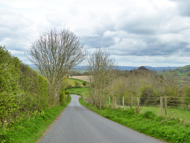
Long Wood is a sprawling forest located in the county of Dorset, England. Covering an impressive area of approximately 650 acres, this woodland is a natural haven that offers a diverse range of flora and fauna for visitors to explore.
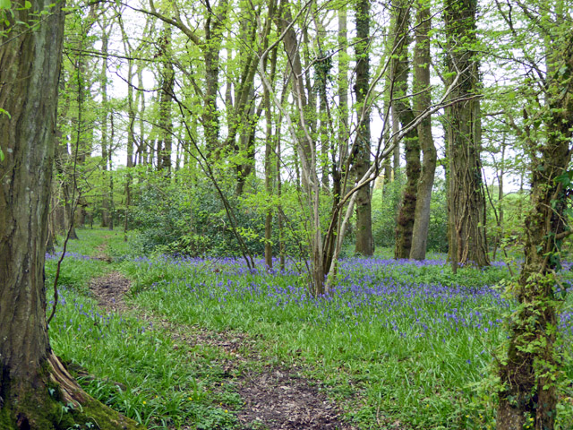
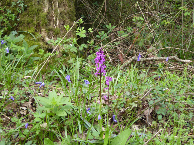
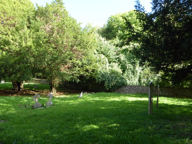
The forest is characterized by its dense canopy of tall trees, primarily consisting of oak, beech, and ash. These majestic trees provide ample shade and contribute to the tranquil atmosphere that permeates the area. Long Wood is also home to a variety of smaller plants, including ferns, bluebells, and wild garlic, which add to the overall beauty of the woodland.
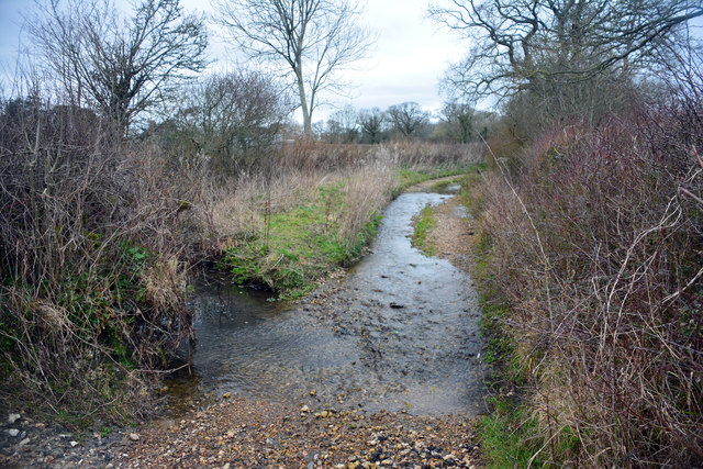
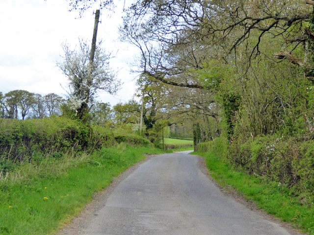
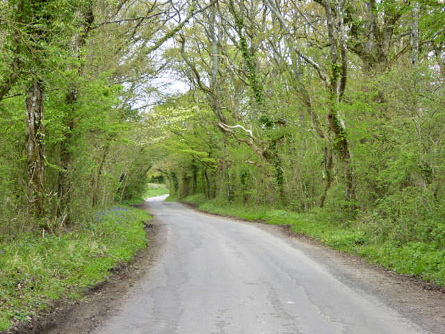
The forest is a popular spot for nature lovers and outdoor enthusiasts who enjoy activities such as hiking, birdwatching, and picnicking. It boasts a network of well-maintained trails that wind through the woods, allowing visitors to fully immerse themselves in the natural surroundings. The enchanting atmosphere of the forest is further enhanced by the presence of a babbling brook that meanders through the wood, creating a soothing and idyllic backdrop.
The wildlife in Long Wood is abundant, with many species of birds, mammals, and insects calling it home. Birdwatchers can spot common woodland birds such as woodpeckers, owls, and various songbirds. The forest also provides habitat for deer, foxes, and squirrels, among other mammals.
Long Wood is an important natural resource in Dorset, not only for its aesthetic appeal but also for its role in preserving biodiversity. It is a cherished destination for those seeking solace in nature and a place where the wonders of the wood can be experienced firsthand.
If you have any feedback on the listing, please let us know in the comments section below.
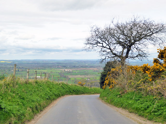
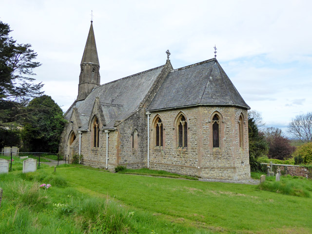
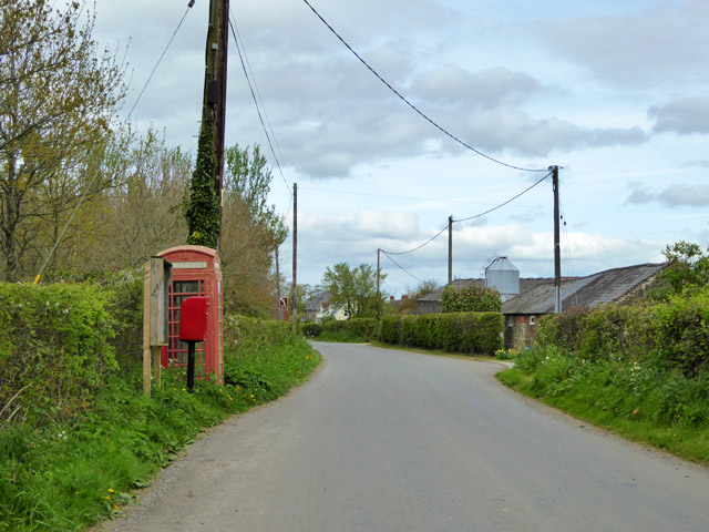
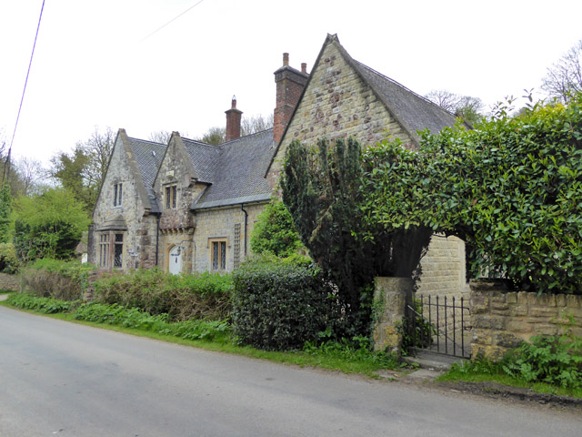
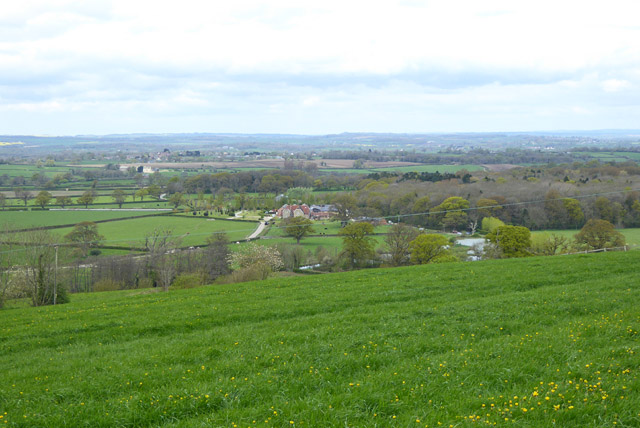
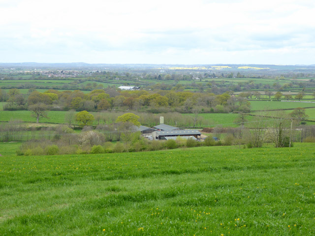
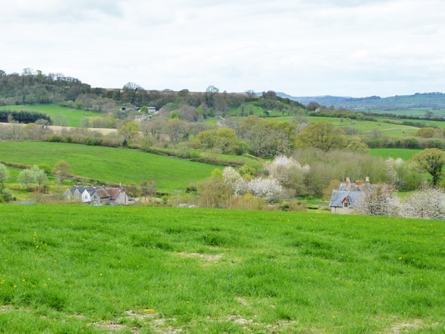
Long Wood Images
Images are sourced within 2km of 50.86793/-2.3270169 or Grid Reference ST7707. Thanks to Geograph Open Source API. All images are credited.
Long Wood is located at Grid Ref: ST7707 (Lat: 50.86793, Lng: -2.3270169)
Unitary Authority: Dorset
Police Authority: Dorset
What 3 Words
///acclaimed.being.invents. Near Shillingstone, Dorset
Related Wikis

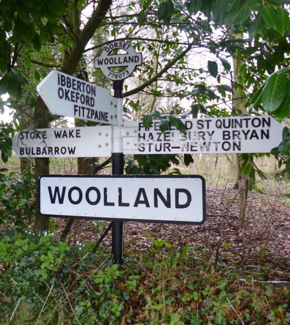
Woolland
Woolland is a village and civil parish in north Dorset, England, situated in the Blackmore Vale under Bulbarrow Hill 7 miles (11 km) west of Blandford...

Stoke Wake
Stoke Wake is a hamlet and civil parish, formerly part of the Whiteway hundred in north Dorset, England. It is situated under Bulbarrow Hill on the edge...

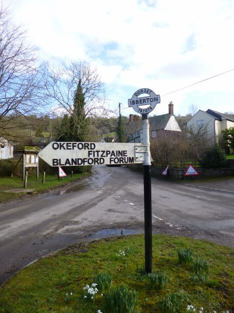
Ibberton
Ibberton is a village and civil parish in the county of Dorset in southern England. It is situated in the Blackmore Vale under the scarp face of the Dorset...

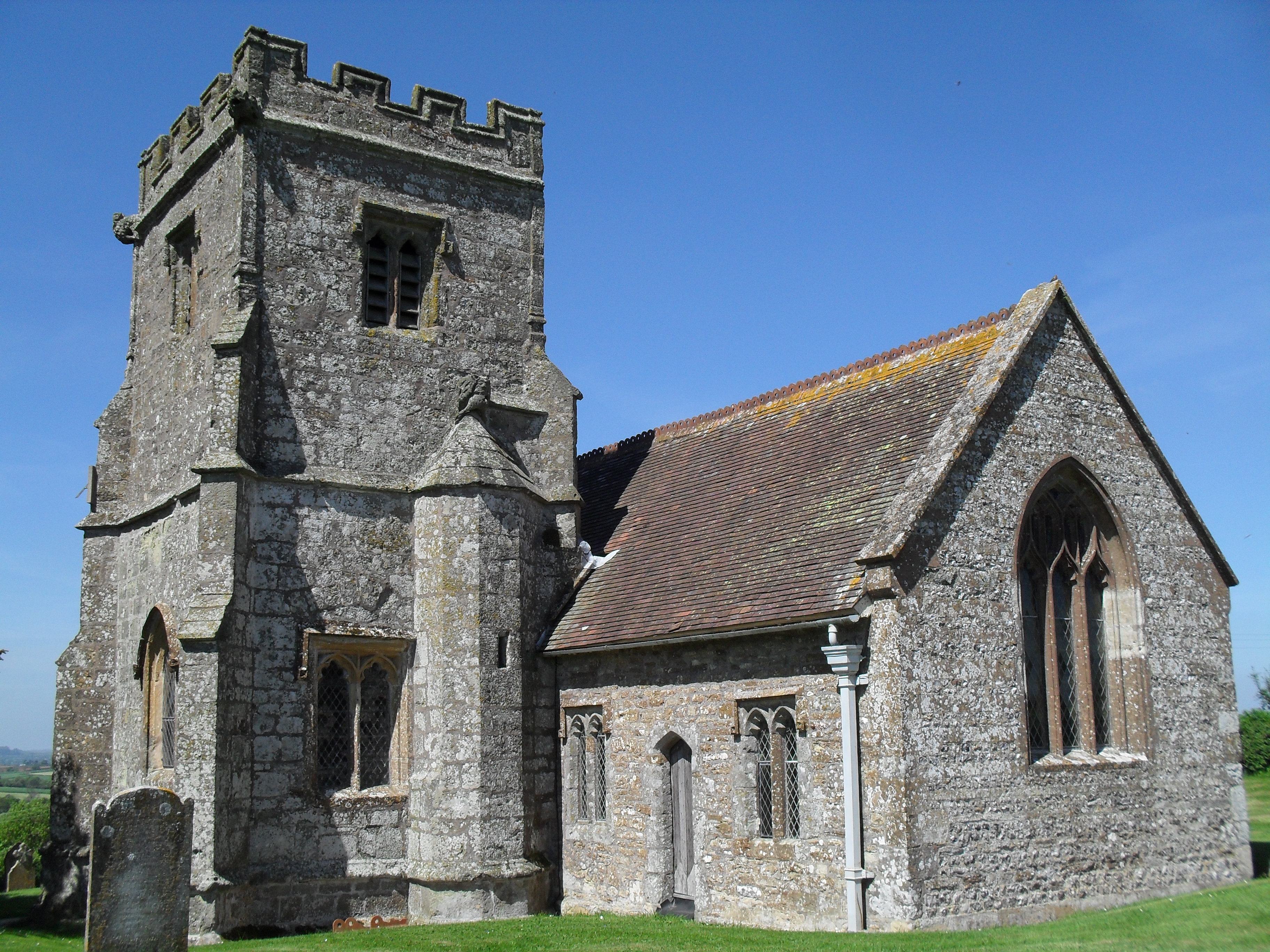
Church of St Eustace, Ibberton
The Parish Church of St Eustace is a Grade II* listed Anglican church in the village of Ibberton, Dorset. It stands to the south of the village, on a steep...

Bulbarrow Hill
Bulbarrow Hill is a 274 metres (899 ft) hill near Woolland, five miles west of Blandford Forum and ten miles (16 km) north of Dorchester in Dorset, England...

Hazelbury Bryan
Hazelbury Bryan is a village and civil parish in the county of Dorset in southern England. It is situated in the Blackmore Vale, approximately five miles...
Belchalwell
Belchalwell is a small village and former civil parish, now in the parish of Okeford Fitzpaine in the Blackmore Vale, in the Dorset district, in the ceremonial...

Belchalwell Street
Belchalwell Street is a village in Dorset, England, at the foot of Bell Hill, generally included in the village of Belchalwell. == External links == Belchalwell
Nearby Amenities
Located within 500m of 50.86793,-2.3270169Have you been to Long Wood?
Leave your review of Long Wood below (or comments, questions and feedback).