Dunn's Wood

Wood, Forest in Staffordshire Newcastle-under-Lyme

England

Dunn's Wood

The Catholic church of Our Lady and St John A side view of the chapel and presbytry
The Catholic church of Our Lady and St John Credit: Simon Huguet

Dunn's Wood is a picturesque woodland located in Staffordshire, England. Spanning over an area of approximately 50 acres, it is a haven for nature lovers and those seeking tranquility away from the bustling city life. The wood is situated just a few miles outside the town of Stafford, making it easily accessible to both locals and tourists.

The woodland is characterized by a diverse range of trees, including oak, birch, beech, and ash. These majestic trees create a dense canopy that provides shade and shelter to a variety of wildlife. The forest floor is covered with a rich carpet of wildflowers, ferns, and moss, adding to the enchanting beauty of the wood.

Dunn's Wood is crisscrossed by a network of well-maintained footpaths, allowing visitors to explore the area at their own pace. These paths lead to hidden gems within the wood, such as a peaceful pond and a small stream that meanders through the trees. The wood also boasts a dedicated picnic area, complete with benches and tables, where visitors can relax and enjoy a meal amidst the natural surroundings.

The wood is home to a plethora of wildlife, including deer, squirrels, badgers, and a wide variety of bird species. Nature enthusiasts will delight in the opportunity to observe and appreciate these creatures in their natural habitat.

Dunn's Wood is not only a haven for flora and fauna but also plays an important role in preserving the local ecosystem. The wood is managed by a dedicated team of conservationists who work tirelessly to maintain the delicate balance of the ecosystem, ensuring its sustainability for future generations to enjoy.

Overall, Dunn's Wood is a captivating destination that offers a peaceful retreat for nature lovers, providing them with a chance to immerse themselves in the beauty of Staffordshire's natural landscape.

If you have any feedback on the listing, please let us know in the comments section below.
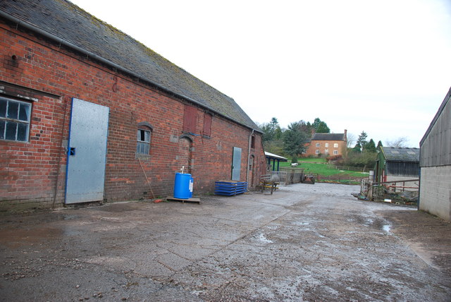
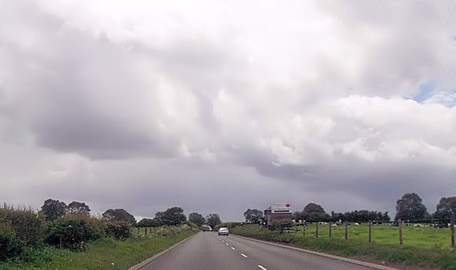
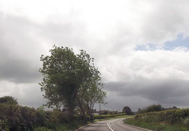
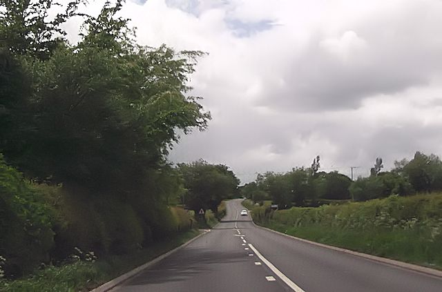
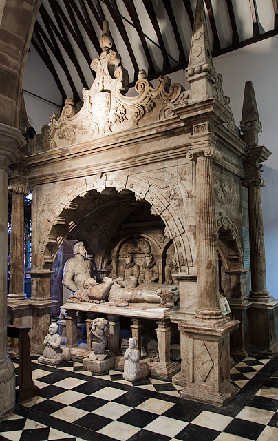
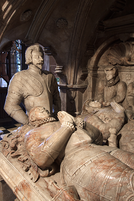
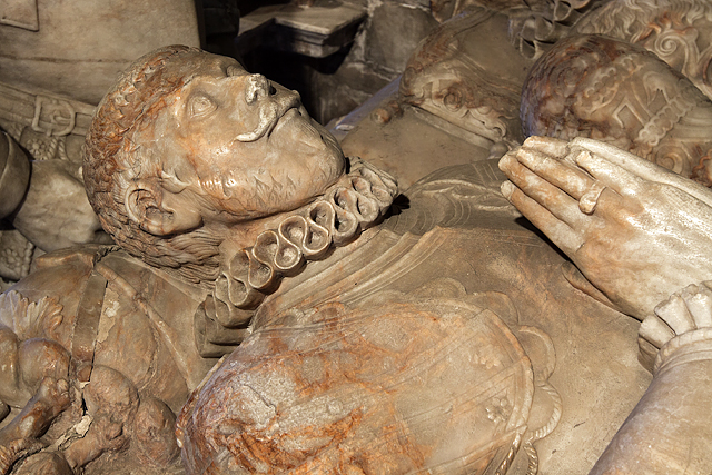
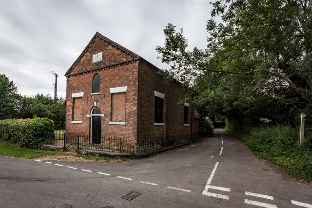
Dunn's Wood Images

Images are sourced within 2km of 52.924473/-2.3422497 or Grid Reference SJ7736. Thanks to Geograph Open Source API. All images are credited.

The Catholic church of Our Lady and St John A side view of the chapel and presbytry
The Catholic church of Our Lady and St John
A side view of the chapel and presbytry
Farm at The Rudge Well weathered red tin sheets cover most of the buildings.
Farm at The Rudge
Well weathered red tin sheets cover most of the buildings.
Roadway past Bromley Mill Farm I can't find any information about this mill, and mill pool, which is out of sight on the left of picture.
Roadway past Bromley Mill Farm
I can't find any information about this mill, and mill pool, which is out of sight on the left of picture.
Entrance drive to Bromley Mill Farm House
The yard at Bromley Mill Farm Bromley Mill farmhouse can be seen beyond the yard, it is in square SJ7835.
The yard at Bromley Mill Farm
Bromley Mill farmhouse can be seen beyond the yard, it is in square SJ7835.
Long straight on Newcastle Road near Castle Hill
Bend on A53 approaching Park Lane junction
A53 approaching School Lane junction
St John the Baptist Church, Ashley - monument to Sir Gilbert Gerard A very large monument to Sir Gilbert Gerard (†1592) and his wife (†1608). They are accompanied by two sons and six daughters.

<a href="https://www.geograph.org.uk/photo/4461166">SJ7636 : St John the Baptist Church, Ashley - monument to Sir Gilbert Gerard - detail (1)</a>
St John the Baptist Church, Ashley - monument to Sir Gilbert Gerard
A very large monument to Sir Gilbert Gerard (†1592) and his wife (†1608). They are accompanied by two sons and six daughters. SJ7636 : St John the Baptist Church, Ashley - monument to Sir Gilbert Gerard - detail (1)
St John the Baptist Church, Ashley - monument to Sir Gilbert Gerard - detail (1) Sir Gilbert Gerard (†1592) and his wife.

<a href="https://www.geograph.org.uk/photo/4461171">SJ7636 : St John the Baptist Church, Ashley - monument to Sir Gilbert Gerard - detail (2)</a>
St John the Baptist Church, Ashley - monument to Sir Gilbert Gerard - detail (1)
St John the Baptist Church, Ashley - monument to Sir Gilbert Gerard - detail (2) Sir Gilbert Gerard (†1592).
St John the Baptist Church, Ashley - monument to Sir Gilbert Gerard - detail (2)
Sir Gilbert Gerard (†1592).
St John the Baptist Church, Ashley View of the chancel with its painted ceiling and reredos.
St John the Baptist Church, Ashley
View of the chancel with its painted ceiling and reredos.
St John the Baptist Church, Ashley It has an early C17 tower, whilst the rest belongs to a restoration of 1861-62 by J. Ashdown of London.

<a href="https://www.geograph.org.uk/photo/4461175">SJ7636 : St John the Baptist Church, Ashley</a>
St John the Baptist Church, Ashley
It has an early C17 tower, whilst the rest belongs to a restoration of 1861-62 by J. Ashdown of London. SJ7636 : St John the Baptist Church, Ashley
Ashley Congregational Chapel Built 1841
Ashley Congregational Chapel
Built 1841
Wharmadine Manor, Ashely Looks like it was burnt down in Nov 2013.
Wharmadine Manor, Ashely
Looks like it was burnt down in Nov 2013.
Ashley (Staffs) St John the Baptist's Church
Bromley Mill Farm
Bromley Mill Farm
Bromley Pool
Bromley Pool
Show me another place!

Dunn's Wood is located at Grid Ref: SJ7736 (Lat: 52.924473, Lng: -2.3422497)

Administrative County: Staffordshire

District: Newcastle-under-Lyme

Police Authority: Staffordshire

What 3 Words

///fools.slept.cowering. Near Standon, Staffordshire

Related Wikis

Ashley, Staffordshire

Ashley is a village and former civil parish, now in the parish of Loggerheads, in the Newcastle-under-Lyme district, in the county of Staffordshire, England...

Maer, Staffordshire

Maer is a rural village and civil parish in the Borough of Newcastle-under-Lyme, Staffordshire, England, to the west of the pottery manufacturing town...

Maer Hall

Maer Hall is a large Grade II listed 17th-century country house in Maer, Staffordshire, set in a park which is listed Grade II in Historic England's Register...

Berth Hill

Berth Hill is an Iron Age hillfort in Staffordshire, England, about 5 miles (8.0 km) south-west of Newcastle-under-Lyme, and near the village of Maer....

Loggerheads, Staffordshire

Loggerheads is a village and civil parish in north-west Staffordshire, England, on the A53 between Market Drayton and Newcastle-under-Lyme. == Name... ==

Coombesdale

Coombesdale is a small settlement in Staffordshire, England. It is near the A51 road and is 6 kilometres (4 mi) southwest of the city of Stoke-on-Trent...

Newcastle-under-Lyme Rural District

Newcastle-under-Lyme Rural District was a rural district in the county of Staffordshire. It was formed in 1894 with the civil parishes of Ashley, Audley...

Bowers, Staffordshire

Bowers is a village in Staffordshire, England. For population details as taken in the 2011 census see Standon.

Nearby Amenities

Located within 500m of 52.924473,-2.3422497
Power: pole
Source: Bing
Lat/Long: 52.9252496/-2.3424214
Power: pole
Source: Bing
Lat/Long: 52.9259837/-2.3409864
Power: pole
Source: Bing
Lat/Long: 52.9234612/-2.3458895
Power: pole
Source: Bing
Lat/Long: 52.9228095/-2.3475257
Power: pole
Source: Bing
Lat/Long: 52.9240449/-2.3447737
Power: pole
Source: Bing
Lat/Long: 52.9246287/-2.3436338
Power: pole
Source: Bing
Lat/Long: 52.9274147/-2.3382211
Power: pole
Source: Bing
Lat/Long: 52.9266531/-2.3397097
Barrier: stile
Lat/Long: 52.9233351/-2.3487125
Barrier: stile
Lat/Long: 52.9218526/-2.3402666
Barrier: stile
Lat/Long: 52.9235359/-2.3466458
Barrier: stile
Lat/Long: 52.9223135/-2.3420191
Source: Bing
Lat/Long: 52.9203174/-2.3445939
Source: Bing
Lat/Long: 52.9203763/-2.3447565
Source: Bing
Lat/Long: 52.920399/-2.3448191
Source: Bing
Lat/Long: 52.9202688/-2.3444597
Source: Bing
Lat/Long: 52.9203709/-2.344358
Source: Bing
Lat/Long: 52.9205011/-2.3447174
Source: Bing
Lat/Long: 52.9220551/-2.345363
Source: Bing
Lat/Long: 52.9220786/-2.3453651
Source: Bing
Lat/Long: 52.9221005/-2.3453508
Source: Bing
Lat/Long: 52.922117/-2.3453228
Source: Bing
Lat/Long: 52.922125/-2.3452861
Source: Bing
Lat/Long: 52.9221149/-2.3452196
Source: Bing
Lat/Long: 52.9221018/-2.3451981
Source: Bing
Lat/Long: 52.9220851/-2.3451849
Source: Bing
Lat/Long: 52.9220667/-2.3451814
Source: Bing
Lat/Long: 52.9220297/-2.3452093
Source: Bing
Lat/Long: 52.9220175/-2.3452413
Source: Bing
Lat/Long: 52.922014/-2.3452788
Source: Bing
Lat/Long: 52.9220199/-2.3453154
Source: Bing
Lat/Long: 52.9220918/-2.3454368
Source: Bing
Lat/Long: 52.9220933/-2.3454763
Source: Bing
Lat/Long: 52.9221048/-2.345511
Source: Bing
Lat/Long: 52.922124/-2.3455344
Source: Bing
Lat/Long: 52.9221681/-2.3455346
Source: Bing
Lat/Long: 52.9221856/-2.3455146
Source: Bing
Lat/Long: 52.9221972/-2.3454851
Source: Bing
Lat/Long: 52.9222013/-2.3454505
Source: Bing
Lat/Long: 52.9221971/-2.345416
Source: Bing
Lat/Long: 52.9221695/-2.3453681
Source: Bing
Lat/Long: 52.9221507/-2.3453598
Source: Bing
Lat/Long: 52.9221314/-2.3453629
Source: Bing
Lat/Long: 52.9221139/-2.3453768
Source: Bing
Lat/Long: 52.9221004/-2.3454
Source: Bing
Lat/Long: 52.9221473/-2.3455422
Source: Bing
Lat/Long: 52.9221853/-2.3453866
Source: Bing
Lat/Long: 52.9220487/-2.3451881
Source: Bing
Lat/Long: 52.9220341/-2.345345
Source: Bing
Lat/Long: 52.9221231/-2.3452471
The data included in this document is from www.openstreetmap.org. The data is made available under ODbL.

Have you been to Dunn's Wood?

Leave your review of Dunn's Wood below (or comments, questions and feedback).