Akesworth Coppice

Wood, Forest in Staffordshire Stafford

England

Akesworth Coppice

Roadway past Bromley Mill Farm I can't find any information about this mill, and mill pool, which is out of sight on the left of picture.
Roadway past Bromley Mill Farm Credit: Mick Malpass

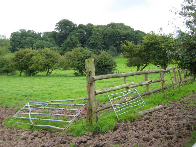
Akesworth Coppice, located in Staffordshire, is a picturesque woodland area that spans across several acres. Nestled amidst the rolling hills and picturesque countryside, this coppice offers visitors a serene and tranquil escape from the hustle and bustle of daily life.

The woodland is primarily composed of deciduous trees, including oak, birch, and beech, which create a lush and vibrant canopy during the warmer months. The forest floor is adorned with a rich carpet of ferns, wildflowers, and mosses, adding to the beauty and diversity of the area.

Akesworth Coppice is a haven for wildlife enthusiasts, as it provides a habitat for a wide variety of species. Birdwatchers can spot numerous avian species, including woodpeckers, owls, and songbirds. Squirrels, rabbits, and deer are also commonly sighted in the area, adding to the charm and natural appeal of the coppice.

Visitors can explore the woodland through a network of well-maintained trails, which meander through the trees and offer stunning views of the surrounding landscape. These trails are suitable for walkers of all abilities and provide an opportunity to immerse oneself in the beauty of nature.

The coppice is also a popular destination for outdoor activities such as picnicking, photography, and nature walks. Its tranquil atmosphere and natural beauty make it an ideal spot for individuals and families seeking a peaceful retreat in the heart of Staffordshire.

Overall, Akesworth Coppice in Staffordshire offers a unique and enchanting woodland experience, showcasing the beauty and diversity of the natural world.

If you have any feedback on the listing, please let us know in the comments section below.

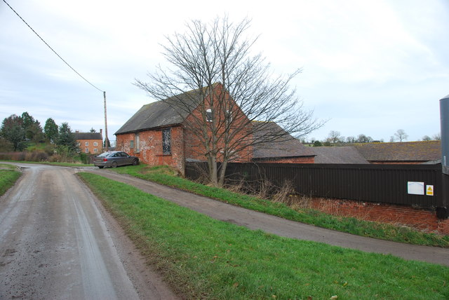
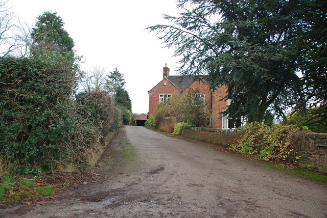
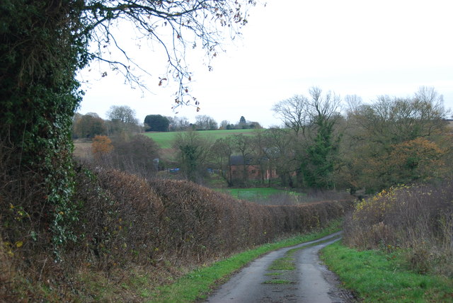
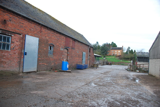
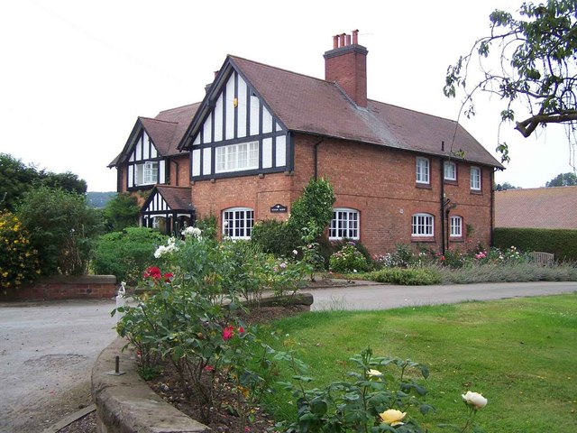
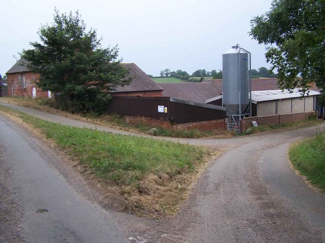
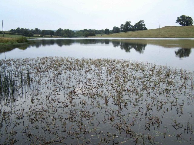
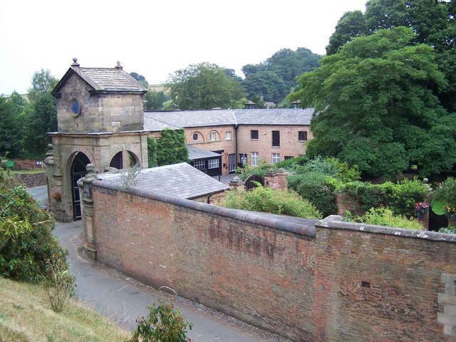
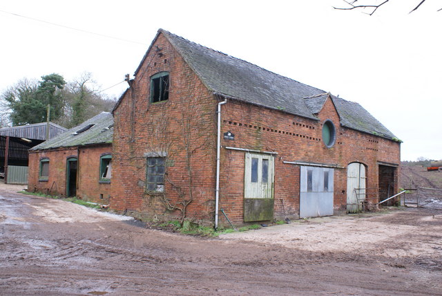
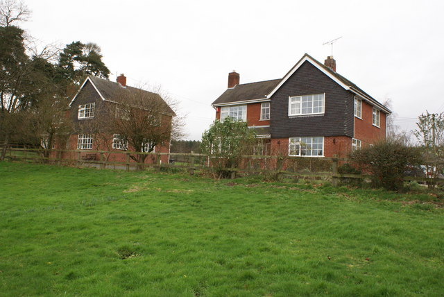
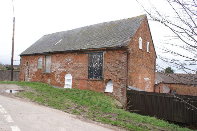
Akesworth Coppice Images

Images are sourced within 2km of 52.927051/-2.3301317 or Grid Reference SJ7736. Thanks to Geograph Open Source API. All images are credited.

Roadway past Bromley Mill Farm I can't find any information about this mill, and mill pool, which is out of sight on the left of picture.
Roadway past Bromley Mill Farm
I can't find any information about this mill, and mill pool, which is out of sight on the left of picture.
Entrance drive to Bromley Mill Farm House
Looking down towards the Bromley Brook Ford
The yard at Bromley Mill Farm Bromley Mill farmhouse can be seen beyond the yard, it is in square SJ7835.
The yard at Bromley Mill Farm
Bromley Mill farmhouse can be seen beyond the yard, it is in square SJ7835.
St John the Baptist Church, Ashley - monument to Sir Gilbert Gerard A very large monument to Sir Gilbert Gerard (†1592) and his wife (†1608). They are accompanied by two sons and six daughters.

<a href="https://www.geograph.org.uk/photo/4461166">SJ7636 : St John the Baptist Church, Ashley - monument to Sir Gilbert Gerard - detail (1)</a>
St John the Baptist Church, Ashley - monument to Sir Gilbert Gerard
A very large monument to Sir Gilbert Gerard (†1592) and his wife (†1608). They are accompanied by two sons and six daughters. SJ7636 : St John the Baptist Church, Ashley - monument to Sir Gilbert Gerard - detail (1)
St John the Baptist Church, Ashley - monument to Sir Gilbert Gerard - detail (1) Sir Gilbert Gerard (†1592) and his wife.

<a href="https://www.geograph.org.uk/photo/4461171">SJ7636 : St John the Baptist Church, Ashley - monument to Sir Gilbert Gerard - detail (2)</a>
St John the Baptist Church, Ashley - monument to Sir Gilbert Gerard - detail (1)
St John the Baptist Church, Ashley - monument to Sir Gilbert Gerard - detail (2) Sir Gilbert Gerard (†1592).
St John the Baptist Church, Ashley - monument to Sir Gilbert Gerard - detail (2)
Sir Gilbert Gerard (†1592).
St John the Baptist Church, Ashley View of the chancel with its painted ceiling and reredos.
St John the Baptist Church, Ashley
View of the chancel with its painted ceiling and reredos.
St John the Baptist Church, Ashley It has an early C17 tower, whilst the rest belongs to a restoration of 1861-62 by J. Ashdown of London.

<a href="https://www.geograph.org.uk/photo/4461175">SJ7636 : St John the Baptist Church, Ashley</a>
St John the Baptist Church, Ashley
It has an early C17 tower, whilst the rest belongs to a restoration of 1861-62 by J. Ashdown of London. SJ7636 : St John the Baptist Church, Ashley
Ashley (Staffs) St John the Baptist's Church
Western Meres Farm
Western Meres Farm
Bromley Mill Farm
Bromley Mill Farm
Bromley Pool
Bromley Pool
Entrance to Maer Hall Taken from the churchyard
Entrance to Maer Hall
Taken from the churchyard
Farm buildings at Swan Farm, Blackbrook
Swan Farm, Blackbrook
Bromley Mill Farm
Bromley Mill Farm
Castle Hill from Rock Lane Castle Hill taken from the lane before the semi detached houses
Castle Hill from Rock Lane
Castle Hill taken from the lane before the semi detached houses
Show me another place!

Akesworth Coppice is located at Grid Ref: SJ7736 (Lat: 52.927051, Lng: -2.3301317)

Administrative County: Staffordshire

District: Stafford

Police Authority: Staffordshire

What 3 Words

///flats.wasp.according. Near Standon, Staffordshire

Related Wikis

Ashley, Staffordshire

Ashley is a village and former civil parish, now in the parish of Loggerheads, in the Newcastle-under-Lyme district, in the county of Staffordshire, England...

Maer, Staffordshire

Maer is a rural village and civil parish in the Borough of Newcastle-under-Lyme, Staffordshire, England, to the west of the pottery manufacturing town...

Maer Hall

Maer Hall is a large Grade II listed 17th-century country house in Maer, Staffordshire, set in a park which is listed Grade II in Historic England's Register...

Berth Hill

Berth Hill is an Iron Age hillfort in Staffordshire, England, about 5 miles (8.0 km) south-west of Newcastle-under-Lyme, and near the village of Maer....

Coombesdale

Coombesdale is a small settlement in Staffordshire, England. It is near the A51 road and is 6 kilometres (4 mi) southwest of the city of Stoke-on-Trent...

Newcastle-under-Lyme Rural District

Newcastle-under-Lyme Rural District was a rural district in the county of Staffordshire. It was formed in 1894 with the civil parishes of Ashley, Audley...

Bowers, Staffordshire

Bowers is a village in Staffordshire, England. For population details as taken in the 2011 census see Standon.

Standon, Staffordshire

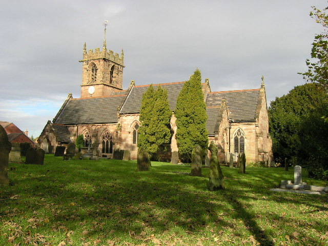
Standon is a village and civil parish in the Stafford district, in the county of Staffordshire, England. Standon has a church called Church of All Saints...

Nearby Amenities

Located within 500m of 52.927051,-2.3301317
Power: pole
Source: Bing
Lat/Long: 52.9307599/-2.3291981
Power: pole
Source: Bing
Lat/Long: 52.9300706/-2.332547
Power: pole
Source: Bing
Lat/Long: 52.9289178/-2.335543
Power: pole
Source: Bing
Lat/Long: 52.9303509/-2.3311535
Power: pole
Source: Bing
Lat/Long: 52.9283072/-2.3365983
Power: pole
Source: Bing
Lat/Long: 52.9297801/-2.3339725
Power: pole
Source: Bing
Lat/Long: 52.9310623/-2.3277015
Power: pole
Source: Bing
Lat/Long: 52.9237247/-2.3280502
Power: pole
Source: Bing
Lat/Long: 52.9258041/-2.3231793
Power: pole
Source: Bing
Lat/Long: 52.9254015/-2.3246384
Power: pole
Source: Bing
Lat/Long: 52.9243294/-2.3272804
Barrier: stile
Lat/Long: 52.9230861/-2.3286563
The data included in this document is from www.openstreetmap.org. The data is made available under ODbL.

Have you been to Akesworth Coppice?

Leave your review of Akesworth Coppice below (or comments, questions and feedback).