Fifehead Common

Wood, Forest in Dorset

England

Fifehead Common

Rolls Mill Bridge Now the bridge is insignificant, with traffic having a level crossing over the River Divelish
Rolls Mill Bridge Credit: David Smith

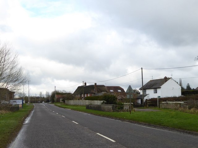
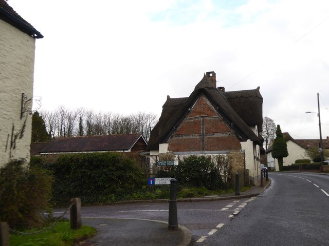
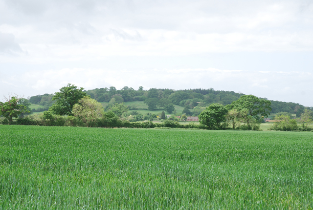
Fifehead Common is a picturesque woodland area located in the county of Dorset, England. With an area spanning approximately 100 acres, it is a haven for nature lovers and outdoor enthusiasts. The common is situated in close proximity to the village of Fifehead Magdalen and is easily accessible by foot or car.

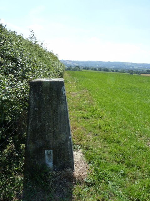
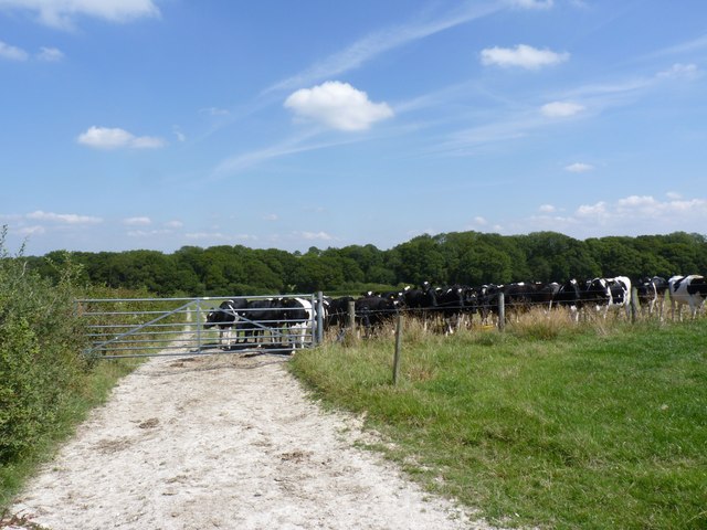
The common is characterized by its dense woodland, which mainly consists of native tree species such as oak, beech, and ash. These trees provide a habitat for a wide range of wildlife, including birds, mammals, and insects. The woodland floor is covered in a carpet of wildflowers, adding to the beauty and biodiversity of the area.

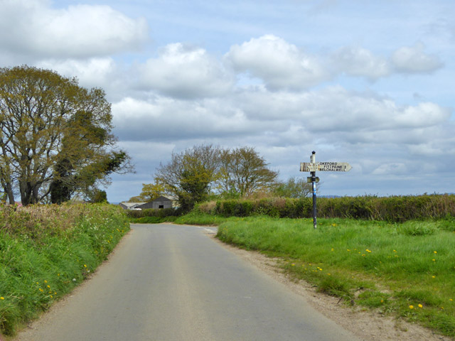
Walking trails meander through the common, allowing visitors to explore its natural wonders at their own pace. The paths are well-maintained and easy to navigate, making it suitable for families and individuals of all ages. Along the way, there are benches and picnic spots where visitors can rest and enjoy the tranquil surroundings.

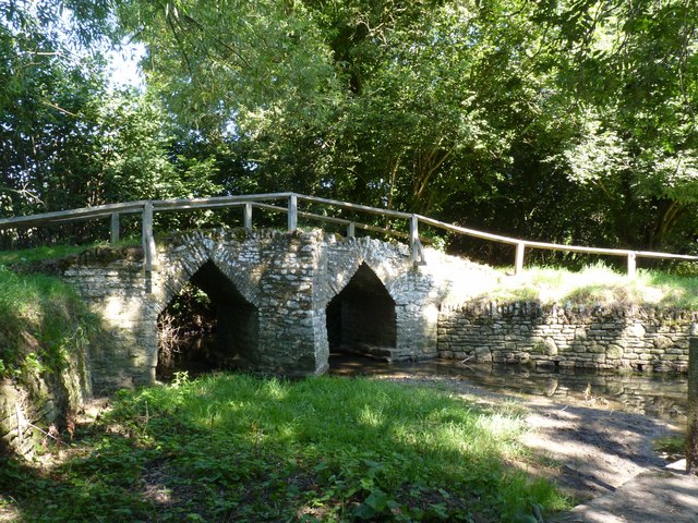
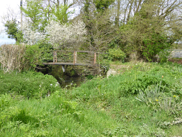
Fifehead Common also boasts a small pond, which is home to various species of amphibians and aquatic plants. The pond provides a vital water source for the local wildlife and adds to the biodiversity of the common.

The common is managed by a local conservation group, which works tirelessly to preserve its natural beauty and protect its inhabitants. They organize regular events and educational programs to raise awareness about the importance of nature conservation.

Overall, Fifehead Common is a hidden gem in Dorset, offering a peaceful and enchanting woodland experience for those seeking solace in nature.

If you have any feedback on the listing, please let us know in the comments section below.

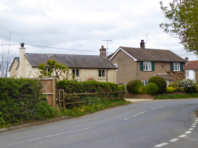
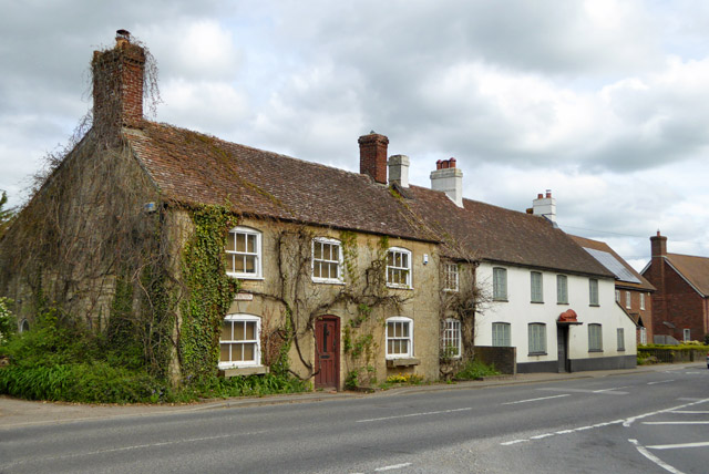
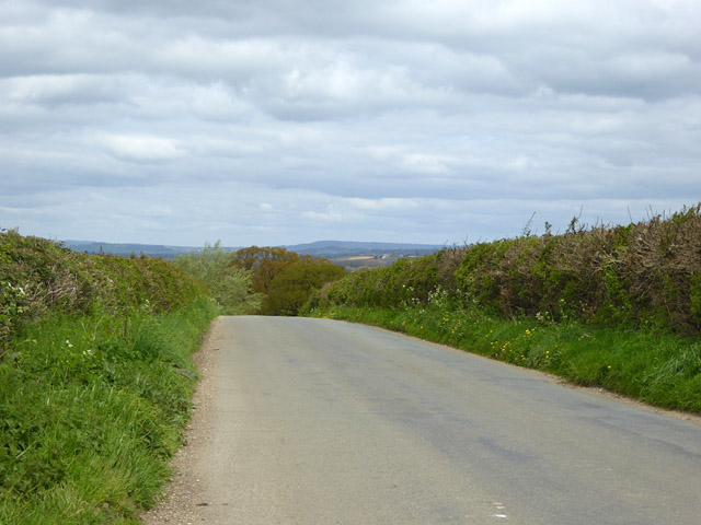
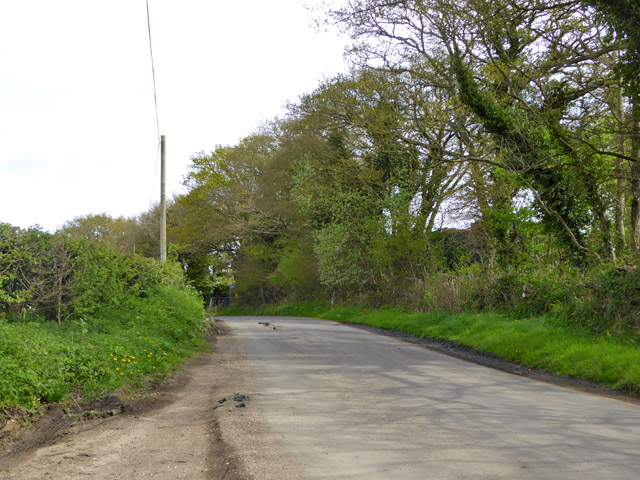
Fifehead Common Images

Images are sourced within 2km of 50.903275/-2.315589 or Grid Reference ST7711. Thanks to Geograph Open Source API. All images are credited.

Rolls Mill Bridge Now the bridge is insignificant, with traffic having a level crossing over the River Divelish
Rolls Mill Bridge
Now the bridge is insignificant, with traffic having a level crossing over the River Divelish
The end wall of a cottage in Newton This wall is interesting for the brick filling the gaps between the wooden beams of the thatched cottage
The end wall of a cottage in Newton
This wall is interesting for the brick filling the gaps between the wooden beams of the thatched cottage
Trigpoint at Gardland's Farm
Bridge over River Divelish, Fifehead Newton
Knackers Hole The cows that put us off going any further!
Knackers Hole
The cows that put us off going any further!
Picnic area, Sturminster Newton Mill
The millpond, Sturminster Newton Mill This millpond is of the type that is alongside the river.
The millpond, Sturminster Newton Mill
This millpond is of the type that is alongside the river.
Sturminster Newton Mill The Mill existed in the 11C, as it was mentioned in Domesday Book. The part of the building with the gable facing the camera was last rebuilt c,1650. The wing to the right was built in the 18C, replacing a fulling mill. The two water wheels were replaced by a turbine in 1904. The mill is still in working order and produces flour to sell to visitors. (Information from the Sturminster Newton Museum and Mill Society's website: <span class="nowrap"><a title="http://www.sturminsternewton-museum.co.uk/the-mill/" rel="nofollow ugc noopener" href="http://www.sturminsternewton-museum.co.uk/the-mill/">Link</a><img style="margin-left:2px;" alt="External link" title="External link - shift click to open in new window" src="https://s1.geograph.org.uk/img/external.png" width="10" height="10"/></span> .)
Sturminster Newton Mill
The Mill existed in the 11C, as it was mentioned in Domesday Book. The part of the building with the gable facing the camera was last rebuilt c,1650. The wing to the right was built in the 18C, replacing a fulling mill. The two water wheels were replaced by a turbine in 1904. The mill is still in working order and produces flour to sell to visitors. (Information from the Sturminster Newton Museum and Mill Society's website: LinkExternal link .)
Millpond overflow, Sturminster Newton Mill
Footbridge over River Divelish Across the road from Lower Fifehead Farm.
Footbridge over River Divelish
Across the road from Lower Fifehead Farm.
Old pump, Lower Fifehead Farm
Road junction, Fifehead Common Roads converge towards Sturminster Newton, but the signpost arm for that direction has broken off, and for behind the camera. The remains of one arm suggest they are made of plywood.
Road junction, Fifehead Common
Roads converge towards Sturminster Newton, but the signpost arm for that direction has broken off, and for behind the camera. The remains of one arm suggest they are made of plywood.
Houses, Rivers Corner
A357 beside the River Stour at Sturminster Newton
Entrance to Sturminster Mill
Houses, Newton Grade II listed buildings, that on the right was formerly the Red Lion pub. A red lion survives over the porch.
Houses, Newton
Grade II listed buildings, that on the right was formerly the Red Lion pub. A red lion survives over the porch.
Road towards Rivers Corner
Road towards Fifehead Common
Show me another place!

Fifehead Common is located at Grid Ref: ST7711 (Lat: 50.903275, Lng: -2.315589)

Unitary Authority: Dorset

Police Authority: Dorset

What 3 Words

///grading.assembles.nurses. Near Sturminster Newton, Dorset

Related Wikis

Banbury Hill

Banbury Hillfort, or Banbury Hill Camp, is an Iron Age hillfort, about 1.25 miles (2.0 km) south of Sturminster Newton and 1 mile (1.6 km) north-west of...

Fifehead Neville

Fifehead Neville is a village and civil parish in the county of Dorset in southern England, situated in the Blackmore Vale about two miles (three kilometres...

Sturminster Newton Castle

Sturminster Newton Castle is a site consisting of the remains of a medieval manor house within an Iron Age hillfort, near Sturminster Newton in Dorset...

Rixon, Dorset

Rixon is a village near Sturminster Newton in Dorset, England. The village's transport links are currently provided by Damory Coaches, services 369 between...

Sturminster Newton Hundred

Sturminster Newton Hundred or Sturminster Newton Castle Hundred was a hundred in the county of Dorset, England, containing the following parishes: Hinton...

Piddles Wood

Piddles Wood is a small area of woodland south of the River Stour, Dorset, and a Site of Special Scientific Interest (SSSI). The site was notified as an...

Belchalwell

Belchalwell is a small village and former civil parish, now in the parish of Okeford Fitzpaine in the Blackmore Vale, in the Dorset district, in the ceremonial...

St Aldhelm's Church, Belchalwell

St Aldhelm's Church is a Grade II* listed Anglican church in the village of Belchalwell, Dorset. It is in the ecclesiastical parish of Belchalwell, which...

Nearby Amenities

Located within 500m of 50.903275,-2.315589
Power: pole
Source: bing
Lat/Long: 50.9075269/-2.3167205
Power: pole
Source: bing
Lat/Long: 50.9067996/-2.3164094
Power: pole
Source: bing
Lat/Long: 50.9060081/-2.3160338
Power: pole
Source: bing
Lat/Long: 50.9038853/-2.3159748
Power: pole
Source: bing
Lat/Long: 50.9046347/-2.3159963
Power: pole
Source: bing
Lat/Long: 50.9053112/-2.3160124
Power: pole
Source: bing
Lat/Long: 50.9016517/-2.3190473
Power: pole
Source: bing
Lat/Long: 50.9010893/-2.3204944
Power: pole
Source: bing
Lat/Long: 50.901793/-2.3179248
Power: pole
Source: bing
Transformer: distribution
Lat/Long: 50.9019655/-2.316813
Power: pole
Source: bing
Transformer: distribution
Lat/Long: 50.9026252/-2.316526
Power: pole
Source: bing
Lat/Long: 50.9028654/-2.3154451
Power: pole
Source: bing
Lat/Long: 50.9030506/-2.3159346
Power: pole
Source: bing
Lat/Long: 50.9032578/-2.3162417
Power: pole
Source: bing
Lat/Long: 50.902456/-2.3145077
Power: pole
Source: bing
Lat/Long: 50.9009582/-2.311234
Power: pole
Source: bing
Transformer: distribution
Lat/Long: 50.9020171/-2.3135528
Power: pole
Source: bing
Lat/Long: 50.9014758/-2.3123659
Power: pole
Source: bing
Transformer: distribution
Lat/Long: 50.9006114/-2.3106547
The data included in this document is from www.openstreetmap.org. The data is made available under ODbL.

Have you been to Fifehead Common?

Leave your review of Fifehead Common below (or comments, questions and feedback).