Chyknell Wood

Wood, Forest in Shropshire

England

Chyknell Wood

Claverley Pretty village with unspoilt centre.
Claverley Credit: Geoff Pick

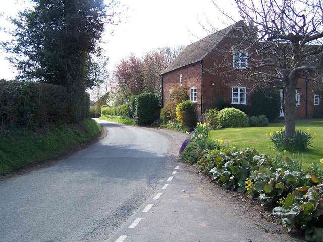
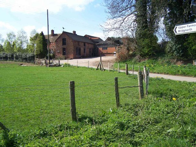
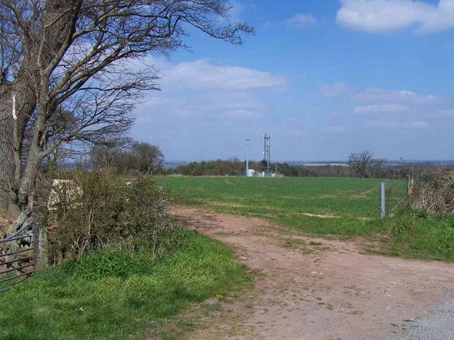
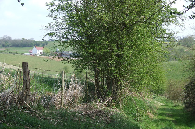
Chyknell Wood is a picturesque woodland located in the county of Shropshire, England. It covers an area of approximately 150 acres and is nestled within the rolling hills of the countryside.

The wood is primarily composed of broadleaf trees, with oak, ash, beech, and birch being the dominant species. These tall, majestic trees create a dense canopy that provides shade and shelter for a variety of wildlife. The forest floor is covered in a thick layer of leaf litter, which supports a diverse range of plant life including bluebells, primroses, and wild garlic.

Chyknell Wood is a haven for nature enthusiasts and bird watchers, as it is home to numerous species of birds such as woodpeckers, thrushes, and owls. The tranquil atmosphere and abundance of wildlife make it an ideal location for birdwatching and nature photography.

In addition to its natural beauty, Chyknell Wood also has historical significance. It is believed to have been a hunting ground for the nobility during the medieval period, and there are remnants of an old hunting lodge within the wood. These historical features add to the charm and character of the woodland.

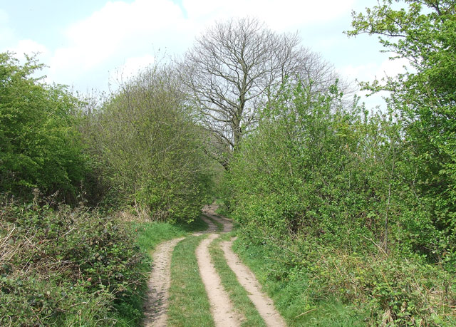
The wood is open to the public and offers several walking trails that meander through the trees, allowing visitors to explore the peaceful surroundings at their own pace. There are also picnic areas and benches scattered throughout the wood, providing opportunities for visitors to relax and appreciate the serene beauty of Chyknell Wood.

If you have any feedback on the listing, please let us know in the comments section below.

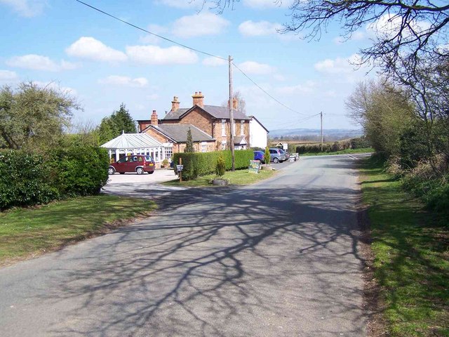
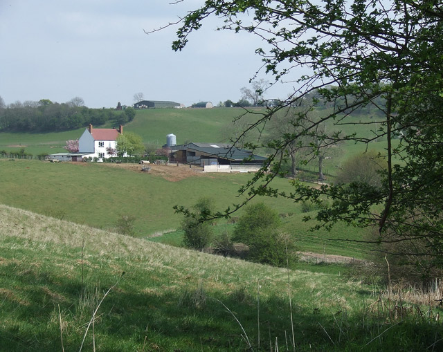
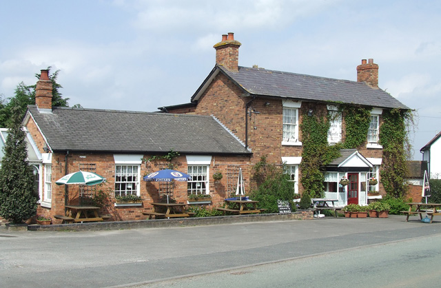
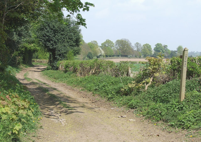
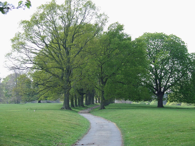
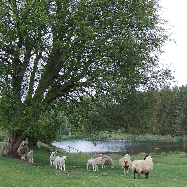
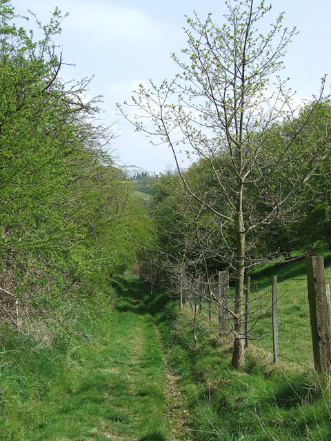
Chyknell Wood Images

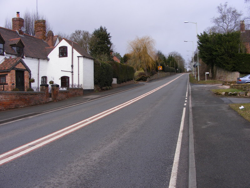
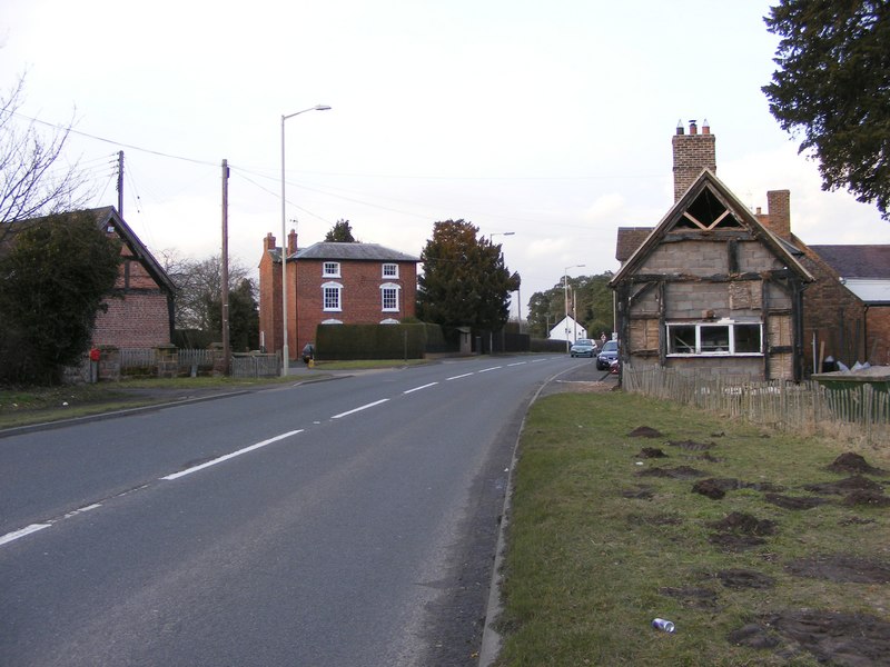
Images are sourced within 2km of 52.5402/-2.3272347 or Grid Reference SO7793. Thanks to Geograph Open Source API. All images are credited.

Claverley Pretty village with unspoilt centre.
Claverley
Pretty village with unspoilt centre.
Golf Course, Wyken
Golf Course, Wyken
Corner Cottage, Farmcote
Woundale House Farm
Woundale House Farm
Mast At Dallicott
Mast At Dallicott
The Lion O'Morfe, Farmcote
Shropshire pasture and Rowdale House Farm near Woundale The hilly nature of this area and its sandy subsoil mean the land is best kept under grass.
Shropshire pasture and Rowdale House Farm near Woundale
The hilly nature of this area and its sandy subsoil mean the land is best kept under grass.
Byway near Upper Farmcote in Shropshire Looking north, there is mixed woodland (Bridal Coppice and Morfe Covert) off to the left, and pasture off to the right of this tree lined byway.
Byway near Upper Farmcote in Shropshire
Looking north, there is mixed woodland (Bridal Coppice and Morfe Covert) off to the left, and pasture off to the right of this tree lined byway.
The Lion o' Morfe, Upper Farmcote, Shropshire An attractive real ale pub, but not open every weekday lunchtime.

Update 2022: Opening 12:00-23:00 daily.

January 2022: <a href="https://www.geograph.org.uk/photo/7083382">SO7791 : The Lion o' Morfe in Upper Farmcote, Shropshire</a>
The Lion o' Morfe, Upper Farmcote, Shropshire
An attractive real ale pub, but not open every weekday lunchtime. Update 2022: Opening 12:00-23:00 daily. January 2022: SO7791 : The Lion o' Morfe in Upper Farmcote, Shropshire
Byway near Woundale, Shropshire This track is classified as a "byway open to all traffic". It leads towards Claverley.
Byway near Woundale, Shropshire
This track is classified as a "byway open to all traffic". It leads towards Claverley.
Avenue of Trees, Chyknell Park, Shropshire One of three former approaches to Chyknell Hall.
Avenue of Trees, Chyknell Park, Shropshire
One of three former approaches to Chyknell Hall.
Sheep, trees and pool near Claverley in Shropshire The pool has been developed in recent years, not appearing on this map yet (as I write!). The OS 1:25000 maps (1999 and 2006) still have the public footpath printed going straight across the lake!!
Sheep, trees and pool near Claverley in Shropshire
The pool has been developed in recent years, not appearing on this map yet (as I write!). The OS 1:25000 maps (1999 and 2006) still have the public footpath printed going straight across the lake!!
Public Footpath, Barnsley, Shropshire A very attractive rural pathway between the fields.
Public Footpath, Barnsley, Shropshire
A very attractive rural pathway between the fields.
Public Footpath, Barnsley, Shropshire The path dips down here, towards Rowdale House Farm (left of hedge).
Public Footpath, Barnsley, Shropshire
The path dips down here, towards Rowdale House Farm (left of hedge).
The Lion o'  Morfe, Upper Farmcote, Shropshire Front view of this real ale pub (not open every weekday lunchtime). The Lion o' Morfe became a country pub in the 1850s. Morfe is from the Welsh name meaning marsh.

Update: 2022. Opening daily 12:00-23:00.
The Lion o' Morfe, Upper Farmcote, Shropshire
Front view of this real ale pub (not open every weekday lunchtime). The Lion o' Morfe became a country pub in the 1850s. Morfe is from the Welsh name meaning marsh. Update: 2022. Opening daily 12:00-23:00.
Mixed Farming north of Upper Farmcote in Shropshire Sheep grazing, and ploughed fields ready for crops on the other side of the lane. The residences to the left on the lane are called "Three Dwellings".
Mixed Farming north of Upper Farmcote in Shropshire
Sheep grazing, and ploughed fields ready for crops on the other side of the lane. The residences to the left on the lane are called "Three Dwellings".
Cattle and crop fields, Woundale, Shropshire The area is dedicated to mixed farming, and woodland management. This image is useful for examining with the 1:25000 OS map showing field boundaries and lanes. Three Dwellings are to the right of the clump of trees on the near lane.
Cattle and crop fields, Woundale, Shropshire
The area is dedicated to mixed farming, and woodland management. This image is useful for examining with the 1:25000 OS map showing field boundaries and lanes. Three Dwellings are to the right of the clump of trees on the near lane.
Cattle and Farmland near Woundale, Shropshire
Show me another place!

Chyknell Wood is located at Grid Ref: SO7793 (Lat: 52.5402, Lng: -2.3272347)

Unitary Authority: Shropshire

Police Authority: West Mercia

What 3 Words

///club.shelter.nametag. Near Bridgnorth, Shropshire

Related Wikis

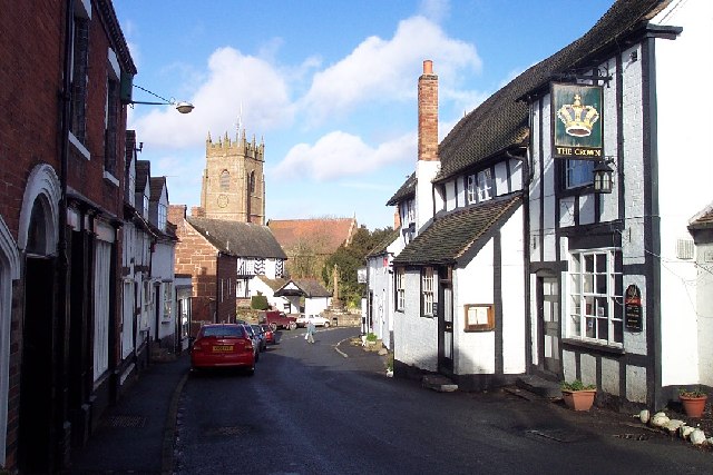
All Saints Church, Claverley

All Saints Church is in the village of Claverley, Shropshire, England. It is an active Anglican parish church in the deanery of Bridgnorth, the archdeaconry...

Claverley

Claverley is a village and civil parish in east Shropshire, England. The parish also includes the hamlets of Beobridge, Hopstone, Upper Aston, Ludstone...

Hilton, Shropshire

Hilton is a village in Shropshire, England. == See also == Listed buildings in Worfield == References == The geographic coordinates are from the Ordnance...

Wyken, Shropshire

Wyken is a hamlet in the English county of Shropshire. Wyken is located on the A454 road between Bridgnorth and Wolverhampton. The nearest village is Worfield...

Nearby Amenities

Located within 500m of 52.5402,-2.3272347
The data included in this document is from www.openstreetmap.org. The data is made available under ODbL.

Have you been to Chyknell Wood?

Leave your review of Chyknell Wood below (or comments, questions and feedback).