Woundale

Settlement in Shropshire

England

Woundale

Old Lodge Farm
Old Lodge Farm Credit: Geoff Pick

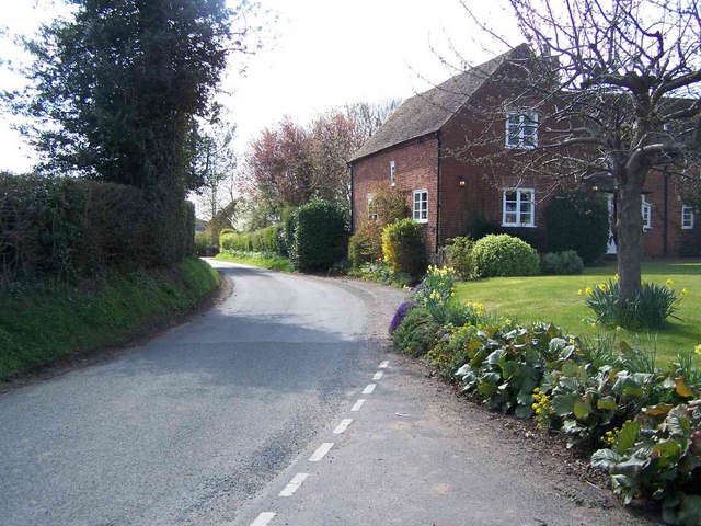
Woundale is a small village located in the county of Shropshire, England. Situated in the heart of the picturesque Shropshire Hills Area of Outstanding Natural Beauty, it offers residents and visitors alike a tranquil and idyllic setting.

The village is characterized by its charming cottages made of locally sourced stone, giving it a quintessentially English feel. The surrounding landscape is dominated by rolling hills, meandering rivers, and lush green fields, making it a haven for nature lovers and outdoor enthusiasts. The famous Long Mynd, a heather-covered plateau, is a popular spot for hikers and offers breathtaking panoramic views of the surrounding countryside.

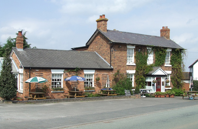
Although small in size, Woundale has a close-knit and friendly community. The village boasts a well-maintained village green, which serves as the hub for social gatherings and community events throughout the year. The local pub, The Woundale Arms, is a popular spot for locals and visitors to enjoy a pint of real ale and traditional British fare.

Despite its rural setting, Woundale is conveniently located within close proximity to larger towns such as Church Stretton and Shrewsbury. This provides residents with easy access to a range of amenities, including shops, schools, and healthcare facilities.

In summary, Woundale offers a peaceful and picturesque setting for those seeking a slower pace of life. Surrounded by natural beauty and with a strong sense of community, it is a desirable place to live or visit for those looking to escape the hustle and bustle of city life.

If you have any feedback on the listing, please let us know in the comments section below.
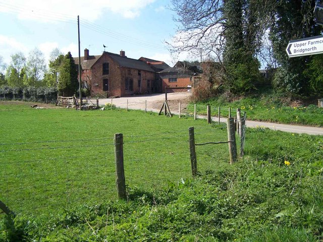
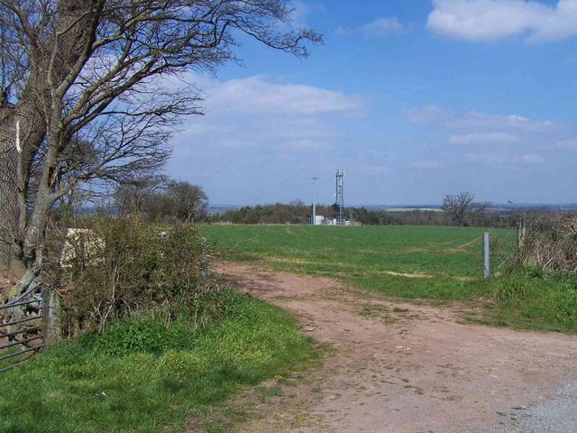
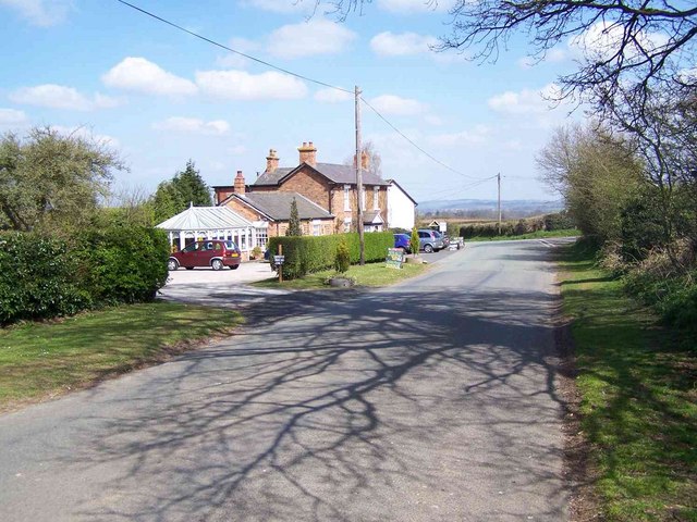
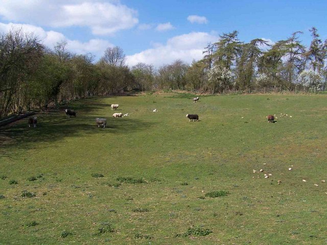
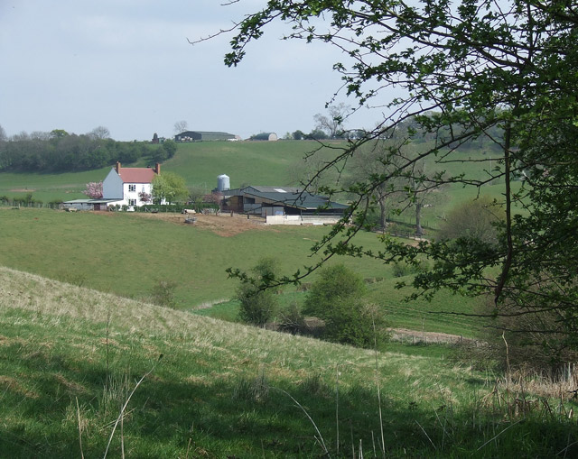
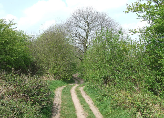
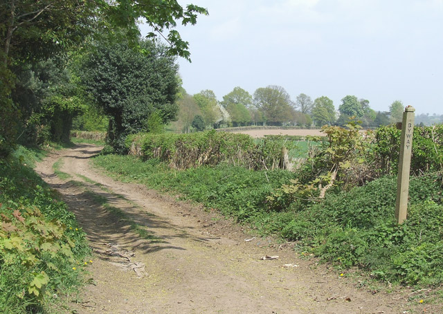
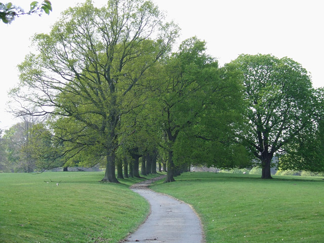
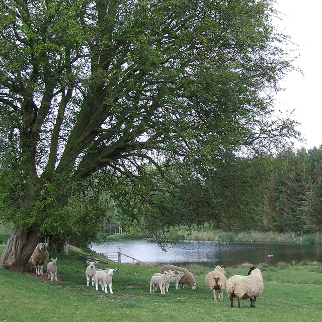
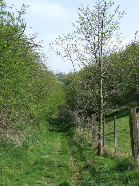
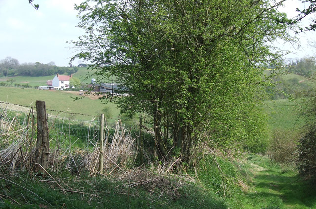
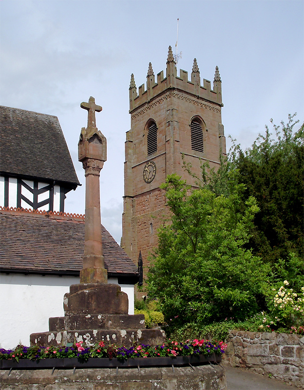
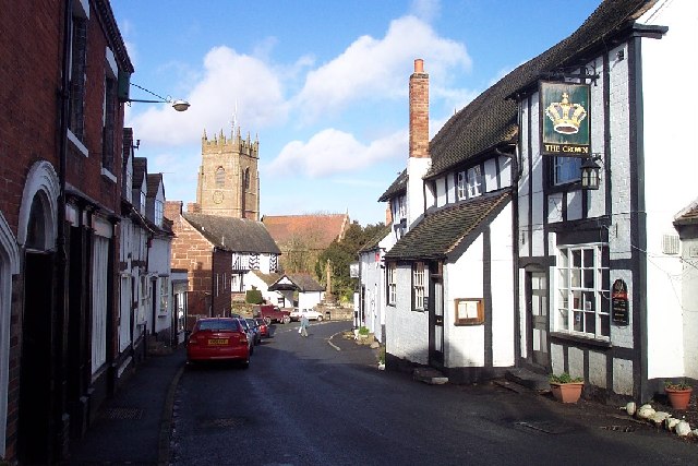
Woundale Images

Images are sourced within 2km of 52.535548/-2.335223 or Grid Reference SO7793. Thanks to Geograph Open Source API. All images are credited.

Old Lodge Farm
Old Lodge Farm
Golf Course, Wyken
Golf Course, Wyken
Corner Cottage, Farmcote
Cottages, Roughton
Cottages, Roughton
Woundale House Farm
Woundale House Farm
Mast At Dallicott
Mast At Dallicott
Barnsley Lane Landfill
The Lion O'Morfe, Farmcote
Pasture Near Upper Farmcote
Crop fields near Barnsley in Shropshire The gently undulating nature of much of the land is ideal for crops of many sorts.
Crop fields near Barnsley in Shropshire
The gently undulating nature of much of the land is ideal for crops of many sorts.
Shropshire pasture and Rowdale House Farm near Woundale The hilly nature of this area and its sandy subsoil mean the land is best kept under grass.
Shropshire pasture and Rowdale House Farm near Woundale
The hilly nature of this area and its sandy subsoil mean the land is best kept under grass.
Byway near Upper Farmcote in Shropshire Looking north, there is mixed woodland (Bridal Coppice and Morfe Covert) off to the left, and pasture off to the right of this tree lined byway.
Byway near Upper Farmcote in Shropshire
Looking north, there is mixed woodland (Bridal Coppice and Morfe Covert) off to the left, and pasture off to the right of this tree lined byway.
The Lion o' Morfe, Upper Farmcote, Shropshire An attractive real ale pub, but not open every weekday lunchtime.

Update 2022: Opening 12:00-23:00 daily.

January 2022: <a href="https://www.geograph.org.uk/photo/7083382">SO7791 : The Lion o' Morfe in Upper Farmcote, Shropshire</a>
The Lion o' Morfe, Upper Farmcote, Shropshire
An attractive real ale pub, but not open every weekday lunchtime. Update 2022: Opening 12:00-23:00 daily. January 2022: SO7791 : The Lion o' Morfe in Upper Farmcote, Shropshire
Byway near Woundale, Shropshire This track is classified as a "byway open to all traffic". It leads towards Claverley.
Byway near Woundale, Shropshire
This track is classified as a "byway open to all traffic". It leads towards Claverley.
Avenue of Trees, Chyknell Park, Shropshire One of three former approaches to Chyknell Hall.
Avenue of Trees, Chyknell Park, Shropshire
One of three former approaches to Chyknell Hall.
Sheep, trees and pool near Claverley in Shropshire The pool has been developed in recent years, not appearing on this map yet (as I write!). The OS 1:25000 maps (1999 and 2006) still have the public footpath printed going straight across the lake!!
Sheep, trees and pool near Claverley in Shropshire
The pool has been developed in recent years, not appearing on this map yet (as I write!). The OS 1:25000 maps (1999 and 2006) still have the public footpath printed going straight across the lake!!
Public Footpath, Barnsley, Shropshire A very attractive rural pathway between the fields.
Public Footpath, Barnsley, Shropshire
A very attractive rural pathway between the fields.
Public Footpath, Barnsley, Shropshire The path dips down here, towards Rowdale House Farm (left of hedge).
Public Footpath, Barnsley, Shropshire
The path dips down here, towards Rowdale House Farm (left of hedge).
Show me another place!

Woundale is located at Grid Ref: SO7793 (Lat: 52.535548, Lng: -2.335223)

Unitary Authority: Shropshire

Police Authority: West Mercia

What 3 Words

///summer.ghost.elaborate. Near Bridgnorth, Shropshire

Related Wikis

Morfe Forest

Morfe Forest was a medieval royal forest in east Shropshire. The forest was perambulated in 1300 and the bounds were recorded. The forest was bounded...

Barnsley, Shropshire

Barnsley is a village in Shropshire, England. == External links == Media related to Barnsley, Shropshire at Wikimedia Commons

All Saints Church, Claverley

All Saints Church is in the village of Claverley, Shropshire, England. It is an active Anglican parish church in the deanery of Bridgnorth, the archdeaconry...

Claverley

Claverley is a village and civil parish in east Shropshire, England. The parish also includes the hamlets of Beobridge, Hopstone, Upper Aston, Ludstone...

Have you been to Woundale?

Leave your review of Woundale below (or comments, questions and feedback).