The Belt

Wood, Forest in Shropshire

England

The Belt

Claverley Pretty village with unspoilt centre.
Claverley Credit: Geoff Pick

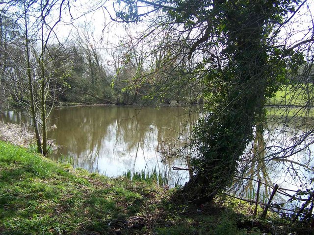
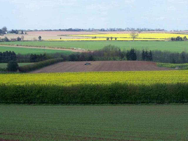
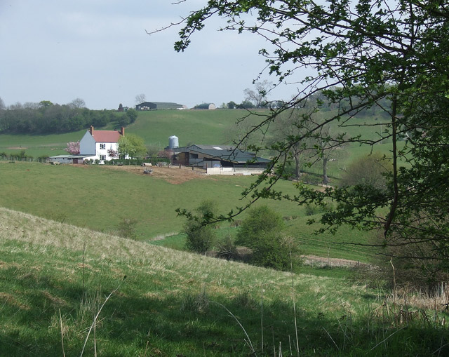
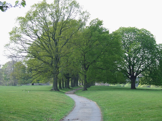
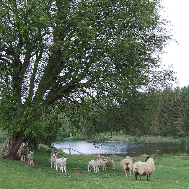
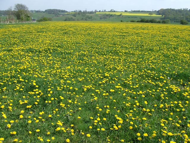
The Belt in Shropshire, England, is a picturesque woodland area known for its natural beauty and diverse wildlife. Covering an area of approximately 100 acres, this forested region is characterized by its dense canopy of trees and tranquil atmosphere, making it a popular destination for nature enthusiasts and outdoor enthusiasts alike.

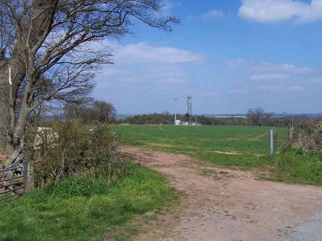
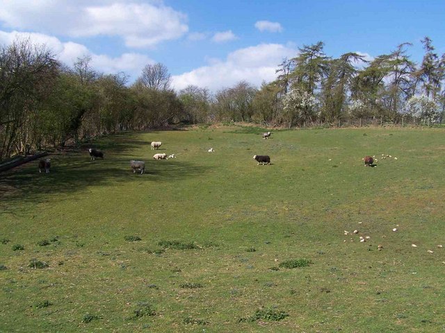
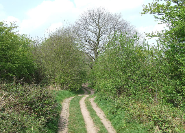
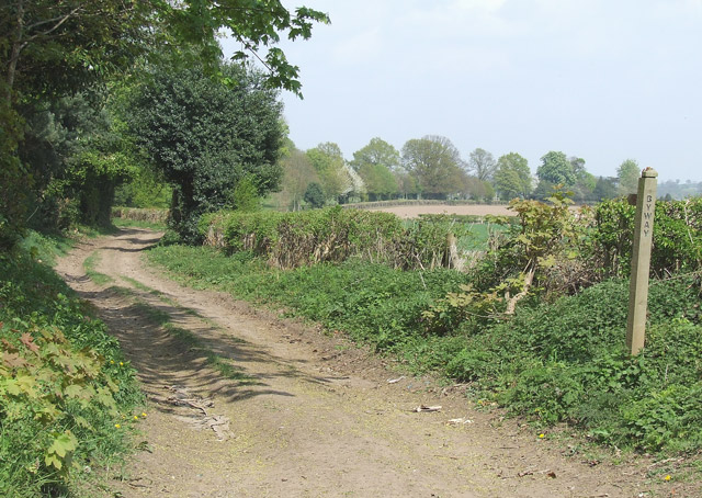
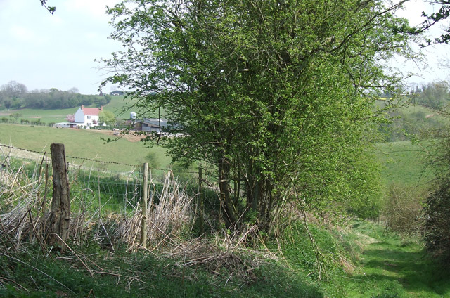
Situated near the village of Shifnal, The Belt is easily accessible and offers a variety of walking trails and pathways, allowing visitors to explore its stunning surroundings. The woodland is primarily made up of native tree species such as oak, birch, and beech, creating a rich and vibrant ecosystem. These trees provide habitat for an array of wildlife, including various bird species, deer, and small mammals.

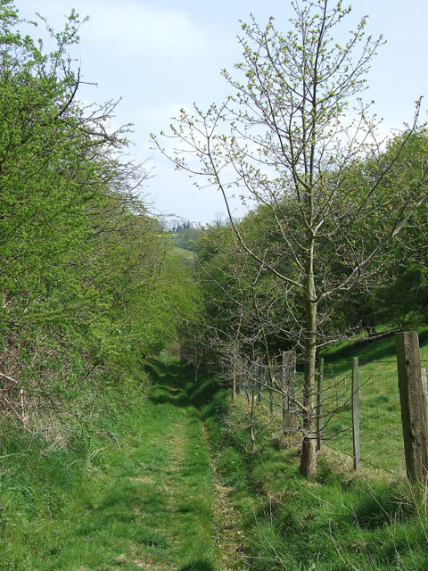
One of the highlights of The Belt is its well-maintained network of footpaths, which wind through the forest and offer stunning views of the surrounding countryside. These paths cater to all levels of walkers, from leisurely strolls to more challenging hikes, ensuring there is something for everyone to enjoy.

In addition to its natural beauty, The Belt also has a rich history. It was once part of a larger estate and has been preserved and protected for its ecological significance. Visitors can learn about the woodland's past through interpretive signs and information boards located throughout the area.

Whether you are looking for a peaceful retreat in nature, a chance to spot wildlife, or an opportunity to learn about Shropshire's history, The Belt offers an enchanting experience for all who visit.

If you have any feedback on the listing, please let us know in the comments section below.

The Belt Images

Images are sourced within 2km of 52.534467/-2.3262927 or Grid Reference SO7793. Thanks to Geograph Open Source API. All images are credited.

Claverley Pretty village with unspoilt centre.
Claverley
Pretty village with unspoilt centre.
Corner Cottage, Farmcote
Fishing Pond, Beobridge
Woundale House Farm
Woundale House Farm
Fields Near Farmcote
Mast At Dallicott
Mast At Dallicott
The Lion O'Morfe, Farmcote
Pasture Near Upper Farmcote
Shropshire pasture and Rowdale House Farm near Woundale The hilly nature of this area and its sandy subsoil mean the land is best kept under grass.
Shropshire pasture and Rowdale House Farm near Woundale
The hilly nature of this area and its sandy subsoil mean the land is best kept under grass.
Byway near Upper Farmcote in Shropshire Looking north, there is mixed woodland (Bridal Coppice and Morfe Covert) off to the left, and pasture off to the right of this tree lined byway.
Byway near Upper Farmcote in Shropshire
Looking north, there is mixed woodland (Bridal Coppice and Morfe Covert) off to the left, and pasture off to the right of this tree lined byway.
The Lion o' Morfe, Upper Farmcote, Shropshire An attractive real ale pub, but not open every weekday lunchtime.

Update 2022: Opening 12:00-23:00 daily.

January 2022: <a href="https://www.geograph.org.uk/photo/7083382">SO7791 : The Lion o' Morfe in Upper Farmcote, Shropshire</a>
The Lion o' Morfe, Upper Farmcote, Shropshire
An attractive real ale pub, but not open every weekday lunchtime. Update 2022: Opening 12:00-23:00 daily. January 2022: SO7791 : The Lion o' Morfe in Upper Farmcote, Shropshire
Byway near Woundale, Shropshire This track is classified as a "byway open to all traffic". It leads towards Claverley.
Byway near Woundale, Shropshire
This track is classified as a "byway open to all traffic". It leads towards Claverley.
Avenue of Trees, Chyknell Park, Shropshire One of three former approaches to Chyknell Hall.
Avenue of Trees, Chyknell Park, Shropshire
One of three former approaches to Chyknell Hall.
Sheep, trees and pool near Claverley in Shropshire The pool has been developed in recent years, not appearing on this map yet (as I write!). The OS 1:25000 maps (1999 and 2006) still have the public footpath printed going straight across the lake!!
Sheep, trees and pool near Claverley in Shropshire
The pool has been developed in recent years, not appearing on this map yet (as I write!). The OS 1:25000 maps (1999 and 2006) still have the public footpath printed going straight across the lake!!
Public Footpath, Barnsley, Shropshire A very attractive rural pathway between the fields.
Public Footpath, Barnsley, Shropshire
A very attractive rural pathway between the fields.
Public Footpath, Barnsley, Shropshire The path dips down here, towards Rowdale House Farm (left of hedge).
Public Footpath, Barnsley, Shropshire
The path dips down here, towards Rowdale House Farm (left of hedge).
Yet ANOTHER Field of Yellow! Barnsley, Shropshire ........but this time a whole field of dandelions for a change! The field used to be a football ground. The former changing rooms in the north-western corner are marked on this 1:50000 map, but not on the 1:25000 maps of 1999 or 2006.
Yet ANOTHER Field of Yellow! Barnsley, Shropshire
........but this time a whole field of dandelions for a change! The field used to be a football ground. The former changing rooms in the north-western corner are marked on this 1:50000 map, but not on the 1:25000 maps of 1999 or 2006.
The Lion o'  Morfe, Upper Farmcote, Shropshire Front view of this real ale pub (not open every weekday lunchtime). The Lion o' Morfe became a country pub in the 1850s. Morfe is from the Welsh name meaning marsh.

Update: 2022. Opening daily 12:00-23:00.
The Lion o' Morfe, Upper Farmcote, Shropshire
Front view of this real ale pub (not open every weekday lunchtime). The Lion o' Morfe became a country pub in the 1850s. Morfe is from the Welsh name meaning marsh. Update: 2022. Opening daily 12:00-23:00.
Show me another place!

The Belt is located at Grid Ref: SO7793 (Lat: 52.534467, Lng: -2.3262927)

Unitary Authority: Shropshire

Police Authority: West Mercia

What 3 Words

///castle.thatched.slurs. Near Bridgnorth, Shropshire

Related Wikis

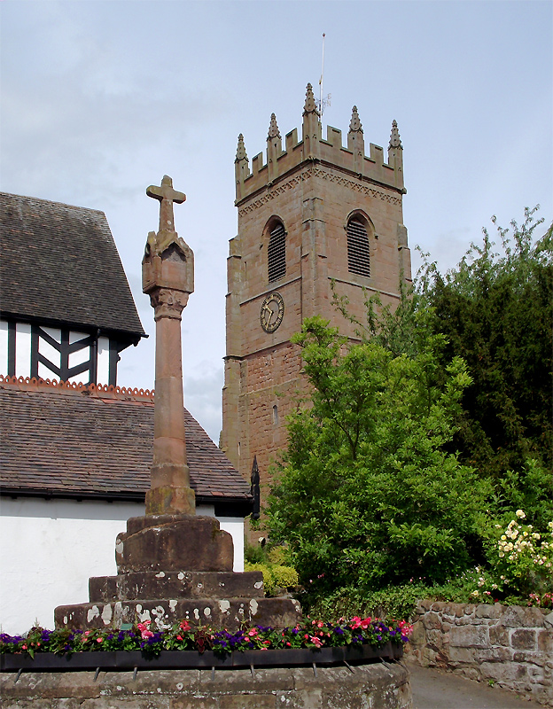
All Saints Church, Claverley

All Saints Church is in the village of Claverley, Shropshire, England. It is an active Anglican parish church in the deanery of Bridgnorth, the archdeaconry...
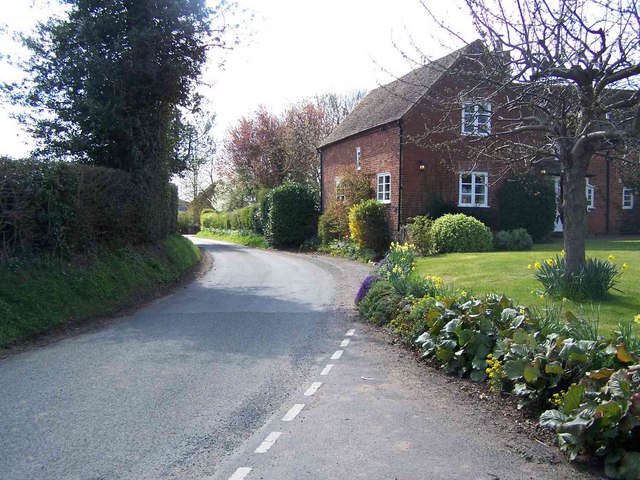
Claverley

Claverley is a village and civil parish in east Shropshire, England. The parish also includes the hamlets of Beobridge, Hopstone, Upper Aston, Ludstone...
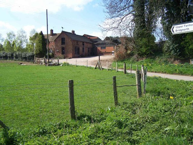
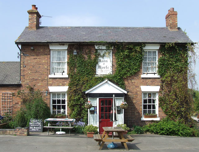
Morfe Forest

Morfe Forest was a medieval royal forest in east Shropshire. The forest was perambulated in 1300 and the bounds were recorded. The forest was bounded...
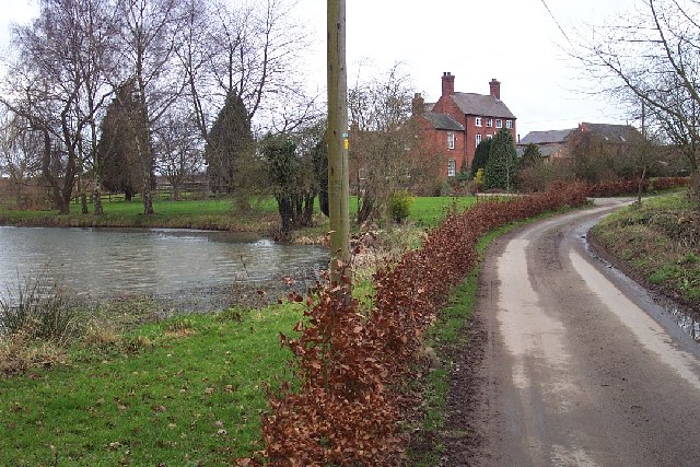
Beobridge

Beobridge is a small, scattered hamlet in Shropshire, England. It is in the civil parish of Claverley. Its name probably comes from Old English beo, "bee...

Have you been to The Belt?

Leave your review of The Belt below (or comments, questions and feedback).