Whitmore Coppice

Wood, Forest in Dorset

England

Whitmore Coppice

Trigpoint at Gardland's Farm
Trigpoint at Gardland's Farm Credit: Becky Williamson

Whitmore Coppice, located in the county of Dorset, England, is a picturesque woodland area renowned for its natural beauty and diverse ecosystem. Covering an area of approximately 100 acres, it is a popular destination for nature enthusiasts, hikers, and wildlife photographers.

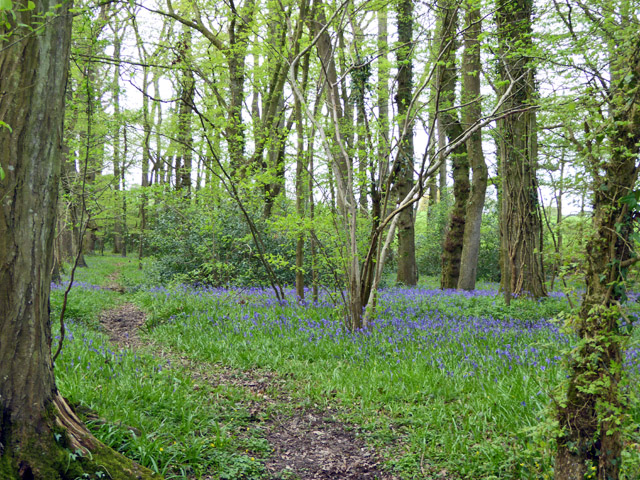
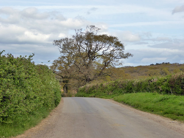
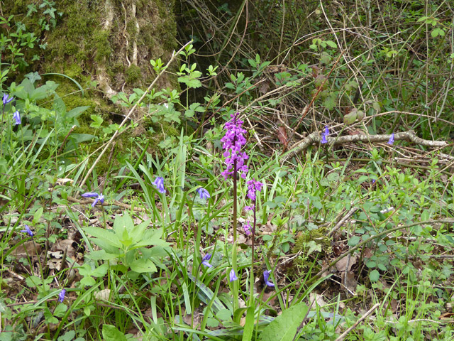
The coppice, which refers to a woodland area managed for the production of small timber, is primarily composed of a mixture of broadleaf trees such as oak, beech, and birch. These trees provide a dense canopy, creating a serene and tranquil environment. The forest floor is carpeted with an array of wildflowers, including bluebells, primroses, and wood anemones, adding vibrant colors to the landscape during springtime.

The woodland is home to a rich variety of wildlife species. Birdwatchers can spot numerous avian inhabitants, including woodpeckers, jays, and tawny owls. Squirrels scurrying through the trees and rabbits hopping in the undergrowth are a common sight. The occasional deer can be spotted grazing in the more secluded areas, adding to the enchanting atmosphere of the coppice.

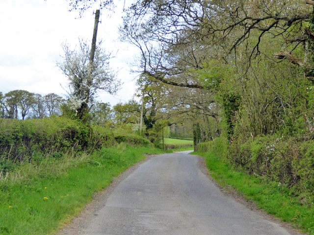
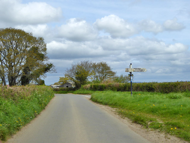
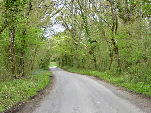
Whitmore Coppice is intersected by several footpaths and trails, making it easily accessible for visitors. These paths offer opportunities for leisurely walks and hikes, allowing visitors to immerse themselves in the natural surroundings and enjoy the sights and sounds of the forest. The coppice also provides a peaceful setting for picnics and relaxation, with designated areas equipped with benches and tables.

Overall, Whitmore Coppice in Dorset is a captivating woodland, offering a haven for nature lovers and a chance to experience the serenity of a truly enchanting forest environment.

If you have any feedback on the listing, please let us know in the comments section below.

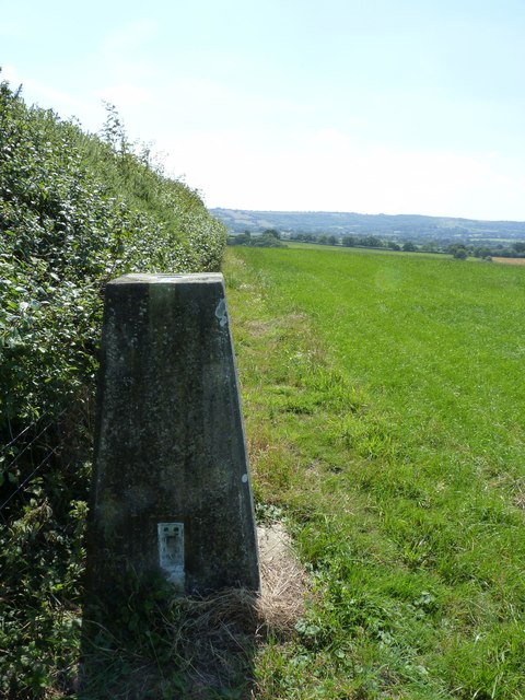
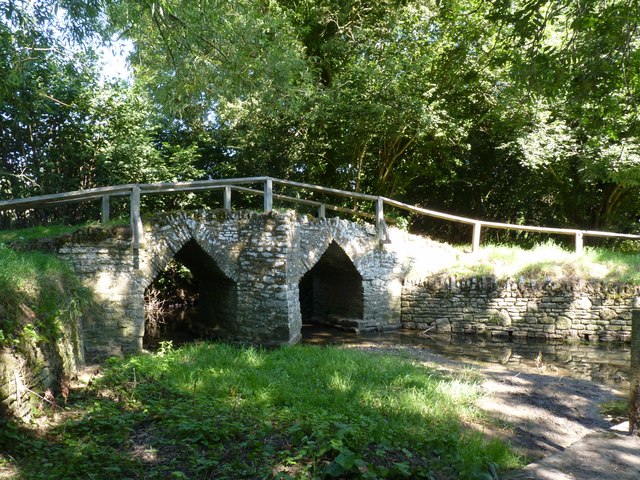
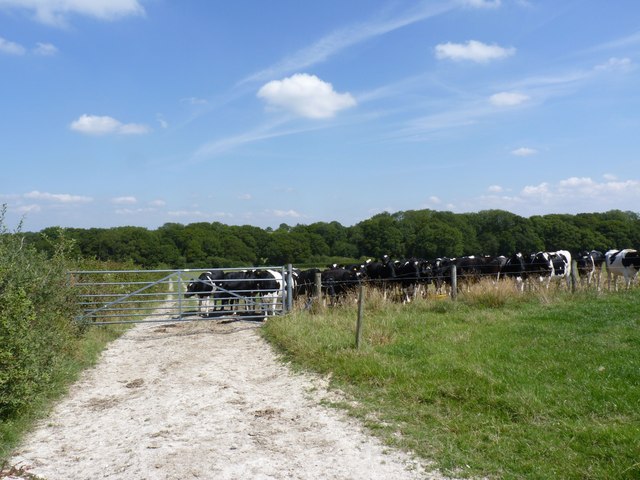
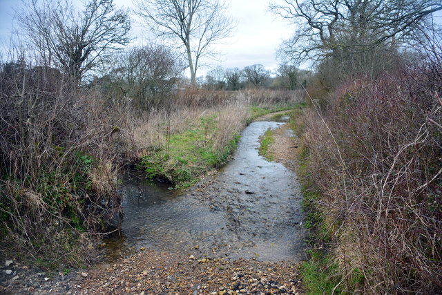
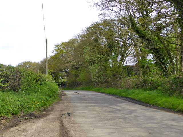
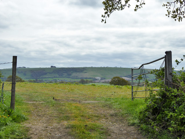
Whitmore Coppice Images

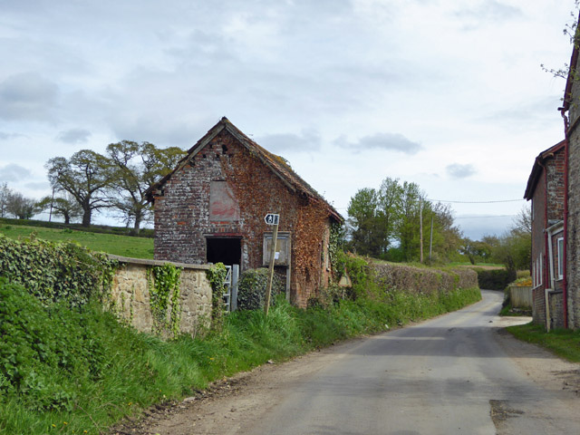
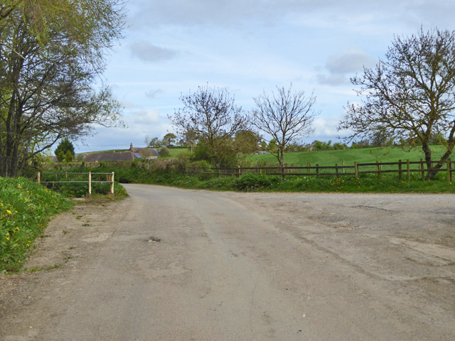
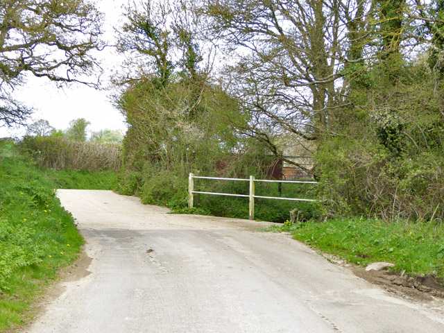
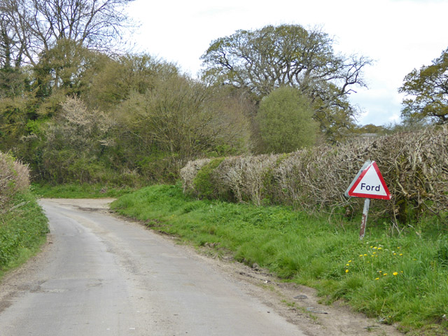
Images are sourced within 2km of 50.888926/-2.3146247 or Grid Reference ST7709. Thanks to Geograph Open Source API. All images are credited.

Trigpoint at Gardland's Farm
Bridge over River Divelish, Fifehead Newton
Knackers Hole The cows that put us off going any further!
Knackers Hole
The cows that put us off going any further!
Ibberton Ford This ford at Marsh Farm, Ibberton runs along the byway for about 50 metres.
Ibberton Ford
This ford at Marsh Farm, Ibberton runs along the byway for about 50 metres.
Lane north from Woolland Heading towards Fifehead St. Quintin.
Lane north from Woolland
Heading towards Fifehead St. Quintin.
Bluebells, Fudge Copse
Footbridge over River Divelish Across the road from Lower Fifehead Farm.
Footbridge over River Divelish
Across the road from Lower Fifehead Farm.
Old pump, Lower Fifehead Farm
Road junction, Fifehead Common Roads converge towards Sturminster Newton, but the signpost arm for that direction has broken off, and for behind the camera. The remains of one arm suggest they are made of plywood.
Road junction, Fifehead Common
Roads converge towards Sturminster Newton, but the signpost arm for that direction has broken off, and for behind the camera. The remains of one arm suggest they are made of plywood.
Road towards Fifehead Common
Gateway view Looking south-east.
Gateway view
Looking south-east.
Crate Hill Heading north.
Crate Hill
Heading north.
Small disused building, Lower Fifehead Farm Purpose unknown. A notice board outside looks like a parish outpost board for official notices, but that looks disused as well.
Small disused building, Lower Fifehead Farm
Purpose unknown. A notice board outside looks like a parish outpost board for official notices, but that looks disused as well.
Crossing of River Divelish, Fifehead St Quintin The river passes under the road via a long diagonal culvert. It looks like it may flow over the road in really wet times, but no ford is mapped here, and there is no footbridge. Older maps do show a ford and footbridge.
Crossing of River Divelish, Fifehead St Quintin
The river passes under the road via a long diagonal culvert. It looks like it may flow over the road in really wet times, but no ford is mapped here, and there is no footbridge. Older maps do show a ford and footbridge.
'Ford' south of Fifehead St. Quintin No longer mapped as such, although an overgrown footbridge is off to the left and the road still has a 'Ford' sign. It probably does flood over in really wet times.
'Ford' south of Fifehead St. Quintin
No longer mapped as such, although an overgrown footbridge is off to the left and the road still has a 'Ford' sign. It probably does flood over in really wet times.
Ford ahead on lane to Fifehead St Quintin It turned out to be a disappointment - the stream went under the road and looked as if it had gone that way for a considerable time.
Ford ahead on lane to Fifehead St Quintin
It turned out to be a disappointment - the stream went under the road and looked as if it had gone that way for a considerable time.
Laneside Early Purple Orchids Beating the bluebells into good flower, as is normally the case.
Laneside Early Purple Orchids
Beating the bluebells into good flower, as is normally the case.
Lane towards Fifehead St Quintin A stretch with interesting woodland flora.
Lane towards Fifehead St Quintin
A stretch with interesting woodland flora.
Show me another place!

Whitmore Coppice is located at Grid Ref: ST7709 (Lat: 50.888926, Lng: -2.3146247)

Unitary Authority: Dorset

Police Authority: Dorset

What 3 Words

///query.huddle.wades. Near Sturminster Newton, Dorset

Related Wikis

Belchalwell

Belchalwell is a small village and former civil parish, now in the parish of Okeford Fitzpaine in the Blackmore Vale, in the Dorset district, in the ceremonial...

St Aldhelm's Church, Belchalwell

St Aldhelm's Church is a Grade II* listed Anglican church in the village of Belchalwell, Dorset. It is in the ecclesiastical parish of Belchalwell, which...

Fifehead Neville

Fifehead Neville is a village and civil parish in the county of Dorset in southern England, situated in the Blackmore Vale about two miles (three kilometres...

Belchalwell Street

Belchalwell Street is a village in Dorset, England, at the foot of Bell Hill, generally included in the village of Belchalwell. == External links == Belchalwell

Have you been to Whitmore Coppice?

Leave your review of Whitmore Coppice below (or comments, questions and feedback).