Fudge Copse

Wood, Forest in Dorset

England

Fudge Copse

Ibberton Ford This ford at Marsh Farm, Ibberton runs along the byway for about 50 metres.
Ibberton Ford Credit: John Walton

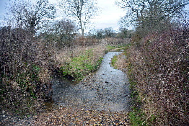
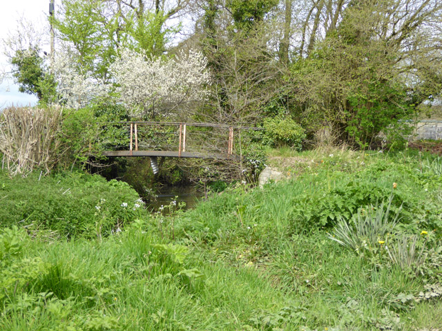
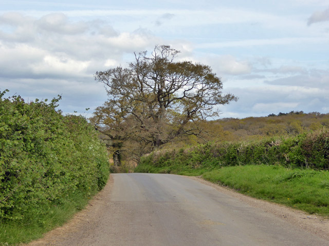
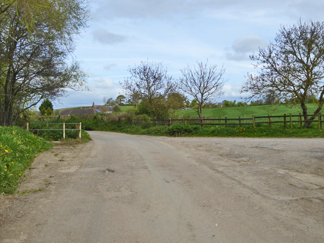
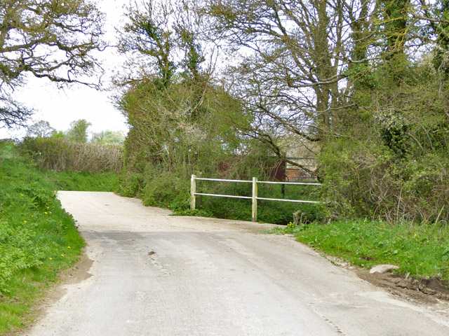
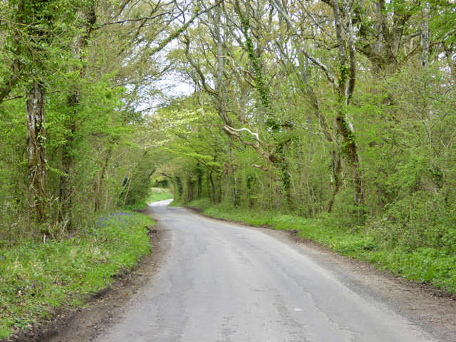
Fudge Copse is a charming wood located in the county of Dorset, England. Nestled within the lush countryside, this forested area is a haven of natural beauty and tranquility. Spanning approximately 20 acres, Fudge Copse is home to a diverse range of flora and fauna, making it a popular destination for nature enthusiasts and outdoor lovers.

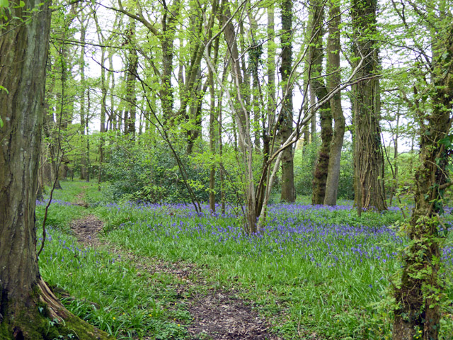
The copse is characterized by its dense woodland, with towering trees providing a canopy that filters the sunlight, creating a serene and peaceful atmosphere. Among the dominant tree species found in Fudge Copse are oak, beech, and ash, which add to the enchanting allure of the woodland.

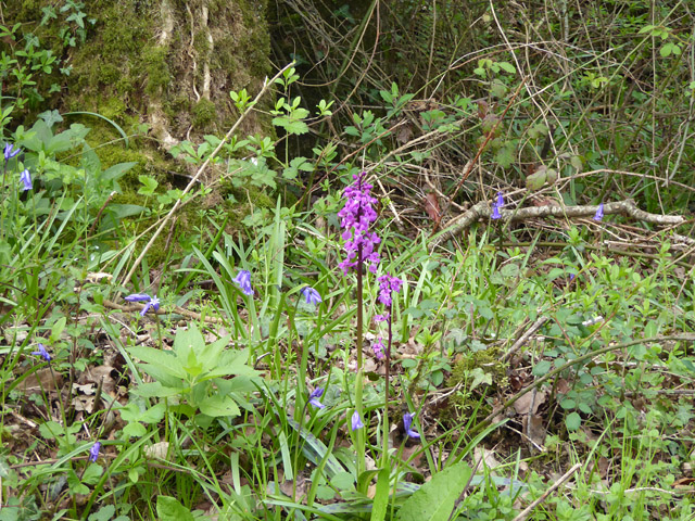
The forest floor is adorned with a carpet of wildflowers, including bluebells and primroses, which bloom in vibrant colors during the spring season. This creates a picturesque and magical landscape, attracting photographers and nature lovers alike.

Various wildlife can be spotted within Fudge Copse, including squirrels, rabbits, and a variety of bird species. The copse provides a perfect habitat for these creatures, offering ample food sources and shelter.

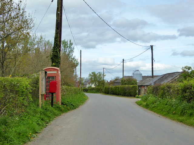
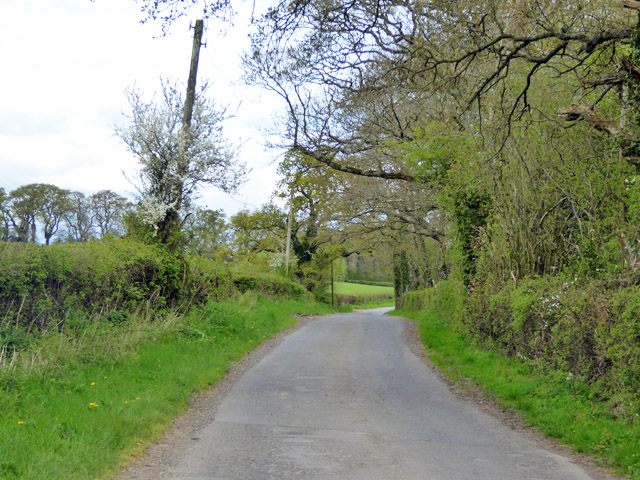
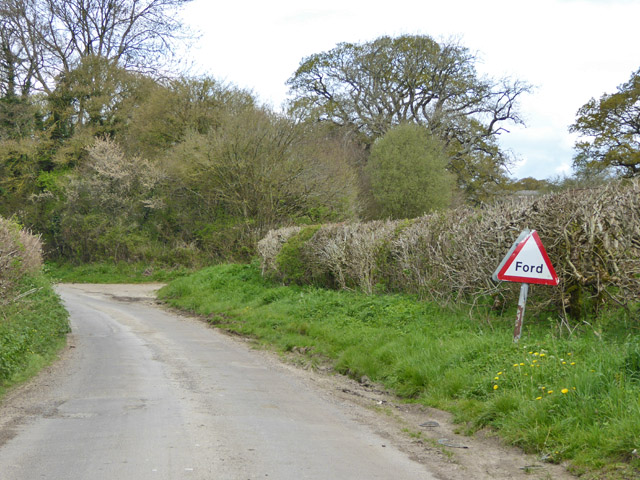
In addition to its natural beauty, Fudge Copse also offers a network of walking trails, allowing visitors to explore and immerse themselves in the surroundings. The trails wind through the wooded areas, providing opportunities to spot different plant and animal species, as well as enjoy the peaceful ambiance.

Overall, Fudge Copse is a true gem in the Dorset countryside, offering a tranquil retreat and an opportunity to connect with nature. Whether it's a leisurely stroll or a wildlife adventure, this wood provides an unforgettable experience for all who visit.

If you have any feedback on the listing, please let us know in the comments section below.
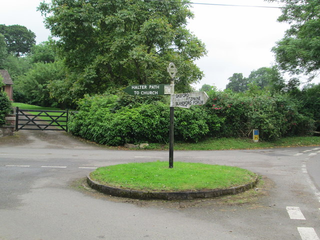
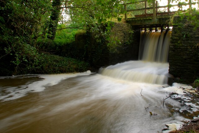
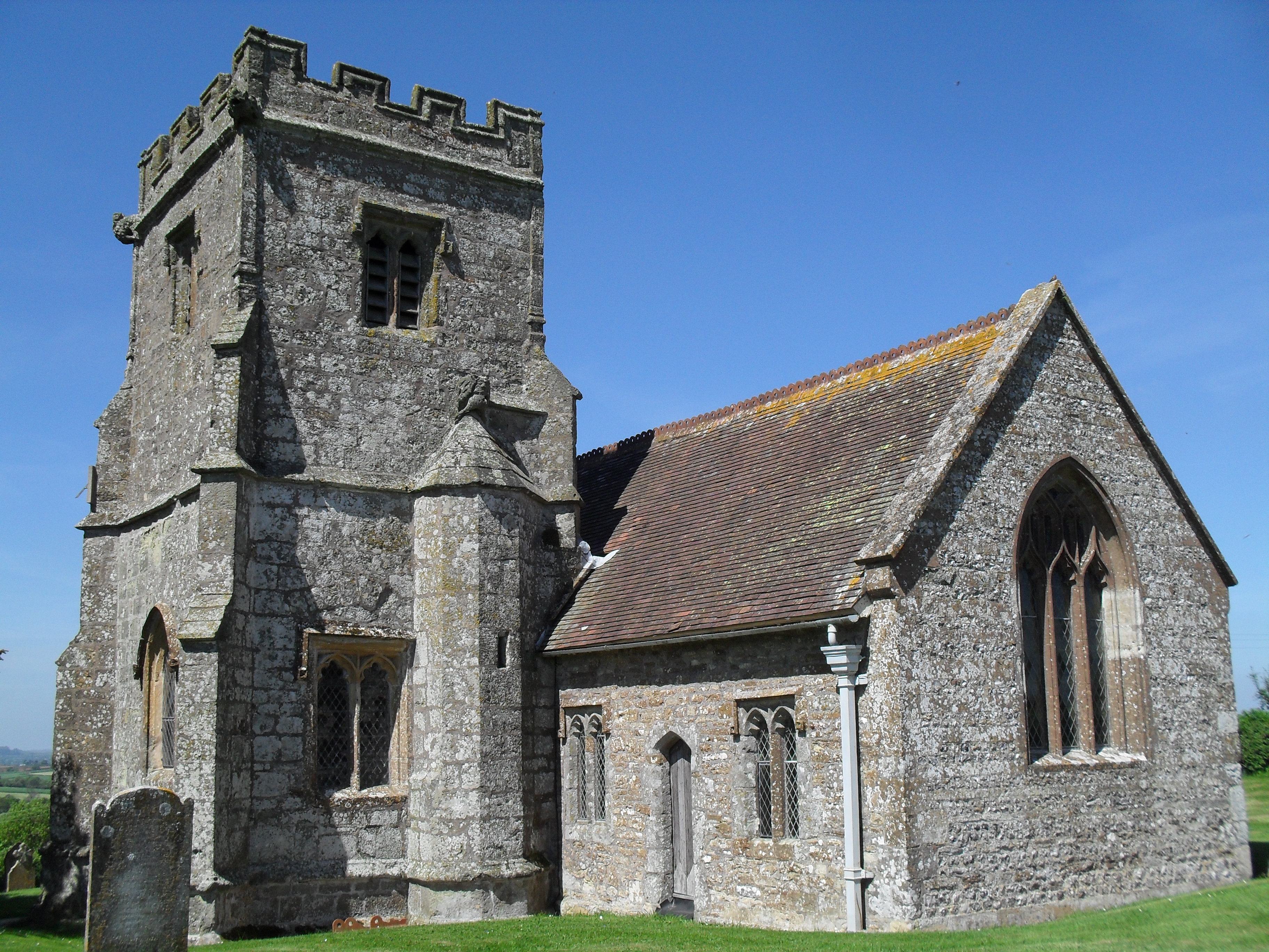
Fudge Copse Images

Images are sourced within 2km of 50.880995/-2.3241518 or Grid Reference ST7709. Thanks to Geograph Open Source API. All images are credited.

Ibberton Ford This ford at Marsh Farm, Ibberton runs along the byway for about 50 metres.
Ibberton Ford
This ford at Marsh Farm, Ibberton runs along the byway for about 50 metres.
Notice board, postbox, telephone box, Woolland Across the road from Skinners Farm.
Notice board, postbox, telephone box, Woolland
Across the road from Skinners Farm.
Lane north from Woolland Heading towards Fifehead St. Quintin.
Lane north from Woolland
Heading towards Fifehead St. Quintin.
Bluebells, Fudge Copse
Footbridge over River Divelish Across the road from Lower Fifehead Farm.
Footbridge over River Divelish
Across the road from Lower Fifehead Farm.
Old pump, Lower Fifehead Farm
Crate Hill Heading north.
Crate Hill
Heading north.
Small disused building, Lower Fifehead Farm Purpose unknown. A notice board outside looks like a parish outpost board for official notices, but that looks disused as well.
Small disused building, Lower Fifehead Farm
Purpose unknown. A notice board outside looks like a parish outpost board for official notices, but that looks disused as well.
Crossing of River Divelish, Fifehead St Quintin The river passes under the road via a long diagonal culvert. It looks like it may flow over the road in really wet times, but no ford is mapped here, and there is no footbridge. Older maps do show a ford and footbridge.
Crossing of River Divelish, Fifehead St Quintin
The river passes under the road via a long diagonal culvert. It looks like it may flow over the road in really wet times, but no ford is mapped here, and there is no footbridge. Older maps do show a ford and footbridge.
'Ford' south of Fifehead St. Quintin No longer mapped as such, although an overgrown footbridge is off to the left and the road still has a 'Ford' sign. It probably does flood over in really wet times.
'Ford' south of Fifehead St. Quintin
No longer mapped as such, although an overgrown footbridge is off to the left and the road still has a 'Ford' sign. It probably does flood over in really wet times.
Ford ahead on lane to Fifehead St Quintin It turned out to be a disappointment - the stream went under the road and looked as if it had gone that way for a considerable time.
Ford ahead on lane to Fifehead St Quintin
It turned out to be a disappointment - the stream went under the road and looked as if it had gone that way for a considerable time.
Laneside Early Purple Orchids Beating the bluebells into good flower, as is normally the case.
Laneside Early Purple Orchids
Beating the bluebells into good flower, as is normally the case.
Lane towards Fifehead St Quintin A stretch with interesting woodland flora.
Lane towards Fifehead St Quintin
A stretch with interesting woodland flora.
Old Direction Sign - Signpost by Leigh Cross, Ibberton Parish Annulus and bar finial - 3 arms; Dorset halo with NGR by the UC road, in parish of Ibberton (North Dorset District), Leigh, at crossroads of Marsh Lane, Leigh Lane, Stibles Lane and UC road to Ibberton, on small grass island.

Surveyed

Milestone Society National ID: DO_ST7808
Old Direction Sign - Signpost by Leigh Cross, Ibberton Parish
Annulus and bar finial - 3 arms; Dorset halo with NGR by the UC road, in parish of Ibberton (North Dorset District), Leigh, at crossroads of Marsh Lane, Leigh Lane, Stibles Lane and UC road to Ibberton, on small grass island. Surveyed Milestone Society National ID: DO_ST7808
Old Direction Sign - Signpost by Mafeking Lane, Woolland, Dorset Annulus and bar finial - 3 arms; Dorset halo with NGR by the UC road, in parish of Woolland (North Dorset District), Woolland, T-junction with UC road to Ibberton, on embankment in hedgerow.

Surveyed

Milestone Society National ID: DO_ST7707
Old Direction Sign - Signpost by Mafeking Lane, Woolland, Dorset
Annulus and bar finial - 3 arms; Dorset halo with NGR by the UC road, in parish of Woolland (North Dorset District), Woolland, T-junction with UC road to Ibberton, on embankment in hedgerow. Surveyed Milestone Society National ID: DO_ST7707
Old Direction Sign - Signpost in Ibberton village Annulus and bar finial - 2 arms; Dorset halo with NGR by the UC road, in parish of Ibberton (North Dorset District), Ibberton, centre of village on green triangle.

Surveyed

Milestone Society National ID: DO_ST7807
Old Direction Sign - Signpost in Ibberton village
Annulus and bar finial - 2 arms; Dorset halo with NGR by the UC road, in parish of Ibberton (North Dorset District), Ibberton, centre of village on green triangle. Surveyed Milestone Society National ID: DO_ST7807
Signpost at Ibberton A signpost, showing the way to the church (a narrow lane with a steep gradient).
Signpost at Ibberton
A signpost, showing the way to the church (a narrow lane with a steep gradient).
Sluice gates for mill pond Mill no longer in use
Sluice gates for mill pond
Mill no longer in use
Show me another place!

Fudge Copse is located at Grid Ref: ST7709 (Lat: 50.880995, Lng: -2.3241518)

Unitary Authority: Dorset

Police Authority: Dorset

What 3 Words

///snappy.detective.glee. Near Sturminster Newton, Dorset
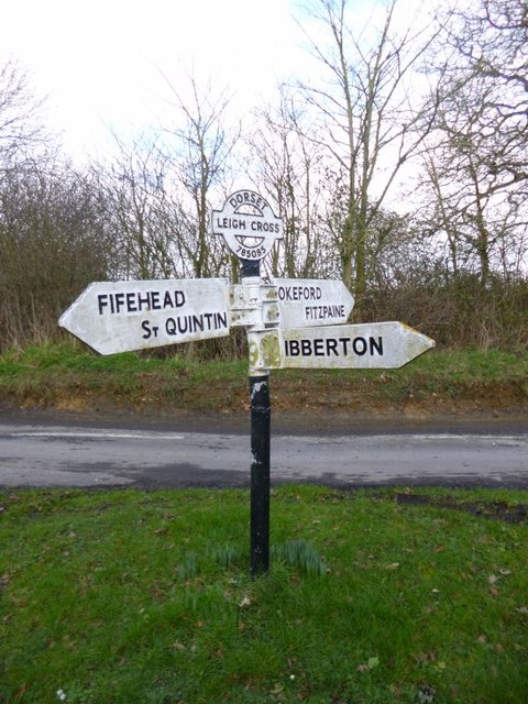
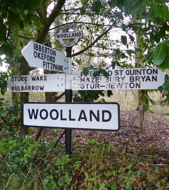
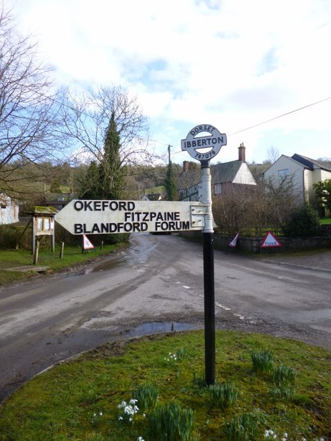
Related Wikis

Fifehead Neville

Fifehead Neville is a village and civil parish in the county of Dorset in southern England, situated in the Blackmore Vale about two miles (three kilometres...

Belchalwell

Belchalwell is a small village and former civil parish, now in the parish of Okeford Fitzpaine in the Blackmore Vale, in the Dorset district, in the ceremonial...

Ibberton

Ibberton is a village and civil parish in the county of Dorset in southern England. It is situated in the Blackmore Vale under the scarp face of the Dorset...

St Aldhelm's Church, Belchalwell

St Aldhelm's Church is a Grade II* listed Anglican church in the village of Belchalwell, Dorset. It is in the ecclesiastical parish of Belchalwell, which...

Woolland

Woolland is a village and civil parish in north Dorset, England, situated in the Blackmore Vale under Bulbarrow Hill 7 miles (11 km) west of Blandford...

Church of St Eustace, Ibberton

The Parish Church of St Eustace is a Grade II* listed Anglican church in the village of Ibberton, Dorset. It stands to the south of the village, on a steep...

Belchalwell Street

Belchalwell Street is a village in Dorset, England, at the foot of Bell Hill, generally included in the village of Belchalwell. == External links == Belchalwell

Hazelbury Bryan

Hazelbury Bryan is a village and civil parish in the county of Dorset in southern England. It is situated in the Blackmore Vale, approximately five miles...

Nearby Amenities

Located within 500m of 50.880995,-2.3241518
Ford: yes
Lat/Long: 50.8789718/-2.3179497
Ford: yes
Lat/Long: 50.8789747/-2.3181383
The data included in this document is from www.openstreetmap.org. The data is made available under ODbL.

Have you been to Fudge Copse?

Leave your review of Fudge Copse below (or comments, questions and feedback).