Devon
Historic County in
England
Devon
Devon is a historic county located in the southwest of England. It is bordered by the Bristol Channel to the north, the English Channel to the south, and Cornwall to the west. The county covers an area of approximately 2,590 square miles (6,700 square kilometers) and has a population of around 1.2 million people.
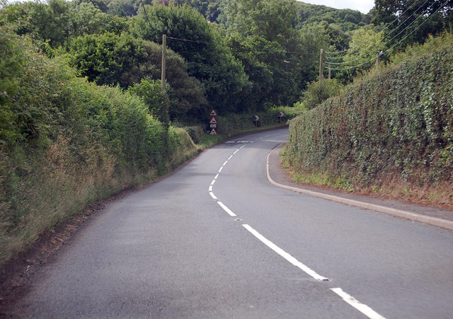
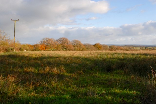
Devon is known for its stunning coastline, which stretches for over 200 miles (320 kilometers) and features beautiful sandy beaches, rugged cliffs, and picturesque fishing villages. The county is also home to Dartmoor National Park, a vast moorland known for its wild ponies, granite tors, and ancient archaeological sites.
Historically, Devon was inhabited by the Celtic Dumnonii tribe before being conquered by the Romans in the first century AD. The county played a significant role in the Anglo-Saxon period and was later invaded by the Vikings before becoming part of the Kingdom of Wessex. Throughout its history, Devon has been a hub for trade, fishing, and agriculture, with industries such as mining, wool, and shipbuilding thriving in the past.
Today, Devon is a popular tourist destination, attracting visitors from around the world. Its rich history is evident in the numerous castles, stately homes, and medieval towns scattered throughout the county. The charming city of Exeter, with its impressive cathedral and Roman walls, serves as the county's administrative center. Devon offers a range of outdoor activities, including hiking, surfing, and sailing, making it a haven for nature enthusiasts.
If you have any feedback on the listing, please let us know in the comments section below.
Devon Images
Images are sourced within 2km of 50.7998/-3.897637 or Grid Reference SS6601. Thanks to Geograph Open Source API. All images are credited.


Devon is located at Grid Ref: SS6601 (Lat: 50.7998, Lng: -3.897637)
What 3 Words
///divisible.examples.educates. Near North Tawton, Devon
Nearby Locations
Related Wikis

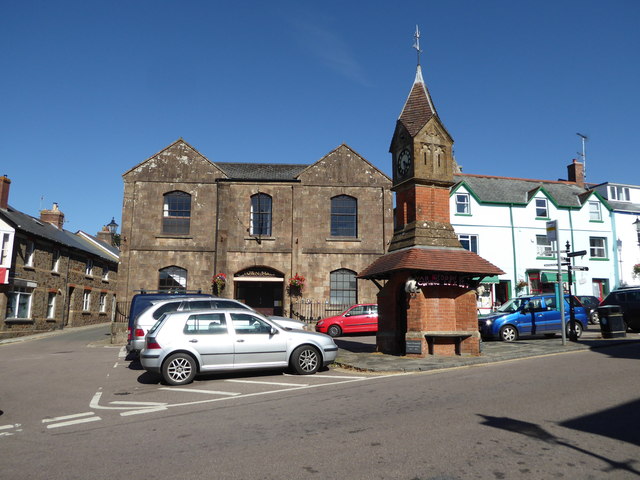
North Tawton Town Hall
North Tawton Town Hall is a municipal building in The Square, North Tawton, Devon, England. The town hall, which is used for public events, is a Grade...

South West Peninsula
The South West Peninsula is the area of England between the Bristol Channel to the north and the English Channel to the south. It is part of the South...

North Tawton
North Tawton is a small town in Devon, England, situated on the river Taw. It is administered by West Devon Council. The population of the electoral...
Court Green
Court Green is a house on Essington Road in North Tawton, Devon, England. It was the home the poets Ted Hughes and Sylvia Plath moved to in late August...

North Tawton railway station
North Tawton railway station was a railway station serving the town of North Tawton in Devon, England. North Tawton lies on the River Taw. == History... ==

Battle of Sampford Courtenay
The Battle of Sampford Courtenay was one of the chief military engagements in the Western Rebellion of 1549. == Preparations == By mid August 1549, Humphrey...
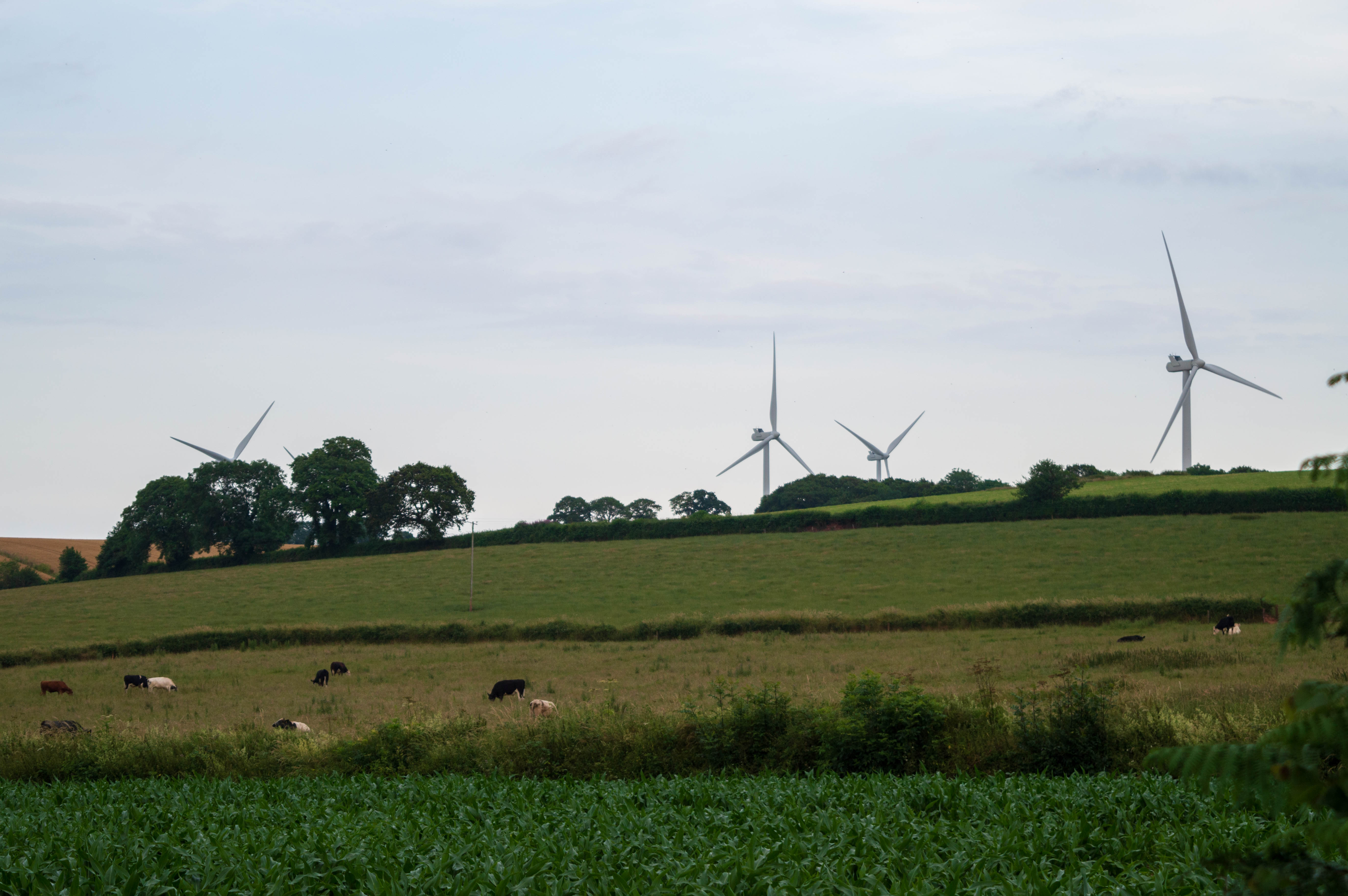
Den Brook Wind Farm
Den Brook Wind Farm is a windfarm in Devon, England. The windfarm is located 2 kilometres (1.2 mi) south-east of North Tawton and 2.5 kilometres (1.6 mi...

Bondleigh
Bondleigh is a village and civil parish in the West Devon district of Devon, England, on the River Taw, north of North Tawton. According to the 2011 census...
Nearby Amenities
Located within 500m of 50.7998,-3.897637Have you been to Devon?
Leave your review of Devon below (or comments, questions and feedback).