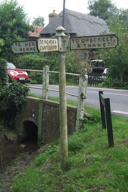
Chislet

Civil Parish in Kent Canterbury

England

Chislet

Direction Sign – Signpost on Old Tree Road, Boyden Gate Located at Boyden Gate on the northwest side of the junction of Boyden Gate Hill, Old Tree Road and Church Lane in Hoath parish. 3 arms and pyramid finial. See also <a title="https://www.geograph.org.uk/photo/373289" href="https://www.geograph.org.uk/photo/373289">Link</a>.

Milestone Society National ID: KE_TR2265
Direction Sign – Signpost on Old Tree Road, Boyden Gate Credit: John V Nicholls

Chislet is a civil parish located in the county of Kent, in southeast England. It is situated about 6 miles northeast of the historic city of Canterbury. The parish covers an area of approximately 8.4 square miles and is home to a population of around 1,200 people.

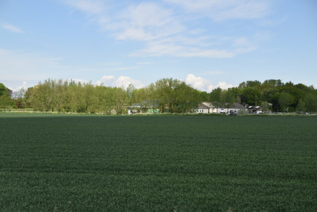
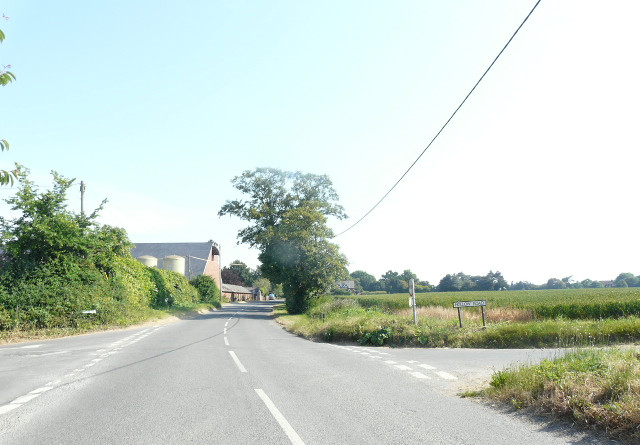
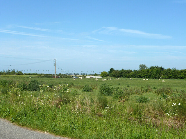
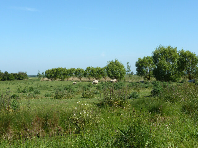
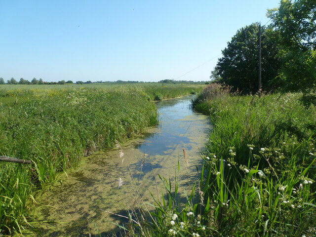
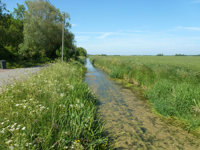
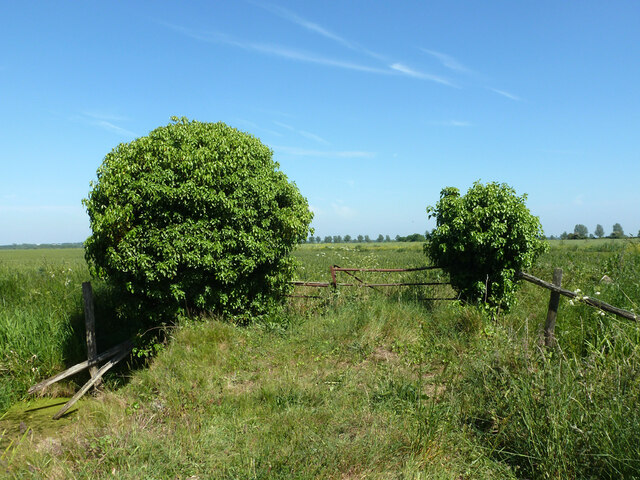
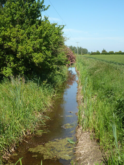
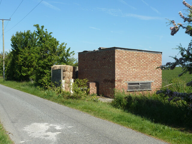
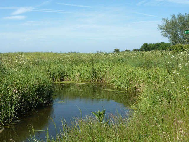
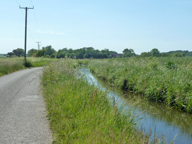
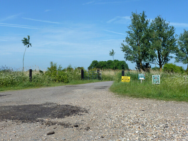
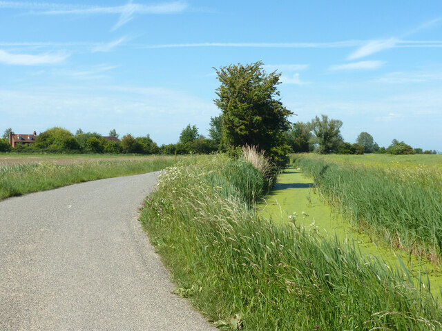
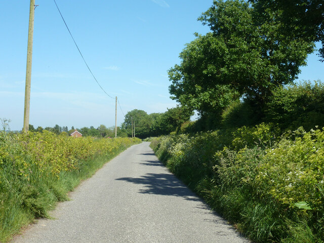
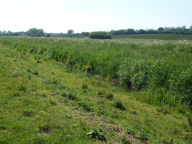
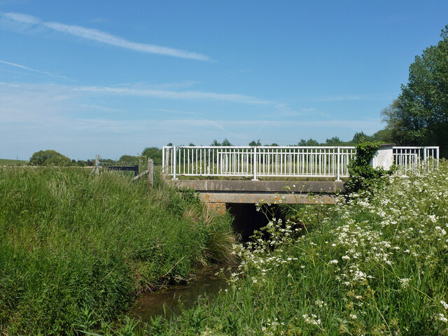
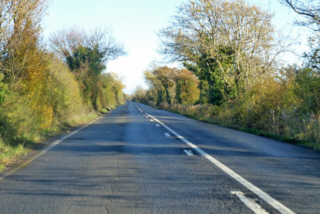
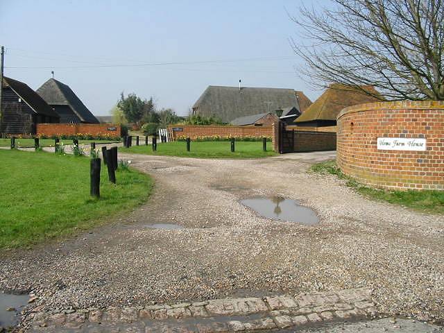
Chislet is a rural area surrounded by beautiful countryside, with a mix of farmland and woodland. The landscape is characterized by gentle rolling hills and picturesque views. The nearby Great Stour River runs through the parish, adding to its natural beauty.

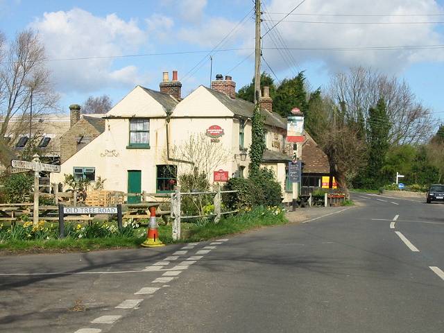
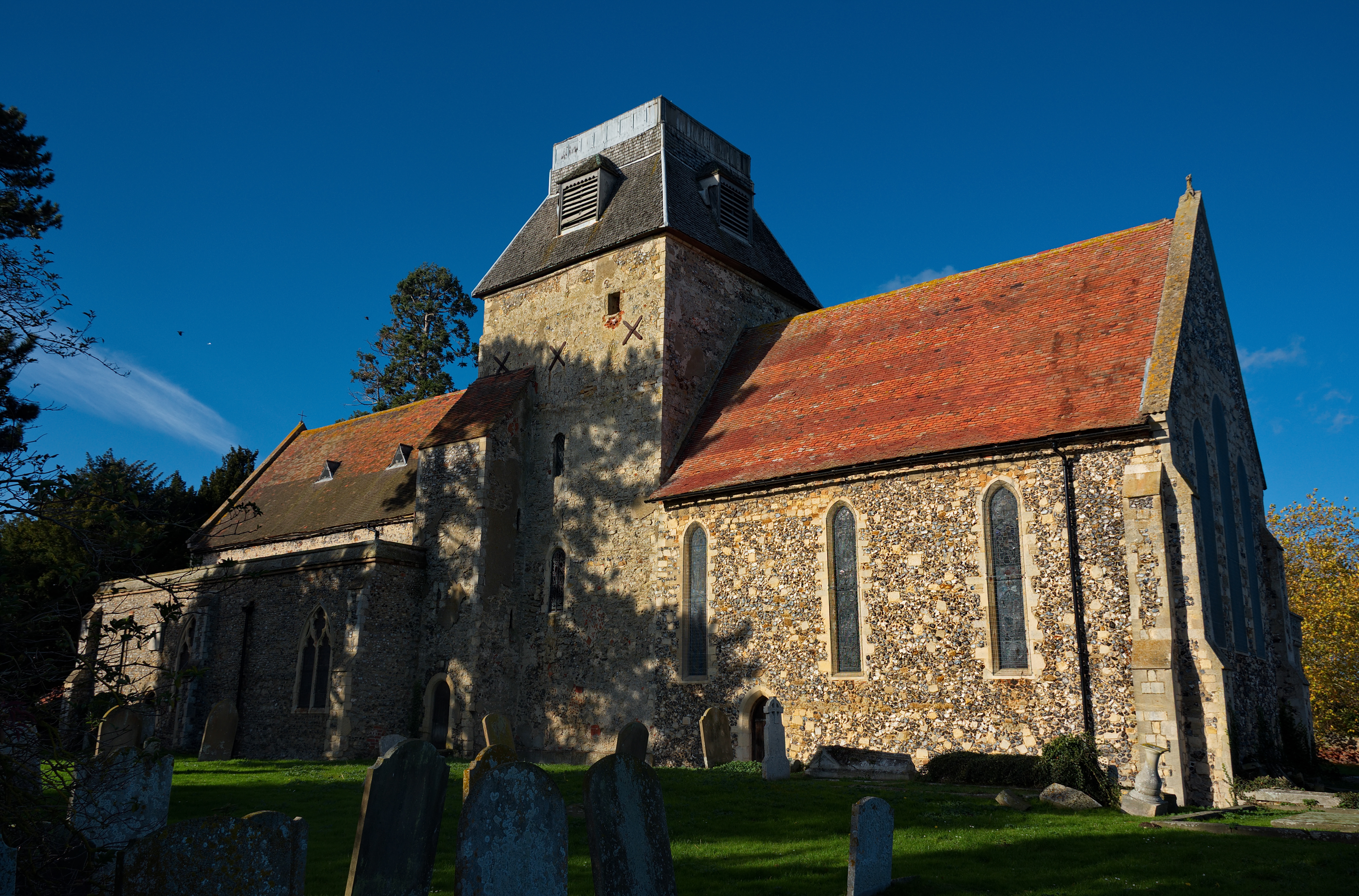
The village itself is small and charming, with a few residential houses and a parish church dedicated to St. Mary the Virgin. The church dates back to the 12th century and is known for its beautiful stained glass windows and ornate architecture.

Chislet has a strong sense of community and residents often engage in local activities and events. There is a village hall that serves as a meeting place for various groups and clubs. The parish also has a primary school, providing education for children in the area.

Although Chislet is predominantly rural, it benefits from its proximity to Canterbury, which offers a wide range of amenities and services. The city is easily accessible by road, making it convenient for residents to access shopping centers, healthcare facilities, and other urban amenities.

Overall, Chislet is a peaceful and picturesque civil parish that offers a tranquil living environment while still providing easy access to nearby urban centers.

If you have any feedback on the listing, please let us know in the comments section below.

Chislet Images

Images are sourced within 2km of 51.343774/1.205232 or Grid Reference TR2365. Thanks to Geograph Open Source API. All images are credited.

Direction Sign – Signpost on Old Tree Road, Boyden Gate Located at Boyden Gate on the northwest side of the junction of Boyden Gate Hill, Old Tree Road and Church Lane in Hoath parish. 3 arms and pyramid finial. See also <a title="https://www.geograph.org.uk/photo/373289" href="https://www.geograph.org.uk/photo/373289">Link</a>.

Milestone Society National ID: KE_TR2265
Direction Sign – Signpost on Old Tree Road, Boyden Gate
Located at Boyden Gate on the northwest side of the junction of Boyden Gate Hill, Old Tree Road and Church Lane in Hoath parish. 3 arms and pyramid finial. See also Link. Milestone Society National ID: KE_TR2265
Wall End Farm
Wall End Farm
Chislet Court Farm Viewed from Church Lane near to the junction with Hollow Road.
Chislet Court Farm
Viewed from Church Lane near to the junction with Hollow Road.
Sheep grazing, Marshside
North Stream, Marshside Looking upstream, with little flow in June.
North Stream, Marshside
Looking upstream, with little flow in June.
North Stream, Marshside Looking downstream, with little flow in June.
North Stream, Marshside
Looking downstream, with little flow in June.
Bridge over North Stream, Marshside Apparently disused for field access.
Bridge over North Stream, Marshside
Apparently disused for field access.
Drain by Chitty Lane The lane is to the left.
Drain by Chitty Lane
The lane is to the left.
Pump house by Chitty Lane Later demolished.  There is a pipe passing under the lane to the drain on the other side.  It looks a bit home-made, not a drainage authority feature.  It was replaced by a modern trailed irrigation pump.
Pump house by Chitty Lane
Later demolished. There is a pipe passing under the lane to the drain on the other side. It looks a bit home-made, not a drainage authority feature. It was replaced by a modern trailed irrigation pump.
Drain by Chitty Lane
Start of Tipper Drove A private road off Chitty Lane, the way to Marshside Fishery.
Start of Tipper Drove
A private road off Chitty Lane, the way to Marshside Fishery.
Drain by Chitty Lane
Chitty Lane, Chislet Towards Chitty.
Chitty Lane, Chislet
Towards Chitty.
Nethergong Penn A rather overgrown but important drainage channel.
Nethergong Penn
A rather overgrown but important drainage channel.
Bridge over Nethergong Penn The road crossing is Nethergong Hill, at least to the right. It becomes Sandpit Hill somewhere to the left.
Bridge over Nethergong Penn
The road crossing is Nethergong Hill, at least to the right. It becomes Sandpit Hill somewhere to the left.
A28 Island Road towards Margate On the Sarre Wall, a causeway to Thanet made after the Wantsum Channel had silted up so much that the previous ferry was impractical.
A28 Island Road towards Margate
On the Sarre Wall, a causeway to Thanet made after the Wantsum Channel had silted up so much that the previous ferry was impractical.
Show me another place!

Chislet is located at Grid Ref: TR2365 (Lat: 51.343774, Lng: 1.205232)

Administrative County: Kent

District: Canterbury

Police Authority: Kent

What 3 Words

///roses.snail.ecologist. Near Herne Bay, Kent

Nearby Locations

Homersham Lake Chislet

Related Wikis

Marshside, Kent

Marshside is a hamlet in the county of Kent, England. It is in the parish of Chislet alongside the Chislet Marshes southeast of Herne Bay. == Governance... ==

Boyden Gate

Boyden Gate is a village in the civil parish of Chislet in Kent, England. == External links == Media related to Boyden Gate at Wikimedia Commons

Chislet

Chislet is an English village and civil parish in northeast Kent between Canterbury and the Isle of Thanet. The parish is the second largest in the district...

Sarre Penn

Sarre Penn is a tributary of the River Stour in Kent, England, joining with the River Wantsum near Sarre, where it is known locally as the Fishbourne...

Highstead

Highstead is a village near Chislet, off the A299 road, in the Canterbury District, in the English county of Kent. It is near the town of Herne Bay. Highstead...

Grove Ferry and Upstreet railway station

Grove Ferry and Upstreet was a railway station in east Kent. It was opened by South Eastern Railway (SER), on the Ashford to Ramsgate (via Canterbury West...

Upstreet

Upstreet is a village in the civil parish of Chislet in Kent, England. It is in the local government district of Canterbury, and the electoral ward of...

Grays, Kent

Grays is a hamlet within the civil parish of Chislet, near Canterbury, Kent. It is located to the south of the A299 road and is located on the North Stream...

Have you been to Chislet?

Leave your review of Chislet below (or comments, questions and feedback).