Homersham Lake
Lake, Pool, Pond, Freshwater Marsh in Kent Canterbury
England
Homersham Lake
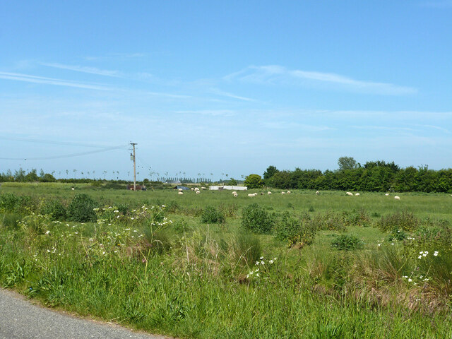
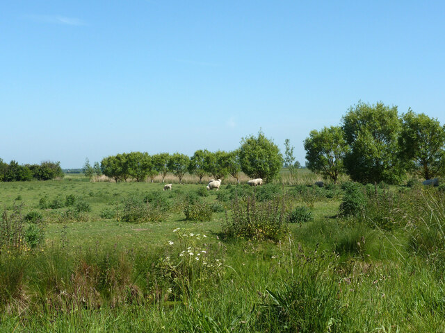
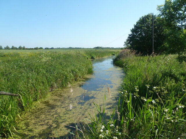
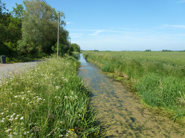
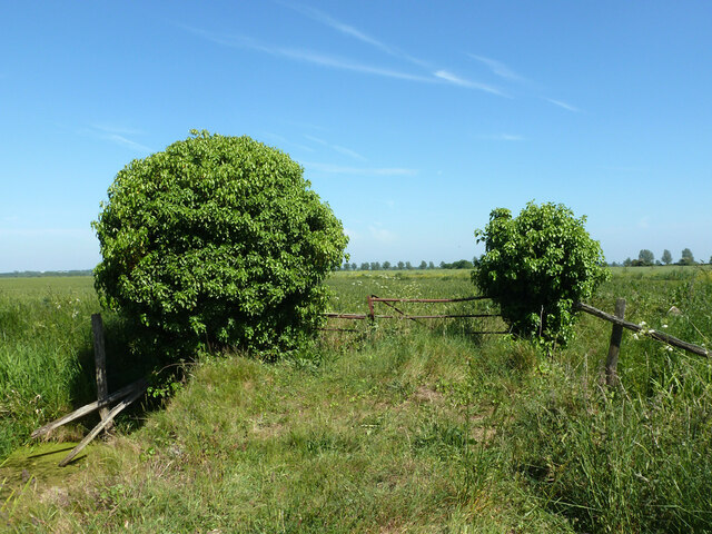
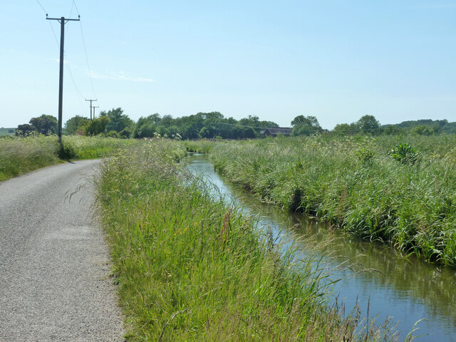
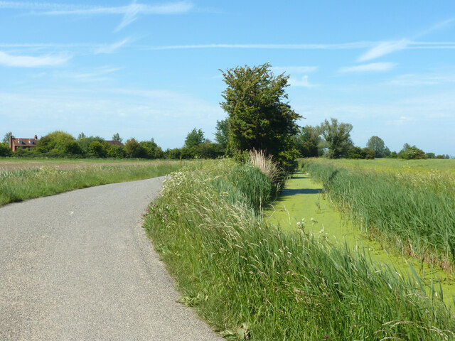
Homersham Lake, located in Kent, England, is a picturesque freshwater body encompassing a diverse ecosystem. Spanning over an area of approximately 15 acres, it is classified as a lake, pool, pond, and freshwater marsh, offering a range of habitats for various flora and fauna.
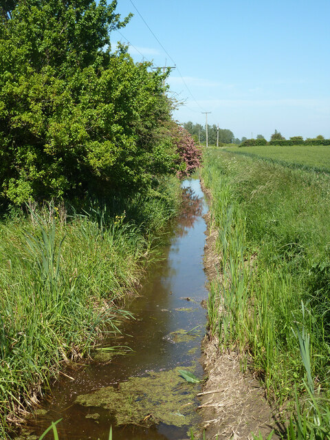
The lake is nestled within a verdant landscape, surrounded by lush woodlands and meadows, creating a serene and tranquil atmosphere. Its crystal-clear waters are fed by several small streams and springs that meander through the nearby countryside, ensuring a constant supply of fresh water.
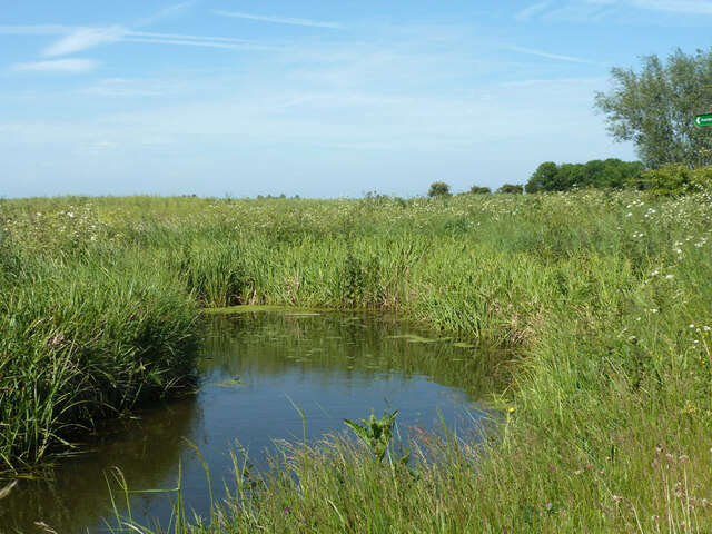
The lake's shoreline is adorned with a variety of vegetation, including water lilies, reeds, and rushes, providing shelter and food for numerous species of birds, insects, and small mammals. The dense vegetation also acts as a natural filtration system, improving water quality and promoting the growth of aquatic plants.
Homersham Lake serves as a vital habitat for a diverse array of wildlife. The lake is home to a multitude of fish species, such as perch, roach, and tench, attracting anglers from far and wide. It also attracts a plethora of bird species, including ducks, swans, herons, and kingfishers, making it a popular spot for birdwatching enthusiasts.
The lake offers recreational activities such as boating and fishing, allowing visitors to immerse themselves in the natural beauty of the surroundings. The calm and serene environment makes it an ideal location for nature walks and picnics, providing an opportunity for visitors to relax and unwind amidst the tranquil setting.
Overall, Homersham Lake in Kent is a haven for wildlife and nature enthusiasts, offering a diverse range of habitats and recreational activities for all to enjoy.
If you have any feedback on the listing, please let us know in the comments section below.
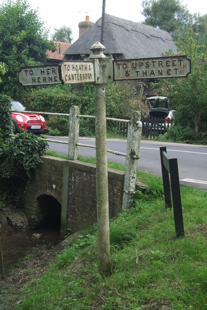
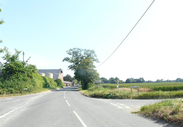
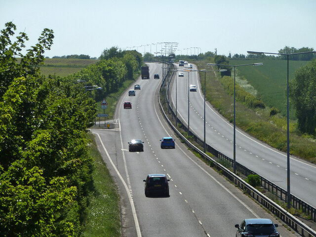
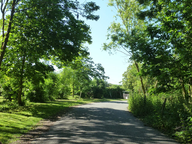
Homersham Lake Images
Images are sourced within 2km of 51.34768/1.2040486 or Grid Reference TR2365. Thanks to Geograph Open Source API. All images are credited.
Homersham Lake is located at Grid Ref: TR2365 (Lat: 51.34768, Lng: 1.2040486)
Administrative County: Kent
District: Canterbury
Police Authority: Kent
What 3 Words
///showcases.tentacles.wakes. Near Herne Bay, Kent
Nearby Locations
Related Wikis
Marshside, Kent
Marshside is a hamlet in the county of Kent, England. It is in the parish of Chislet alongside the Chislet Marshes southeast of Herne Bay. == Governance... ==
Boyden Gate
Boyden Gate is a village in the civil parish of Chislet in Kent, England. == External links == Media related to Boyden Gate at Wikimedia Commons
Chislet
Chislet is an English village and civil parish in northeast Kent between Canterbury and the Isle of Thanet. The parish is the second largest in the district...

Grays, Kent
Grays is a hamlet within the civil parish of Chislet, near Canterbury, Kent. It is located to the south of the A299 road and is located on the North Stream...

Highstead
Highstead is a village near Chislet, off the A299 road, in the Canterbury District, in the English county of Kent. It is near the town of Herne Bay. Highstead...

Sarre Penn
Sarre Penn is a tributary of the River Stour in Kent, England, joining with the River Wantsum near Sarre, where it is known locally as the Fishbourne...
Chislet Windmill
Chislet windmill was a Grade II listed smock mill in Chislet, Kent, England. It was built in 1744 and burnt down on 15 October 2005. == History == The...
Ford Palace
Ford Palace was a residence of the Archbishops of Canterbury at Ford, about 6.6 miles (10.6 km) north-east of Canterbury and 2.6 miles (4.2 km) south-east...
Nearby Amenities
Located within 500m of 51.34768,1.2040486Have you been to Homersham Lake?
Leave your review of Homersham Lake below (or comments, questions and feedback).